| Previous :: Next Topic |
| Author |
Message |
cartman
Member


Joined: 20 Feb 2007
Posts: 2800 | TRs | Pics
Location: Fremont |
|
cartman
Member
|
 Fri Oct 13, 2017 10:16 am |
|
|
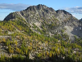 This is what we came for 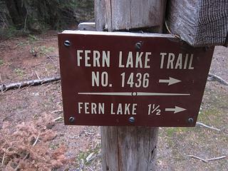 Turnoff for Fern Lake 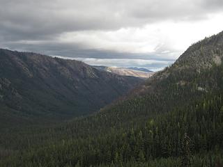 Clouds over North Fork Entiat River Valley 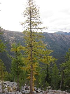 First larches 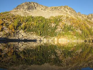 Morning reflection on Fern Lake 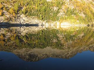 Anthem Peak reflection 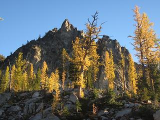 Pinnacle and larches above camp 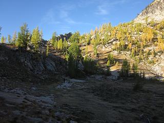 Around the lake 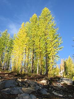 Golden larches 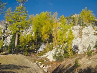 White granite and golden trees 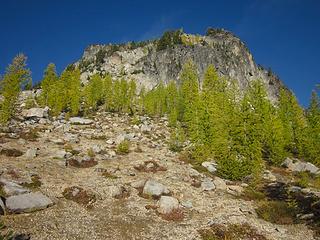 Larches, not quite yet golden 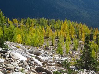 Looking back 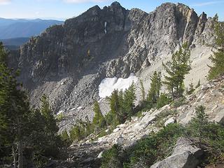 Subpeak of Anthem 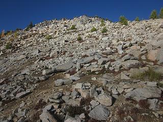 Anthem's summit slope 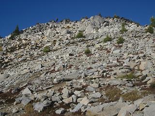 Nick topping out on Anthem 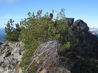 Nick on the summit of Anthem 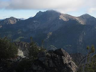 Cardinal 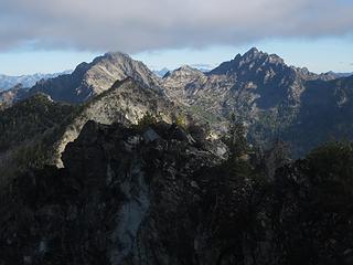 Saska and Emerald 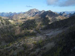 Gopher with Pinnacle behind 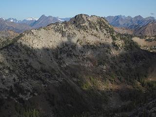 Choral 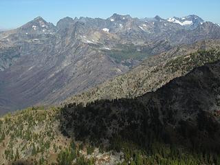 Maude, Seven Fingered Jack, Fernow, Copper 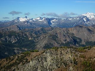 Clark, Luahna and the Dakobed Traverse 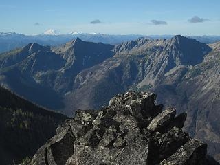 Garland and Devils Smokestack 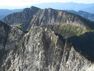 Duncan Hill 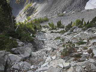 Downclimbing Anthem's SE slope 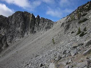 Traverse this 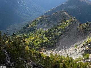 Larches below! 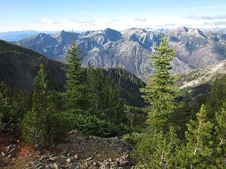 On Anthem's South Ridge 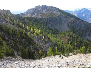 Duncan Hill and larches 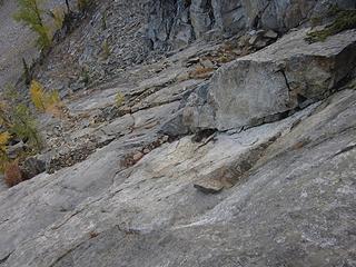 Unavoidable slab traverse 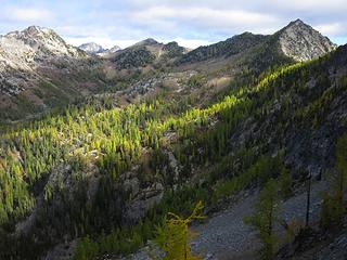 Upper Anthem Creek Valley 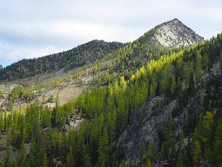 Melody Mtn 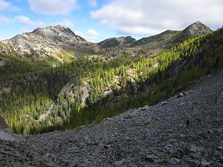 Moving on 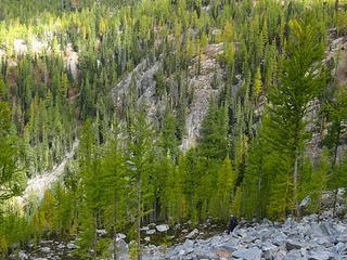 There be many larches here 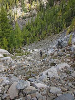 Nick walking down 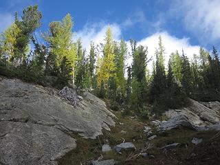 Now going up 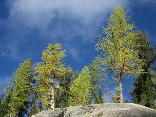 Sunlit larches 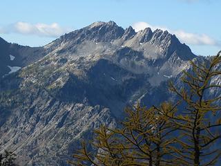 Rampart 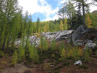 Larches on the way to Choral Pass 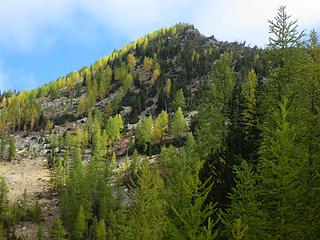 Larch ridge 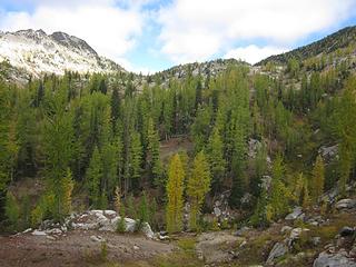 Looking up to Choral Pass 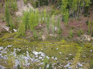 Mossy stream 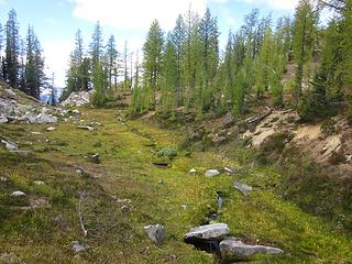 Walking along the stream 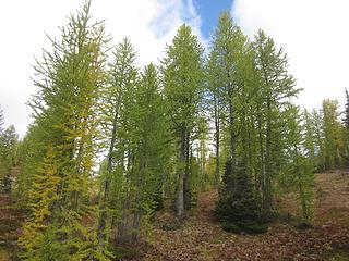 More larches 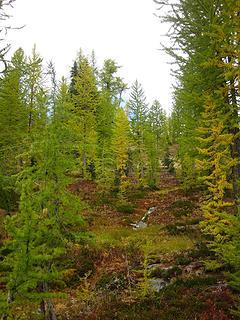 Larchy woods 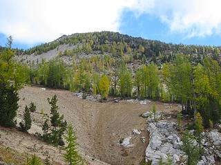 Larches on Melody Mtn 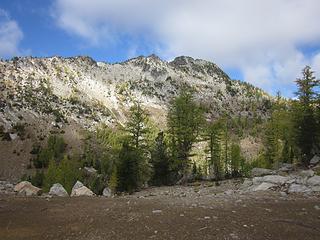 Choral Peak 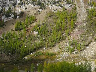 Basin below Choral 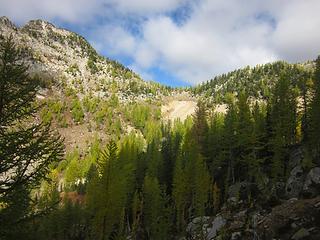 Choral Pass 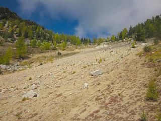 Choral Pass 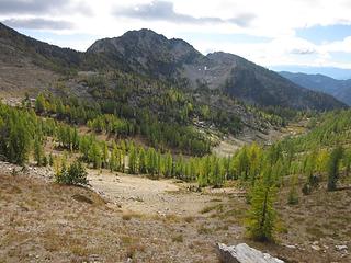 Shadowplay 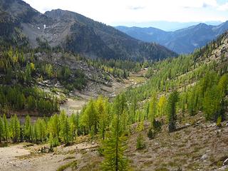 Looking down valley 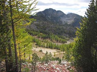 Anthem from Choral Pass 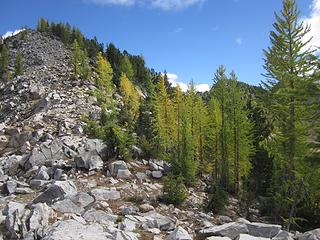 Choral Pass 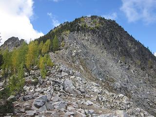 Choral 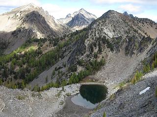 Choral Lake and peaks 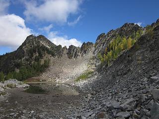 Choral Lake 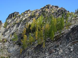 Larches above Choral Lake 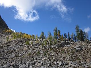 Larch ridge 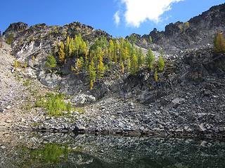 More larches above the lake 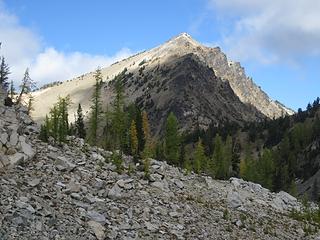 Gopher 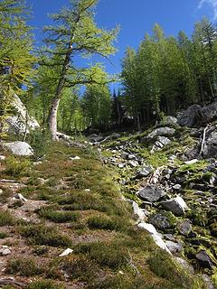 Stream gully below Choral Lake 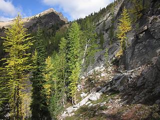 Traverse 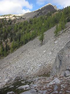 More rocks to cross 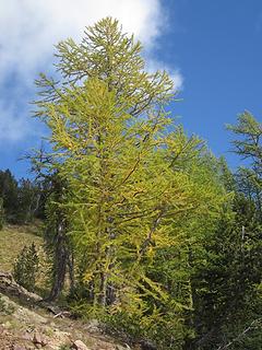 Big one 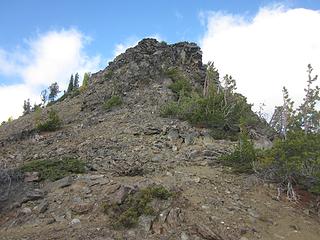 South Ridge of Gopher 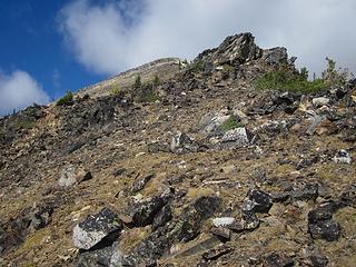 On Gopher 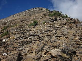 Gopher's summit slope 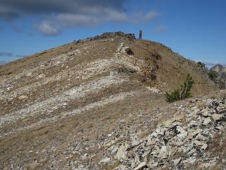 Nick on Gopher summit 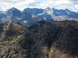 Maude to Copper 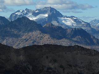 Bonanza 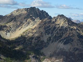 Pinnacle 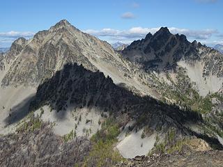 Sunny Saska, Shady Emerald 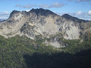 Cardinal 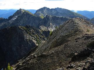 Melody, Anthem, Duncan Hill 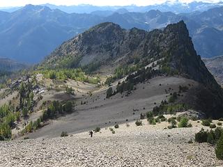 Down the pumice 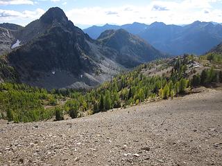 Choral and larches 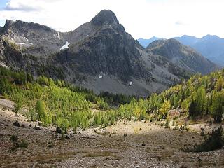 Choral Pk and sunlit larches 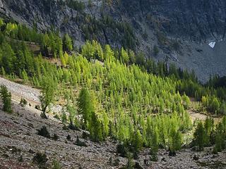 Larches all lit up 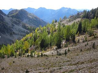 The other side 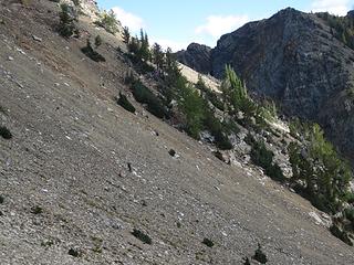 Nick walking down the pumice slope 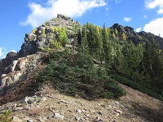 Paean Peak, from the saddle with Gopher 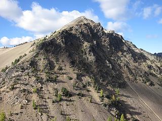 Gopher from the saddle 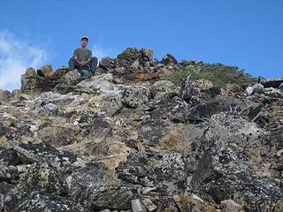 Nick is excited to be here 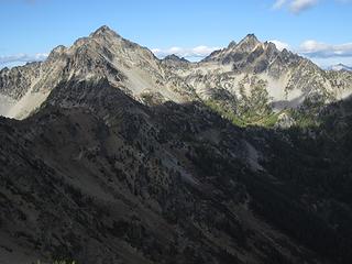 Shadows falling on Saska and Emerald 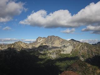 Cardinal 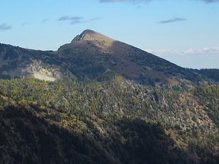 Pyramid 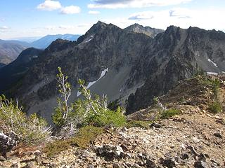 Next! 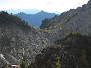 Choral Pass 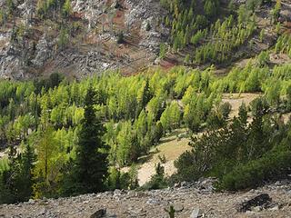 Larches below! 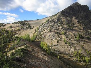 Back to the saddle again 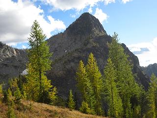 Larches ahead, Choral behind 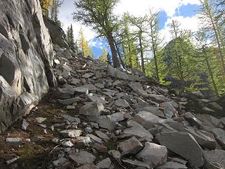 The rock ramp 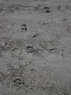 Cat tracks at Choral Lake 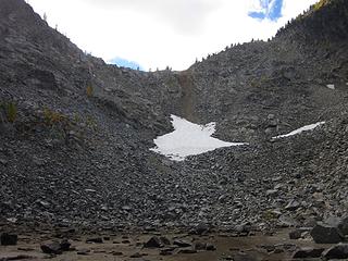 All choss to Choral Pass 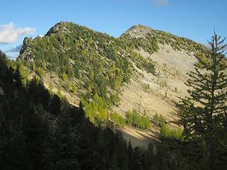 Dual summits This is what we came for 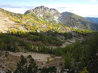 Down into the basin 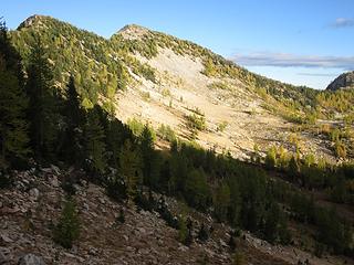 Dark and Light 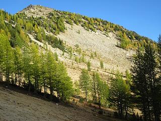 Approaching the light 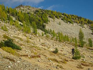 Into the sun 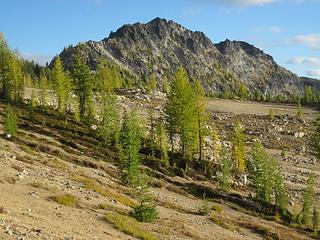 Best peak of the trip 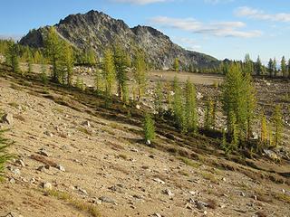 Approaching the larch plain 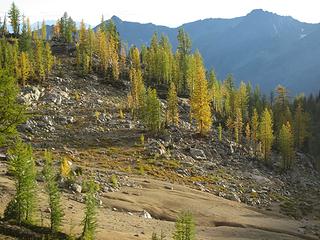 Lighted larches 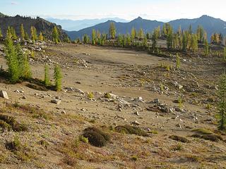 Larch plain 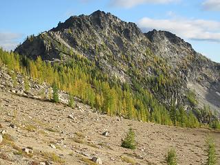 Harmonious Melody 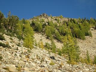 Up we go 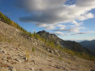 A look to the right 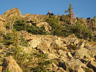 Nick on Melody summit in evening light 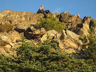 A toast to a fine day 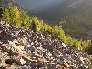 Lit up to the left 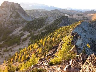 Brilliant to the right 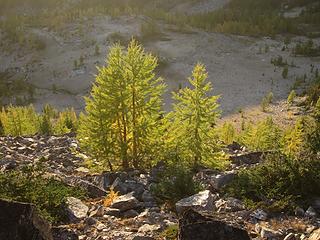 Glowing below 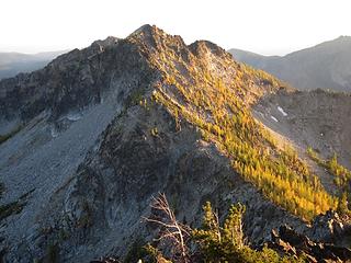 Lighted larches on Anthem 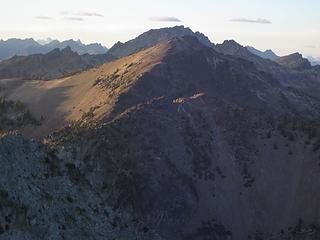 Shadows on Gopher 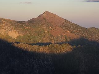 Evening light on Pyramid 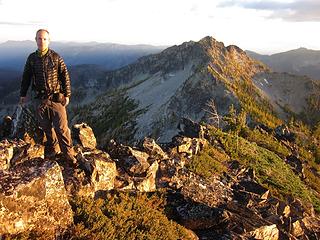 Nick on summit of Melody 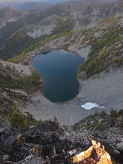 Fern Lake from the summit 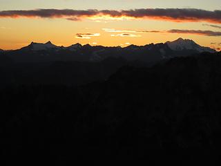 Sunset over the Dakobeds 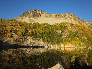 Morning at Fern Lake 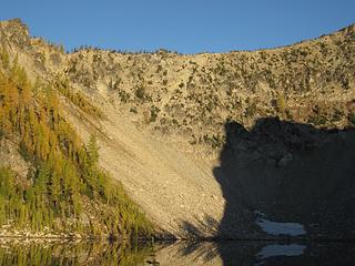 Morning light on the descent slope 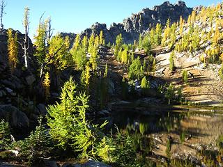 Lake larches 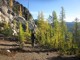 Leaving camp 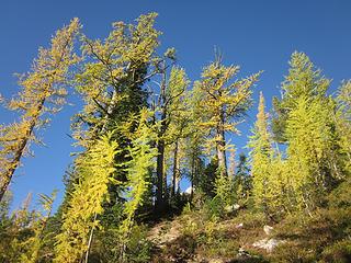 Looking up 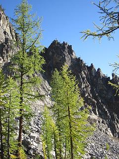 Larches and crag 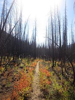 Straight ahead 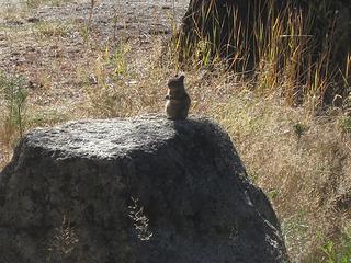 Greeting party
|
| Back to top |
  
|
|
Brushbuffalo
Member

Joined: 17 Sep 2015
Posts: 1887 | TRs | Pics
Location: there earlier, here now, somewhere later... Bellingham in between |
| cartman wrote: | Down the pumice |
Don't you just love that Glacier Peak pumice?
Looks like a great trip to do right now during peak larch gold.
Passing rocks and trees like they were standing still
Passing rocks and trees like they were standing still
|
| Back to top |
|
|
neek
Member

Joined: 12 Sep 2011
Posts: 2337 | TRs | Pics
Location: Seattle, WA |
|
neek
Member
|
Fri Oct 13, 2017 11:25 am |
|
|
Aw those little larches look so green  Thanks for a great trip, no way would I have thought of it on my own. Also for the detailed trip report. A few additional pics: Thanks for a great trip, no way would I have thought of it on my own. Also for the detailed trip report. A few additional pics:
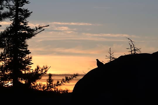 Grouse silhouette 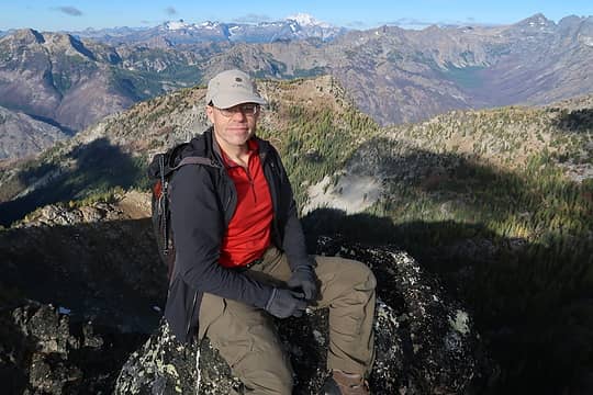 Eric on Anthem (Spangled Banner Peak) 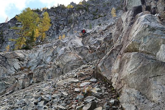 Just past the slabs 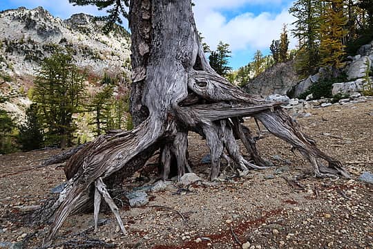 Guessing there was a bit more soil here at one point 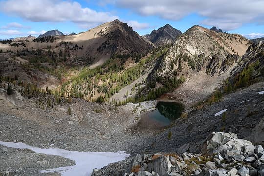 Getting ready to descend to Choral Lake. Saska behind Gopher and "Paean" 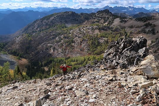 Eric approaching Gopher's summit 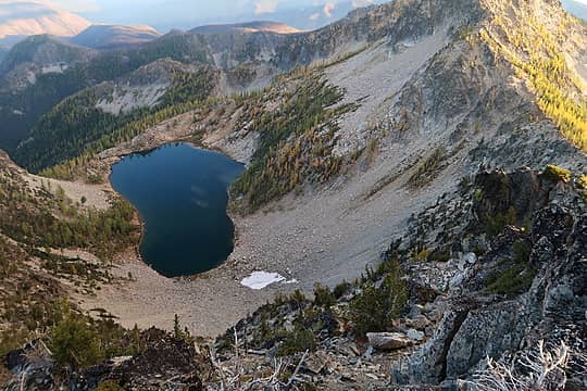 Fern Lake 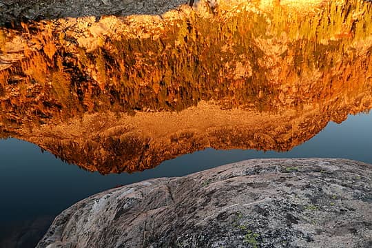 Early morning reflection 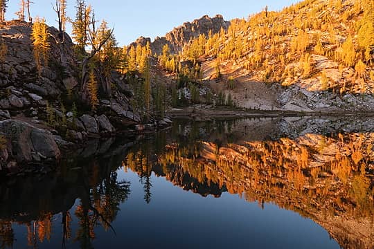 Reflection 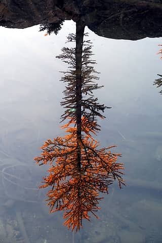 Larch reflection 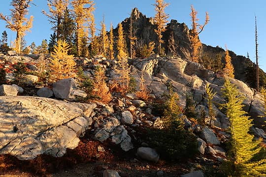 Looking N from Fern Lake camp 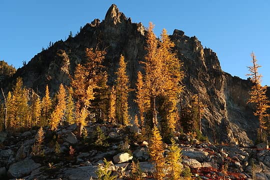 Looking N from Fern Lake camp
|
| Back to top |
|
|
RichP
Member

Joined: 13 Jul 2006
Posts: 5634 | TRs | Pics
Location: here |
|
RichP
Member
|
Fri Oct 13, 2017 1:44 pm |
|
|
Melody is a nice name for 7909.
|
| Back to top |
|
|
HitTheTrail
Member

Joined: 30 Oct 2007
Posts: 5455 | TRs | Pics
Location: 509 |
Gotta love those Entiats'! Such a varied terrain.  I have often wondered how many people would "discover" the North Fork area if there were not a handful of T100's up there. I have often wondered how many people would "discover" the North Fork area if there were not a handful of T100's up there.
|
| Back to top |
|
|
|
|
You cannot post new topics in this forum
You cannot reply to topics in this forum
You cannot edit your posts in this forum
You cannot delete your posts in this forum
You cannot vote in polls in this forum
|
Disclosure: As an Amazon Associate NWHikers.net earns from qualifying purchases when you use our link(s). |


