Brushbuffalo
Member


Joined: 17 Sep 2015
Posts: 1887 | TRs | Pics
Location: there earlier, here now, somewhere later... Bellingham in between |
Note: I did this trip on October 24, 2017....a bit lazy getting the TR up!
I had wanted to go look for the Roland Point lookout site near Ross Lake for years, and when lookout aficionado Eric W. posted his report, I thought of also going via the paddle route. But that's still in the future. This time I wanted to try the overland variation.
(Eric gives details of the lookout's history on his website)
In late October I took advantage of a clear day sandwiched between storms to go find the site using the East Bank trail. However, just the day prior to my planned hike WDOT temporarily closed SR-20 at the Ross Dam trailhead.
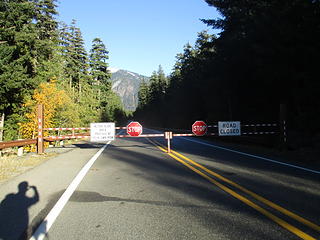 no traffic...yay! (photo taken on way out...note blue sky)7  (morning stratus clouds)
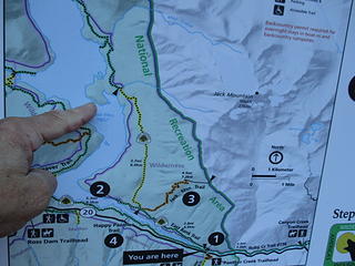 lookout site is on that little peninsula. For years I had guessed it was on the point to the south where the "2" is on this trailhead map. 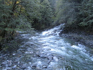 Granite Creek upstream from trail bridge 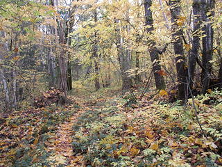 old roadbed. 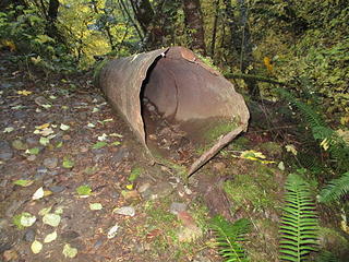 ancient displaced culvert 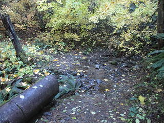 washout and culvert on old roadbed 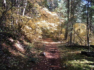 easy going 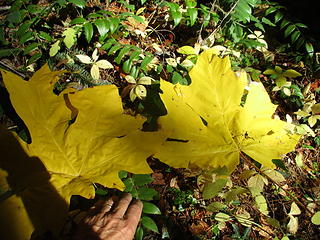 they aren't called 'bigleaf maples' for nothing! 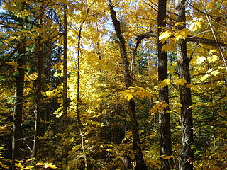 plenty of gold to go around 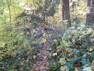 trail north of Hidden Hand Pass has a couple of minor obstacles, easily bypassed. This sapling is a potential eye-poker-outer. 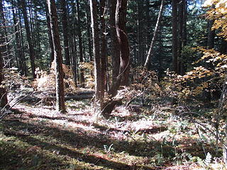 the off-trail route starts out in open forest 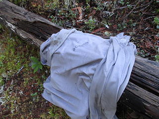 This Tee-shirt, abandoned in a random clearing, shows that I haven't been the only traveler here. No bones nearby, fortunately. 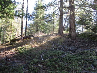 Roland Point lookout site just ahead. Not much view left in more than a half century of tree growth. 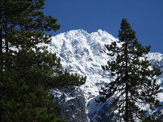 peekaboo views 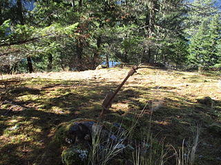 foundation blocks 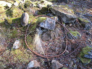 artifact 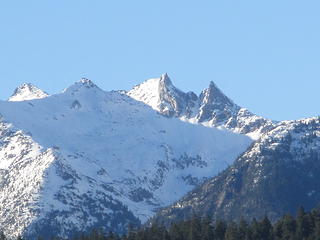 Mount Prophet 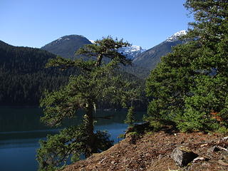 nice viewpoint just below the lookout site 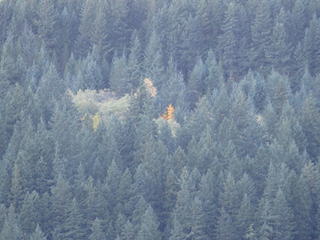 Photo from Lillian Creek bridge on SR-20. Hard to believe there used to be a sizable USFS horse/mule pasture where the cottonwood trees are over there, below the climb to Hidden Hand Pass. Also, that old road had traffic in the past! Back in 1974, I happened to randomly come by when a helicopter was airlifting an ANCIENT pickup truck from the old pasture.....something about removing old human artifacts from the recreation area....  ![in the clearing in this image, in 2011 an [url=https://www.youtube.com/watch?v=mYSOD4lxQxo]observer videotaped[/url] what I think is a grizzly. The grizzled shoulder hair isn't conclusive, but note the shoulder hump. What do you think?](https://cloud.nwhikers.net/37830871224_320x240.jpg) in the clearing in this image, in 2011 an observer videotaped what I think is a grizzly. The grizzled shoulder hair isn't conclusive, but note the shoulder hump. What do you think? 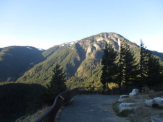 Diablo viewpoint looking at Sourdough Mountain 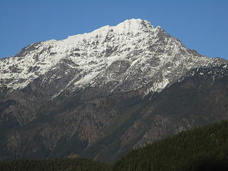 Jack Mountain from the road  Along the highway.WHY?? 
Passing rocks and trees like they were standing still
Passing rocks and trees like they were standing still
|


![in the clearing in this image, in 2011 an [url=https://www.youtube.com/watch?v=mYSOD4lxQxo]observer videotaped[/url] what I think is a grizzly. The grizzled shoulder hair isn't conclusive, but note the shoulder hump. What do you think?](https://cloud.nwhikers.net/37830871224_9776061051_o.jpg#640x480+https://farm5.staticflickr.com/4565/37830871224_9776061051_o.jpg#640x480)


