| Previous :: Next Topic |
| Author |
Message |
Fletcher
Member


Joined: 29 Jul 2009
Posts: 1870 | TRs | Pics
Location: kirkland |
|
Fletcher
Member
|
 Tue Nov 28, 2017 5:03 pm |
|
|
Jake has REALLY been getting into prominence lately, so when we decided to go hiking on Monday, he proposed Anderson Mountain, on the Skagit/Whatcom County line. I argued that we should do something cooler, but Anderson has A LOT of prominence for its short stature, so I humored him.
We parked down on Highway 9, although the gate was open, there was a sign warning us not to proceed in a car. It was cool, we were there for the exercise anyways. After about 30 minutes of walking, the first of several logging trucks came to pass. Naturally, I stuck my thumb up. The driver pulled over, more out of plain curiosity than anything.
"What the hell are you boys doing up here?!" he asked, with a large chunk of chewing tobacco sticking out of his lower lip.
"We're going for the highpoint"
"huh??"
"We're going to the top, can we have a ride?"
"What? I didnt even know there was a top up there.. Well alright, hop on."
This kind gentleman let us ride on the back of his truck for 2 miles or so until he slowed down and stopped. His supervisor wasn't very far up the road, and he was concerned that he might get chewed out if he got caught giving us a ride. We thanked him and walked the rest of the way to the summit. GPS tracks provided by peakbagger were helpful so we never missed a turn.
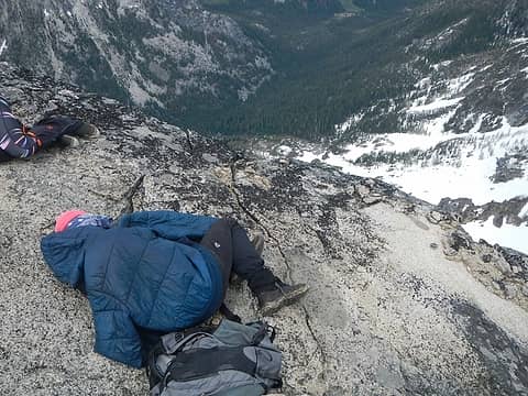
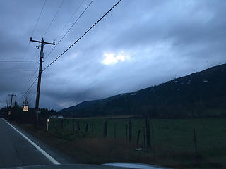 gloomy morning in Skagit County 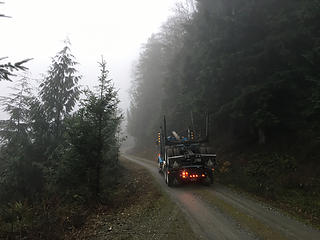 thanks man!! 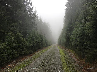 Anderson Mountain 11-27-17 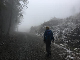 Anderson Mountain 11-27-17 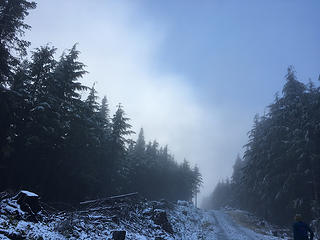 just a tease 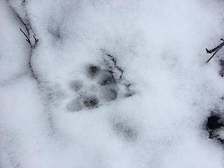 bobcat? 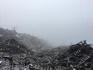 Anderson Mountain 11-27-17 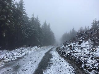 Anderson Mountain 11-27-17 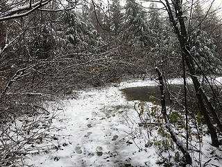 take an immediate left here, don't go around the pond. 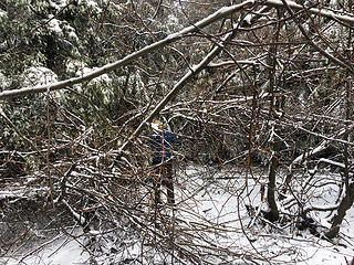 nice 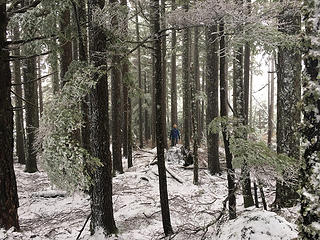 summit area 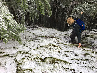 Anderson Mountain 11-27-17 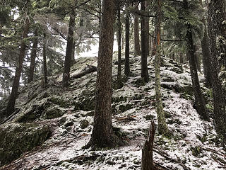 descent crux 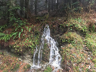 Anderson Mountain 11-27-17 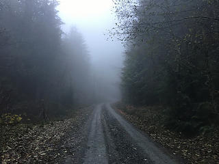 Anderson Mountain 11-27-17
|
| Back to top |
  
|
|
Michael Lewis
Taking a nap
Joined: 27 Apr 2009
Posts: 629 | TRs | Pics
Location: Lynnwood, WA (for now) |
Nice vid! Great writing. I like this snacking whilst veggie belaying too: 
| Fletcher wrote: | Anderson Mountain 11-27-17 |
Probably one of the best Anderson TR's
|
| Back to top |
|
|
Nancyann
Member

Joined: 28 Jul 2013
Posts: 2318 | TRs | Pics
Location: Sultan Basin |
|
Nancyann
Member
|
Wed Nov 29, 2017 12:41 pm |
|
|
Looks like a fun and rewarding day for you guys. Video is great! That reminded me of a few winters ago while walking up the logging road to the top of Blue Mountain in the pouring down rain. A logger rolled down his window when he reached us and asked us what on earth we were doing. When we told him, he burst out laughing and said "why would ANYONE want to do that?" Then he drove off laughing and shaking his head while radioing his buddies to tell them about the idiots he found. 
|
| Back to top |
|
|
Brushbuffalo
Member

Joined: 17 Sep 2015
Posts: 1887 | TRs | Pics
Location: there earlier, here now, somewhere later... Bellingham in between |
| Fletcher wrote: | take an immediate left here, don't go around the pond. |
Definitely go left just before the puddle/ pond. There is a tunnel in the brush that leads quickly and steeply to the viewpoint on top.
If you want to see something interesting geologically, go past the puddle and follow the old road about 200 yards south for a sackung ( see my TR here:
https://www.nwhikers.net/forums/viewtopic.php?t=8022778&highlight=anderson+mt+mtn+mountain
Passing rocks and trees like they were standing still
Passing rocks and trees like they were standing still
|
| Back to top |
|
|
|
|
You cannot post new topics in this forum
You cannot reply to topics in this forum
You cannot edit your posts in this forum
You cannot delete your posts in this forum
You cannot vote in polls in this forum
|
Disclosure: As an Amazon Associate NWHikers.net earns from qualifying purchases when you use our link(s). |


