| Previous :: Next Topic |
| Author |
Message |
Gimpilator
infinity/21M


Joined: 12 Oct 2006
Posts: 1684 | TRs | Pics
Location: Edmonds, WA |
I was invited to attend a very special finish of the DPS list. 4 guys would be completing the list at the same time on Palen Peak. I had already done Palen the year before, but it was such a sweet peak, I didnt mind repeating it. To sweeten the deal, I met my buddy John Stolk from WA to bag peaks in the days before and after.
3-2
Tosco Benchmark
John and I met in Blythe in the late morning. Tosco was the nearest noteworthy peak. Ever wondered what rhymes with Costco? I studied the map and found a road which would get us within striking distance. There were some outlying hills. I could see two potential options to bypass the hills involving washes. We settled for the slightly less direct one which looked more pleasant.
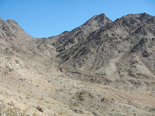 Tosco and access canyon 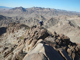 final ridge 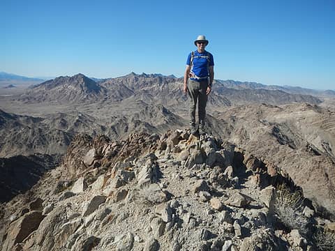 Tosco summit 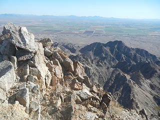 Mojave, Bobbin and Needles Eye in the distance 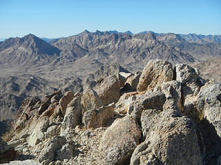 South Maria with Big Maria behind 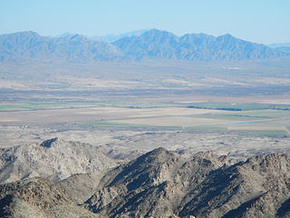 Palen tomorrow 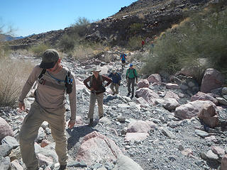 gravy train 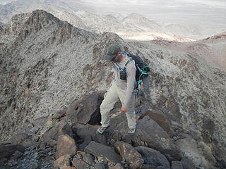 Crag B almost done 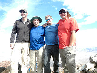 the finishers; Craig Barlow, John Ray, Craig Jagow, and Mark McCormick 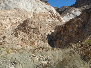 large dryfall with left work around 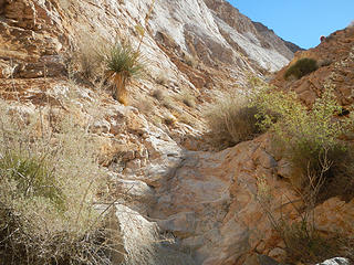 small gully at the base of the white marble wall 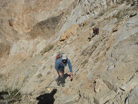 ginger crossing 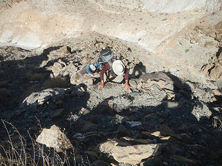 rotten area 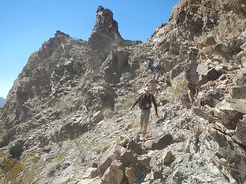 descending ramps to dead end dryfall 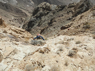 scrambling up the gully to the sub-ridge after turning a corner 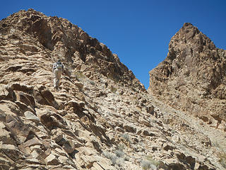 ascending the sub-ridge to traverse to the top notch 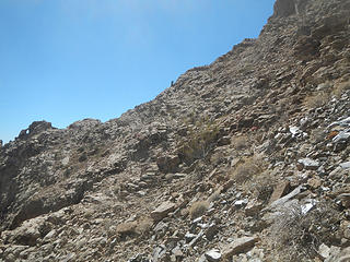 a view of someone on the sub-ridge from lower in the amphitheater 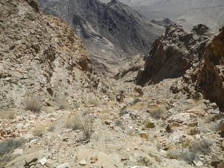 in the gully above the chockstone 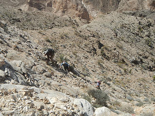 scrambling up the white rock 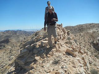 final ridge 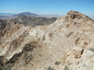 summit ahead 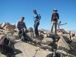 Craig, Craig, Hans and John on Little Maria summit 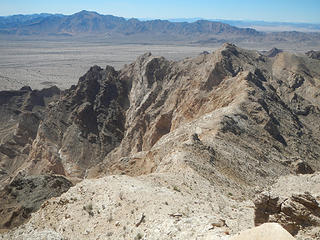 Palen 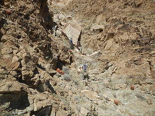 big chostone in the gully 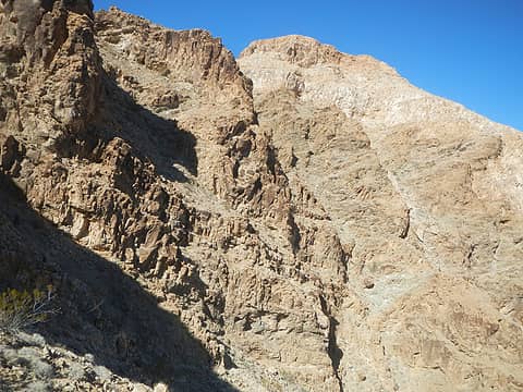 we went up this way 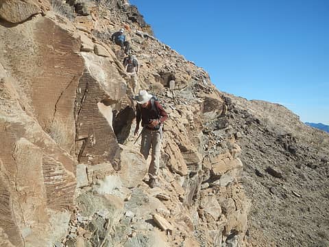 ledges 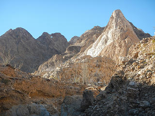 tricky topography 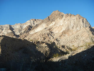 route clearly visible up the south ridge on right (don't ask me where it is), with summit visible on left 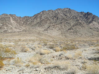 westward canyon 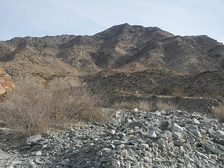 Middle Maria 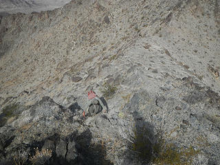 very steep 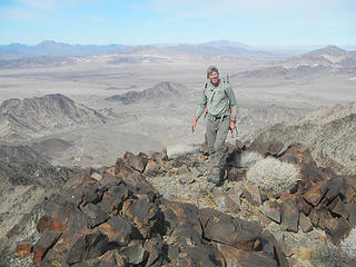 John Stolk 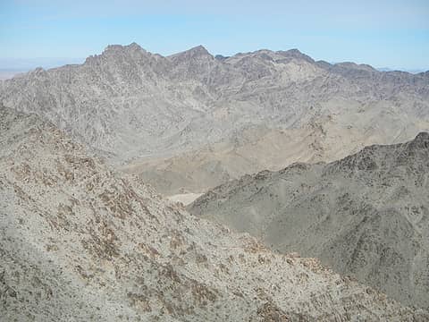 Big Maria 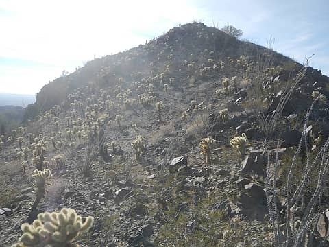 cholla 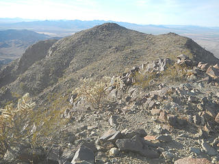 the other summit 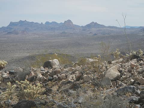 Twin Peaks
|
| Back to top |
  
|
|
puzzlr
Mid Fork Rocks

Joined: 13 Feb 2007
Posts: 7220 | TRs | Pics
Location: Stuck in the middle |
|
puzzlr
Mid Fork Rocks
|
 Sat Mar 10, 2018 12:00 am |
|
|
Very impressive, like all of your reports. I'm surprised you find time to write it all up! It's good to see you connecting with the peakbaggers down there.
I had to look up DPS List up. It's interesting that the list changes quite a bit over the years. When a new peak is added do a lot of previous finishers rush out to tag it?
| Quote: | | The Desert Peaks Section Peaks List consists of peaks compiled by the Desert Peaks Section of the Angeles Chapter of the Sierra Club in order to promote interest in the scenic desert ranges of the Southwest. The DPS is the oldest peak climbing section of the Sierra Club, formed by Chester Versteeg informally in 1941, and later officially in 1945. The original 1941 list contained seven peaks and remained unchanged until 1947. The list has since grown over the years until reaching its current state of 99 peaks, the latest addition being Muddy Peak in 2003. Of the 99 current peaks, two thirds are located in the deserts of California, with the rest located across Nevada, Arizona, southern Utah, and northwestern Mexico. |
I've only got 97 to go 
|
| Back to top |
|
|
Gimpilator
infinity/21M
Joined: 12 Oct 2006
Posts: 1684 | TRs | Pics
Location: Edmonds, WA |
Thanks Monty! As all the Sierra Club lists that I'm aware of, the DPS is slowly growing over time. Some peaks get temporarily suspended from the list when there are access issues, but for the most part nothing gets removed. It would be nice to see the list reach 100 in my opinion. I would vote to add either Travelers Peak or The Sentinel. Thanks for including the link and quote to my list page on SP as well.
|
| Back to top |
|
|
|
|
You cannot post new topics in this forum
You cannot reply to topics in this forum
You cannot edit your posts in this forum
You cannot delete your posts in this forum
You cannot vote in polls in this forum
|
Disclosure: As an Amazon Associate NWHikers.net earns from qualifying purchases when you use our link(s). |


