| Previous :: Next Topic |
| Author |
Message |
Gimpilator
infinity/21M


Joined: 12 Oct 2006
Posts: 1684 | TRs | Pics
Location: Edmonds, WA |
La Madre Mountain February 9
The three mountains which gain the most attention from visitors to Red Rock Canyon are Wilson, Rainbow, and Bridge. Those 3 are the colorful ones that jut out from the surrounding sandstone wall. But a group of higher peaks looms to the north. The La Madre group features huge limestone cliffs along its southern face. If these peaks werent eclipsed by the more colorful sandstone peaks, they might attract more attention.
 fossils 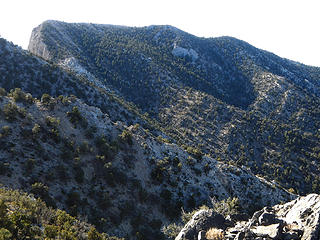 El Padre 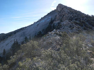 up this ridge 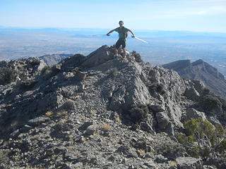 La Madre summit 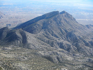 Damsel Peak 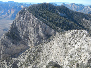 Ridge to El Padre 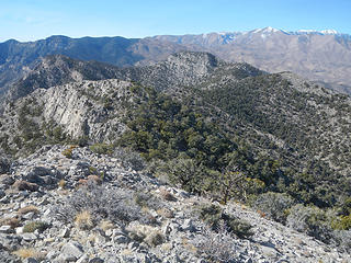 Bastardo from Padre 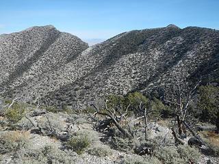 Madre and Padre from Bastardo 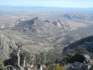 Turtle Head group 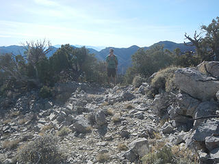 Bastardo summit 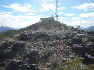 Tortoise Shell summit 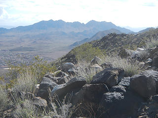 Railroad Range 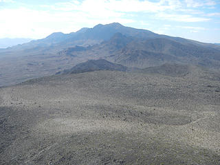 Black with Fortress in front 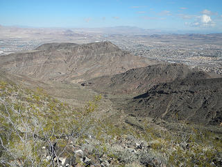 Henderson Benchmark 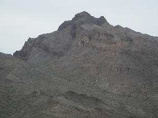 Peak 3054 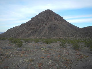 Hamblin Butte 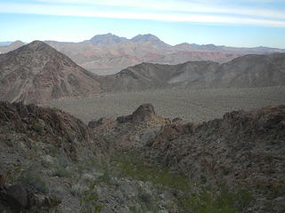 the pass we came over and Muddy Mountains in the distance 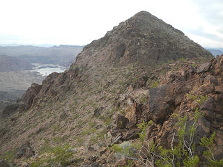 Hamblin Mountain West Peak summit 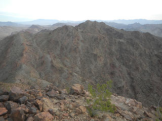 Hamblin Mountain main peak 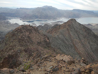 Auxiliary Point far below 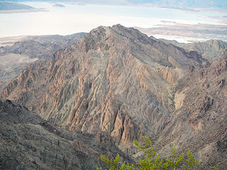 Peak 2867 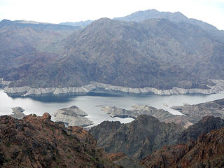 remote narrow section of Lake Meade 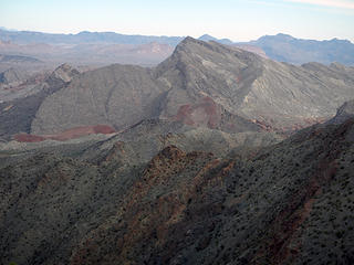 Northshore Peak 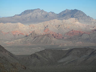 Muddy Mountains 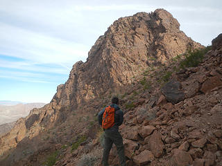 below the cliffs  dryfall 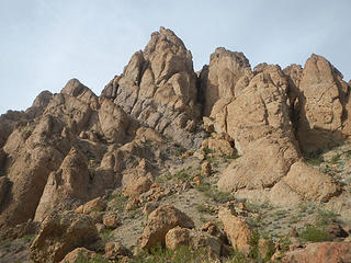 formations on Peak 2867 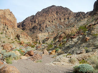 colorful 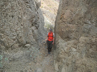 secondary canyon 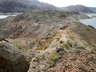 Auxiliary Point ahead 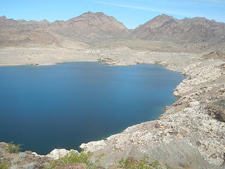 Hamblin Bay and the canyon we came down 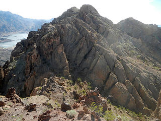 summit from false summit 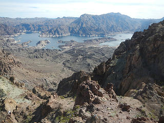 Auxiliary Point with Arch Mountain on the other side 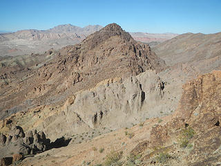 Peak 3054 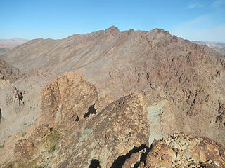 Hamblin West Peak 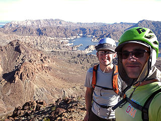 summit 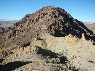 Peak 3054 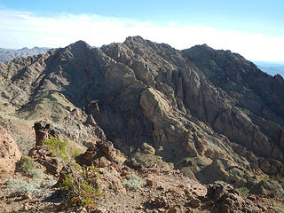 looking back at Peak 2867 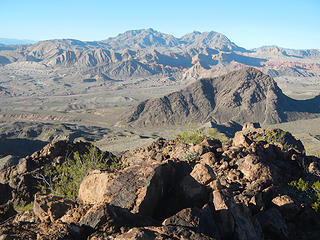 Muddies and Hamblin Butte 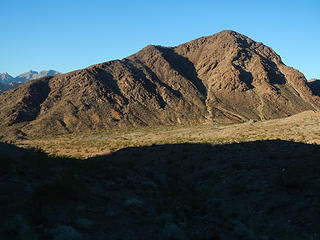 last one 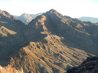 Peak 3054 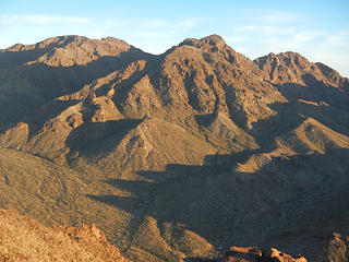 Hamblin Mountain and west peak 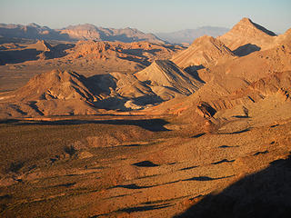 rewarding light
|
| Back to top |
  
|
|
RichP
Member

Joined: 13 Jul 2006
Posts: 5634 | TRs | Pics
Location: here |
|
RichP
Member
|
 Sat Feb 24, 2018 8:18 am |
|
|
There are enough peaks to keep you guys busy for a couple of lifetimes down there.
|
| Back to top |
|
|
Brushbuffalo
Member

Joined: 17 Sep 2015
Posts: 1887 | TRs | Pics
Location: there earlier, here now, somewhere later... Bellingham in between |
More nice desert adventures!
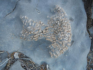
These look like belemnite fragments ( this not-a-paleontogist geologist thinks), and the rock appears to be a fine-grained limestone.
| Gimpilator wrote: | fossils |
Passing rocks and trees like they were standing still
Passing rocks and trees like they were standing still
|
| Back to top |
|
|
Gimpilator
infinity/21M
Joined: 12 Oct 2006
Posts: 1684 | TRs | Pics
Location: Edmonds, WA |
| RichP wrote: | | There are enough peaks to keep you guys busy for a couple of lifetimes down there. |
Absolutely right Rich. But it's hard to commit to one area when there are so many good places in this country.
| Brushbuffalo wrote: | | These look like belemnite fragments |
Thanks for that identification Doug. Did you see the fossils in my most recent report? One of them looks just like brain coral to me.
|
| Back to top |
|
|
|
|
You cannot post new topics in this forum
You cannot reply to topics in this forum
You cannot edit your posts in this forum
You cannot delete your posts in this forum
You cannot vote in polls in this forum
|
Disclosure: As an Amazon Associate NWHikers.net earns from qualifying purchases when you use our link(s). |


