Joe
Member

Joined: 29 Jun 2002
Posts: 819 | TRs | Pics
Location: Kent |
|
Joe
Member
|
 Thu Apr 05, 2018 4:08 pm |
|
|
We camped 5 nights at Pinnacles Campground on the east side of the park. There is limited parking at the east side trailheads, the park service runs a shuttle service from the Pinnacles Visitor Center to the Bear Gulch day use area
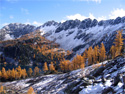
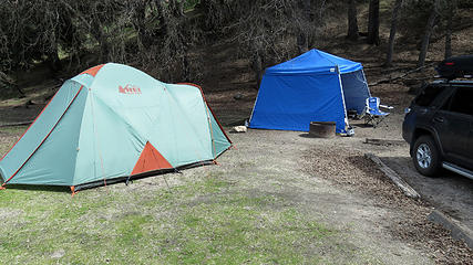 Our campsite at Pinnacles Campground 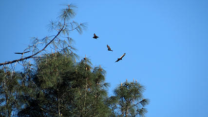 Turkey Vultures soaring over campground 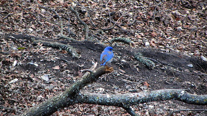 Western Bluebird 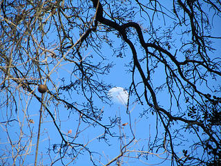 moon through the trees 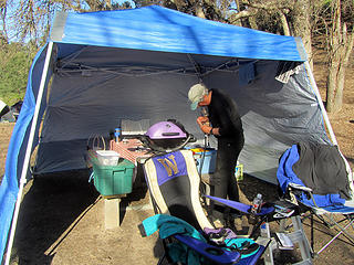 Getting ready for dinner  rabbit 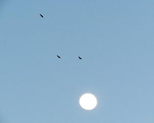 soaring Turkey Vultures 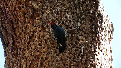 woodpecker 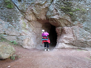 barb checking out tunnel 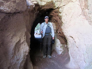 Tunnel on trail 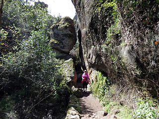 Barb on trail 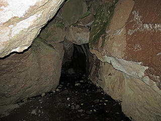 Bear Gulch Cave 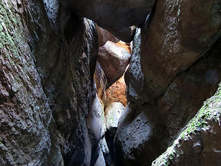 Bear Gulch Cave 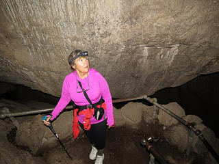 barb in cave 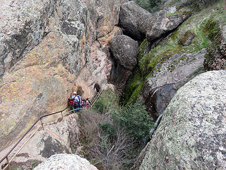 Stone steps out of the cave 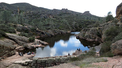 Bear Gulch Reservoir 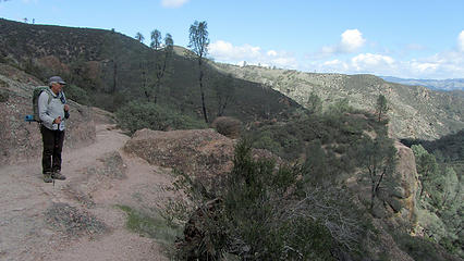 enjoying the views 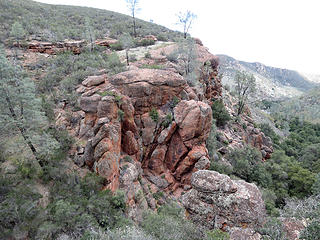 views on rim trail 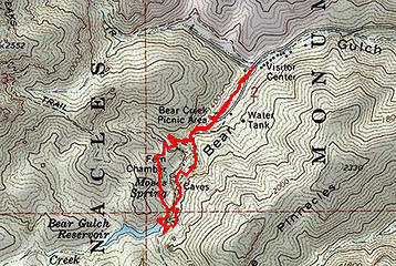 Bear-Gulch-Cave-route 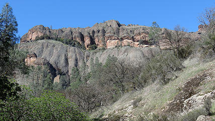 Balconies 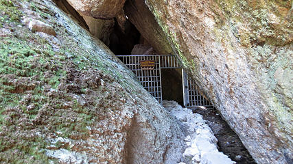 Entrance to caves 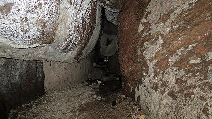 Balcony Caves 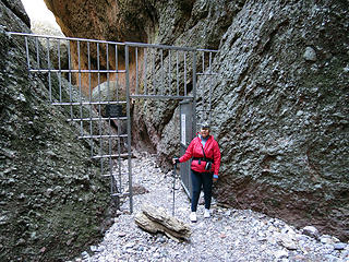 exit of the caves 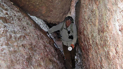 tight squeeze 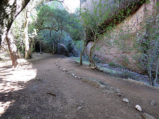 out of the caves 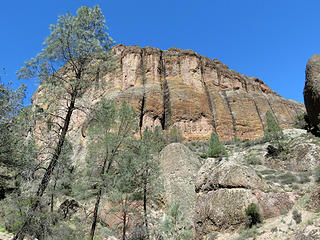 Balconies 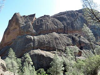 Machete Ridge 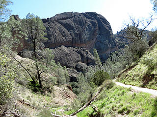 views on the trail 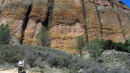 below the Balconies 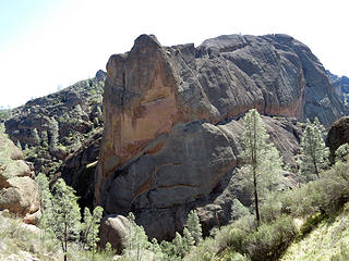 Machete Ridge 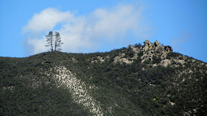 two trees on ridge 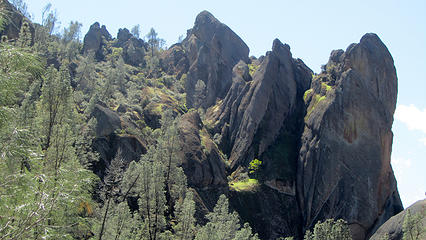 Machete Ridge 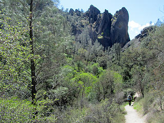 views on the trail 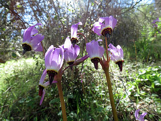 some type of shooting star 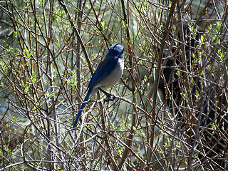 Scrub Jay 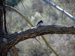 woodpecker 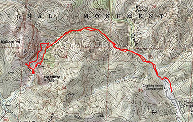 Balcony-Cave-route 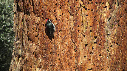 woodpecker 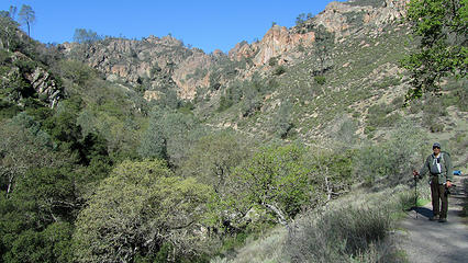 hiking Condor Gulch trail  first California Condor sighting 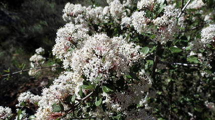 flowering bush 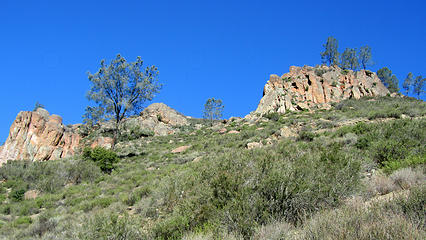 Condor Gulch views 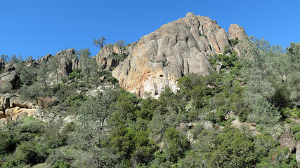 Condor Gulch views 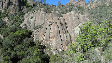 Condor Gulch views 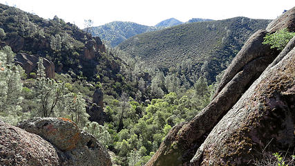 Condor Gulch views 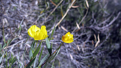 Flower 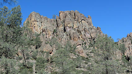 Condor Gulch views 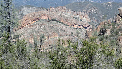 Balconeis 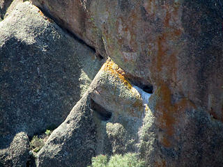 somebodies home 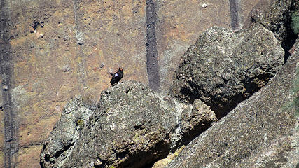 zoomed shot of California Condor 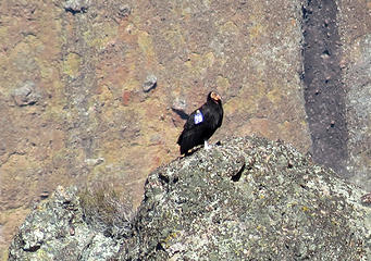 close up of California condor 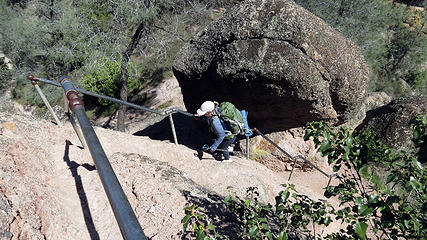 barb on first set of stone steps 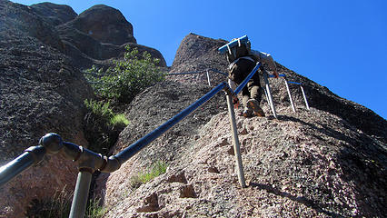 Steep stone steps 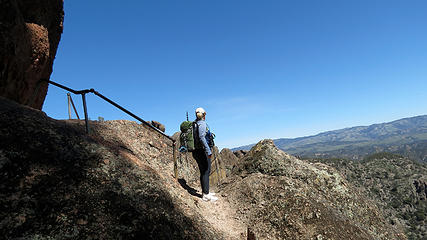 Are we done with the stairs 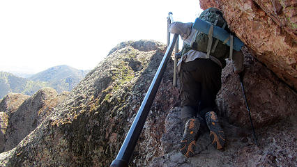 Tight fit 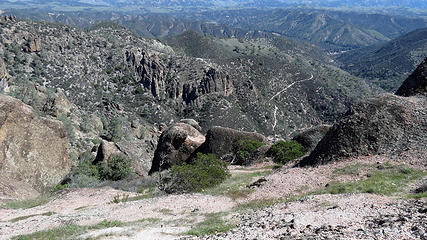 Views toward Condor Gulch trail 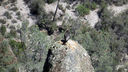 California Condor 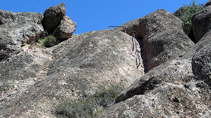 Last of the stone stairs 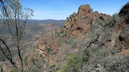 views on High Peaks trail 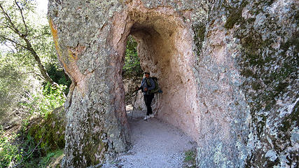 Barb in tunnel 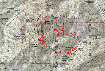 Condor-Gulch-High-Peaks-loop-route 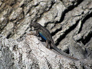 lizard 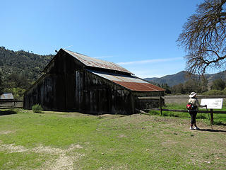 Bacon Ranch 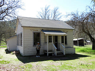 Bacon Ranch house 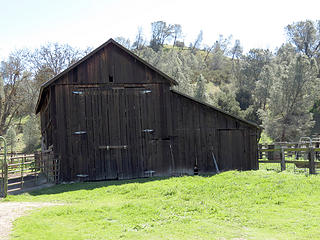 Bacon Ranch 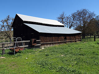 Butterfield homestead 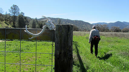 leaving Butterfield homestead 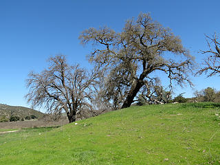 oak trees 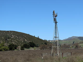 Butterfield homestead 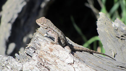 lizard  Bacon-Ranch-Butterfield-Homestead-route
|


