| Previous :: Next Topic |
| Author |
Message |
meck
Member


Joined: 31 Dec 2010
Posts: 920 | TRs | Pics
|
|
meck
Member
|
 Thu May 31, 2018 10:44 pm |
|
|
Prospect Ridge is accessed via an old Forest Service Road (FSR) hike in the Skokomish River/Lake Cushman area. I'm posting this TR as a bit of an experiment (after having discussed with a couple of others): I really appreciated the solitude along here after spending all week w/ people, but this route could probably use just a bit more human-traffic to maintain it as something that can still be hiked (its filling in w/ "challenging" vegetation fast).
I hiked up the decommissioned FSR under good weather, but a low'ish cloud ceiling. Its a ~12.6 mile round trip from where you can park your vehicle. There are no water sources beyond the first 1.5 miles. Ranger Rock posted a very good TR from here a few years ago; it's description of the road conditions is completely accurate, alder & scotch broom hell included. The road is very good in places, and pretty horrible in others. The "decommissioned" sections have had the road bed graded sideways to the point that it feels like side-hilling (lots of small rocks to roll your foot on and twist your ankles). Whatever material was brought in to cover the decommed road bed must have contained a mixture of alder (at this point still easy to push through), and invasive scotch broom, which has now grown into near impassable thickets (pretty much the exact opposite of letting the local vegetation re-wild the road), and is home to ticks. I noticed that the scotch broom also seems to exude some sort of sap while blooming, which all of my exterior clothing and pack successfully collected (sticky!).
The lower creek crossings are somewhat challenging due to the deep gullies left behind by the culvert removal and may be impassible without ropes, or creative placement of blowdown, in a few years (currently have to almost-scramble up rock faces to get up to the uphill side of the road bed in two of the gullies).
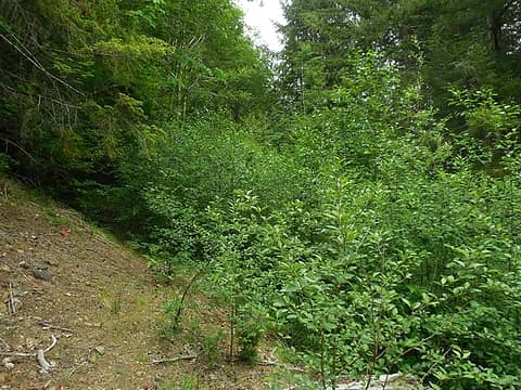 hope you like this view, there's a decent amount of this you have to push through... and the ticks are awaiting your arrival! 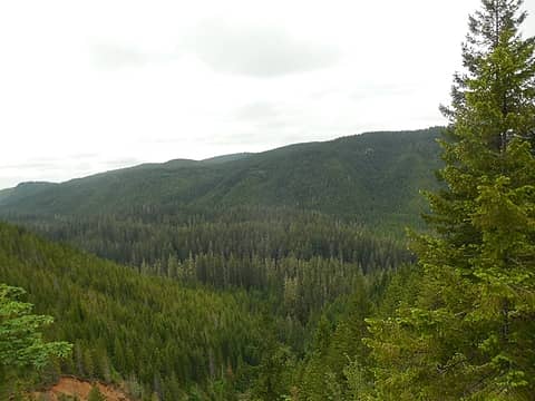 first views south across the Brown Creek drainage 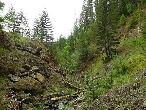 a nice, if narrow path out on the left, this one should hold up for a while... 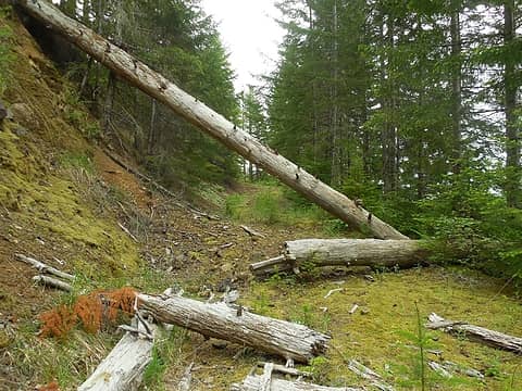 a nice section of the old road 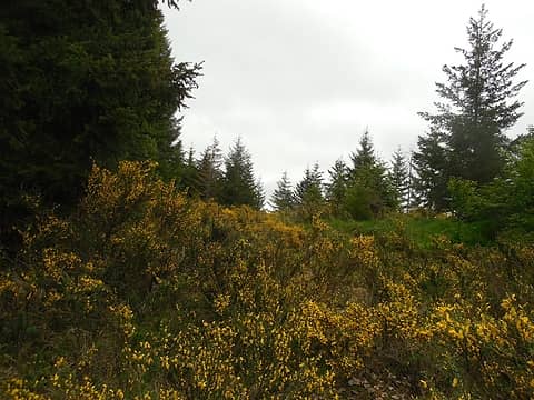 and so it begins.... 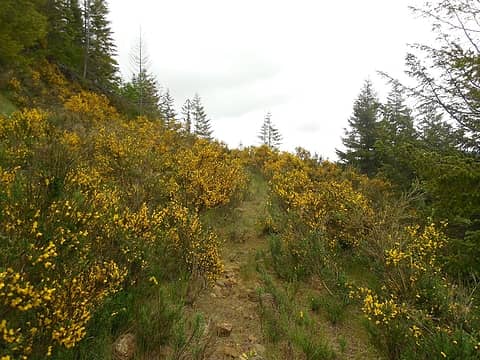 someone has made a few small paths in a couple of the scotch broom sections 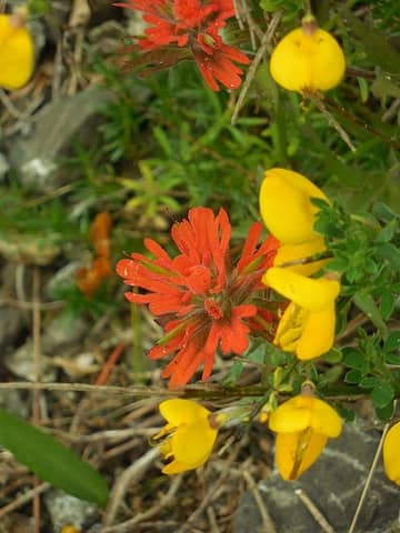 just look at those vibrant colors... 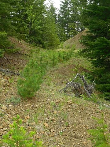 you can tell where the center of the road was (less packed dirt....) 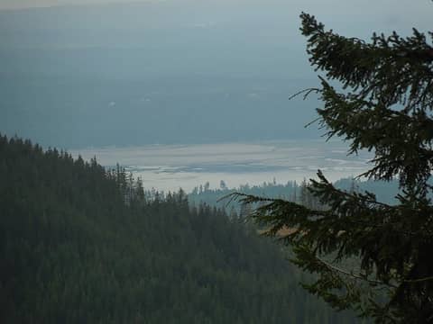 the southern elbow of the Hood Canal 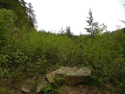 many sections of the road looked like this... somewhat easy to push through now.... but give it a few years 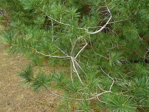 nice assortment of pines to look at up here 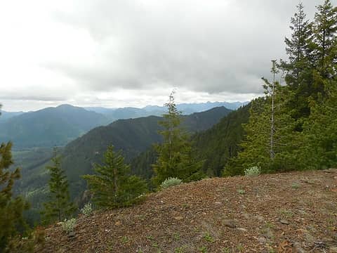 1 label "Lebar Ridge" w/ Skokomish river drainage beyond 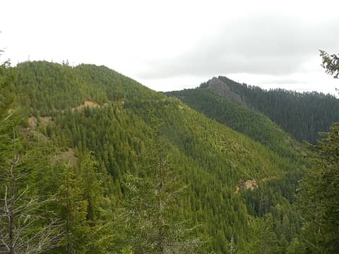 1 label the road along the ridge that I passed along 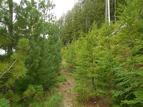 a pine lined promenade 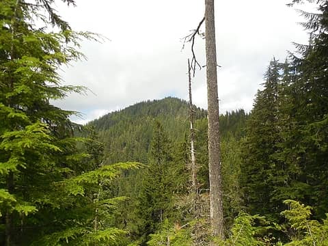 the wooded summit now in view 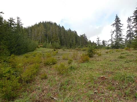 nearing the end of the old road 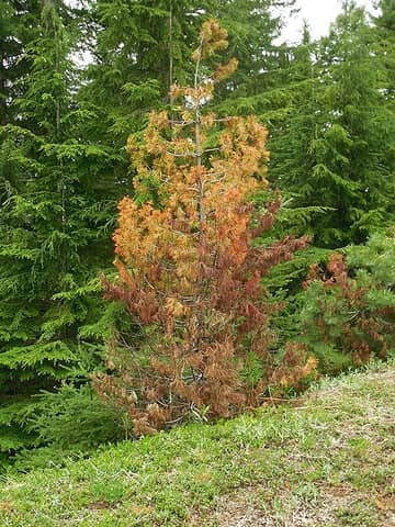 interesting reds on a dying pine 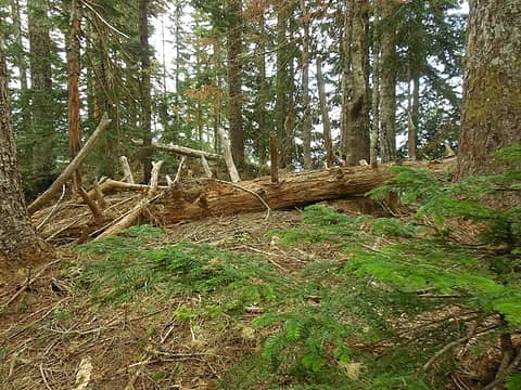 open'ish woods along the summit  the summit rock block 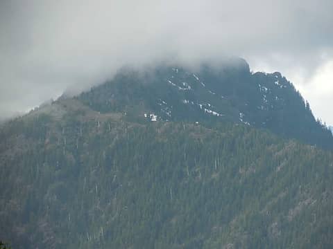 Lightning Peak (I think) with its head in the clouds 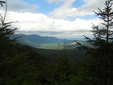 view NE across Lake Cushman valley from one of several short spur roads branching off the main ridge road. 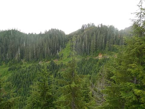 the road back down
*Just say NO to Rent-Seeking, don't give up the concept of "ownership"*
*Just say NO to Rent-Seeking, don't give up the concept of "ownership"*
|
| Back to top |
  
|
|
|
|
You cannot post new topics in this forum
You cannot reply to topics in this forum
You cannot edit your posts in this forum
You cannot delete your posts in this forum
You cannot vote in polls in this forum
|
Disclosure: As an Amazon Associate NWHikers.net earns from qualifying purchases when you use our link(s). |


