| Previous :: Next Topic |
| Author |
Message |
cartman
Member


Joined: 20 Feb 2007
Posts: 2800 | TRs | Pics
Location: Fremont |
|
cartman
Member
|
 Sat Jul 14, 2018 10:33 am |
|
|
This is an area I've been wanting to see for a loooong time. Eusebio, a California transplant now living near Portland, had never been to the Cascades before. I wouldn't normally have suggested this trip for a first trip up here, but I had already planned it out for someone else who hadn't been able to make it, so I threw it out there and he was game to give it a go.
Painters Thumb may be the most obscure peak with prominence between Hwy 2 and I-90. Essentially no one goes there unless they're pursuing the Back Court list. To my surprise, when we reached the top I realized it has some of the best views of ANY peak between the highways east of Daniel due to where it is positioned.
This area also has some of the most sustained clouds of mosquitos I've ever experienced. These Anopheles wannabes have plenty of standing water for breeding around the two Big Jim Mtn Lakes, and they take every advantage of it. We didn't see or hear a single mammal larger than a marmot on the entire trip--if the burn doesn't keep them away, the skeeters surely do.
Day 1: Approach to camp at Lower Big Jim Mtn Lake
We parked at the usual trailhead for Big Jim and began hiking the trail, which quickly became overgrown with soft green brush. This trail needs a serious brushing out for the first 700' of gain. After that it's not brushy, but higher enters the burn from a few years ago.
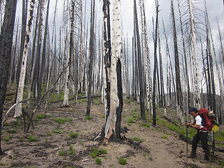 Eusebio and burn 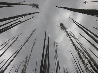 All is gray 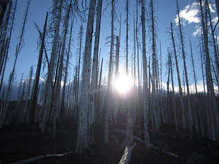 Cold light 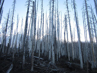 Stark 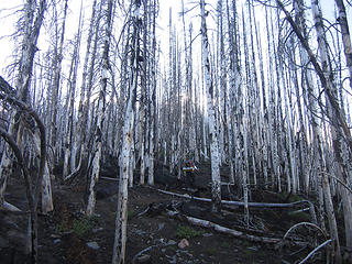 Continuing thru the burn 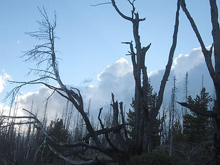 Gnarled 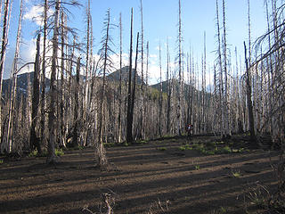 Ash and light 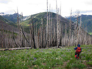 Painters Thumb 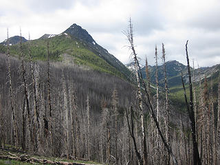 Big Jim 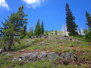 Painters Thumb flower slope 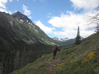 Continuing on, Painter Creek valley 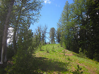 Green corridor 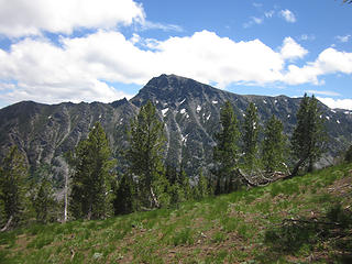 Big Jim 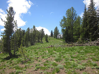 On the broad ridge 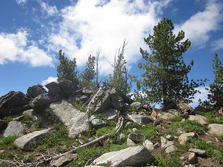 The jumbled summit 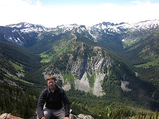 Painters Thumb summit 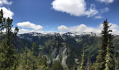 The Chiwaukums* 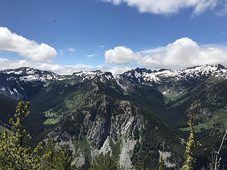 Chiwaukums and valleys* 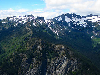 Cape Horn and Ladies Peak 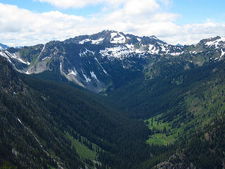 Grindstone? 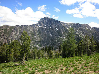 Big Jim 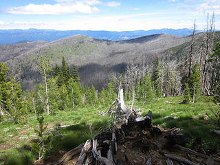 Descending, the Badlands in the distance 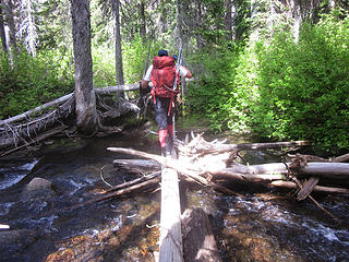 Crossing Painters Creek 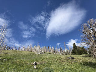 Ascending in the Badlands* 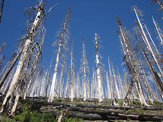 Ghost forest 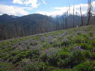 Lupine and Painters Thumb 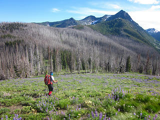 Descending the Badlands, and Big Jim 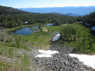 Upper Big Jim Mtn Lake 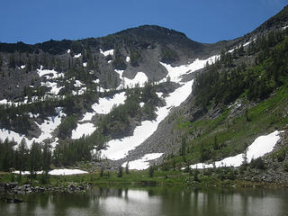 Ascent route 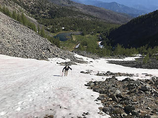 Booting up* 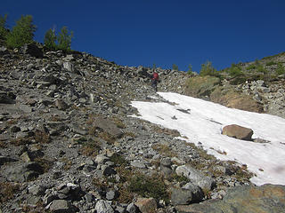 And up we go 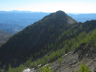 Light on larches 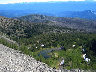 Big Jim Mtn Lake and the Badlands 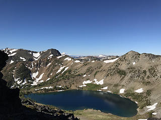 Lake Augusta* 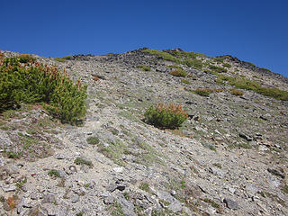 On the ridge 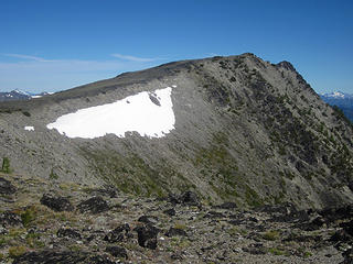 Big Jim's South Ridge 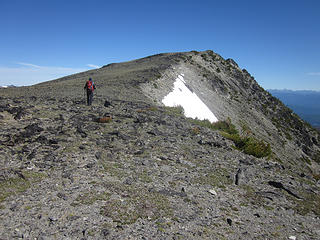 Eusebio and Big Jim 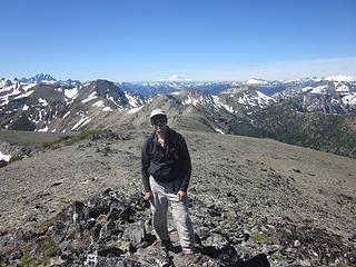 Big Jim summit 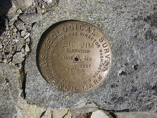 Big Jim bench mark 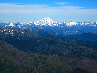 Glacier Peak and Dakobeds 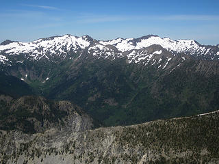 Snowgrass, Big Chiwaukum, Opportunity 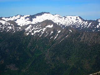 Big Chiwaukum, Opportunity in the foreground 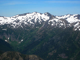 Snowgrass 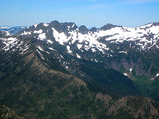 Ladies Peak 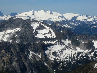 Daniel and Hinman 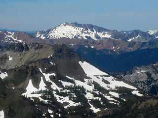 The Cradle 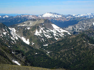 Frigid and The Cradle 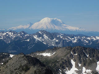 Rainier 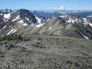 Ridge to Big Lou 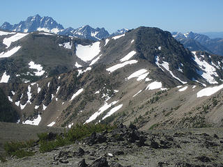 Stuart and Big Lou 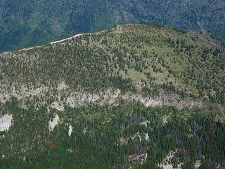 Painters Thumb 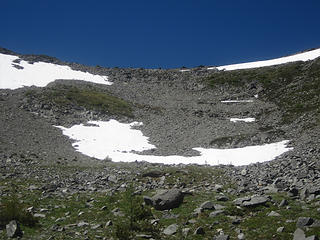 Descent route  Big Jim Mtn Lake 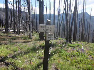 Junction
|
| Back to top |
  
|
|
ragman and rodman
Member

Joined: 28 Apr 2005
Posts: 1219 | TRs | Pics
Location: http://rgervin.com/ |
| cartman wrote: | | Back Court: 95 down, 5 to go. |
Way to work the list... I've done 84 and plan to do two more next week... just curious what your final 5 are?
|
| Back to top |
|
|
cartman
Member
Joined: 20 Feb 2007
Posts: 2800 | TRs | Pics
Location: Fremont |
|
cartman
Member
|
Sat Jul 14, 2018 4:40 pm |
|
|
Cradle and Nursery, Jack Ridge, Swallow Tail and the most difficult, Edward aka The Mole. Need to find someone who can lead 5.7 for that one. And who doesn't mind the schwack.
|
| Back to top |
|
|
Brushbuffalo
Member

Joined: 17 Sep 2015
Posts: 1887 | TRs | Pics
Location: there earlier, here now, somewhere later... Bellingham in between |
Right you are, Eric, I hadn't heard of Painter's Thumb. But I don't claim to have knowledge of much south of SR20.
What is a common comment on almost every TR lately?
Skeeters!
| cartman wrote: | | once we began the descent around 2pm, the bugs disappeared and were not to be seen for most of the afternoon. |
They probably couldn't get airborne, being full of your blood.
Passing rocks and trees like they were standing still
Passing rocks and trees like they were standing still
|
| Back to top |
|
|
Justus S.
Member
Joined: 17 Nov 2004
Posts: 1298 | TRs | Pics
Location: WA |
Those are some nice views from Painters. Nice job getting that many BC peaks, looks like you have some nice peaks left.
|
| Back to top |
|
|
cascadetraverser
Member

Joined: 16 Sep 2007
Posts: 1407 | TRs | Pics
|
Very cool trip to a remote portion of a popular area. Nice to bring a newbie along too.
|
| Back to top |
|
|
|
|
You cannot post new topics in this forum
You cannot reply to topics in this forum
You cannot edit your posts in this forum
You cannot delete your posts in this forum
You cannot vote in polls in this forum
|
Disclosure: As an Amazon Associate NWHikers.net earns from qualifying purchases when you use our link(s). |


