| Previous :: Next Topic |
| Author |
Message |
williswall
poser


Joined: 30 Sep 2007
Posts: 1966 | TRs | Pics
Location: Redmond |
I'm on vacation awaiting my daughter's arrival for some hiking (her vacation) so I used this opportunity to knock off some to-do's in Mt. Rainier National Park. Base camping out of my pseudo RV, I checked in to the White River campground on Sunday night (Aug 19th) and paid for 4 nights. The outlook was poor as I looked up the White River and could barely make out Rainier because of the smoke. I'd just have to see how it went on Monday, so I wandered around Sunday evening taking some pix and hiking up the Glacier Basin trail for a bit.
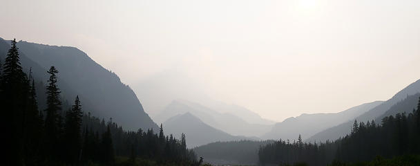 Smoke on Aug 19, White River 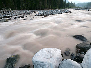 White River high flow in the PM 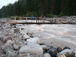 3 people crossing White River 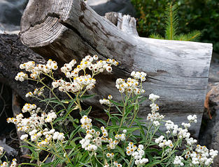 Blooms on White River 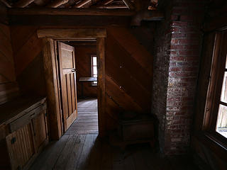 Inside the White River cabin 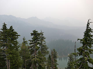 Above Clover Lake, what I have to look forward to 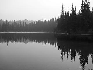 Clover Lake 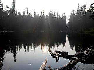 Hazy sun over Dick's Lake 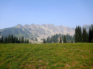 The Palisades, to be visited later 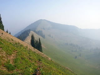 Looking towards Slide from Brown 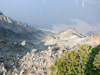 The "slide" of Slide Mtn 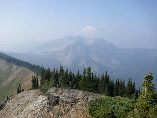 The Palisades and Rainier from Slide 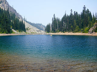 Floaters on Upper Palisades Lake 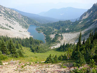 Hidden Lake from the Green Park saddle 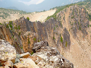 View from The Palisades 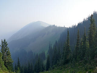 The ridge to Slide Mountain 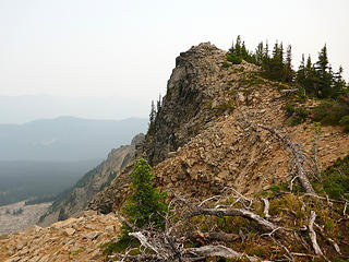 Final bit to the summit of The Palisades 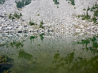 Hidden Lake reflections 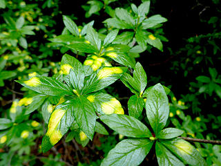 Hint of Fall 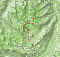 Palisades map 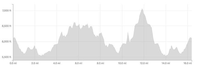 Brown:Slide:Palisades elev profile 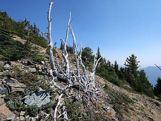 Approaching summit of Dege 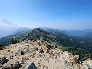 Antler in view for next destination 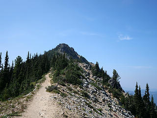 Antler Peak east ridge in sight 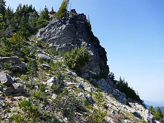 East ridge of Antler 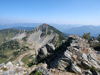 Looking back at Dege from Antler summit 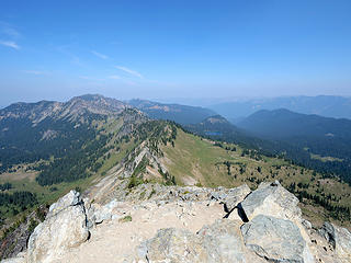 Looking towards The Palisades and Slide from Dege 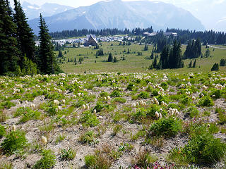 Beargrass from Sourdough Ridge trail 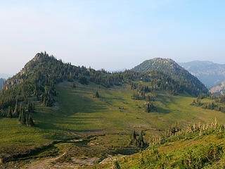 McNeeley Peak, right 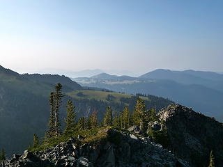 Grand Park from McNeeley Peak 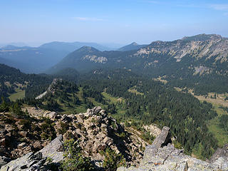 Huckleberry Basin from McNeeley Peak 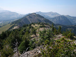 McNeeley in view, right middle screen 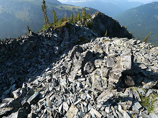 McNeeley summit rocks 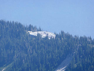 Sunrise Point from Dege 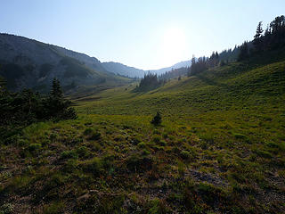 Transiting meadow to regain Huckleberry Creek trail 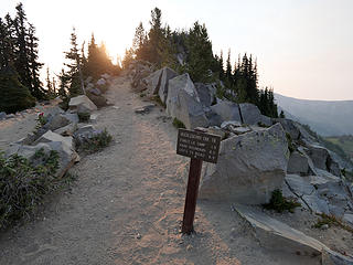 Waning light on the return 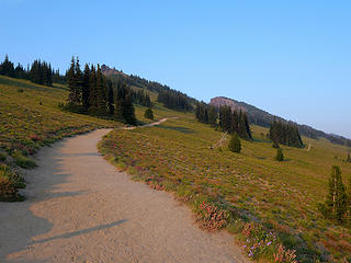 Well worn trails 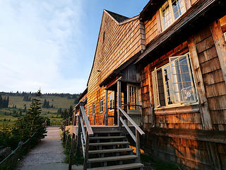 Sunrise snackbar, just in time for coffee 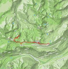 Dege:Antler:McNeeley map 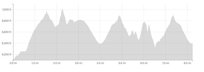 Dege:Antler:McNeeley elev profile 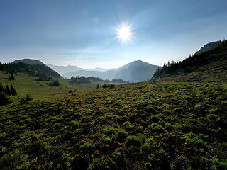 Morning on the upper Huckleberry Creek trail 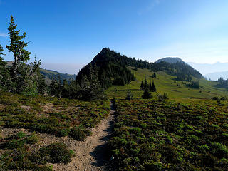 Before the drop on Huckleberry Creek trail 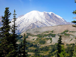 Clearer skies on start of Huckleberry:Grand Park loop 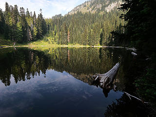 Forest Lake 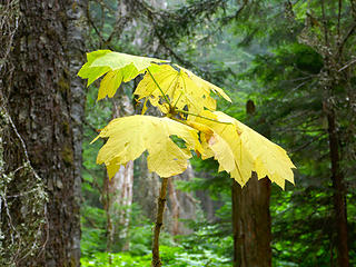 Let the transition begin 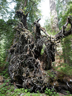 Home of the one eyed raven 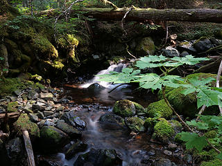 Creekage 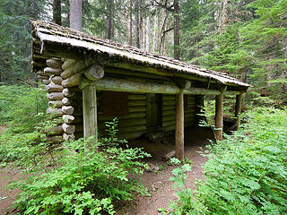 Unused patrol cabin on Huckleberry Creek trail boundary 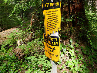 Leaving National Park land 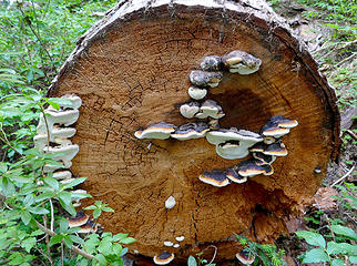 Polypore colony on Huckleberry Creek trail 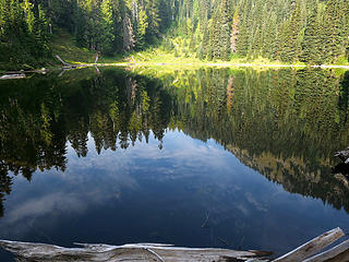 Skies reflected in Forest Lake 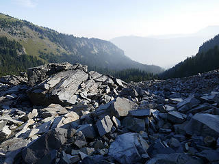 Smoke in the lower valleys dropping into Huckleberry Creek 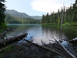 Lake Eleanor 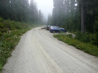 Confirmation I chose wisely 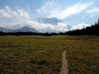 Approaching intersection with the Northern Loop trail 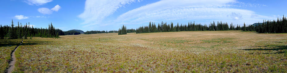 Grand Park pano 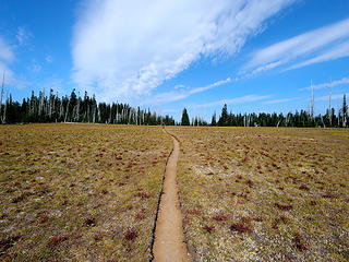 Hikers on the Grand Park trail 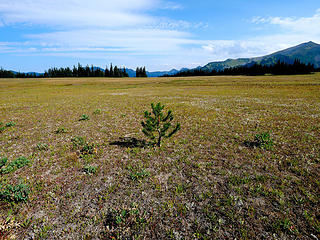 Lone pine 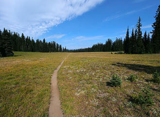 Lower Grand Park 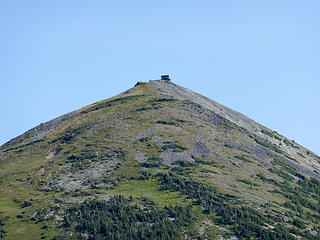 Mt. Fremont lookout from afar 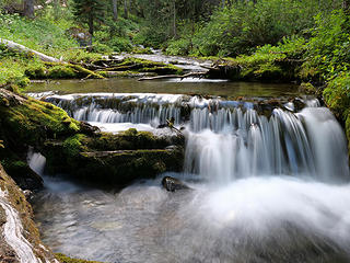 Waterfall below Berkeley Park2 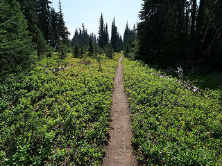 trail after "mini Grand Park" 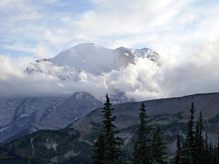 The weather is a changin' 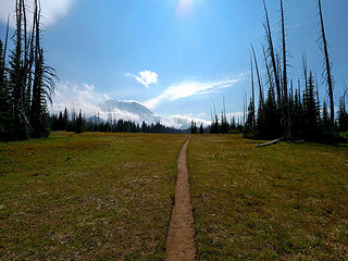 The grandness of Grand Park 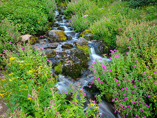 Still abloom! 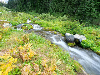 End of season in Berkeley Park 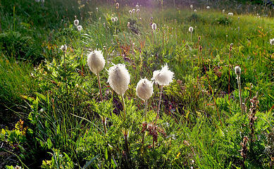 Backlit beargrass 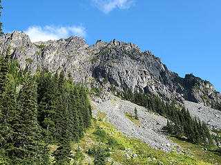 Formations on Berkeley Park trail 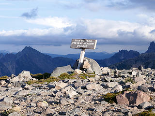 Just 1.5 miles to go 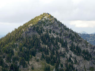 Zoomed in McNeeley Peak 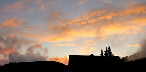 Sunset behind the snackbar 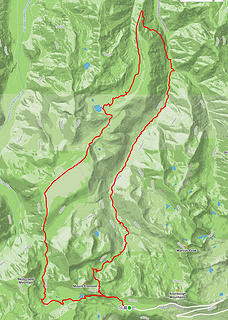 Huckleberry:Grand Park loop map 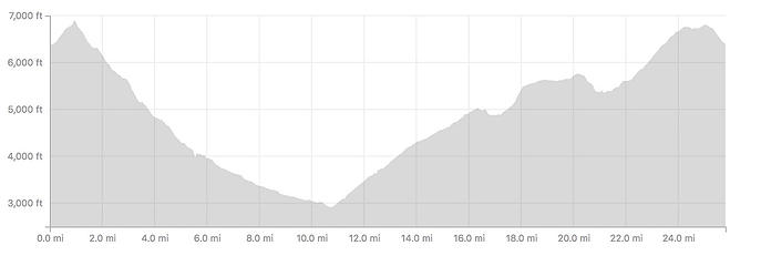 Huckleberry:Grand Park loop elev profile
|
| Back to top |
  
|
|
nordique
Member

Joined: 04 May 2008
Posts: 1086 | TRs | Pics
|
|
nordique
Member
|
 Fri Aug 24, 2018 9:46 pm |
|
|
Great report! But that's Western Pasque flower NOT beargrass. Dege Peak is one of my favorites, as it's the summit I've most often done on crutches (after seven right leg surgeries and two joint replacements). And, sad to say, I've passed hikers going up and going down Dege Peak while I was on crutches! It's sort of fun to yell on your left when you are passing people on crutches! It was great to revisit Dege Peak, from Sunrise, earlier this year (75 photos in four miles roundtrip):
https://flic.kr/s/aHsmfGR1Ty
|
| Back to top |
|
|
Distel32
Member

Joined: 03 Jun 2014
Posts: 961 | TRs | Pics
Location: Edmonds, WA |
|
Distel32
Member
|
Sat Aug 25, 2018 10:00 pm |
|
|
|
| Back to top |
|
|
|
|
You cannot post new topics in this forum
You cannot reply to topics in this forum
You cannot edit your posts in this forum
You cannot delete your posts in this forum
You cannot vote in polls in this forum
|
Disclosure: As an Amazon Associate NWHikers.net earns from qualifying purchases when you use our link(s). |


