| Previous :: Next Topic |
| Author |
Message |
Gimpilator
infinity/21M


Joined: 12 Oct 2006
Posts: 1684 | TRs | Pics
Location: Edmonds, WA |
White Rock Hills Peak - 6462'
I started this morning at the White Rock trailhead in Red Rock Canyon. I was hoping to combine White Rock Hills Peak with White Rock Spring Peak. These two are usually done separately. I ascended the canyon between the peaks which was brushy and unpleasant. There were some large boulders to maneuver.
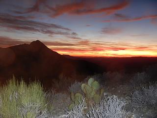
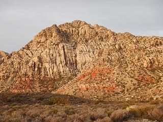 White Rock Hills Peak 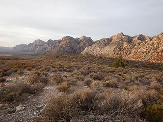 Wilson, Rainbow, Bridge 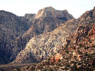 Bridge 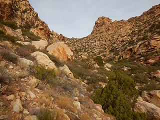 brushy canyon 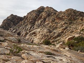 White Rock Hills Peak 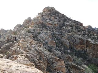 summit is behind 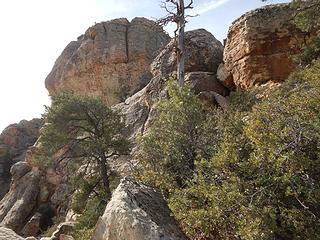 rugged 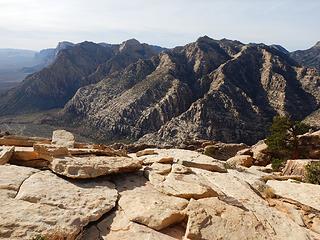 peaks and canyons to the south 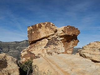 summit boulder 20 feet high, class 3 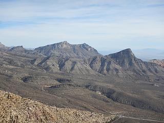 Damsel and Turtlehead 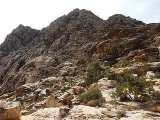 looking back at the summit 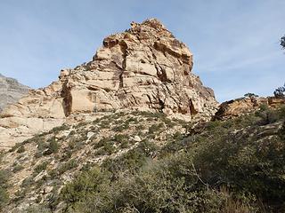 White Rock Spring Peak 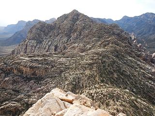 peak #1 seen from peak #2 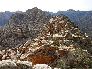 a view of both peaks together 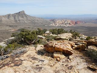 Turtlehead and Calico group 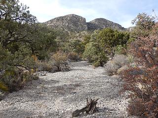 false summit and summit above 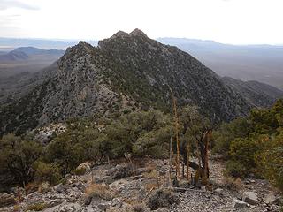 a lesser peak to the southwest, viewed from the false summit 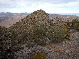 Pa's Rump from false summit 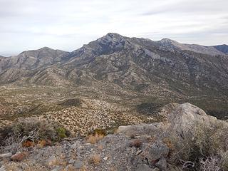 Potosi 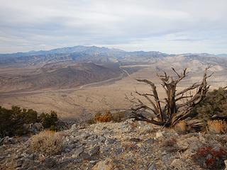 Charleston group 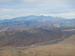 Charleston group zoom 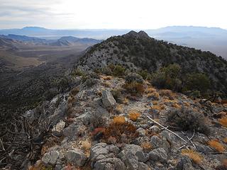 Kingston on the left and Clark on the right 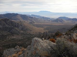 Potosi Spring valley 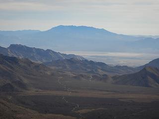 Kingston zoom 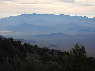 Clark zoom 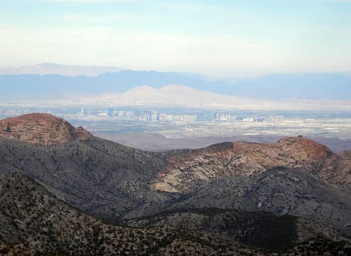 Virgin Mountain background left, Muddy Mountains in shadow, Frenchman Mountain in sunlight, and Vegas Strip foreground 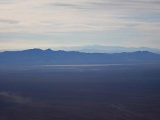 Nopah Range shadowed and Telescope far distant 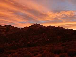 Potosi sunset  With 400 vertical remaining, I knew it was going to be close, so I tried to hurry. I found some great fossils, but it was too dark to see them very well. With 400 vertical remaining, I knew it was going to be close, so I tried to hurry. I found some great fossils, but it was too dark to see them very well.
 flash 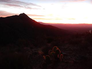 Pa's Rump
|
| Back to top |
  
|
|
awilsondc
Member

Joined: 03 Apr 2016
Posts: 1324 | TRs | Pics
|
|
| Back to top |
|
|
|
|
You cannot post new topics in this forum
You cannot reply to topics in this forum
You cannot edit your posts in this forum
You cannot delete your posts in this forum
You cannot vote in polls in this forum
|
Disclosure: As an Amazon Associate NWHikers.net earns from qualifying purchases when you use our link(s). |


