| Previous :: Next Topic |
| Author |
Message |
Gimpilator
infinity/21M


Joined: 12 Oct 2006
Posts: 1684 | TRs | Pics
Location: Edmonds, WA |
I set out on a 9 day solo trip, with grandiose plans for working through the Blacks, Funerals, Grapevines and ending in the Cottonwoods. It was cut 3 days short by a change in the weather. Success in peakbagging requires some fluidity.
Jan 27
Noon Benchmark - 4239
I stopped on the drive to Death Valley National Park to pick up a southern peak of the Nopah Range. Good dirt roads provide near-proximity trailhead parking. Short hike up the south slope and the southeast ridge.
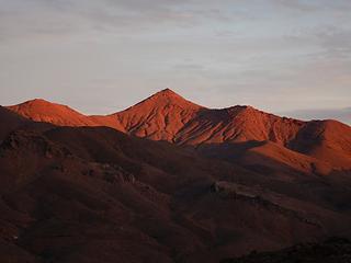
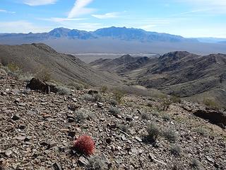 Kingston 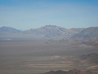 Pahrump Point 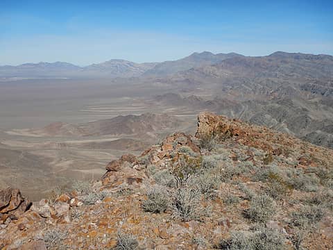 Nopahs 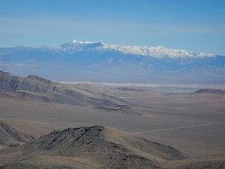 Charleston 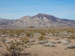 Epaulet 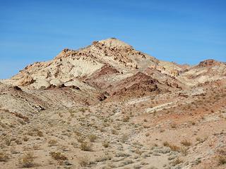 Salsberry 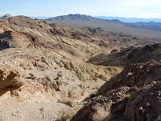 Ibex 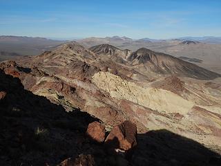 Brown 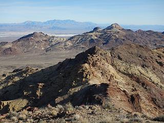 Sheephead 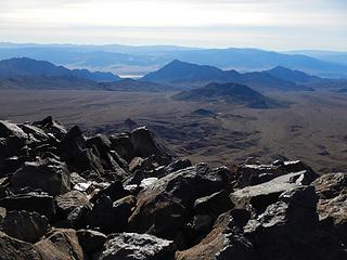 Longridge and Jubilee 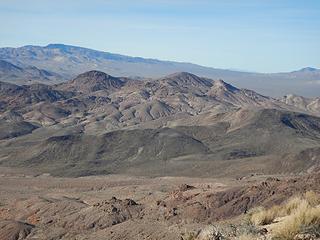 Funeral, Calico, Ryan 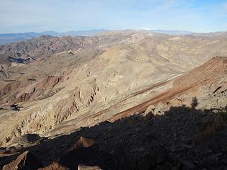 Desert Hound, Smith, Telescope 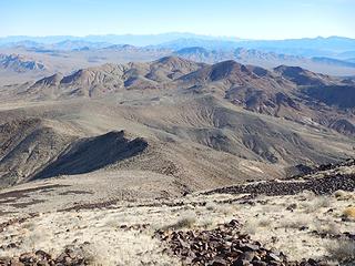 Calico 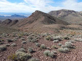 southwest peak and Epaulet 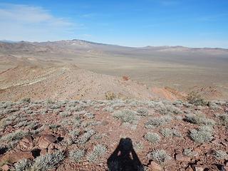 Greenwater Valley 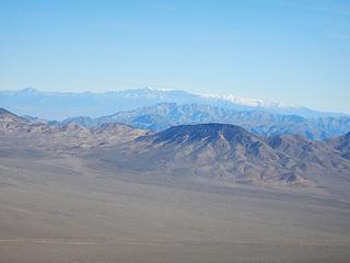 Charleston 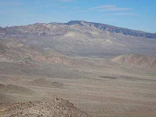 Funeral 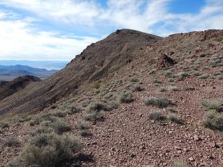 SW peak 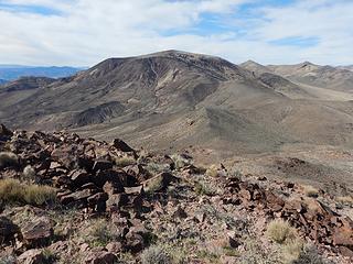 Epaulet  Stealth Bomber 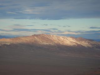 Dantes to Perry 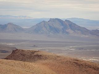 Bat 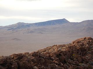 Funeral 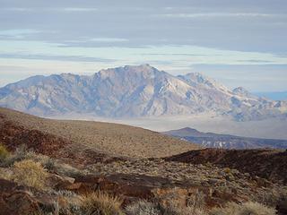 Pyramid 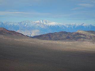 Telescope 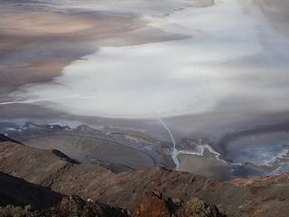 Badwater 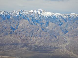 Telescope 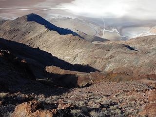 Bad Canyon 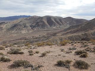 Coffin peaks 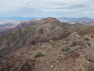 Coffin 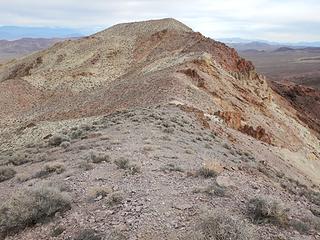 Coffin 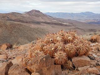 Dantes 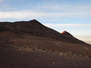 DVB 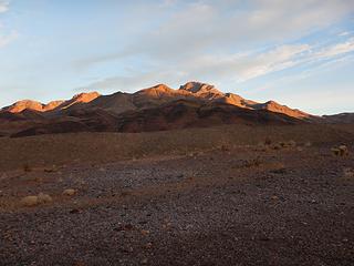 Corkscrew 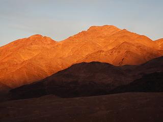 Cork 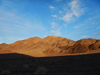 Cork 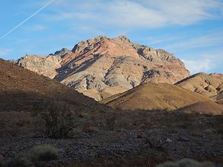 Peak 4800 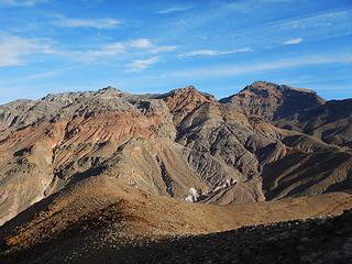 Old Snifter, 4800, Corkscrew 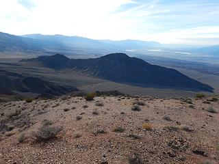 DVB 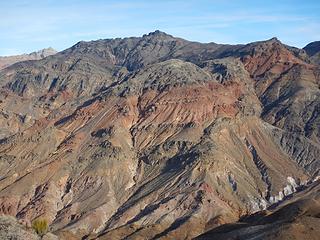 Old Snifter and Point 4800 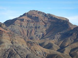 Corkscrew 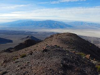 Panamints 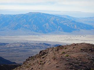 Tucki 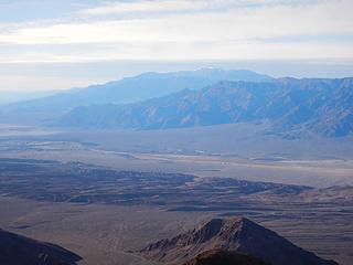 Telescope 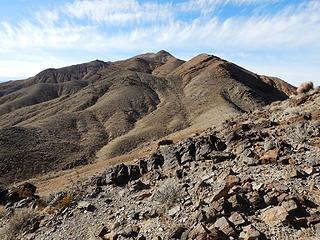 Cork 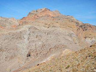 Point 4800 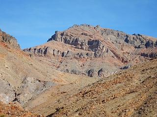 Corkscrew 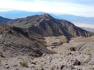 Cork 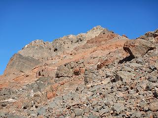 ridge above 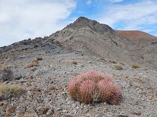 Old Snifter 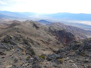 4800, DVB, Cork 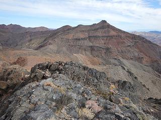 Corkscrew 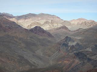 Titanothere Canyon 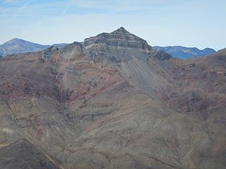 Thimble 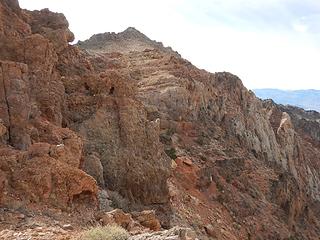 looking back at Old Snifter  dryfall
|
| Back to top |
  
|
|
Gimpilator
infinity/21M
Joined: 12 Oct 2006
Posts: 1684 | TRs | Pics
Location: Edmonds, WA |
1-31
Peak 4403
It suddenly came to mind that with another 6 peaks, it would make 60 for the month, a good start on 2019, even with 14 non-hiking days. Sure, why not? I prepared myself mentally for another long day and no time for dillydallying. Most of the nearby peaks were over a thousand feet of gain each.
Started in the northwest canyon off chloride City road, and then up a north ridge to the summit.
 Daylight Peak 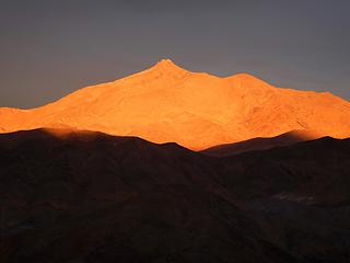 Corkscrew 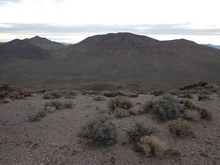 Peak 5000 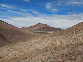 BM 93 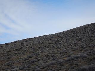 Coyote 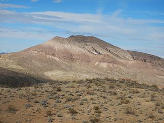 Prospect 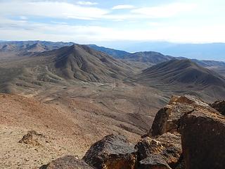 previous 4 peaks 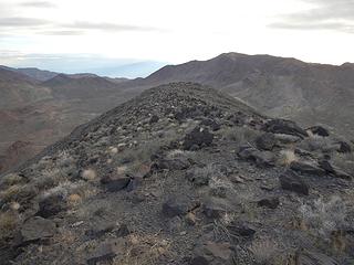 Daylight 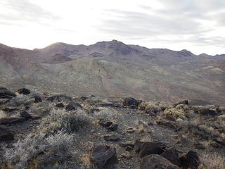 Flip Top 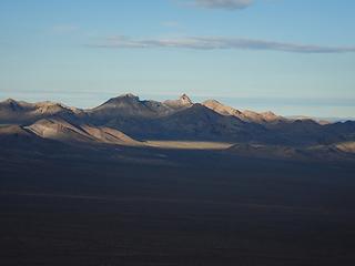 Sawtooth 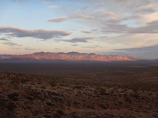 Bare 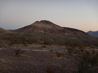 Prospect 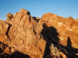 fins 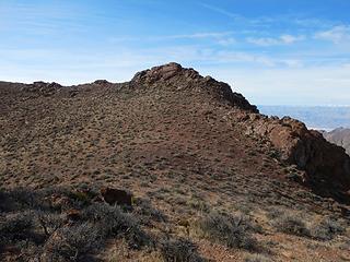 summit 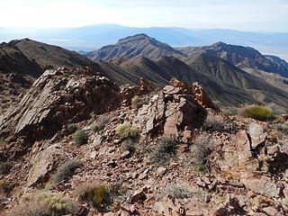 Telescope, Corkscrew 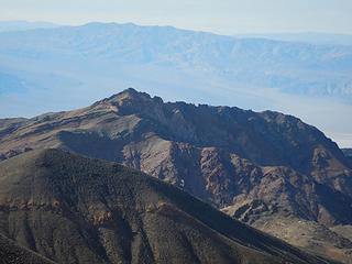 Old Snifter 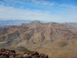 Thimble 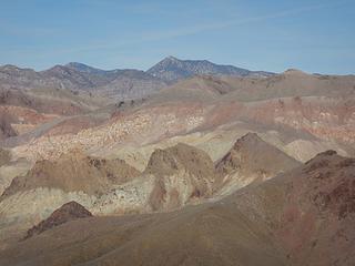 Grapevine 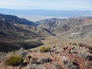 Titanothere Canyon 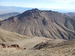 Flip Top 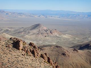 Pot 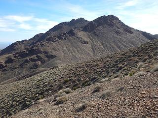 sub-peak 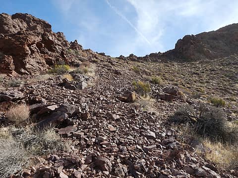 gap 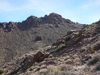 main peak
|
| Back to top |
|
|
raising3hikers
Member

Joined: 21 Sep 2007
Posts: 2344 | TRs | Pics
Location: Edmonds, Wa |
60 pks this month and 14 non hiking days? You're really taking advantage of your days. Thanks for your tr's
|
| Back to top |
|
|
Eric Hansen
Member
Joined: 23 Mar 2015
Posts: 866 | TRs | Pics
Location: Wisconsin |
|
| Back to top |
|
|
|
|
You cannot post new topics in this forum
You cannot reply to topics in this forum
You cannot edit your posts in this forum
You cannot delete your posts in this forum
You cannot vote in polls in this forum
|
Disclosure: As an Amazon Associate NWHikers.net earns from qualifying purchases when you use our link(s). |


