| Previous :: Next Topic |
| Author |
Message |
Gimpilator
infinity/21M


Joined: 12 Oct 2006
Posts: 1684 | TRs | Pics
Location: Edmonds, WA |
A late season chill, and windy days, have kept the focus on lower peaks for the extended period. I returned to a favorite area on the north-shore. There were 4 main peaks left for me in the Pinto Valley area. Some people are hiking 20+ mile days just to get 2 of these, but I had an idea to shorten the approach.
Pinto Ridge - 3083'
I hiked over the top of Pinto ridge and down a south side diagonal limestone ridge. This ridge was the biggest unknown factor because I havent heard of anyone going that way before. The ridge was class 2 and pleasant.
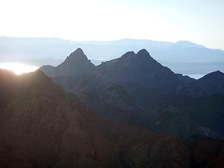 Booth's Pinnacle and Pyramid 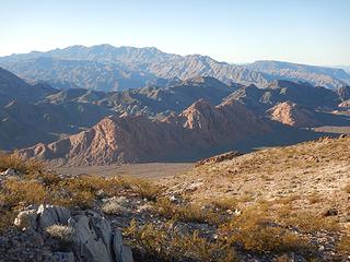 Wilson and Harlan 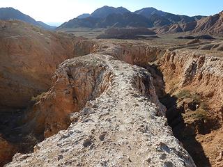 on the wall 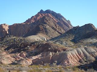 Sentinel 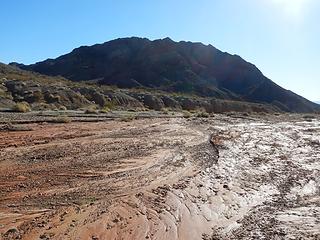 Land's End 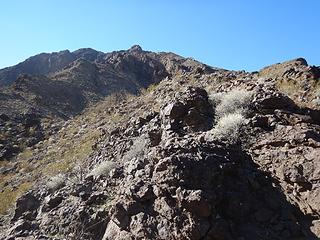 Ram Skull north ridge 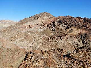 Land's End 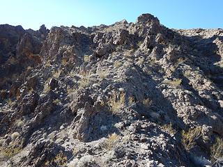 north ridge 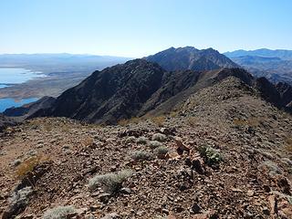 Guardian and Arch 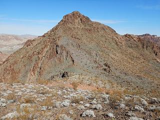 looking back at Ram Skull 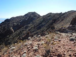 Guardian 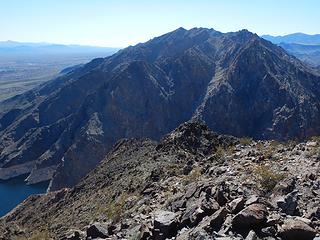 Arch 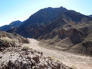 looking back at Ram Skull 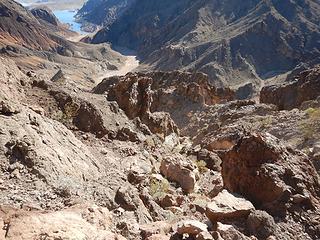 came over those ridges and up this choss 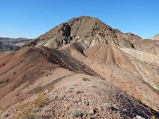 rotten limestone 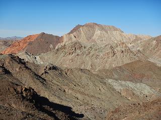 Sentinel 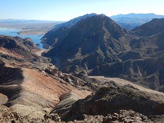 Ram Skull 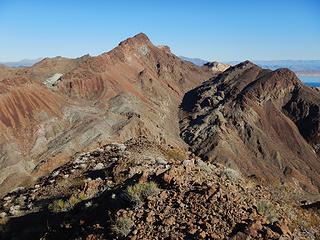 Pyramid 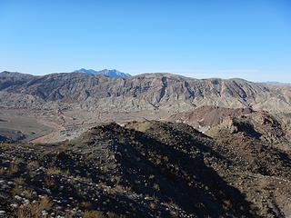 Pinto 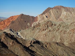 Sentinel 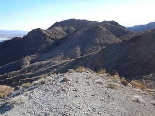 north side of Land's End is better 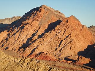 Sentinel 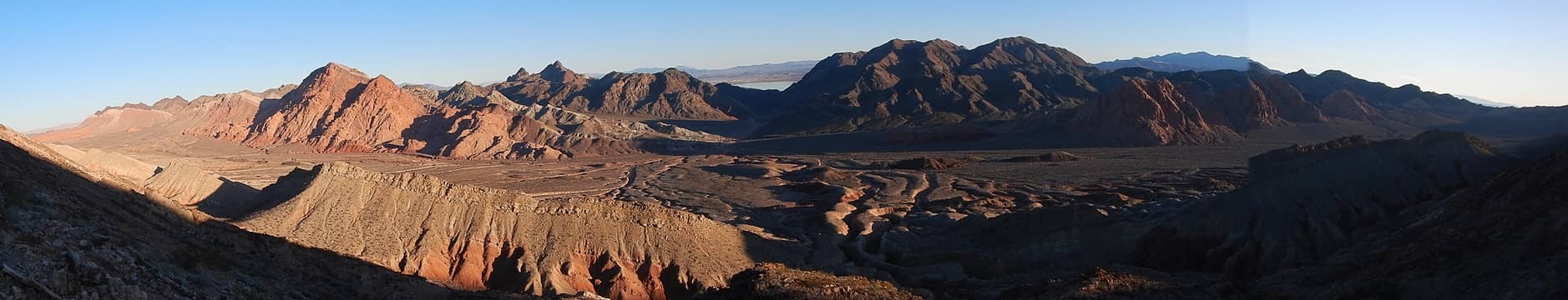 Pinto valley 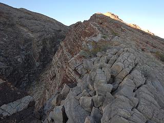 Pinto diagonal ridge 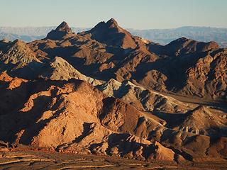 Booth's Pinnacle and Pyramid 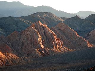 Harlan Peaks, east clearly higher 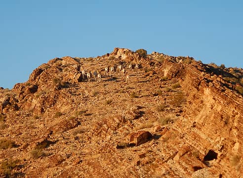 14 sheep 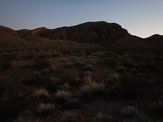 Pinto north side
|
| Back to top |
  
|
|
Jake Robinson
Member

Joined: 02 Aug 2016
Posts: 521 | TRs | Pics
|
Great stuff Adam 
| Gimpilator wrote: | Wilson and Harlan |
So is there another Wilson in the Lake Mead area? Or is that just a distant shot of the Wilson at Red Rock?
|
| Back to top |
|
|
Gimpilator
infinity/21M
Joined: 12 Oct 2006
Posts: 1684 | TRs | Pics
Location: Edmonds, WA |
Thanks, and good question. There's another nearby wilson, a big peak in Arizona.
|
| Back to top |
|
|
|
|
You cannot post new topics in this forum
You cannot reply to topics in this forum
You cannot edit your posts in this forum
You cannot delete your posts in this forum
You cannot vote in polls in this forum
|
Disclosure: As an Amazon Associate NWHikers.net earns from qualifying purchases when you use our link(s). |


