Matt Lemke
High on the Outdoors


Joined: 15 Jul 2010
Posts: 2052 | TRs | Pics
Location: Grand Junction |
|
Matt Lemke
High on the Outdoors
|
 Sat Apr 27, 2019 5:10 pm |
|
|
Continuing on in South America from last spring, the two of us went on yet another long bus ride to the border town of La Quiaca in extreme northern Arizona after climbing Nevado de Acay in the Puna de Atacama region of northern Argentina. It was in this town that for some reason my bank card stopped working, and I had to go to a cafe with wifi and call my bank using Skype and try to resolve the issue so I could withdraw a bunch of Argentine Pesos. I knew I would have to pay USD$160 to get a Bolivian tourist visa as an American citizen. Eventually I was able to get it working and sucessfully got money from the ATM. Elaine and I had met up with a couple from Germany and England who travelled with us as we crossed the border into Villazon. Getting my visa for the most part was painless, however I had to leave my passport with the Bolivian officer while I went next door to the casa de cambio to exchange my Argentine pesos for US dollars (thank god they had some), and pay my 160 dollar fee. Once I got my visa approved, the 4 of us got some food, and took a taxi to the central station.
Villazon was actually a bustling, and much larger town than I expected. Great food, a lively atmosphere and filled with travelers. I can only imagine this town isn't typically what Bolivians are used to. We boarded a bus heading north to Tupiza. Our plan was more or less going to follow the typical tourist track through western Bolivia, staying high in elevation and hitting up all the main attractions, such as the Uyuni salt flats before arriving in the capitol city of La Paz, where we would spend a few weeks and climb in the Cordillera Real.
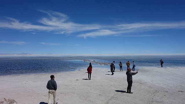
We arrived in Tupiza late in the evening, and managed to find a bed and breakfast type place for us to stay the night. We decided to continue to Uyuni the next day and once there (another 6+ hour bus ride) and rather than join an overpriced excursion to the salt flats we simply took a taxi from Uyuni to Colchani, a small town 15 minutes north where most parties access the salt flats from. We explored the nice museum at the edge of the salt flat which was actually very informative, and hitchhiked onto the salt flat catching a ride with a nice Russian couple who had a pickup. They took us as far as the salt hotel a few miles onto the flats where we could really experience the vastness of the landscape. The Uyuni salt flats are the largest in the world, over 4 times bigger than the Salt flats west of Salt Lake City. The landscape seemed to go on forever. We played around with some crazy perspective photos, but since water on the flats had only very recently dried up, the surface wasn't as flat as it could be. There were salt crystals making the salt surface very undulating.
The lighting for photography was also harsh, with the sun at midday high, the brightness was overwhelming and without sunglasses, snow blindness was certain. The temperatures were pleasant though since the elevation was so high (over 4000 meters).
 Arriving at the Salt Flats 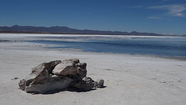 Still a little water on the edge of the salt flat 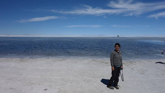 Elaine enjoying the sun 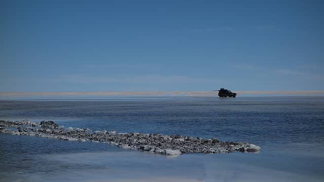 Cars are very easy to see 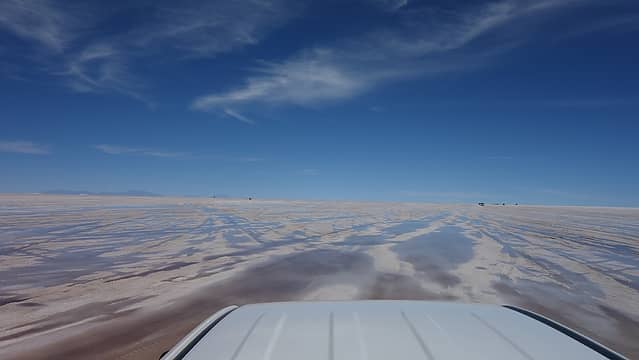 Hitchhiking in the back of the truck 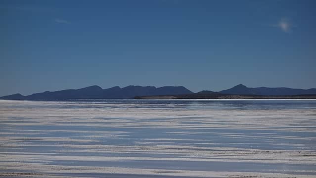 Tijtin Mountains off to the SW 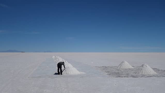 Miners pile the salt up and take it for various uses 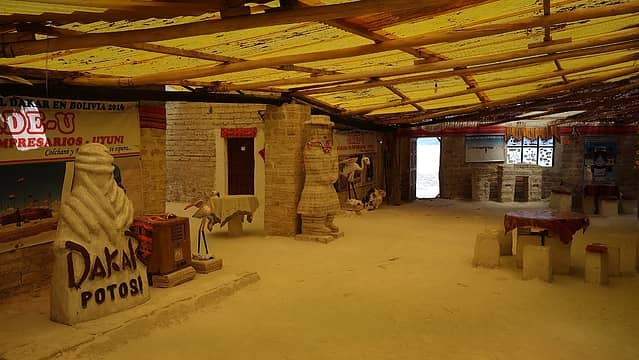 The salt hotel 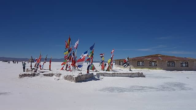 World flags at the salt hotel 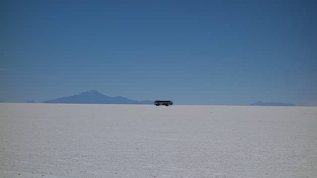 Busload of tourists likely miles away 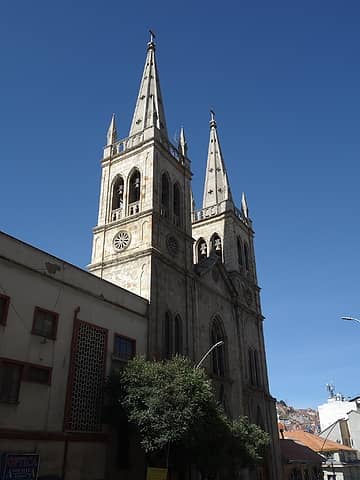 La Paz architecture 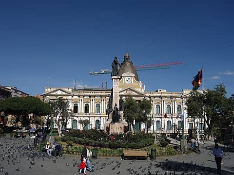 Bolivian Capitol Building 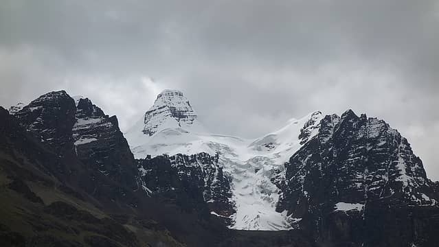 Cabeza de Condor (The Head) poking through the clouds 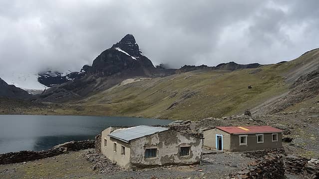 Aguja Negra standing proud with our home by the lake 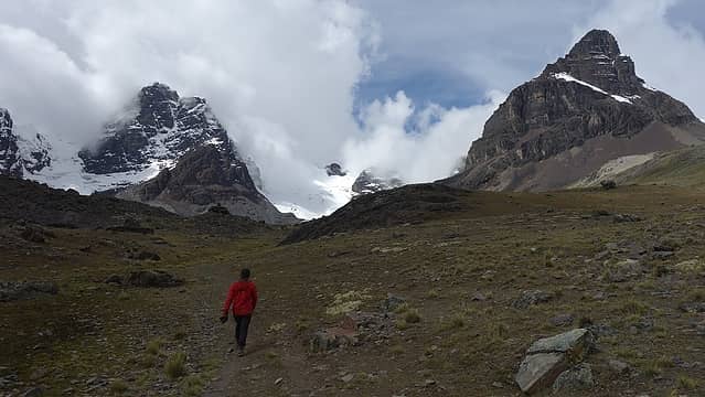 Hiking towards the glacier 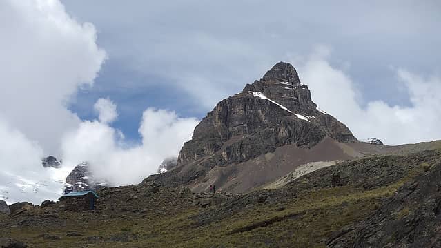 Aguja Negra 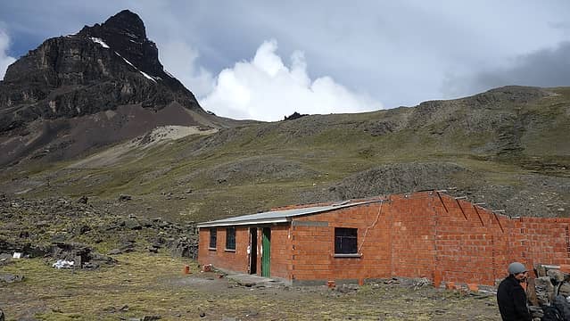 Refugio Condoriri at the base of Aguja Negra 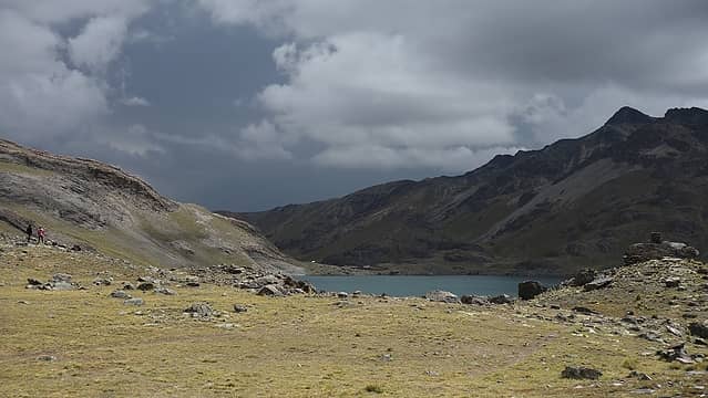 Lago Chiar Khota 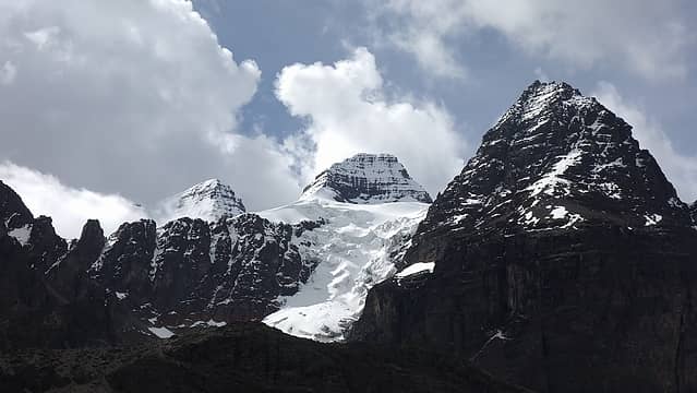 Head of the condor at center 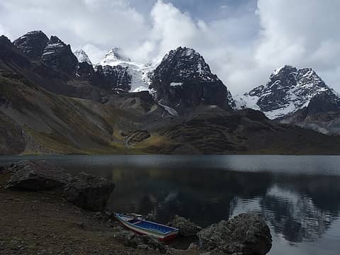 Profile view of the condor from our hut 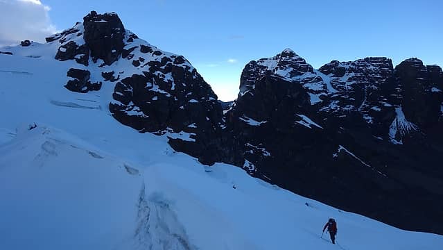 Working our way up the lower glacier 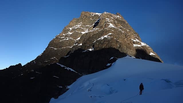 Nearing the saddle below Tarija with sunrise on the right wing 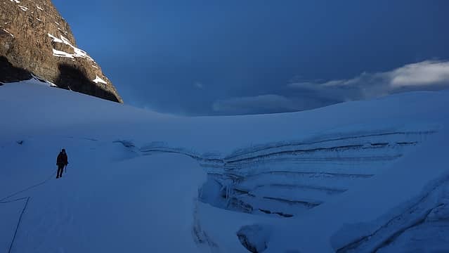 Ascending around a huge crevasse 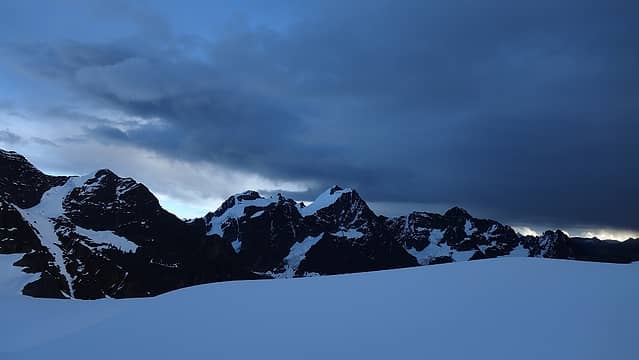 Clouds rolling in fast as viewed from the saddle 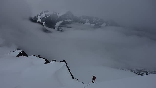 Elaine ascending to the summit of Tarija as clouds engulf us 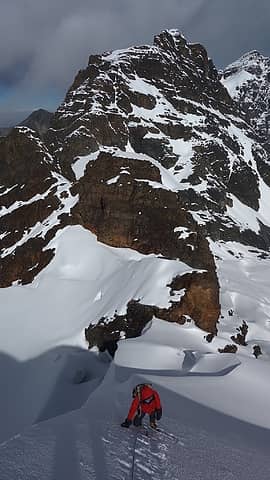 Elaine climbing the 55 degree spot on the ridge 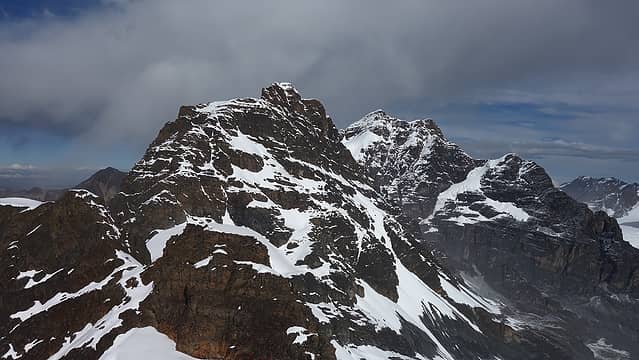 Head of the condor from the summit 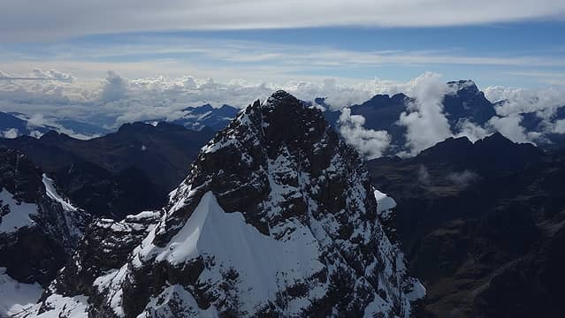 View to the northeast from the summit 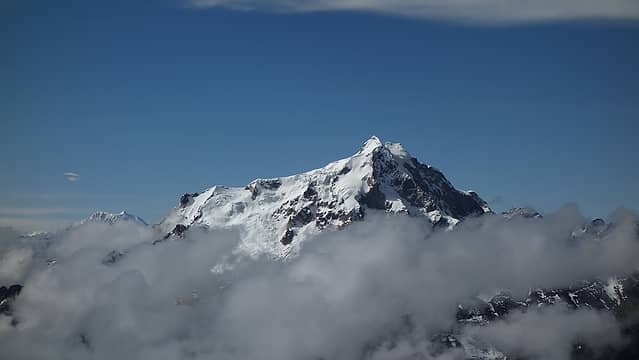 Huayna Potosi poking above the clouds 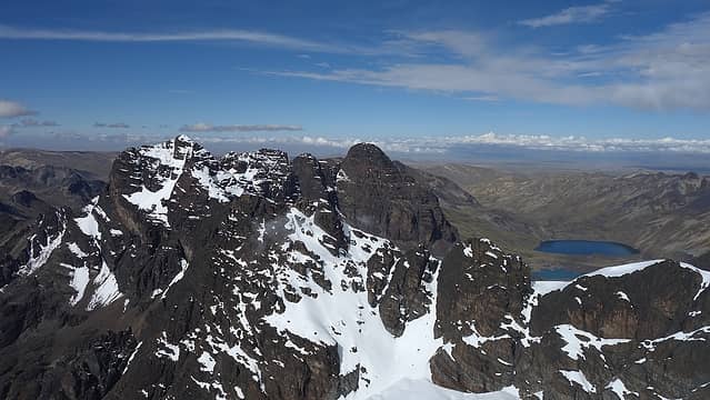 Lago Chiar Khota and Aguja Negra from summit 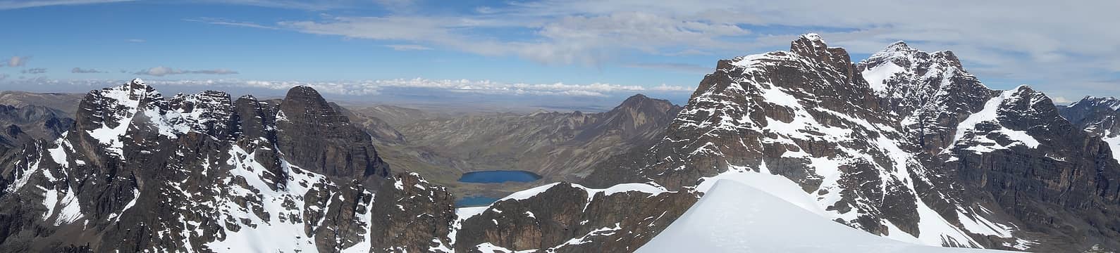 Panorama from the summit 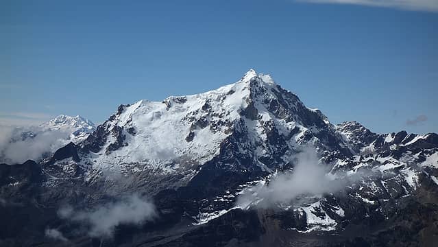 Huayna Potosi 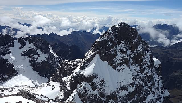 Snow lingering on other peaks 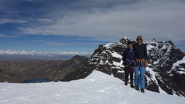 Summit shot 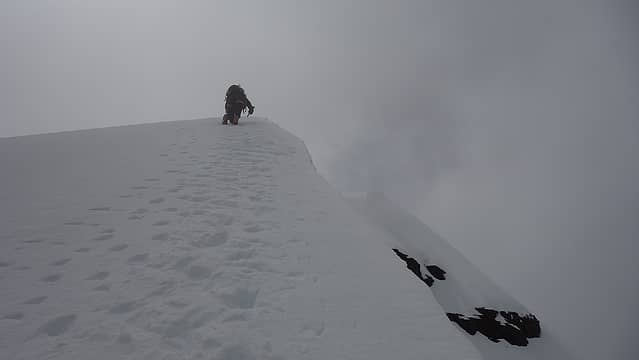 Downclimbing the ridge 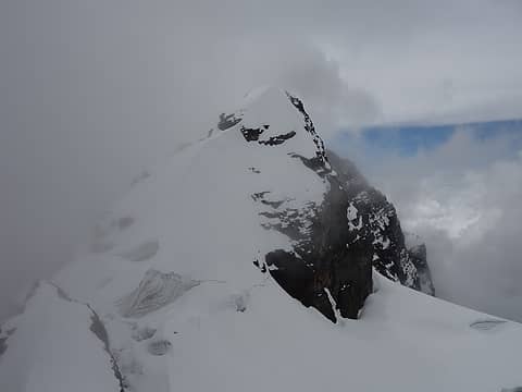 Clouds rolling back in as we descend 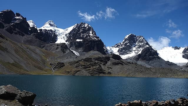 Back at the lake 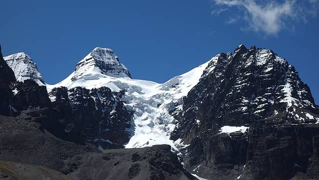 Condoriri
|


