| Previous :: Next Topic |
| Author |
Message |
Alden Ryno
Member

Joined: 04 Jun 2019
Posts: 150 | TRs | Pics
Location: Issaquah, WA |
A back-dated trip report from late February.
Despite gawking at maps of the area, I had never been north of the Mount Baker Highway (HWY 542). While winter likely isn't the best time to change that, I wanted to venture to a new-to-me place, and because a simple summit or trip isn't all that enticing for a full day of great weather, I decided to attempt Tomyhoi Peak in the winter. I knew that the summit block would be a challenge, given how it thwarts the best of us in summer, but why not?
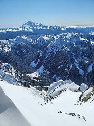 nice 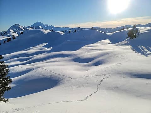 wide open spaces 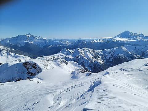 Gaining ridge to summit area 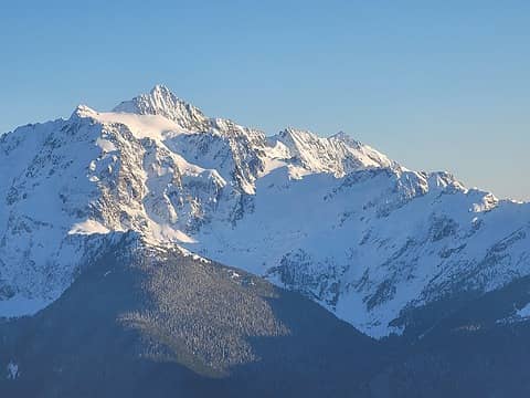 Shuky Cheese 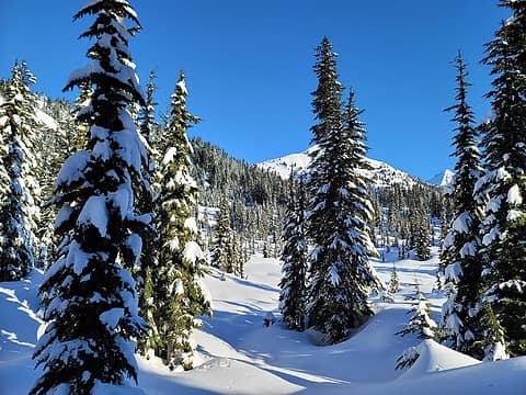 Trees thinning 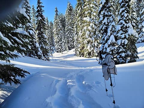 Some of the lightest Cascade powder I've encountered 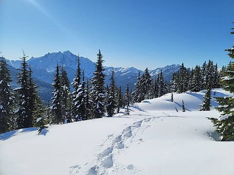 Above the steep bit, looking back 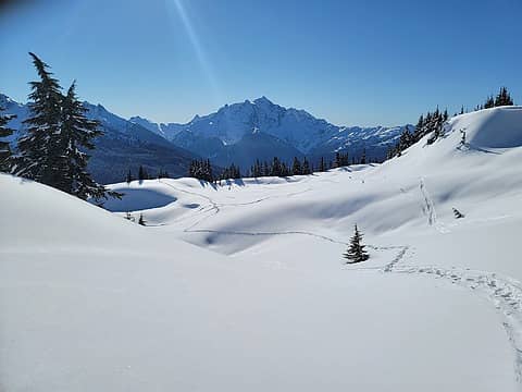 easy on the eyes 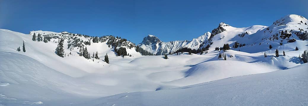 Tomyhoi, American Border Peak, Larrabee, and Yellow Aster Butte. I'd love to get out to ABP and Larrabee in summer/fall this year. 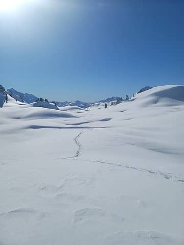 The long road back 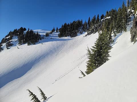 Standard path later in the day, from the slope I ascended/descended 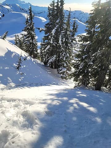 Looking down on what I came up 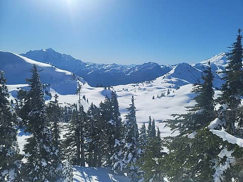 View back from above the next steep bit. Shukshan, Keep Kool Butte, and Dakobed 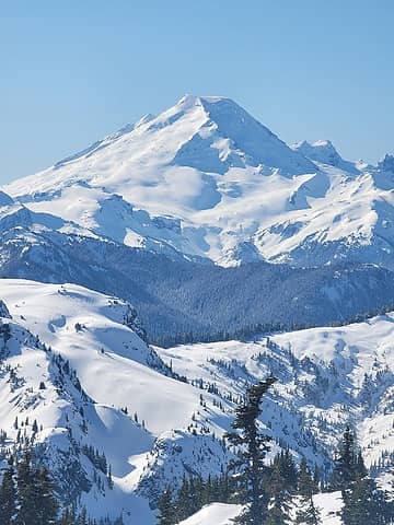 mmmm 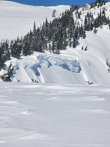 the wind may eventually "erode" the trees right off the face of the mountain 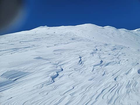 Dictionary: "wind-affected" *this image* 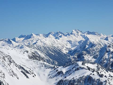 Chilliwack 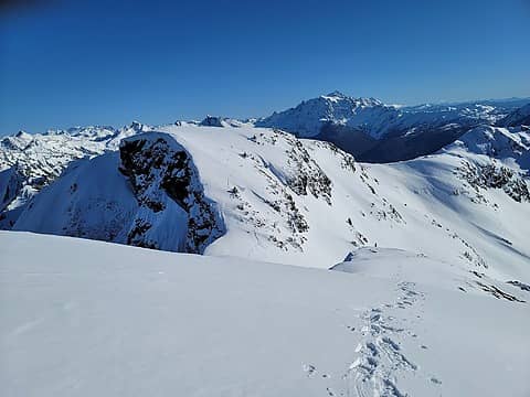 on the other side of the spookier descent 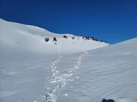 Path taken up (right) and down (left). 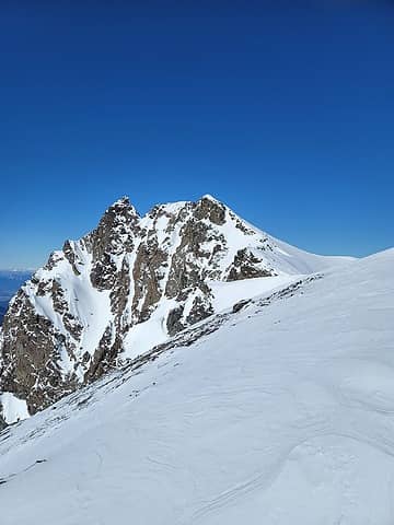 summit from a little ways out 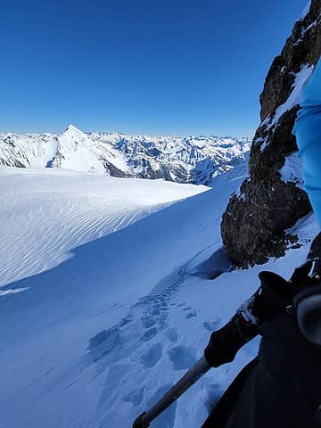 Some steep snow bits 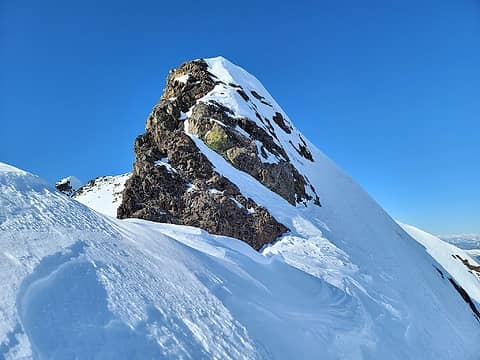 up and over or around? 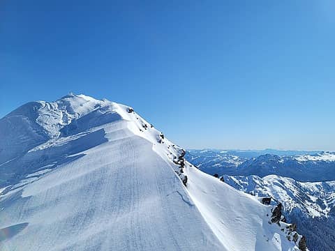 ridge 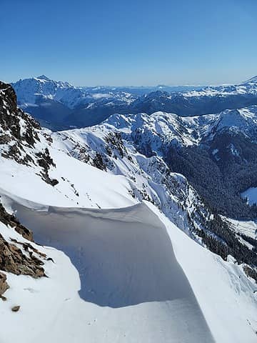 Path taken around rock on the way down 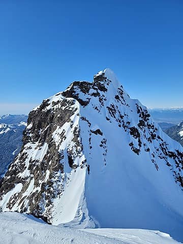 summit block 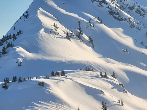 Keep Kool Butte later in the day
 abkoch3, ozzy, fourteen410, silence, half fast, SeanSullivan86, kw, JimK, reststep abkoch3, ozzy, fourteen410, silence, half fast, SeanSullivan86, kw, JimK, reststep  awilsondc awilsondc  KascadeFlat KascadeFlat
abkoch3, ozzy, fourteen410, silence, half fast, SeanSullivan86, kw, JimK, reststep awilsondc KascadeFlat |
| Back to top |
  
|
|
|
|
You cannot post new topics in this forum
You cannot reply to topics in this forum
You cannot edit your posts in this forum
You cannot delete your posts in this forum
You cannot vote in polls in this forum
|
Disclosure: As an Amazon Associate NWHikers.net earns from qualifying purchases when you use our link(s). |


