| Previous :: Next Topic |
| Author |
Message |
Gimpilator
infinity/21M


Joined: 12 Oct 2006
Posts: 1684 | TRs | Pics
Location: Edmonds, WA |
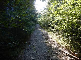
Went with Steven, Connor, Mel and Vlad to do Arrowsmith. The last time we were on the island we had planned to get it, but the access roads are often closed for logging, despite what the website says.
Mount Arrowsmith - 5968'
This peak is very popular on good weather weekends when the road is open. Lot's of gain and very steep. Only a couple moves of class 3 and a well established climbers path on the southwest rib. It's nice to be able see large bodies of water off both sides of the peak.
 start with this 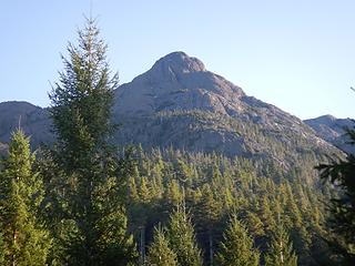 false summit 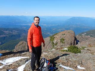 Vladimir 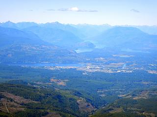 Port Alberni 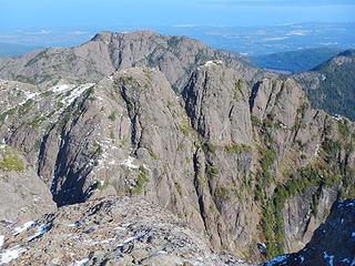 Cokely 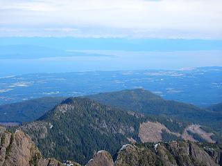 Straight of Georgia 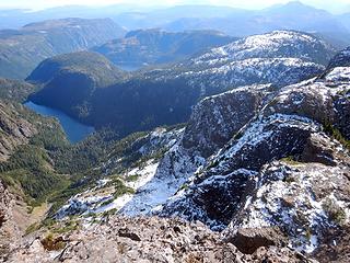 Fishtail Lake 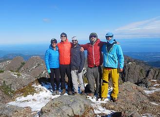 Arrowsmith summit 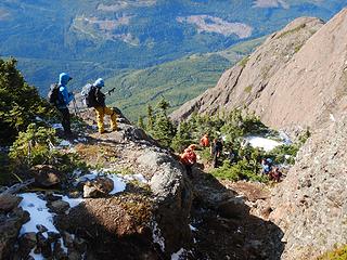 crowds  Witchcraft Lake  a pecker 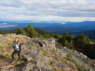 Mel 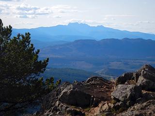 Arrowsmith 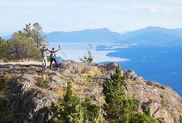 Connor and Mel 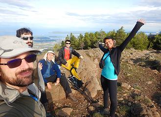 Benson summit 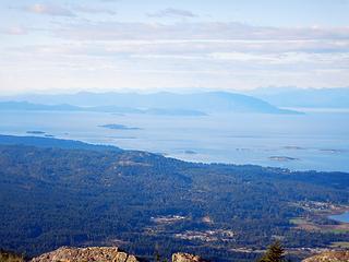 Lasqueti and Taxada Islands
|
| Back to top |
  
|
|
moonspots
Happy Curmudgeon

Joined: 03 Feb 2007
Posts: 2456 | TRs | Pics
Location: North Dakota |
|
moonspots
Happy Curmudgeon
|
 Sun Nov 03, 2019 6:11 am |
|
|
| Gimpilator wrote: | | Arrowsmith only took us 3.5 hours round-trip which includes a half hour on the summit. We wanted to make sure we caught a ferry back to the main land, but we also wanted another peak, so we decided to risk it and move quickly.
|
What an interesting report, it looks to me like a fine hike/scramble! Especially up the class 3 rock, that does look like fun.
And I DO have to wonder, just what might those structures be??? I first thought maybe weather sensors, but there are no exposed elements, so my next guess is radio repeaters, all enclosed inside the shelters. Must be significant wind/snow/ice up there during the winter would be my guess.
"Out, OUT you demons of Stupidity"! - St Dogbert, patron Saint of Technology
"Out, OUT you demons of Stupidity"! - St Dogbert, patron Saint of Technology
|
| Back to top |
|
|
Gimpilator
infinity/21M
Joined: 12 Oct 2006
Posts: 1684 | TRs | Pics
Location: Edmonds, WA |
I think you're right about them being repeaters. I have seen a few of this model in Washington over the years and a bunch in Canada. There's one like this on Zi Iob on Lost Ridge. The Canadians call them "dildos".
|
| Back to top |
|
|
|
|
You cannot post new topics in this forum
You cannot reply to topics in this forum
You cannot edit your posts in this forum
You cannot delete your posts in this forum
You cannot vote in polls in this forum
|
Disclosure: As an Amazon Associate NWHikers.net earns from qualifying purchases when you use our link(s). |


