| Previous :: Next Topic |
| Author |
Message |
Gimpilator
infinity/21M


Joined: 12 Oct 2006
Posts: 1684 | TRs | Pics
Location: Edmonds, WA |
November 22
Black Mountain - 2198'
We couldn't leave Vegas until late morning, so I picked 3 small objectives to do on the way south. Using Dean Gaudet's advice, this peak is class 2. We avoided the standard scramble with loose rubble.
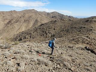
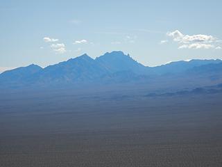 Spirit 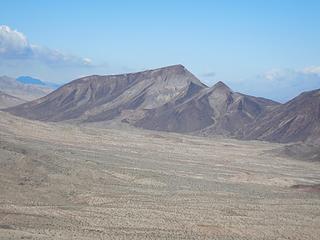 Salt and Pepper 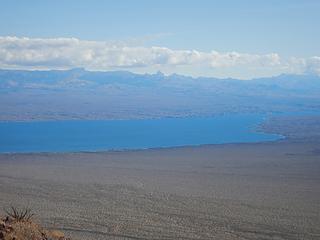 Mojave Lake 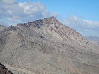 Copper 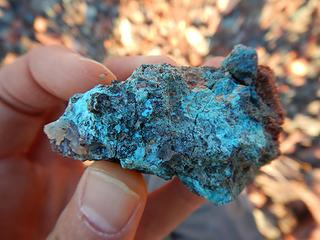 ore 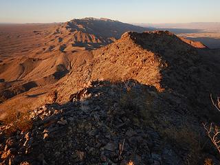 Dead Mountains 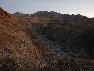 3441 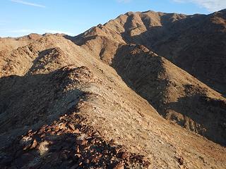 3441 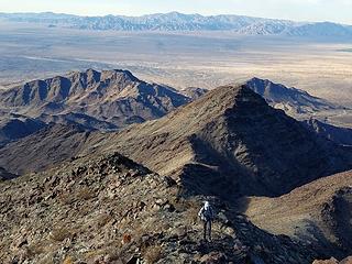 good quality  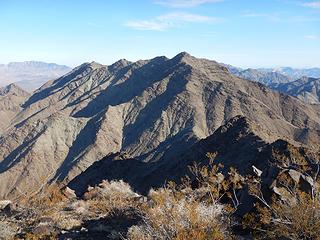 South Palen 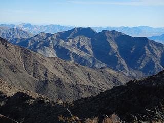 Middle Palen, far away 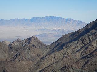 Granite  South Palen 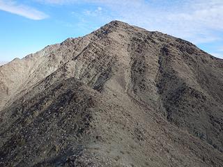 South Palen 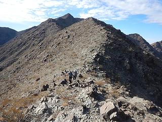 coming down from 3441 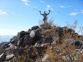 summit 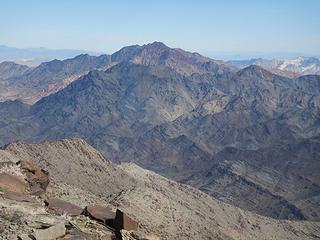 Palen 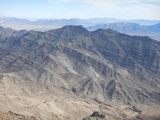 Middle Palen 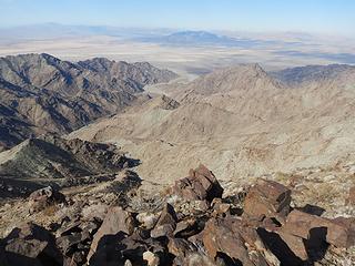 west 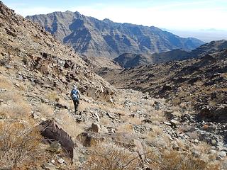 dropping 2000 feet 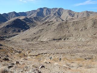 South Palen 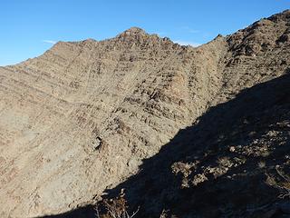 traverse to summit ridge 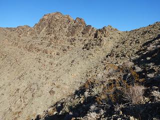 Middle Palen 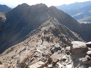 southwest ridge 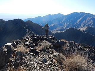 Frances and the two peaks we came over behind her 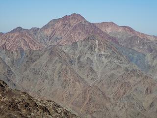 Palen main peak
|
| Back to top |
  
|
|
Gimpilator
infinity/21M
Joined: 12 Oct 2006
Posts: 1684 | TRs | Pics
Location: Edmonds, WA |
11-24
Peak 4118
The peak southwest of Pilot. Bob Burd route. Thanks Bob! We replaced the register jar, which was rusted and leaking on the lid.
 going to Pilot 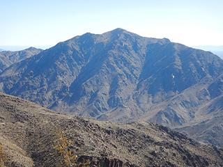 Black 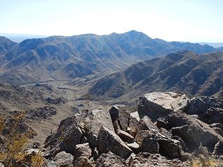 Peak 4369 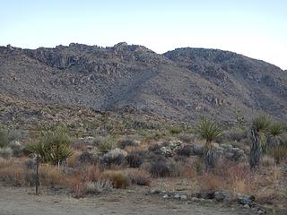 Queen 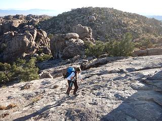 east summit slabs 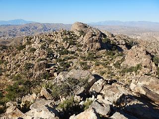 west summit from east. 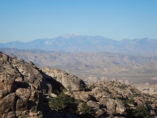 San Gorgonio 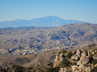 San Jacinto 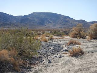 Outlaw 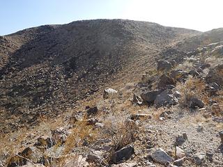 Outlaw 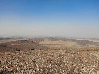 here it comes 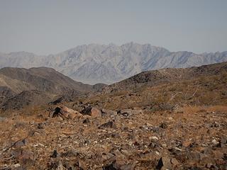 Coxcombs, Spectre group 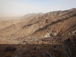 Pinto Range
|
| Back to top |
|
|
Abert
Member

Joined: 02 Sep 2010
Posts: 588 | TRs | Pics
Location: Sequim |
|
Abert
Member
|
 Wed Nov 27, 2019 6:15 pm |
|
|
I lost my gps coming down from Queen on the 20th. It was snowing lightly and I wasn't in the mood (or really dressed) to go back up and look for it. I'm so dependent on it now I'm amazed I made it through almost a week without one.
|
| Back to top |
|
|
|
|
You cannot post new topics in this forum
You cannot reply to topics in this forum
You cannot edit your posts in this forum
You cannot delete your posts in this forum
You cannot vote in polls in this forum
|
Disclosure: As an Amazon Associate NWHikers.net earns from qualifying purchases when you use our link(s). |


