Forum Index > Trip Reports > Saddle Butte and Driveway Ridge (Blue Mtns) May 1, 2020
 Reply to topic
Previous :: Next Topic
Author Message
RichP
Member
Member


Joined: 13 Jul 2006
Posts: 5632 | TRs | Pics
Location: here
RichP
Member
PostTue May 12, 2020 8:31 am 
Peakbagger types know Saddle Butte as the prominence peak for Asotin County with a rise of 974.' A road goes to the top but deep snow lingers on north approaches until well into summer. I thought I'd try from the south via Grouse Flat and hike up the road where snow started. To my surprise I could drive up to nearly 5000' where the road swings into a shady drainage containing Bucket Spring, only about a mile from the junction with the 1.7 mile spur to the 5900' summit. As I parked I spooked a small bear on the road.
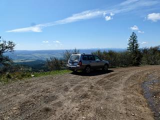
Parking at 4980' on Rd 40 just before Bucket Spring.
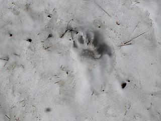
I stopped a bear in its tracks as I was parking.
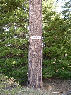
Elevation marker at junction of Rd 40 and summit road.
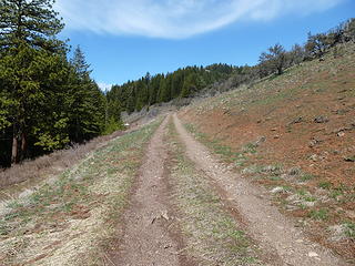
Road to the top of Saddle Butte.
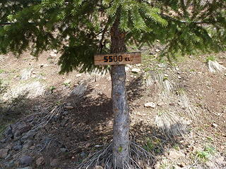
Roadside elevation marker.
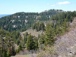
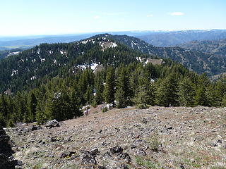
Driveway Ridge.
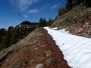
Driveway Ridge.
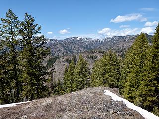
Snow near the top.
Snow near the top.
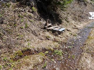
A spring on the way up along the road.
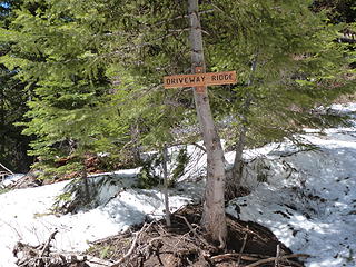
There's a sign on Driveway Ridge.
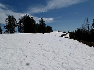
Nearing the top.
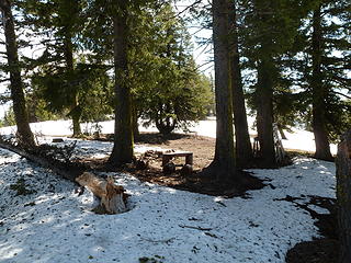
Nearing the top.
Camp on the summit.
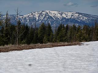
Camp on the summit.
Plenty of snow still on Oregon Butte.
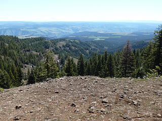
After lounging a bit on Saddle Butte, I turned my attention to Driveway Ridge. It's about a 2 mile ridgewalk from the last hairpin turn on the road and one enters The Wenaha-Tucannon Wilderness right away. I found some traces of old trail and a couple of camps on the walk out which has some pretty good ups and downs along the way.
Grouse Flat to the south.
Driveway Ridge.
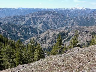
Driveway Ridge.
Halsey Butte.
Halsey Butte.
Looking at the south side of The Blues.
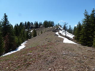
Typical terrain on the hike over to Driveway Ridge.
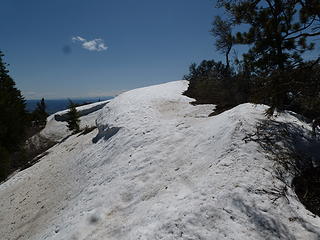
Some snowy sections on the ridge walk.
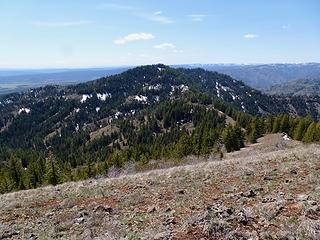
The highpoint of Driveway Ridge, 5582.'
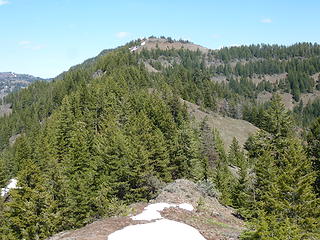
Middle Ridge is a 5621' point between Saddle Butte and Driveway Ridge.
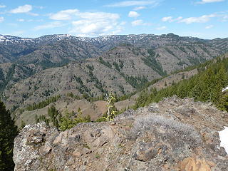
Diamond Peak.
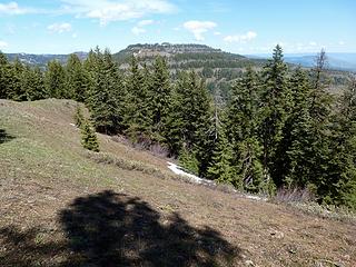
Diamond Peak.
Saddle Butte from near the top Driveway Ridge.
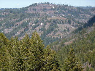
Mt Horrible. Rd 40 (Pomeroy/Grouse Flat) visible below.
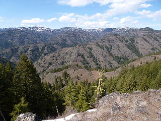
Blues.
Blues.
In just about every snow patch I saw bear tracks but my singing voice must have alerted them to my presence since I ran into nary a one. Ticks were out in force and I picked dozens off my clothes. 10ish miles and 3500.'

Back to top Reply to topic Reply with quote Send private message
glenoid
Member
Member


Joined: 30 Oct 2012
Posts: 307 | TRs | Pics
glenoid
Member
PostTue May 12, 2020 5:02 pm 
Nice! You got a good trip in for this time of year. South facing Blues are great this time of year with the intense sun they get.

Back to top Reply to topic Reply with quote Send private message
   All times are GMT - 8 Hours
 Reply to topic
Forum Index > Trip Reports > Saddle Butte and Driveway Ridge (Blue Mtns) May 1, 2020
  Happy Birthday Wes!
Jump to:   
Search this topic:

You cannot post new topics in this forum
You cannot reply to topics in this forum
You cannot edit your posts in this forum
You cannot delete your posts in this forum
You cannot vote in polls in this forum