| Previous :: Next Topic |
| Author |
Message |
Alden Ryno
Member


Joined: 04 Jun 2019
Posts: 150 | TRs | Pics
Location: Issaquah, WA |
Monument Peak
31 miles, 12,000' gain.
Slate Pass TH
Synopsis: Slate Pass, Lake Ferguson Trail, "Feralcat" Pass, parallel SF Eureka Creek, ascend primary south gully of Monument, repeat in with reverse with a sleep nearly bisecting it.
Beta: Fletcher's TR
With work canceled on Wednesday due to adverse air quality in the Tri-Cities, I left home at 6pm for Winthrop, where I arrived at 1030pm. I parked and got a few meager hours of sleep until 3am when I left for Harts/Slate Pass. I arrived at the trailhead at 0500 and felt like turds. I took another 45 minute nap, then got ready, entirely unsure if I'd even hike a mile... Due to the smoke and overall malaise.
I half-heartedly embarked from Slate Pass at 0615 on Wednesday in a smokey haze. It looked bad, however, the smell was hardly discernable; a few stars were visible above in the wee hours of the morning.
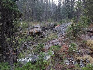
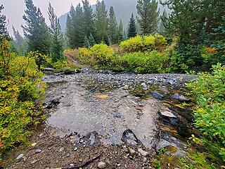 MF Pasayten crossing 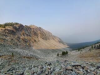 West side of Feralcat Pass (Lake Ferg/MF Pasayten side) 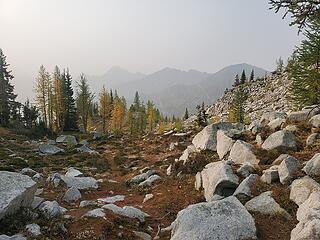 Smidge below the pass on the eastern side 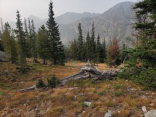 General terrain and brush during the traverse 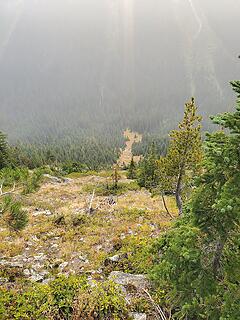 one of a few naked (treeless) gullies 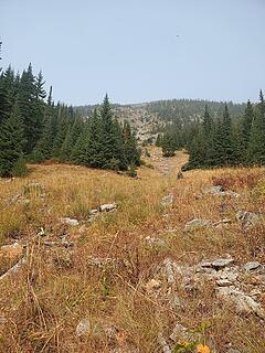 from below 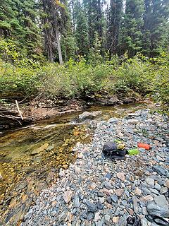 Eureka Creek crossing 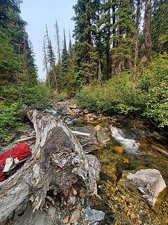 more of Eureka creek 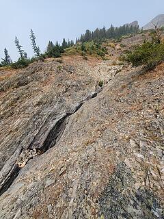 water in the gully 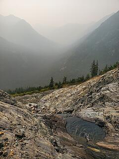 agua 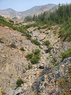 Looking up, up, up you can see bit of flowing water (dark portions of rock in the center gully) 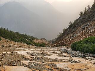 Slippery Slab, viewed from above 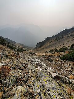 not-quite-scree-ledges 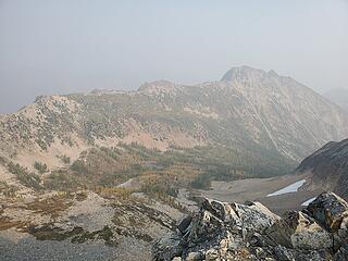 "view" of Lake from where I gained the ridge 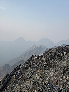 Osceola and Carru 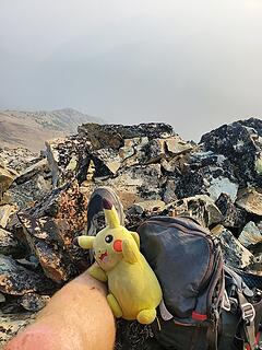 gotta have my pal  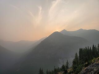 Smoke density seemed to lessen as I descended; beautiful iridescence filled the sky 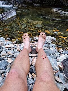 FEETS (OnlyFans, huehuehue)  They usually coincide with the summer solstice (World Hike Naked Day, obviously) but I procrastinated hard this year and got them for the vernal equinox. (I also got a slap on the wrist for posting one of those nudey playing cards earlier this year, so that's a deterrent as well; y'all should be thankful!). They usually coincide with the summer solstice (World Hike Naked Day, obviously) but I procrastinated hard this year and got them for the vernal equinox. (I also got a slap on the wrist for posting one of those nudey playing cards earlier this year, so that's a deterrent as well; y'all should be thankful!).
 South Fork Eureka at camp 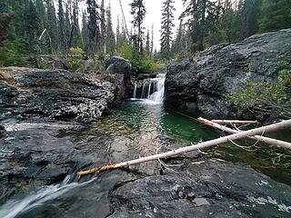 waterfall at camp 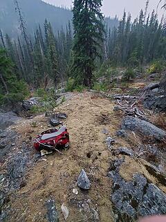 where I slept 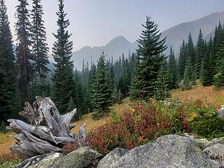 Autumn amongst us 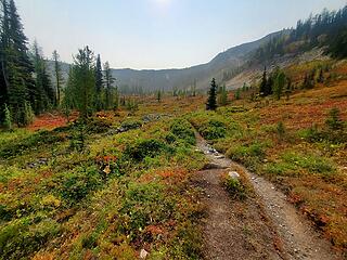 I could cry I love autumn so much
|
| Back to top |
  
|
|
Cyclopath
Faster than light

Joined: 20 Mar 2012
Posts: 7733 | TRs | Pics
Location: Seattle |
|
Cyclopath
Faster than light
|
 Sat Sep 26, 2020 10:27 pm |
|
|
You made the smoke look beautiful in a few of those, your opening shot could be in the calendar. Sounds like it was an adventure! Such a beautiful part of Washington.
Are the larches starting to go off at Feral Cat?
|
| Back to top |
|
|
Alden Ryno
Member
Joined: 04 Jun 2019
Posts: 150 | TRs | Pics
Location: Issaquah, WA |
They are! I'd estimate ~20-25% were in the midst of turning while I was there. Few seemed to be fully turned (not "popping" too greatly in color).
|
| Back to top |
|
|
|
|
You cannot post new topics in this forum
You cannot reply to topics in this forum
You cannot edit your posts in this forum
You cannot delete your posts in this forum
You cannot vote in polls in this forum
|
Disclosure: As an Amazon Associate NWHikers.net earns from qualifying purchases when you use our link(s). |


