| Previous :: Next Topic |
| Author |
Message |
Matt
Tea, Earl Grey, Hot


Joined: 30 Jan 2007
Posts: 4307 | TRs | Pics
Location: Shoreline |
|
Matt
Tea, Earl Grey, Hot
|
 Mon Jan 04, 2021 1:43 am |
|
|
After posting this year's report for larches and peakbagging on the west end of American Ridge, I realized I never posted last year's report for the east end of the ridge...
Dates: October 27-28, 2019
Destination: American Ridge - Goat 6473, Peak 6197, Peak 6340, Peak 6260
Party: Matt, Carla
We went to American Ridge in order to see western larches, camp high on a ridge crest, and tag multiple nearby summits.
Mostly we were impressed by the western larches, especially in contrast to our previous experience with alpine larches:
- As we had hoped, they had turned later in the year, still showing good color in late October.
They grow at much lower elevations, starting right from trailhead elevation at 3200 feet.
They grow all mixed with other conifers, rather than in separate stands. Hiking through the forest, they provide regular beacons of bright color amid the darker firs and pines.
They grow big! Some of them looked more liked ponderosa pines, stretching high overhead atop large straight trunks.
The American Ridge larches are surprisingly far west. It just seemed strange to see larches and Mt. Rainier in the same view.
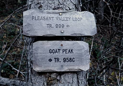
Itinerary: Well call this the reversed Pleasant Goat Loop, with a further American extension.
On Day 1, we hiked up the Goat Peak trail then followed the ridge south to camp on an open crest about a half mile south of the Pleasant Valley junction. On Day 2, we made a side trip further south along the ridge to tag Peaks 6197, 6340, and 6260. Then we hiked down the Pleasant Valley trail and followed the riverside trail back to our car.
 Goat-Pleasant loop 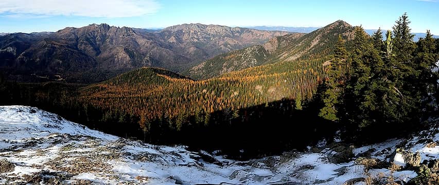 The view from Point 6197. Goat Peak is at upper right, and the Pleasant Valley trail follows the larchy ridge in the middle of the photo. 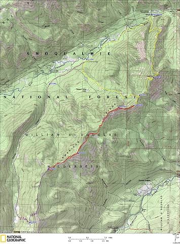 American Ridge GPS Track 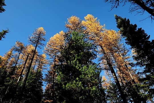 Tall larches mixed with pines and firs 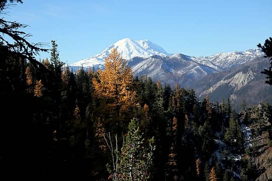 Rainier 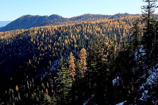 lots of larches on the far side of the ridge 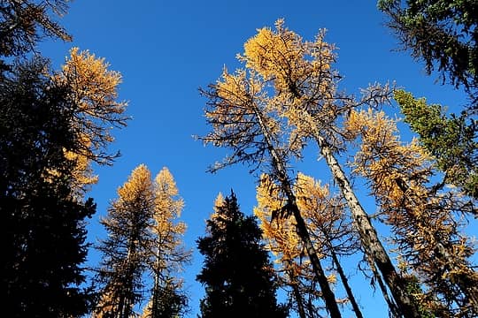 more hiking beneath tall larches 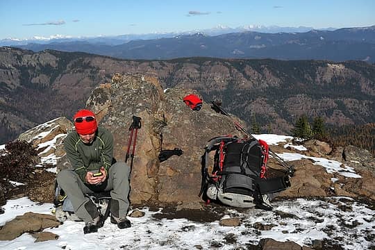 Carla on Goat Peak 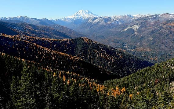 Looking west along American Ridge to Rainier 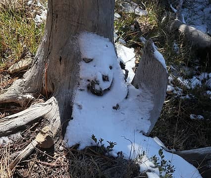 Happy tree snow along the trail 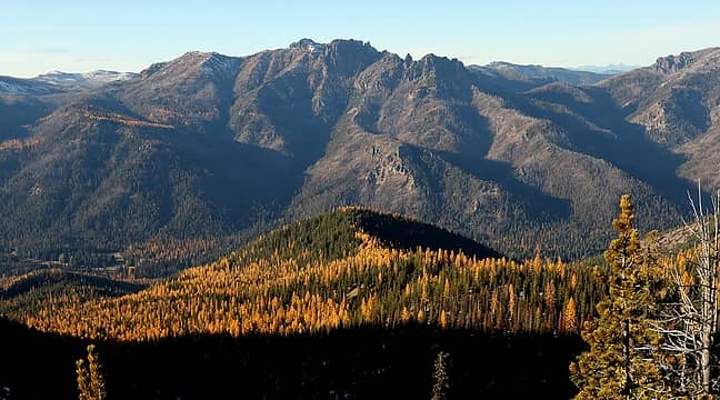 Looking across at Fifes Peak 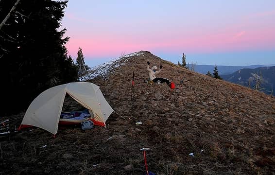 Carla at camp 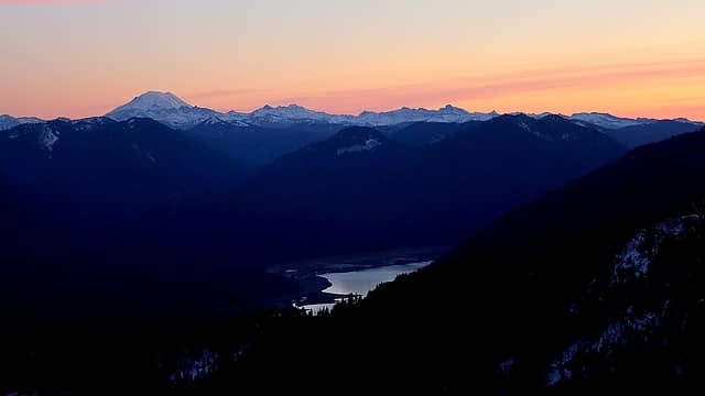 Evening skies beyond Bumping Lake, Adams, and Goat Rocks 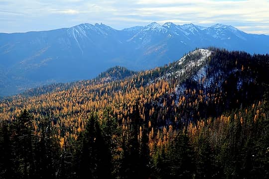 Looking south toward Buffalo Hump and Nelson Ridge 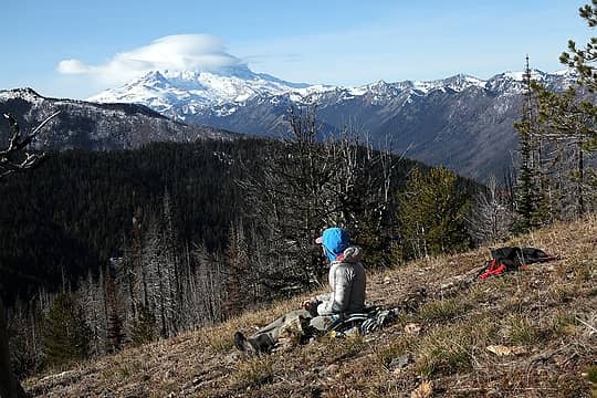 Lenticulars on Rainier 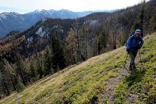 Just cruising along the high meadow trails 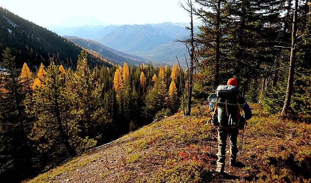 Heading down the ridge alongside Pleasant Valley Lake Creek. 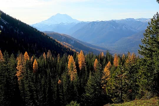 Racing the shadows from the adjacent ridge 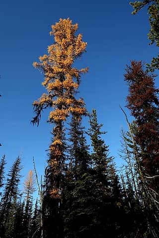 Tall larch 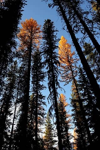 Larches catching light above the shadows 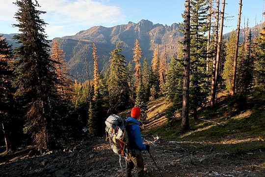 Carla descending with Fifes across the valley 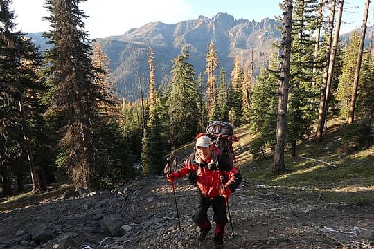 Me 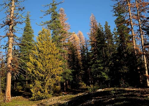 Mix of cedar, pine, larch, and fir 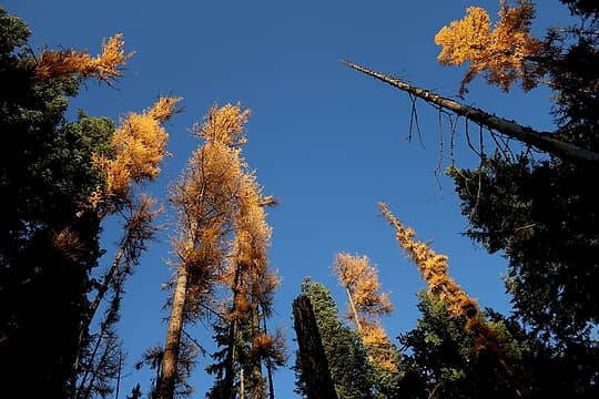 Tall trees catching the last light overhead 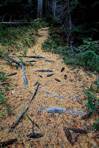 Hiking a carpet of gold needles along the river.
As beacons mountains burned at evening. J.R.R. Tolkien
As beacons mountains burned at evening. J.R.R. Tolkien
|
| Back to top |
  
|
|
|
|
You cannot post new topics in this forum
You cannot reply to topics in this forum
You cannot edit your posts in this forum
You cannot delete your posts in this forum
You cannot vote in polls in this forum
|
Disclosure: As an Amazon Associate NWHikers.net earns from qualifying purchases when you use our link(s). |


