| Previous :: Next Topic |
| Author |
Message |
John Morrow
Member


Joined: 03 Apr 2007
Posts: 1526 | TRs | Pics
Location: Roslyn |
After freezing my kiester at 4000ft in Mojave National Preserve, I really had no clear idea of what I wanted to do next. Covid killed my usual holiday plans so I was beginning to think I was in it for the long haul down here in the desert. At least by my standards. When temps get into the low 20s and my water bottle freezes solid outside of the tent, it is time to lower my base elevation. Corn Springs, with its rock art and hiking potential, had been on my radar. A longish drive, yet lower in altitude and latitude, and surrounded by the Chuckwalla Mountains Wilderness, made the drive worthwhile. Plus, I'd be quite close to Joshua Tree National Park.
The petroglyphs are fantastic. The site is considered to be on a prehistoric migration/trade route from the Colorado River used by the tribes such as the Chemehuevi inhabiting the lower river corridor. Typical elaborate geometric abstract style of those tribes.
My goal was to find a few summits that I could link with some enjoyable ridgerunning and have some big views of future potential trips.
I chose a couple unnamed peaks leading to a known and oft scrambled benchmark. Fine scrambling on the southeast ridge of Peak 2827 led to a long ridgewalk over Peak 2927 and then onto Corn Benchmark 3149' After the summits I descended a west ridge of Corn BM to a really nice waterpolished canyon trending south back to my start about 2 miles west of the campground (good road for decent clearance passenger vehicles).
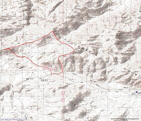 Chuckwalla 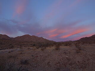 Morning at Corn Springs 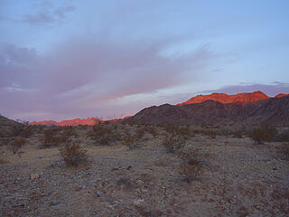 first sun 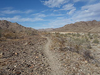 1000 year old trail 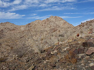 first on the agenda Peak 2827' 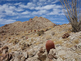 ridge looks nice 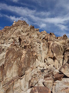 awesome scrambling 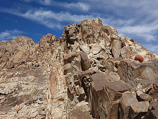 granitic solid 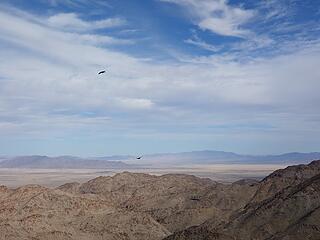 raven dances 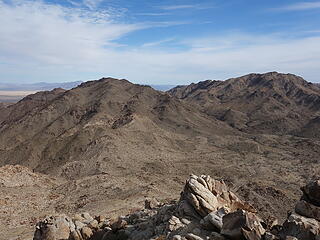 those two next 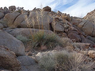 yucca 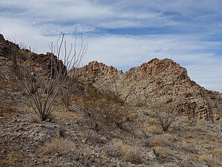 ocotillo 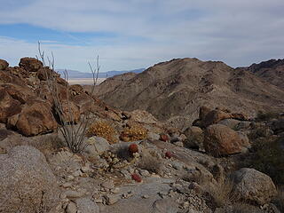 On to Peak 2927' 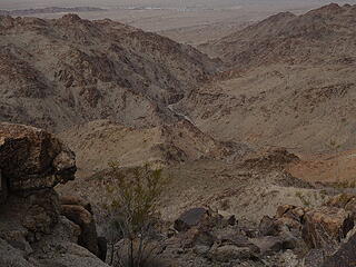 Spring Tank Canyon 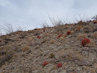 barrels and ocos 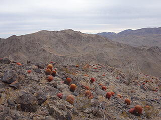 Corn Benchmark next 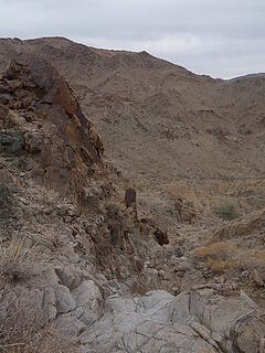 solid polished draw to descend 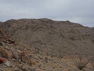 central NW rib looks simple 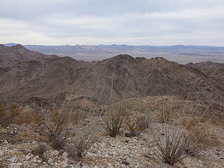 looking back 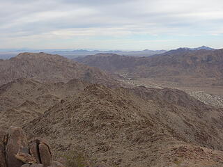 Corn Springs below 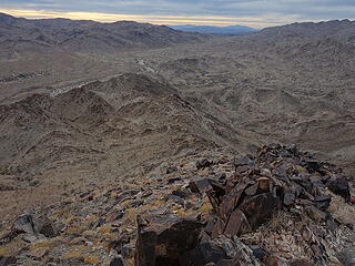 SW ridge descent to canyon 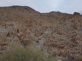 avoid dryfall 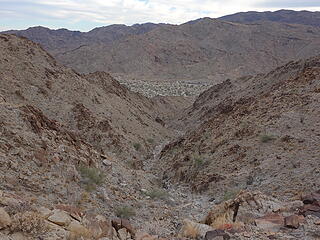 unnamed canyon descent 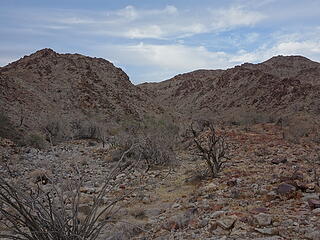 the end 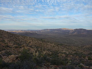 Above the Heart of Joshua Tree 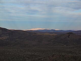 crazy rays 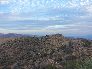 Salton Sea distant 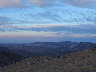 Setting sun on Inspiration Point 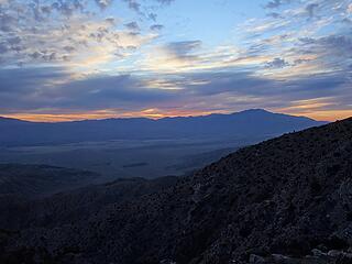 San Jacinto 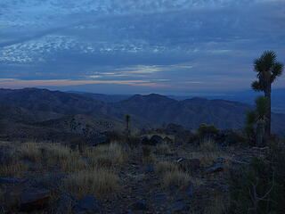 getting late, find a camp 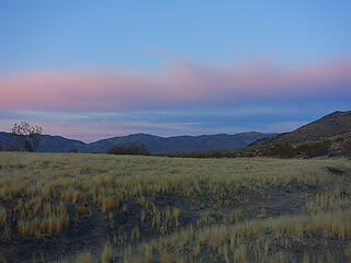 1 mile backpack 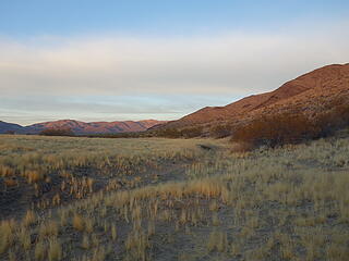 morning in Pleasant Valley 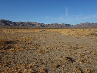 Pleasant Valley Lake 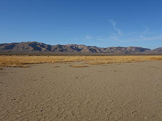 dry lake JTree style 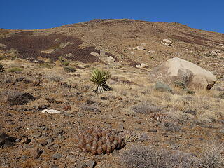 Up Malapai Butte 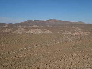 Ryan Mountain distant 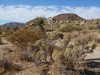 retrun from the Butte 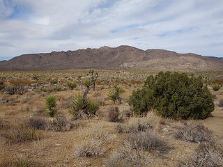 Queen Mtn after Negro Mtn hike 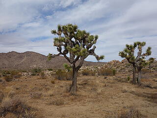 ubiquitous 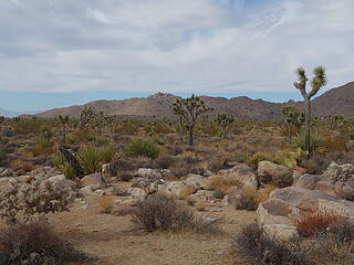 typical JTree scenery 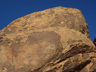 petro 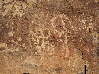 petro 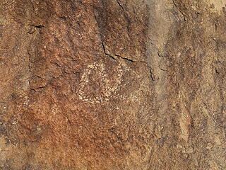 petro
Tell me, what is it you plan to do with your one wild and precious life?-Mary Oliver
A nation that continues year after year to spend more money on military defense than on programs of social uplift is approaching spiritual doom.
― MLK Jr.
Tell me, what is it you plan to do with your one wild and precious life?-Mary Oliver
A nation that continues year after year to spend more money on military defense than on programs of social uplift is approaching spiritual doom.
― MLK Jr.
|
| Back to top |
  
|
|
Ski
><((((°>

Joined: 28 May 2005
Posts: 12832 | TRs | Pics
Location: tacoma |
|
Ski
><((((°>
|
 Sun Jan 17, 2021 8:19 am |
|
|
very cool. 
"I shall wear white flannel trousers, and walk upon the beach.
I have heard the mermaids singing, each to each."
"I shall wear white flannel trousers, and walk upon the beach.
I have heard the mermaids singing, each to each."
|
| Back to top |
|
|
|
|
You cannot post new topics in this forum
You cannot reply to topics in this forum
You cannot edit your posts in this forum
You cannot delete your posts in this forum
You cannot vote in polls in this forum
|
Disclosure: As an Amazon Associate NWHikers.net earns from qualifying purchases when you use our link(s). |


