| Previous :: Next Topic |
| Author |
Message |
meck
Member


Joined: 31 Dec 2010
Posts: 920 | TRs | Pics
|
|
meck
Member
|
 Sun Apr 02, 2017 8:49 pm |
|
|
West Rock attempt, Olympic National Forest, 2 April 2017.
I'd been wanting to try this one for a while (NateB had been up its neighbor, East Rock a while back). Thought I had a pretty good route planned, unfortunately did not get an early enough start so did not make it today... however the views were still pretty good considering the low clouds.
I took FSR 2502 off the Hamma-hamma Road #25, just before you reach the Lena Lake TH, up into the Cabin Creek drainage. The road has waterbars, lots of substantial waterbars! I scraped my truck bottom a few times, so by the time I reached waterbar #11 I decided it was a good idea to park and walk in the rest of the way (~1000' elev. about 3/4 mile up the road). My low-ish truck has about 8.5" of clearance, I'd recommend a jeep or other compact SUV, or really high truck, to safely clear the waterbars. Aside from that, the road was in excellent condition from what I could tell until at least the -020 junction.
By the time I reached the FSR2502-020 spur road junction (~2500'), it was solid snow 2-3' deep, but it made for easy snowshoeing all the rest of the way to the end of the spur road at ~3200'. I ate lunch there. It was already late in the day, so I headed up to the high point above a nearby clearcut, at 3700', instead of trying to route find the remaining 0.5 miles to the summit of West Rock.
I took some pics and headed back down.
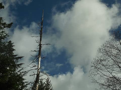 blue sky above the road in patches 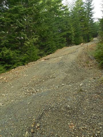 one section of road that was showing a bit more significant water damage 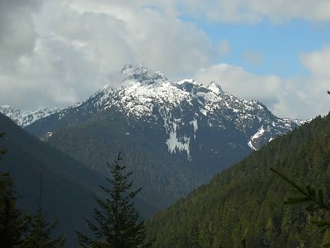 mountain view from the road 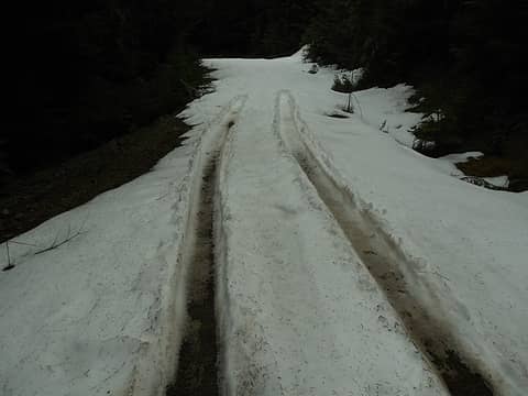 end of the line for a previous 4wd visitor 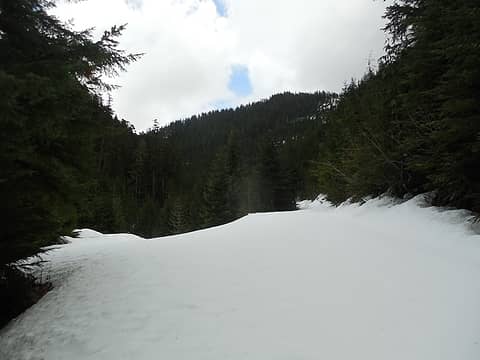 3 labels the junction of spur road -020 off of FSR 2502 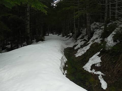 snow was bout 3-4' thick, consolidated very good for snowshoeing 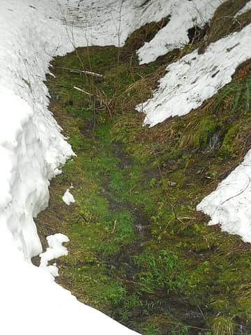 patch of spring green showing through 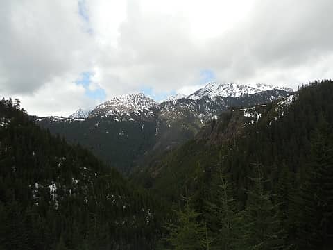 1 label looking west towards The Brothers (just out of view) 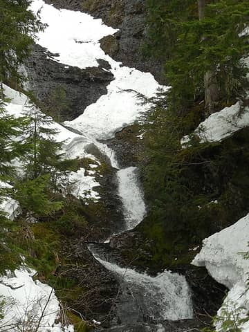 one of a couple very interesting waterfalls (this one started as a large fan across the rock above (obscured by trees) 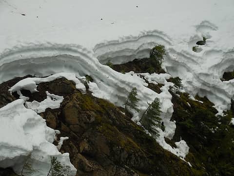 snow layers 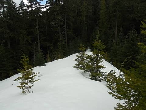 at the end of the spur road 2502-020 on a small saddle/pass 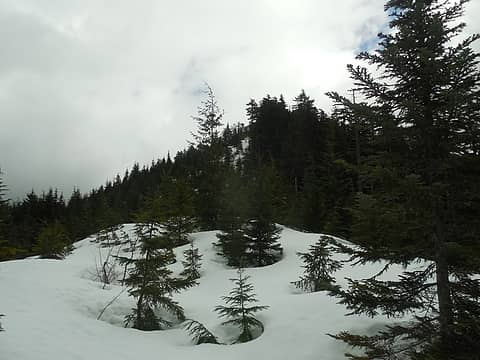 1 label looking up to the highpoint for the day 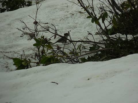 birds were my only visible companion 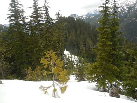 looking back down to the spur road terminus 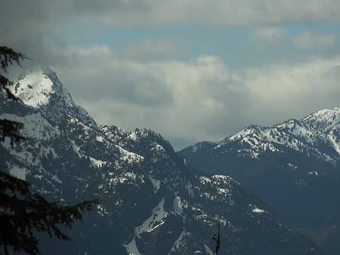 Mt Pershing? (on the left) 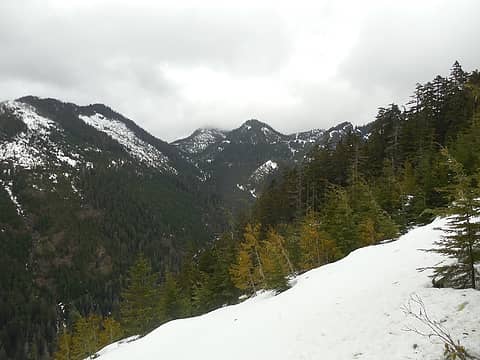 1 label looking north, FSR 2530 (from the Duckabush side) is visible at the saddle 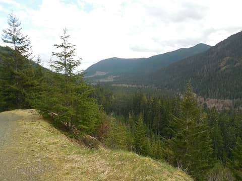 view SE on the way back down (while maneuvering across the waterbars.
*Just say NO to Rent-Seeking, don't give up the concept of "ownership"*
*Just say NO to Rent-Seeking, don't give up the concept of "ownership"*
|
| Back to top |
  
|
|
Phil
Member

Joined: 02 Jul 2003
Posts: 2025 | TRs | Pics
Location: Shoreline, WA |
|
Phil
Member
|
Tue Apr 11, 2017 6:51 am |
|
|
|
| Back to top |
|
|
EeeZee
Member
Joined: 02 Sep 2021
Posts: 11 | TRs | Pics
|
|
EeeZee
Member
|
Thu Sep 02, 2021 4:18 pm |
|
|
Glad to see someone else tried this route up West Rock! I made an attempt on this route back in February, but due to a very late start and much snow I turned back. Went back out this past weekend and parked just before the 2502-020 spur road, which is a little overgrown though you could possibly drive up it. Walked up the road for about 2.3 miles until I hit the bottom of the ridge running west to east just NW of West Rock. I know I could have cut off that long switch back by bushwhacking near the creek, but figured I'd just stick to the road. Good thing because once on the ridge the brush lower down was super dense and a tangled mess to get through, but after about 300ft or so I was able to stay in less vegetated forest by sticking to the south side just under the ridge. Hit the end of the ridge and dropped into the saddle and then went SE up steep brushy forest to get on the summit. While hanging out and signing the electrolyte tube register (left a pencil), I saw a bobcat and her two kittens on the rock just below the summit. Followed my up track until just before the worst of the brushy bottom section and then veered south and downslope to intersect the spur road. Was able to find a decent route down, though it was a bit steep and slippery. Still far preferable to fighting the brush faced on the way up.
Unfortunately I didn't take pictures on the way up...I blame the vicious rhodies. Did get a couple shots of the bobcat that make it look like I was trying to capture a bigfoot sighting. Someday I'll get a better phone...or an actual camera.
|
| Back to top |
|
|
|
|
You cannot post new topics in this forum
You cannot reply to topics in this forum
You cannot edit your posts in this forum
You cannot delete your posts in this forum
You cannot vote in polls in this forum
|
Disclosure: As an Amazon Associate NWHikers.net earns from qualifying purchases when you use our link(s). |


