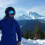
Blowdown
Sawin' Logs ...


Joined: 24 Aug 2011
Posts: 375 | TRs | Pics
Location: On the Summit |
|
Blowdown
Sawin' Logs ...
|
 Fri Sep 17, 2021 3:38 pm |
|
|
Our six-day "vacation": 66 miles, 18 passes, over 10,000 feet elevation gain and loss. Best trip ever!
This is the northernmost segment of the Pacific Crest Trail, from Harts Pass to the Canadian Border.
The borders closed, and there arent any reasonable loops, so its an out-and-back, 33 miles each way.
Typical September weather in the Pasayten Wilderness: One drizzle day, one nasty rain squall day, fog, gusty winds, frosty cold mornings, but also plenty of warm sun.
Met over 100 awesome Mexico-to-Canada PCT through-hikers on their last sprint to the goal. Champions!
Excellent trail maintenance. Overall this section is in great shape. Thanks, WTA and PCTA!
This route crosses Lakeview Ridge, 7126 feet, the highest point on the PCT in Washington.
Not including the Harts Pass starting point, the trail crosses NINE passes: Buffalo Pass, Windy Pass, Foggy Pass, Jim Pass, Holman Pass, Rock Pass, Woody Pass, Hopkins Pass, and Castle Pass. Then ALL NINE again on the way back!
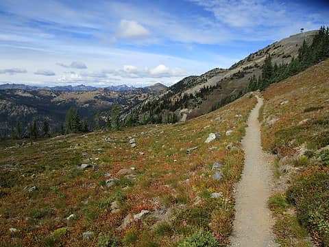 Starting out past Slate Peak Lookout 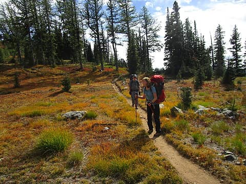 Buffalo Pass 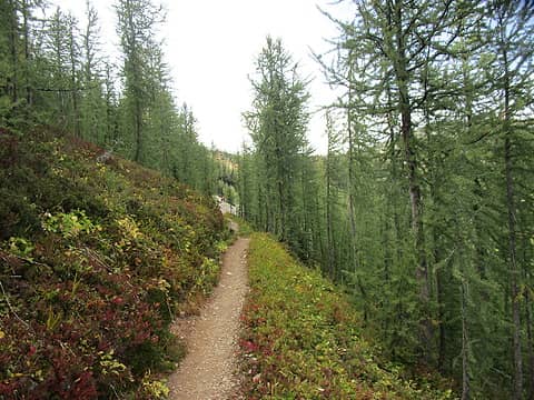 One of many Larch groves 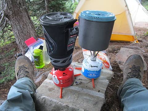 Compact camp  Burn area above Holman Pass 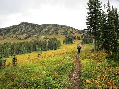 Just breathtaking! 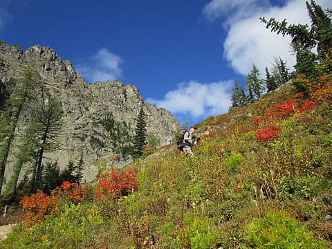 Woody Pass 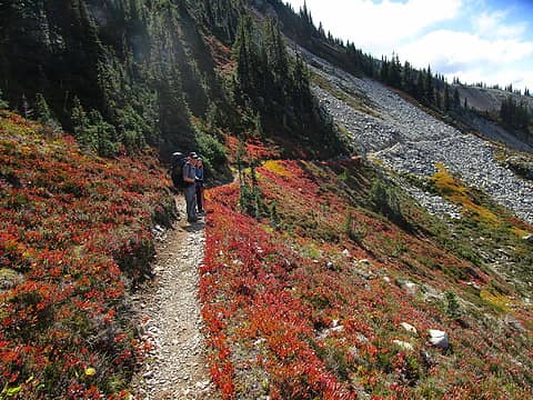 Autumn color 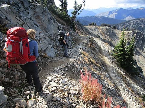 "Devil's Staircase" 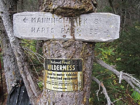 Made it to the border! 33 miles from Harts Pass! 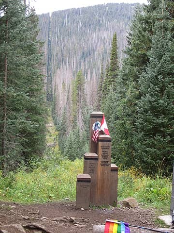 This swath through the forest runs the entire border to keep Americans out 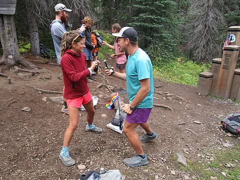 Victorious through-hikers celebrate with Champagne! 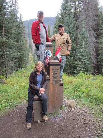 Obligatory  Monument Register 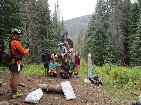 Mexico to Canada! 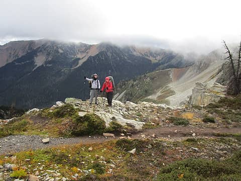 Lakeview Ridge - Highest point on the PCT in Washington 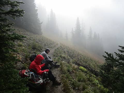 Fog  Traversing "Three Fools Peak" seemed appropriate 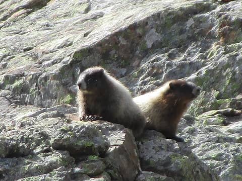 Marmots supervising our lunch spot 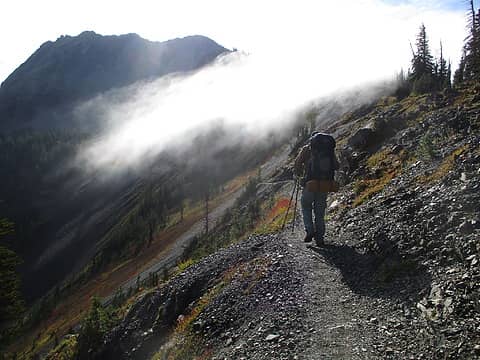 Rock Pass  Water frozen in coffee cup 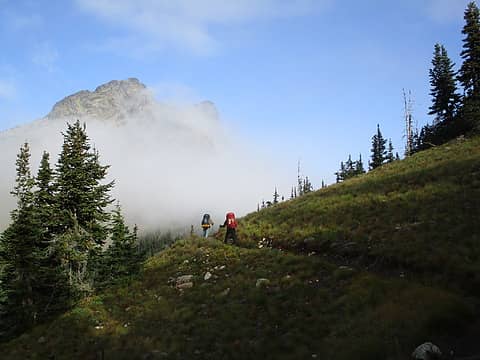 Fog and sun 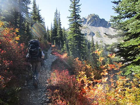 Autumn color 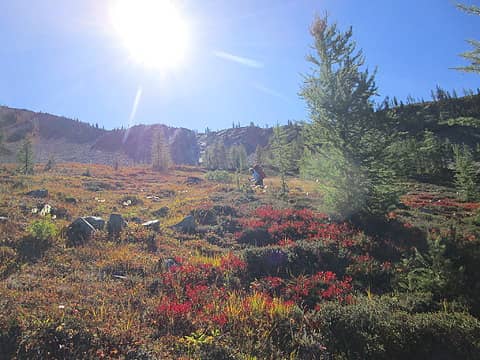 So much color!
 Snuffy, Alpine Pedestrian, jstern, Nancyann, Tom, flatsqwerl, fourteen410, reststep Snuffy, Alpine Pedestrian, jstern, Nancyann, Tom, flatsqwerl, fourteen410, reststep
Snuffy, Alpine Pedestrian, jstern, Nancyann, Tom, flatsqwerl, fourteen410, reststep |