rubywrangler
Member


Joined: 04 Aug 2015
Posts: 511 | TRs | Pics
|
4th and final installment in the spring Sierra trip series...
I had also wanted to check out the Hoover wilderness in fall 2020 but I got to the area at the same time as a huge snowstorm and just kept going south. So I was excited to spend my last few spring hiking days in the Sierra there. I was also lucky to hit it on the last weekend before permit quota season kicked in. I just had to get a self-issued permit from the ranger station in Bridgeport.
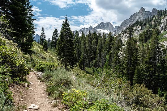
The hike started from Annett's Mono Village resort just outside Bridgeport. From the resort's hiker parking area I headed up the Horse Creek pass trail. The trail switchbacks for about 1000' and then follows the creek up to the pass which is also the boundary of Yosemite. Tons of wildflowers were blooming along the trail. Rain threatened but never really materialized. I leapfrogged with 2 guys who were daytripping Matterhorn peak until we went our separate ways near the pass.
 horse creek pass trail 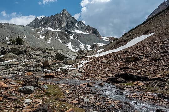 matterhorn is around the corner on the right 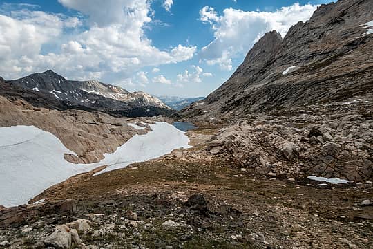 head of spiller creek 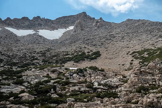 matterhorn 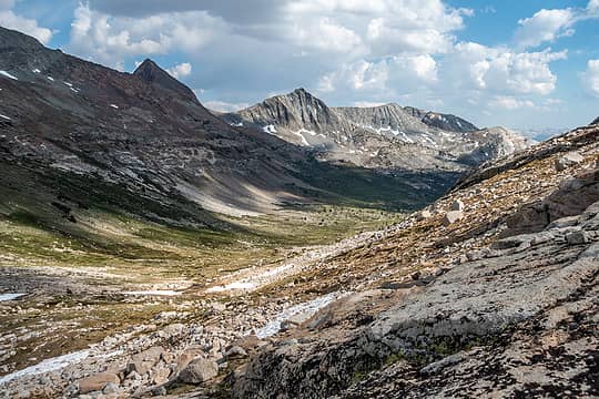 looking down valley 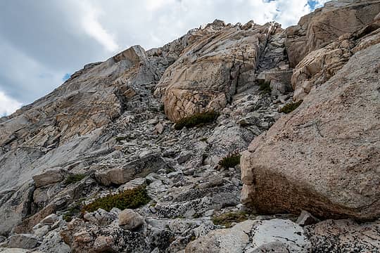 up the gully on the left 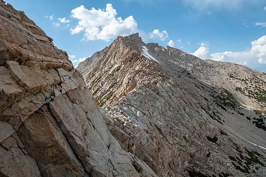 matterhorn s ridge 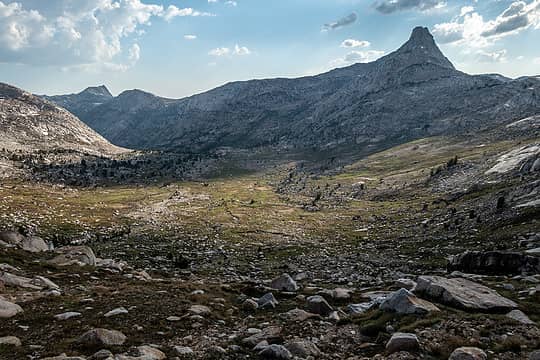 basin west of the ridge, a finger peak beyond 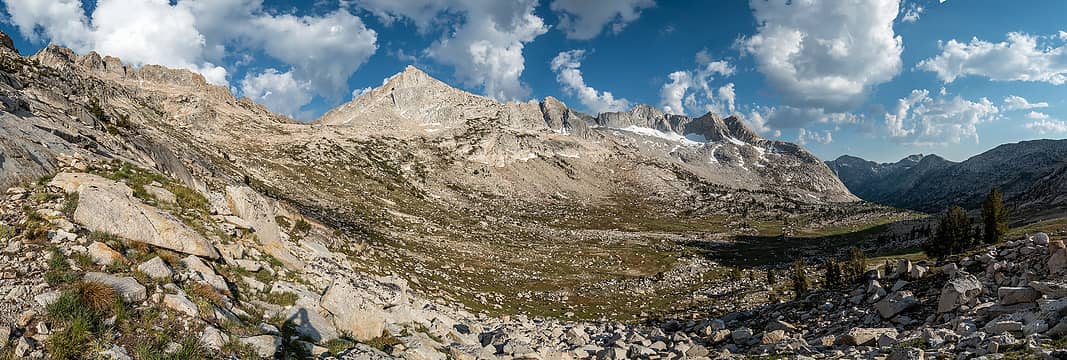 came over the saddle left of center 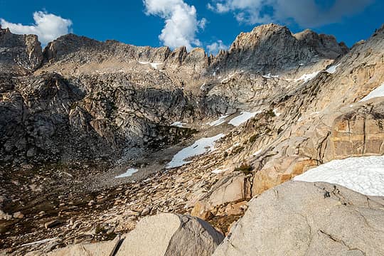 matterhorn from burro pass 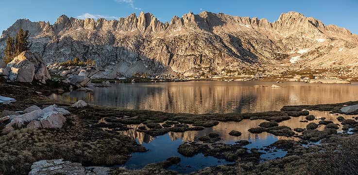 golden sawtooth ridge 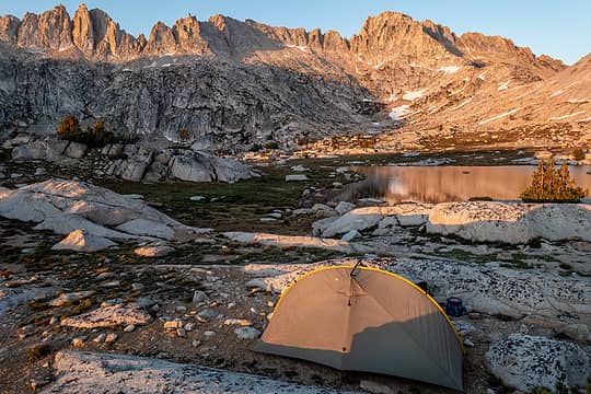 camp 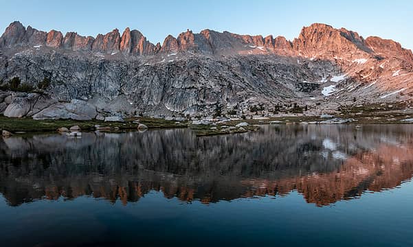 sunset 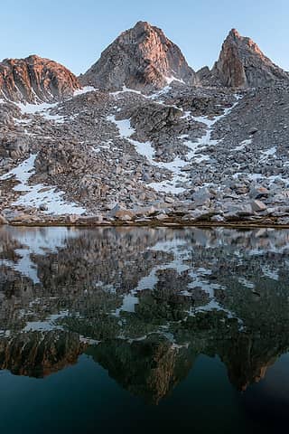 finger peaks 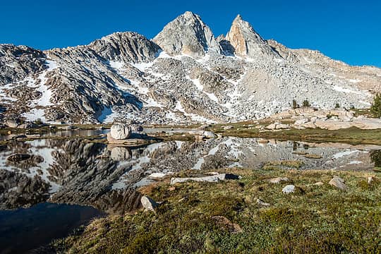 finger peaks 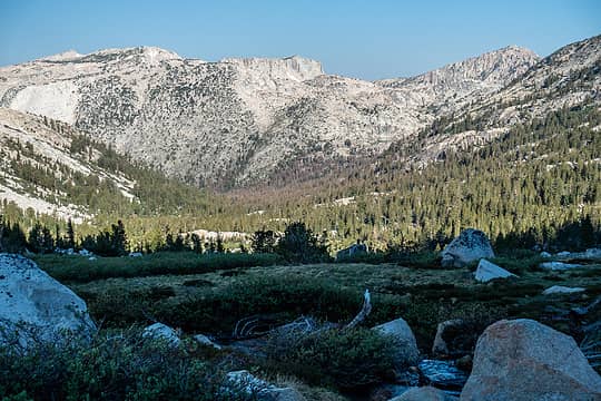 slide mtn & crown pt 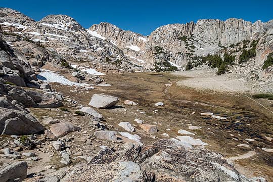 mule pass 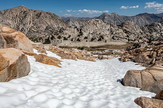 looking back toward mule pass 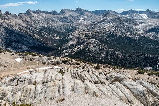 slide mtn summit view 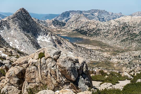 rock island lake 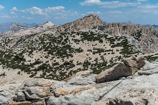 crown point 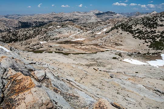 plateau 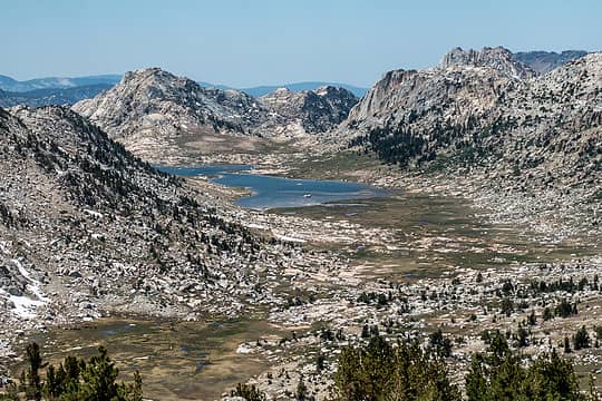 rock island lake 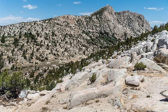 rock island pass & crown point 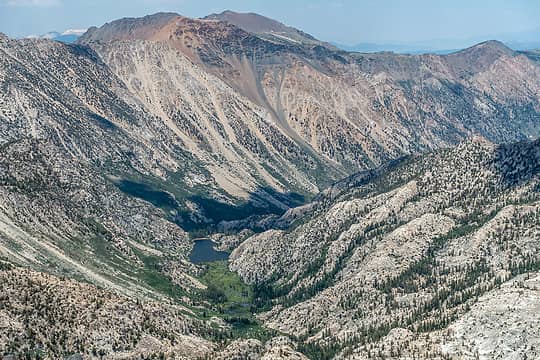 barney lake from crown pt 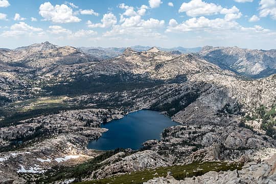 peeler lake  kerrick meadow 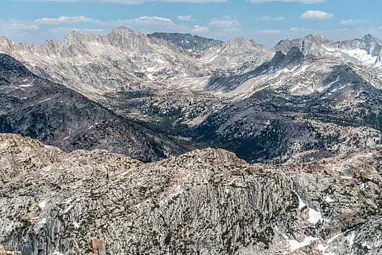 lake where i camped just barely visible in the center 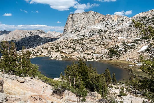 snow lake 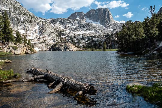 crown lake 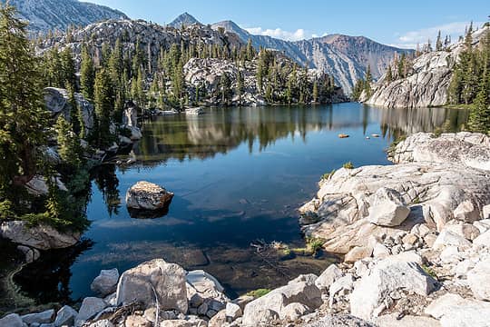 a robinson lake 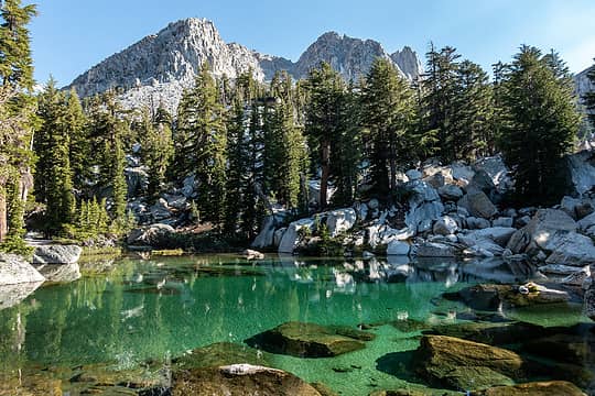 a different robinson lake 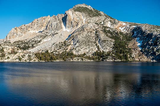 peeler lake & crown pt 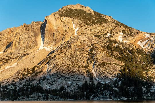 crown pt 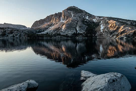 sunset 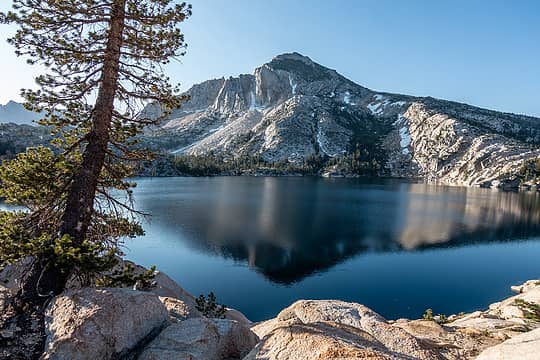 peeler & crown 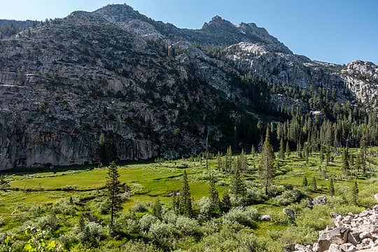 looking up valley from trail to barney lake 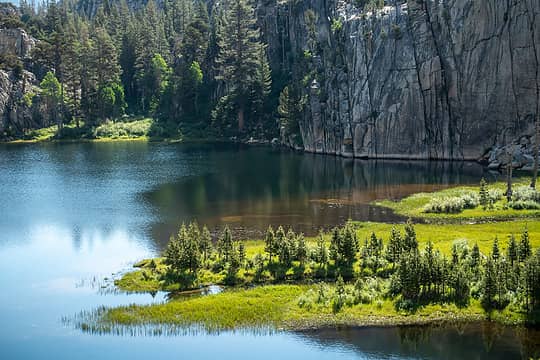 barney lake 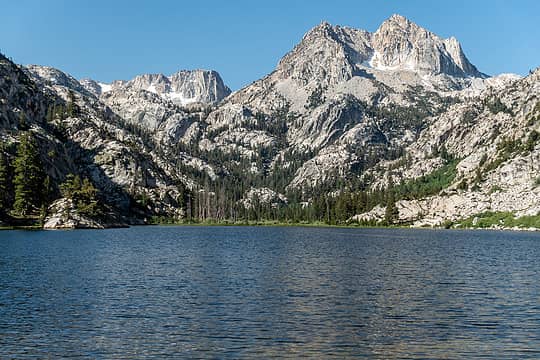 barney lake 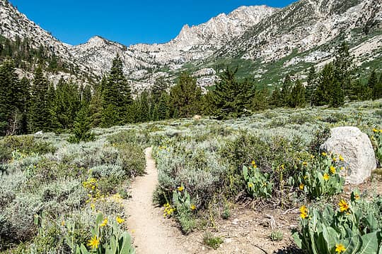 looking back
 half fast, olderthanIusedtobe half fast, olderthanIusedtobe
half fast, olderthanIusedtobe |


