Matt
Tea, Earl Grey, Hot


Joined: 30 Jan 2007
Posts: 4308 | TRs | Pics
Location: Shoreline |
|
Matt
Tea, Earl Grey, Hot
|
 Tue Apr 11, 2023 12:49 am |
|
|
Date: March 17, 2023
Destination: Round Mtn 5320 (USGS Fortson)
Party: Matt, Carla (Dicey), Don (peakjunkie), Josh
Round Mtn is located just east of Higgins and across the highway from Whitehorse. It has a surprising 4780 feet of prominence, because of its location in the "Logger's Island" of peaks surrounded by the Stillaguamish, Sauk, and Skagit Rivers.
With its wide open summit, Round makes a fine winter destination, as long as snow conditions are stable on the upper slopes. It's also a steep trip, gaining 3800 feet in 2.3 miles.
Route: Drive Swede Heaven Road and FS1890 to the washout at 1640 feet. Hike the road about a third of a mile further west. Then just go uphill in steep open forest till you get to a small closed contour connecting the Higgins and Round saddles at 4400 feet. Drop a bit across the saddle, then up the nose of Round on more open slopes to the wide summit.
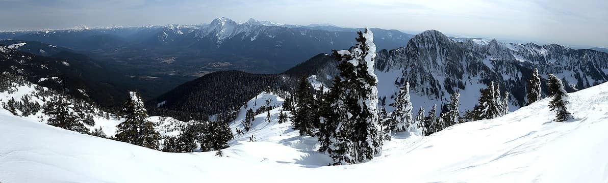 Round Mtn summit view approach ridge in the center, Whitehorse across the valley, Higgins at right 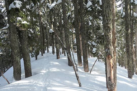 Tracks in the forest 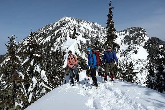 At the 4400 contour. 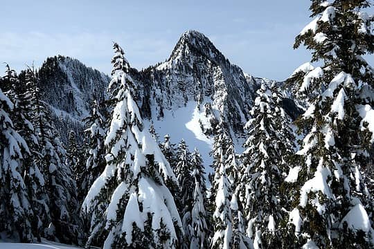 Looking across at the steep side of Higgins 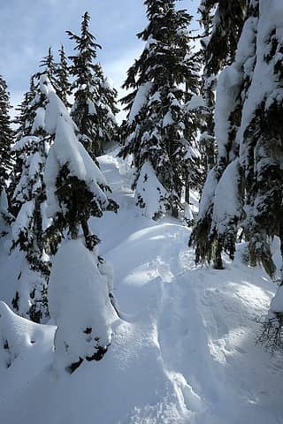 Powdery snow in the shade coming off the 4400 foot contour 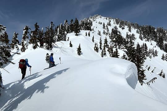 Booting uphill alongside some small cornices 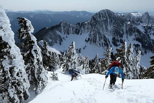 Higher up with Higgins the background 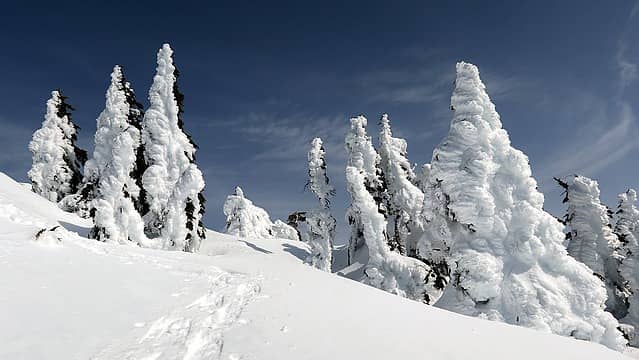 Rimed Trees 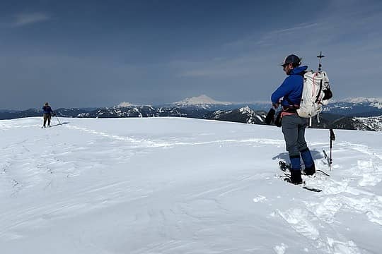 Arriving on the wide summit, with Shuksan and Baker in the distance 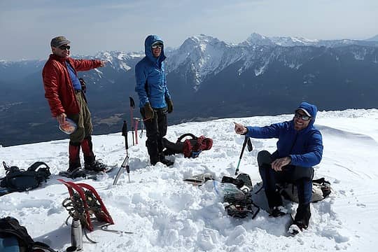 Pointing at peaks around the summit 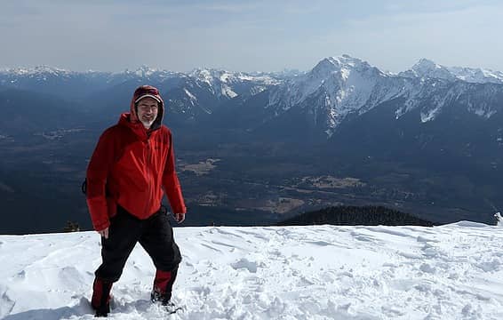 Me on the summit 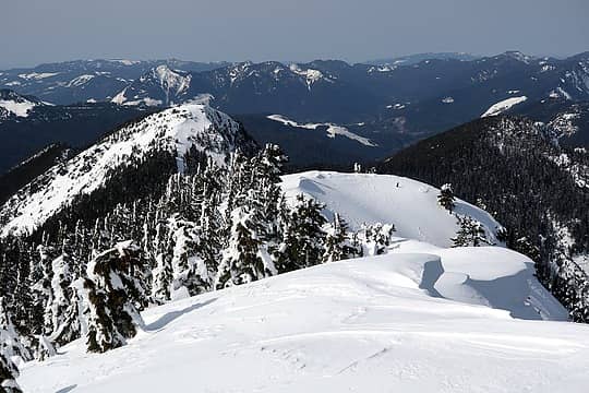 Looking off the north side to "Orbit" Mtn 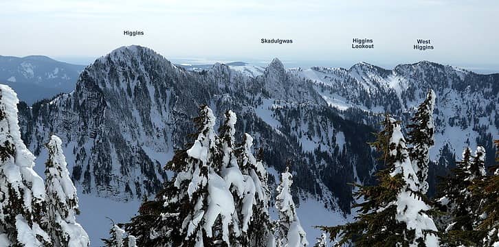 Higgins to our west 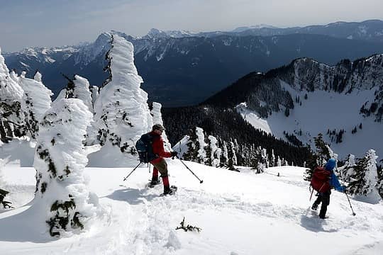 Hiking down past the rimed trees. 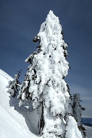 I really like snowy trees 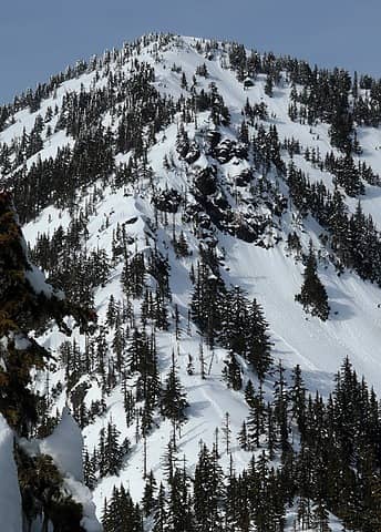 Looking back at our tracks on the upper slopes 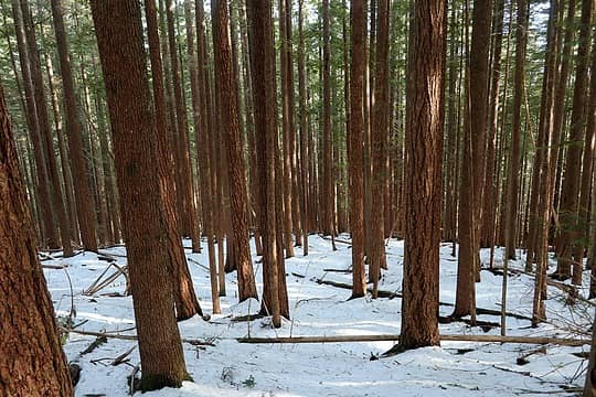 Some warm afternoon light in the lower woods.
As beacons mountains burned at evening. J.R.R. Tolkien
 Prosit, Nancyann, LukeHelgeson, ozzy, letsgobobby, awilsondc, Bramble_Scramble, neek, Cyclopath, mosey, NWtrax, jaysway, GaliWalker, Kascadia, rubywrangler, RichP, Now I Fly, reststep Prosit, Nancyann, LukeHelgeson, ozzy, letsgobobby, awilsondc, Bramble_Scramble, neek, Cyclopath, mosey, NWtrax, jaysway, GaliWalker, Kascadia, rubywrangler, RichP, Now I Fly, reststep
As beacons mountains burned at evening. J.R.R. Tolkien
Prosit, Nancyann, LukeHelgeson, ozzy, letsgobobby, awilsondc, Bramble_Scramble, neek, Cyclopath, mosey, NWtrax, jaysway, GaliWalker, Kascadia, rubywrangler, RichP, Now I Fly, reststep
|


