| Previous :: Next Topic |
| Author |
Message |
meck
Member


Joined: 31 Dec 2010
Posts: 920 | TRs | Pics
|
|
meck
Member
|
 Sun Dec 29, 2013 12:49 pm |
|
|
Trip: Royal Creek-Dungeness River Divide Ridge ONF/ONP
Date Dec 28 2013
Distance: probably greater than 8 miles RT
Elevation Gain: ~4500 feet
Bottom Line Up Front (BLUF): Road to Upper Dungeness TH in good condition as of right now, icy in a few spots around a couple of shaded curves, but otherwise very passable. The trail to Royal Basin pretty much requires traction devices for your boots. Whole sections of trail are covered with either glazed black ice or 3-5 thick slabs into which even crampons would have problems digging into. Otherwise only very minor amounts of snow (appears to be < 1 foot), even in the upper basin.
Since the weather looked to be pretty good and the precipitation has been so low, I figured it would be nice to visit some higher elevation territory that was new to me, in this case the divide between Royal Creek and the Dungeness River. IanBs and FungiFans had posted great TRs, and having scoped out the ridge from just about everywhere else in the Buckhorn (minus Warrior, Constance and Mystery) it appeared to be a great goal for the day.
Got a much later start than Id intended, leaving the Upper Dungeness TH at 10:00 am. It was icy in places along the FS road, but not bad enough that my 2wd vehicle couldnt cover it. The parking lot was completely iced over (slush that had been frozen solid).
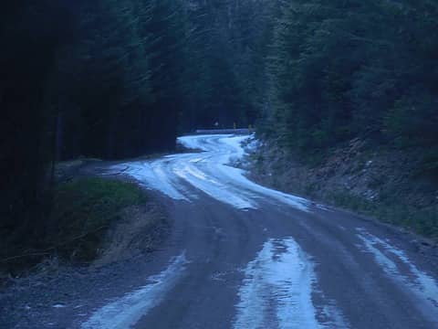 Icy Road down to the TH 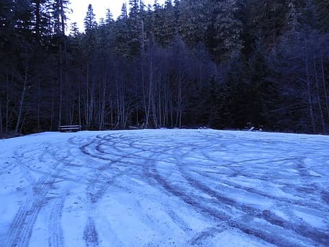 Icy Parking Lot 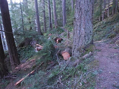 Recent log work near the start of the trail (big blowdowns) 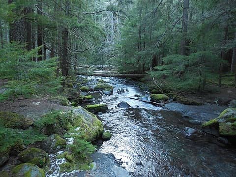 Royal Creek 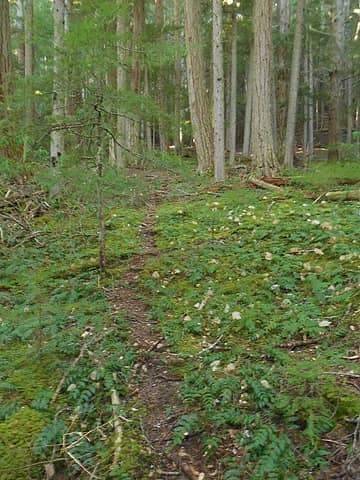 Begin the climb on game trails 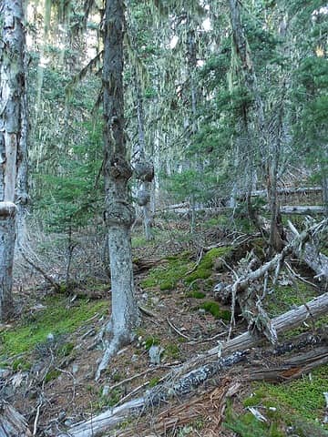 Up and up 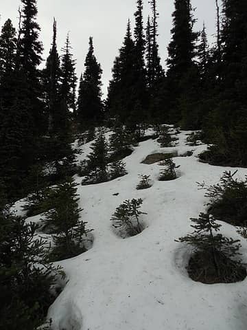 snow was not too deep, hard crust but easy to crunch through 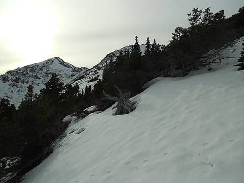 the first goal is in sight 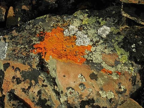 Neon orange lichen on top of the slightly lower point just north of the high point) 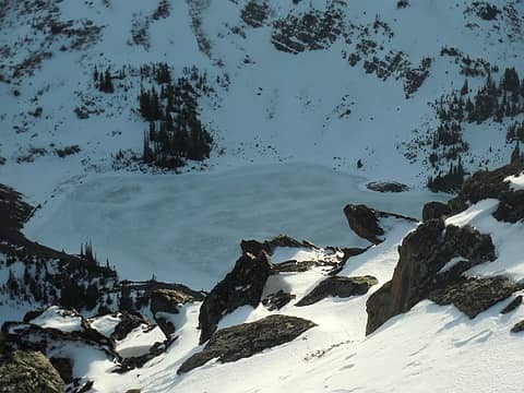 Goat Lake 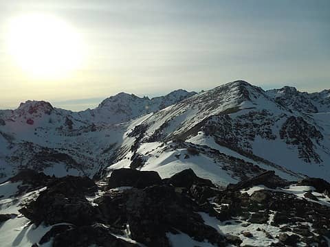 2 labels There's the highpoint for today... (North Petunia?) 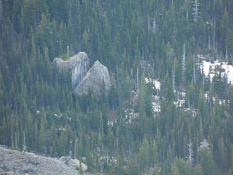 Shelter Rock in Royal Basin from the top 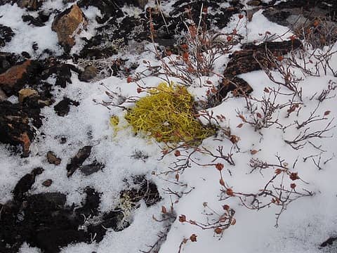 neon green lichen (picture color does not do this justice...) 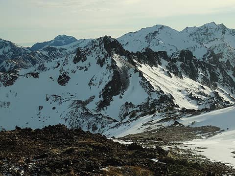 2 labels Petunia Peak (foreground), Fricaba and Hal Foss in the background 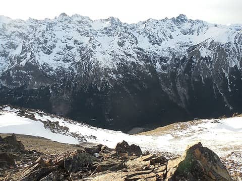 1 label The Needles (at least a portion of them) 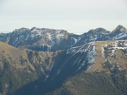 4 labels Buckhorn Pass (Copper Peak, Iron Mtn in the background) 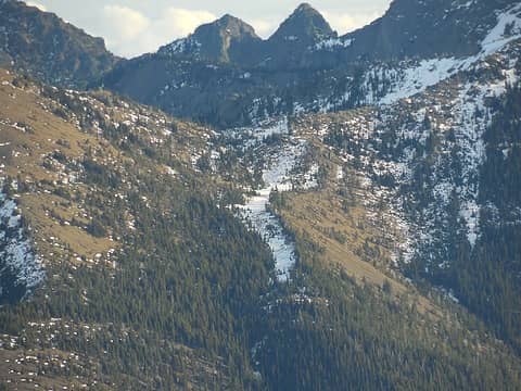 1 label Marmot Pass (Boulder Ridge in the background) 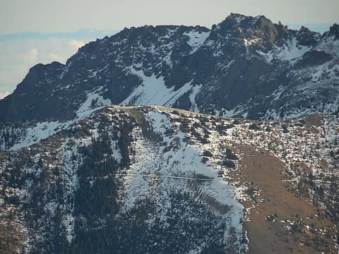 Above Marmot Pass 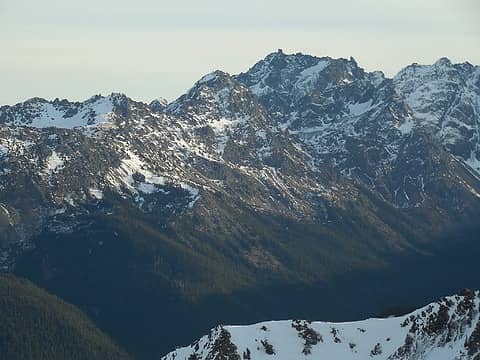 3 labels Cloudy Peak, Warrior Peak, and Mt. Constance 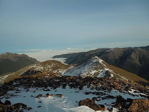 2 labels the northern "exit" down the Upper Dungeness drainage 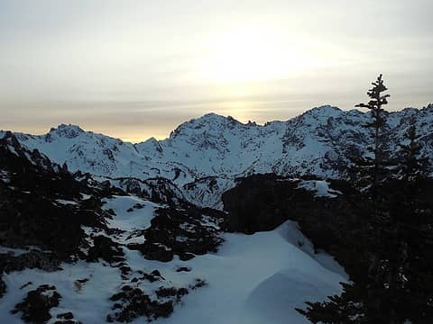 Sunset over Mt. Deception
*Just say NO to Rent-Seeking, don't give up the concept of "ownership"*
*Just say NO to Rent-Seeking, don't give up the concept of "ownership"*
|
| Back to top |
  
|
|
Alpendave
Member

Joined: 01 Aug 2008
Posts: 863 | TRs | Pics
|
Great TR and photos. Glad you could make it so far up in the high country so that you could share it with us. 
|
| Back to top |
|
|
IanB
Vegetable Belayer
Joined: 21 Jul 2010
Posts: 1062 | TRs | Pics
Location: gone whuljin' |
|
IanB
Vegetable Belayer
|
Mon Dec 30, 2013 10:30 am |
|
|
That is so amazing! Thanks so much for sharing your photos.
"Forget gaining a little knowledge about a lot and strive to learn a lot about a little." - Harvey Manning
"Forget gaining a little knowledge about a lot and strive to learn a lot about a little." - Harvey Manning
|
| Back to top |
|
|
reststep
Member
Joined: 17 Dec 2001
Posts: 4757 | TRs | Pics
|
|
reststep
Member
|
Mon Dec 30, 2013 11:23 am |
|
|
Yes, thank you for the report, photos and the update on the road.
It looks like you had a great day.
"The mountains are calling and I must go." - John Muir
"The mountains are calling and I must go." - John Muir
|
| Back to top |
|
|
|
|
You cannot post new topics in this forum
You cannot reply to topics in this forum
You cannot edit your posts in this forum
You cannot delete your posts in this forum
You cannot vote in polls in this forum
|
Disclosure: As an Amazon Associate NWHikers.net earns from qualifying purchases when you use our link(s). |


