| Previous :: Next Topic |
| Author |
Message |
Mega-Will
country bumpkin


Joined: 22 Dec 2006
Posts: 655 | TRs | Pics
Location: Olympic Peninsula |
|
Mega-Will
country bumpkin
|
 Fri Jan 02, 2015 2:46 am |
|
|
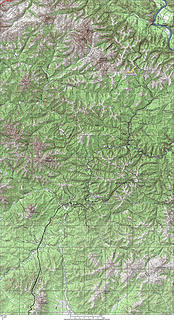
Denali National Park
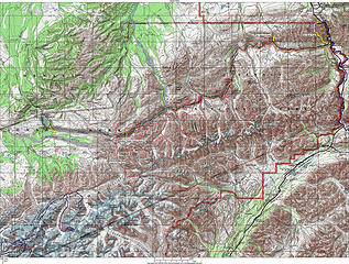 Denali Park 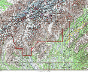 Denali South Denali Park Denali South 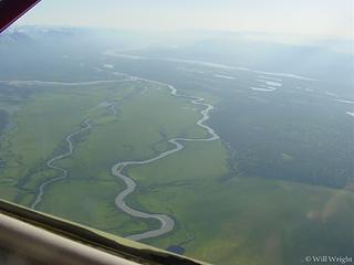 Denali flightseeing 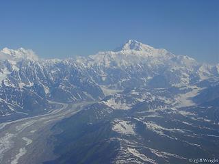 Denali flightseeing (2) 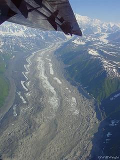 Denali flightseeing (3) 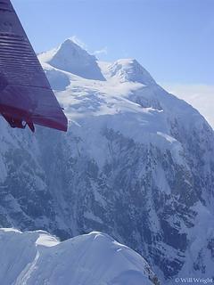 Denali flightseeing (4) 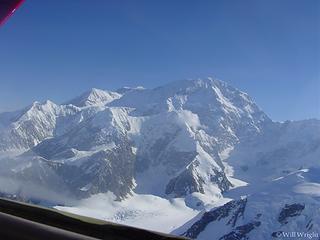 Denali flightseeing (5) 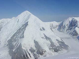 Denali flightseeing (6) 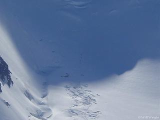 Denali flightseeing (7) 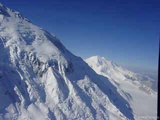 Denali flightseeing (8) 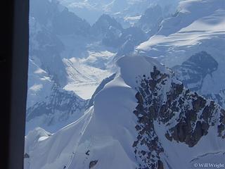 Denali flightseeing (9) 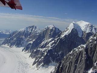 Denali flightseeing (10) 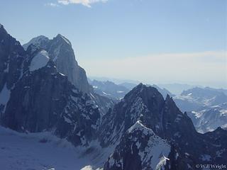 Denali flightseeing (11) 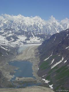 Denali flightseeing (23) 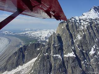 Denali flightseeing (22) 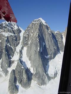 Denali flightseeing (21) 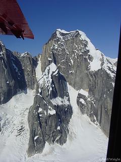 Denali flightseeing (20) 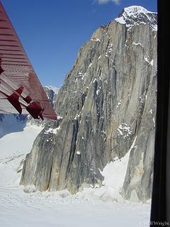 Denali flightseeing (19) 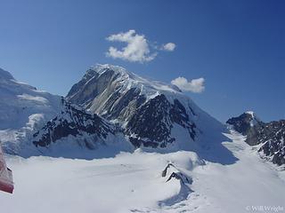 Denali flightseeing (18) 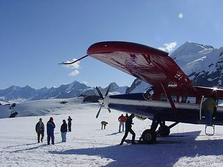 Denali flightseeing (17) 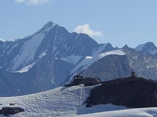 Denali flightseeing (16) 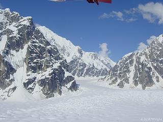 Denali flightseeing (15) 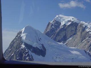 Denali flightseeing (14) 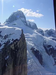 Denali flightseeing (13) 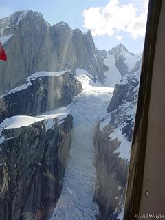 Denali flightseeing (12)  328 (2) 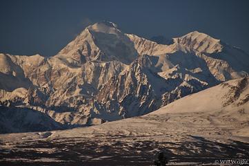 006 (5)  038 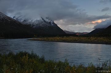 073 (6) 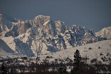 094 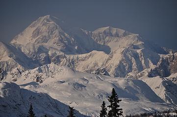 095  319 (2)  324 (2)  137 (2)  149 (2)  151  153 (2)  154  156 (3)  157 (2) 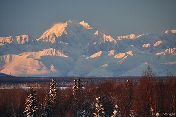 158 (3) 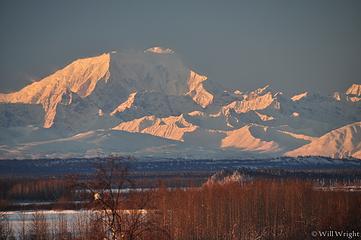 159 (3) 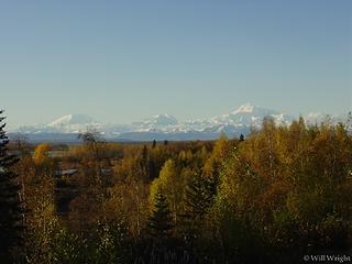 Alaska Range from Talkeetna 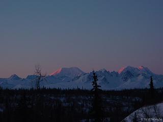 Alaska Range, Parks Highway 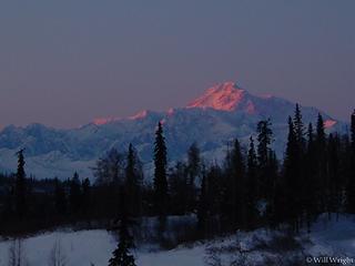 Denali from Parks Highway 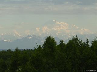 Denali from Talkeetna (2) 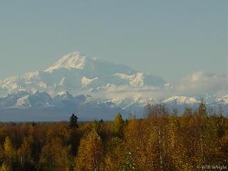 Denali from Talkeetna 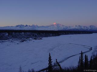 Denali near Talkeetna 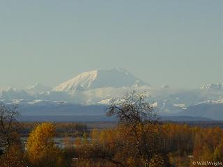 Mt. Foraker from Talkeetna 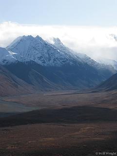 View from Denali Park Road 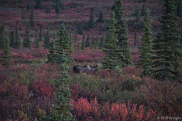 003 (4) 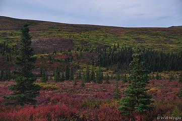 004 (3) 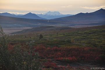 015 (3) 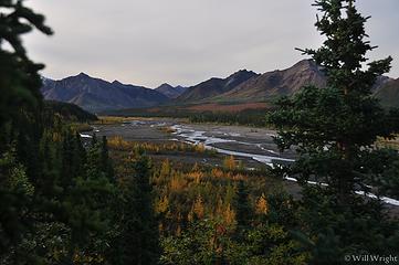 017 (5) 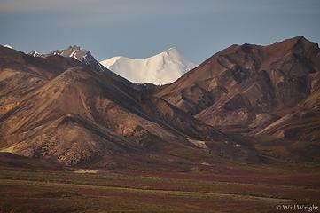 038 (2) 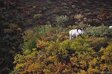 039 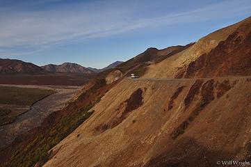 041 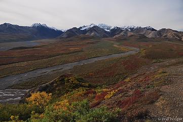 043 (2) 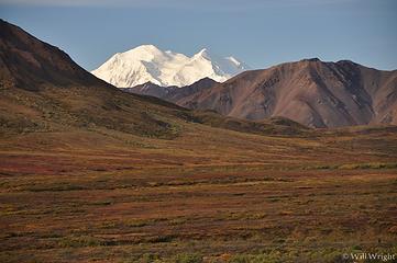 051 (3) 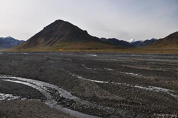 053 (4) 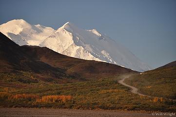 057 (2) 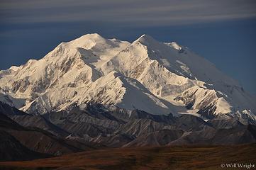 064 (2) 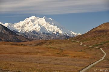 065 (3) 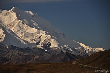 068 (2) 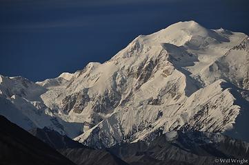 070 (2) 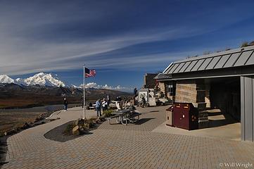 075 (3) 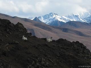 Dall sheep near Denali Park Road 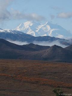 Denal from the park road 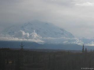 Denali from Wonder Lake 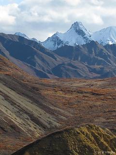 Denali Park Road (2) 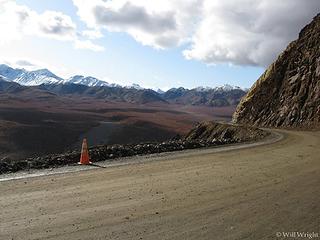 Denali Park Road (3) 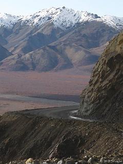 Denali Park Road (4) 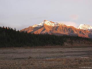 Denali Park Road (5) 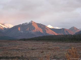 Denali Park Road (6) 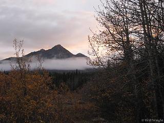 Denali Park Road (7) 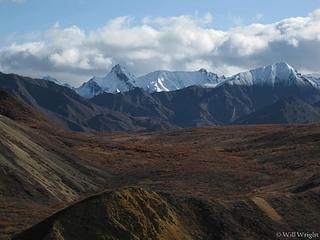 Denali Park Road 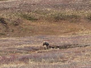 Grizzly from Denali Park Road 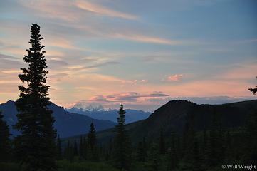 Towards Mt. Deborah, Denali Park Road 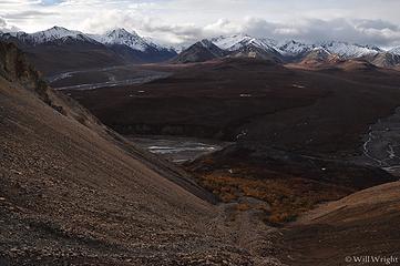 003 (3) 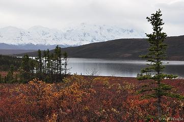 022 (2) 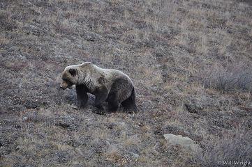 018 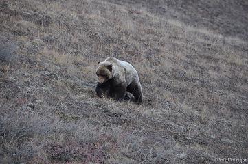 015 (2) 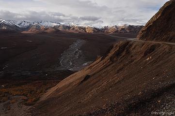 004 (4) 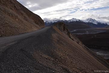 002 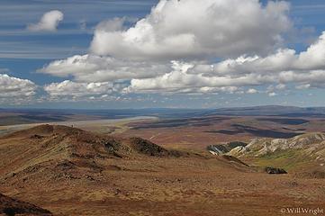 082 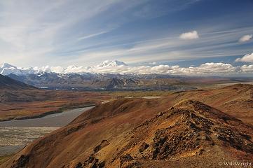 077 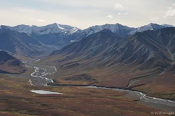 078 (3) 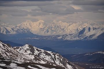 View from Primrose Ridge, Alaska Range 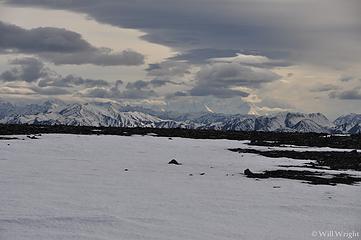 Denali from Primrose Ridge (it was very windy) 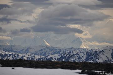 Denali from Primrose Ridge  Primrose Ridge Hike  Kesugi Ridge, near Talkeetna 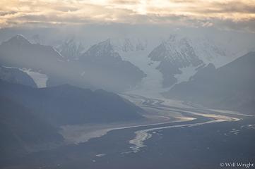 Alaska Range from Kesugi Ridge 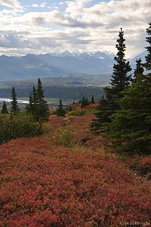 hiking on Kesugi Ridge, Denali State Park 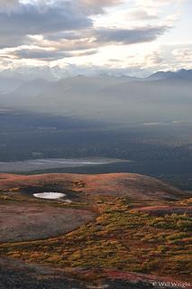 Kesugi Ridge hike (2) 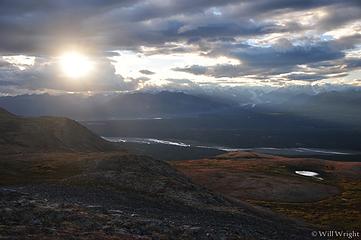 Kesugi Ridge Hike (3) 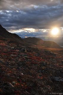 Kesugi Ridge Hike (4) 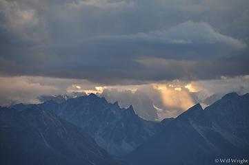 Kesugi Ridge hike (5) 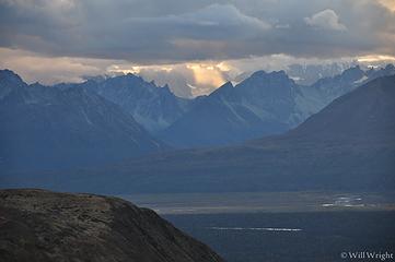 Kesugi Ridge Hike (6) 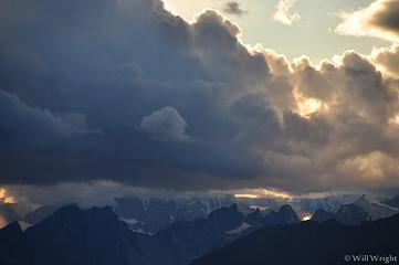 Kesugi Ridge Hike (7) 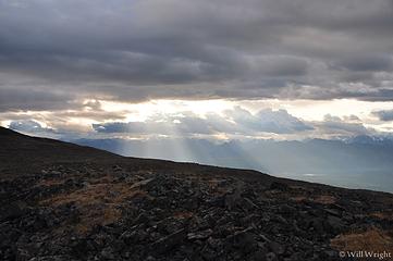 Kesugi Ridge Hike, Parks Highwa 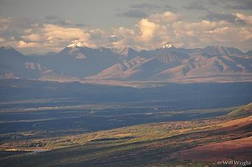 Kesugi Ridge Hike
|
| Back to top |
  
|
|
Mega-Will
country bumpkin
Joined: 22 Dec 2006
Posts: 655 | TRs | Pics
Location: Olympic Peninsula |
|
Mega-Will
country bumpkin
|
Fri Jan 02, 2015 2:47 am |
|
|
Far Eastern Alaska Range
Even further off the beaten path than the Richardson Highway corridor through the Eastern Alaska Range, the Tok Cutoff and a portion of the Alaska Highway pass through wild, beautiful mountain country that sees very little recreational traffic. Blocked from the coast by both the Chugach and Wrangell Mountains to the south, this region has one of the dryest climates in the state, along with some of the most extreme summer - winter temperature extremes. The town of Tok receives only 8 inches of precipitation in an average year. Due to the lack of violent weather systems, summer snow line and treeline are relatively high, and the ranges here are somewhat reminiscent of the rocky mountain states. When bad weather plagues much of the state, this is often the place to be. Just don't expect anything resembling infrastructure. This is where you come to explore, not to follow the paths of others. The advantage to this is that you don't have to worry so much about impact. Have you ever wanted to practice bushcraft skills in a remote environment? This is the place.
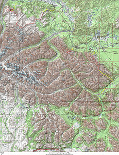
Though it's at the top of my list to explore further, there is much about this area that I don't know yet. On the map below, I've marked trailheads that I've come across, though I don't know exactly where the trails go. Have fun!
 Far Eastern Alaska Range Far Eastern Alaska Range 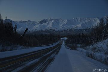 002 (2) 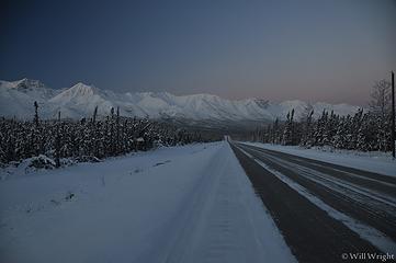 006 (2) 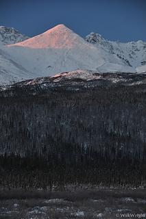 018 (9)  019  023 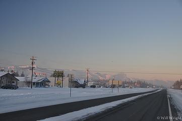 031 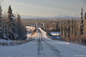 037  039 (3)  Johnson River Bridge, between Delta and Tok 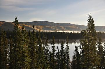 Tanana River near Tok (2) 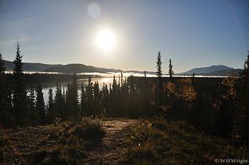 Tanana River near Tok
|
| Back to top |
|
|
Mega-Will
country bumpkin
Joined: 22 Dec 2006
Posts: 655 | TRs | Pics
Location: Olympic Peninsula |
|
Mega-Will
country bumpkin
|
Fri Jan 02, 2015 2:48 am |
|
|
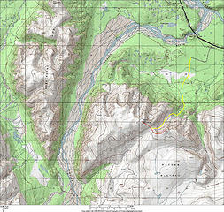
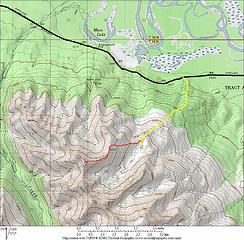
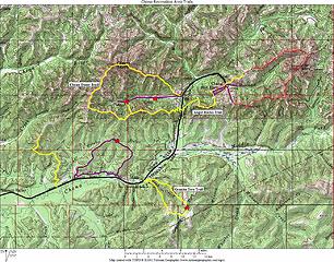
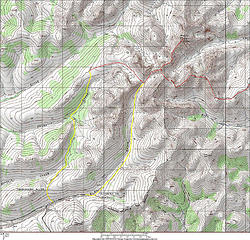
MacComb Plateau
A single track trail that climbs from the Delta area Tanana lowlands directly up into the rocky, alpine expanse of the eastern Alaska Range? I was certain no such trail existed for years but lo and behold, behind the Dry Creek religious commune, horsepacking hunters have built just such a trail. It makes an excellent hearty dayhike or an even better overnighter. And with the open, alpine country this trail accesses, who knows what sort of trips could start here?
Getting to the trailhead isn't too tough once you know where to go. About 43 miles southeast of Delta Junction along the Alaska Highway, and not too far past the Johnson River bridge, there is a road with some mailboxes to the south, perhaps signed 'Dry Creek.' Follow this for a little ways until you see an airstrip off to the right (doubles as a shooting range for locals). Take a look for approaching planes and drive right down the strip to the far end and find an out of the way spot to park near the trees at the edge. The trail starts off wide and rocky, heading south from the end of the airstrip. Keep right at a junction, and eventually you'll find yourself walking through some grassy, boggy areas. Waterproof boots are desireable here. The trail then climbs through thicker forest and some blowdowns must be negotiated. There's a campsite next to Dry Creek shortly before the trail (now narrow, single track) enters the subalpine and climbs more steeply. Eventually come to a nice view above a brushy canyon. This marks a decent turnaround for a dayhike. The trail continues, switchbacking down into the canyon and then back up the other side, climbing incessantly through higher tundra up a minor valley to a pass. This is the edge of MacComb Plateau and the change in scenery before you is startling. The high, icy peaks of the Alaska Range rise beyond a large, surprisingly flat grassy expanse that could double for the arctic. And like the arctic, much of the plateau is boggy, but there is good dry wandering both left and right up into higher country studded with picturesque rock outcrops.
Round Trip: about 11 miles to the edge of the plateau
Elevation Gain: 3200ft.
 Macomb Plateau 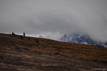 051 (2) 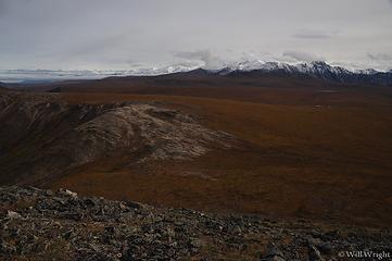 056 (4) 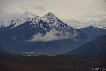 067 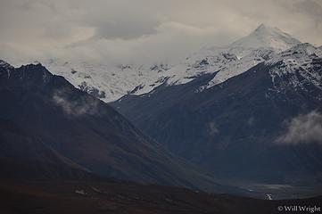 069 (3) 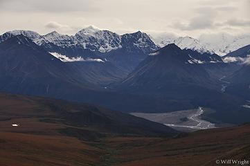 070 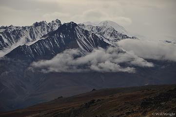 074 (3) 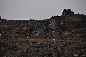 094 (3) 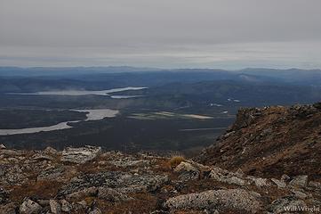 098 (3) 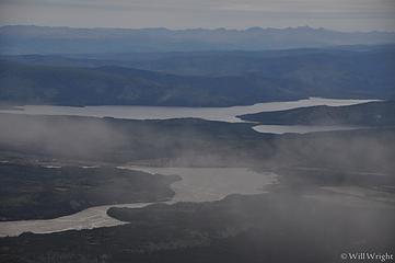 105 (3)  110 (3)  114 (2)  125  173 (3) 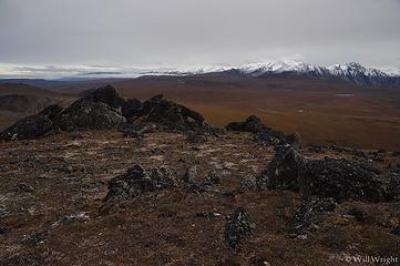 165 (2) 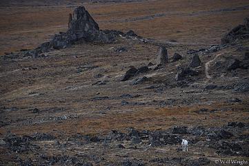 160 (3) 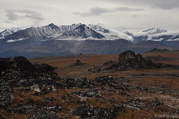 157 (2) 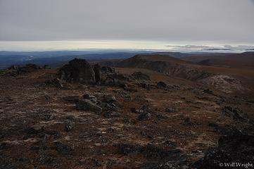 154 (2) 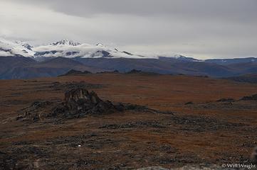 149 (3) 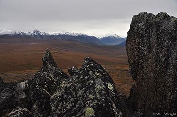 145 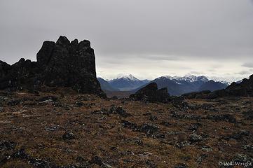 139 (2) 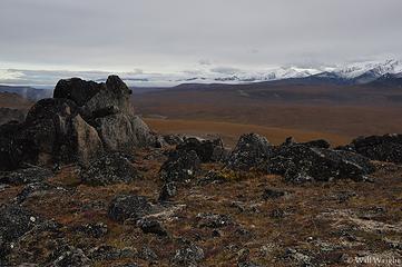 135 (2) 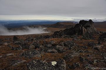 134 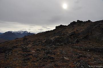 131 (2) 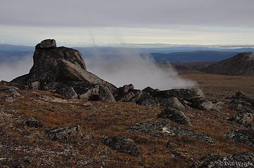 129  175 (3)  177 (2)  178 (2)  179  184 (3) 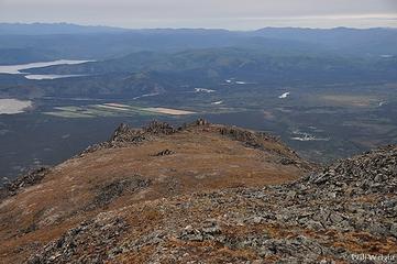 188 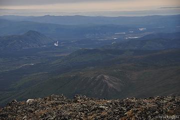 193 (2)  195 (2) 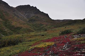 203  212  215  219 (3)  223 (2)  011 (4)  015 (3)  020 (3)  028 (2) 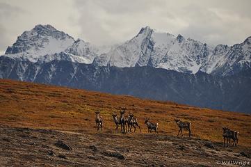 035 (3) 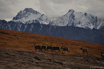 037 (3) 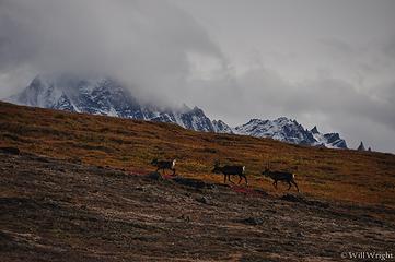 044 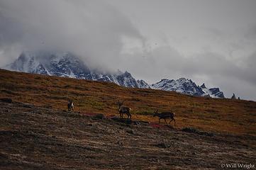 045 (3)  049
|
| Back to top |
|
|
Mega-Will
country bumpkin
Joined: 22 Dec 2006
Posts: 655 | TRs | Pics
Location: Olympic Peninsula |
|
Mega-Will
country bumpkin
|
Fri Jan 02, 2015 2:48 am |
|
|
Cathedral Rapids
I only call this hike Cathedral Rapids because it begins at that named feature along the Tanana River, about 20 miles northwest of the town of Tok. The hike begins from a prominent communications tower accessed by a gravel road, and leads into rugged mountainous country without any named features. The last time I was there, I had to scout around a bit for the faint trail that leads up the hill (somebody had plopped a brush pile right at the beginning). This trail is a barely used 4-wheeler path that looks like its been cut in only recently. It is very rough, even for walking, and the mossy black spruce forest underlain by permafrost is very buggy in summer. Near tree line, the trail drops a bit and the temptation is to keep heading up through the low dwarf birch shrubbery. Ive done that, and the shrubs make walking difficult enough that I recommend keeping to the trail as it sidehills. Soon, youll find yourself under a steeper slope with some lichen-y talus areas. Ascend this slope, avoiding the brush as much as possible. From the top, the hike is mostly on easy walking dryas tundra, then talus and scree as you head higher. The ridge to follow is obvious from this point, and has only one excessively steep section (tough, not dangerous). I went only as far as the first prominent ridge bump (bring lots of water), but looking at the map after that made me regret not going a little further, as point 6660 is on the main divide and would have offered a much better view.
Round Trip: 8 miles (can turn back earlier)
Elevation Gain: 4900ft.
 Cathedral Rapids  Cathedral Rapids Hike  Cathedral Rapids Hike, Tok (2) 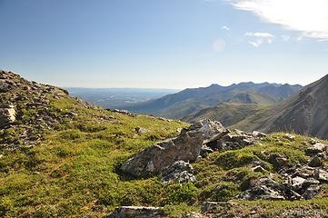 Cathedral Rapids Hike, Tok (3) 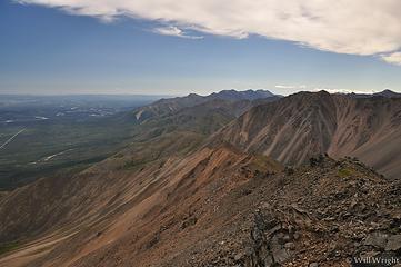 Cathedral Rapids Hike, Tok (4) 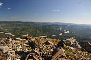 Cathedral Rapids Hike, Tok
|
| Back to top |
|
|
Mega-Will
country bumpkin
Joined: 22 Dec 2006
Posts: 655 | TRs | Pics
Location: Olympic Peninsula |
|
Mega-Will
country bumpkin
|
Fri Jan 02, 2015 2:49 am |
|
|
Tok Lakes
Ok, so truth be told, I don't know what to call this hike. No features in the basin are named on the USGS maps, and I haven't bothered to ask in Tok about local names. In any case though, the hike described is a fantastic, relatively short trip up into a gorgeous alpine basin dotted with tarns. In this part of Alaska where we're practically still stuck in the ice age, glacier carved cirque lakes are surprisingly rare, so this is a real gem.
The trailhead is a little obscure (remember, no trails out here are signed...) About 15 miles north of Tok, the Alaska Highway will leave the burned flats as it approaches the mountains. Quickly, there will be a turn onto a gravel road on the left. The road is not really driveable, so park as soon as there's room on the left. Walk down the road about an eighth of a mile and there will be a barely noticeable two track trail on the right. Surprisingly, this keeps going, all the way up into the alpine. There are no turnoffs to distract you, so enjoy the rocky boreal spruce forest as it climbs up into the mountains. There are a couple boggy sections, but nothing bad by interior Alaska standards. When I hiked it in the fall of 2013, about 1/3 of the trail had been cleared after a major windstorm. The rest was easy to hike with branches lopped off and a couple flagged detours. There's even a makeshift bridge across the creek about half way up. Eventually, the trail climbs through the shrubby subalpine and then into the strikeingly beautiful cirque. There is a tarn off to the left, near the mouth of the cirque, or one may easily continue up to the right. There is a good viewpoint from a bench several hundred feet up, but it appears easy to continue on up, probably even up as high as the craggy divide behind the cirque.
Round Trip: 5 miles to the cirque, about 8.5 miles to the peaks above.
Elevation Gain: 2140ft. to cirque, 4000ft. to the peaks.
 Tok Lakes 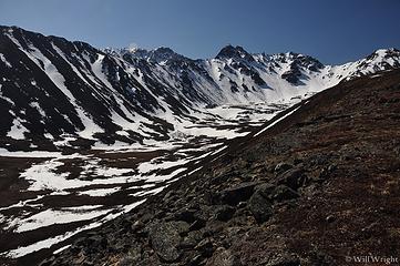 021 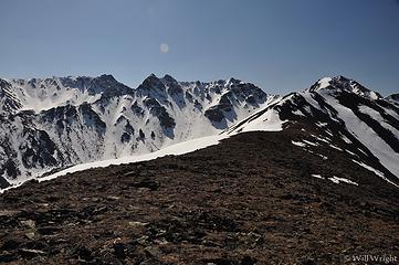 026 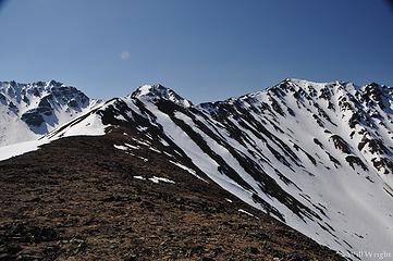 030 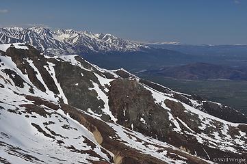 033 (2) 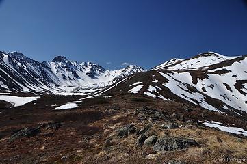 009 (2)
|
| Back to top |
|
|
Mega-Will
country bumpkin
Joined: 22 Dec 2006
Posts: 655 | TRs | Pics
Location: Olympic Peninsula |
|
Mega-Will
country bumpkin
|
Fri Jan 02, 2015 2:50 am |
|
|
Denali Highway
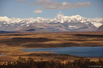 Denali Highway (15) 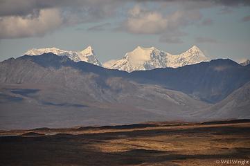 Denali Highway (16) 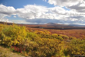 Denali Highway (17) 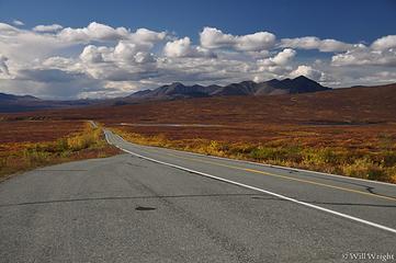 Denali Highway (18) 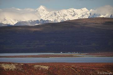 Denali Highway (19) 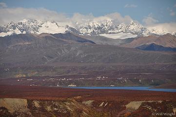 Denali Highway (20) 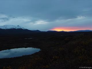 Denali Highway (21)  Denali Highway (22)  Denali Highway (23)  Denali Highway in spring  Denali Highway, Susitna River 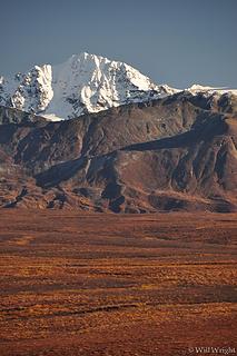 Institute Peak from near Paxson 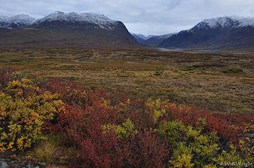 178 (3)  186 (2) 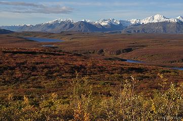 069 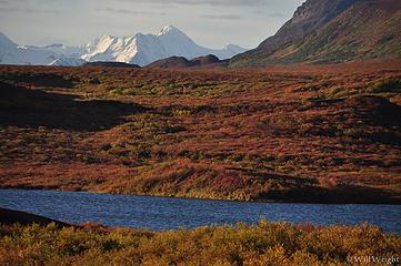 076 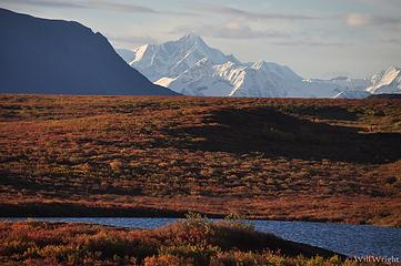 075 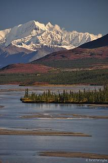 Susitna River, Denali Highway (2) 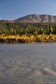 Nenana River, Denali Highway 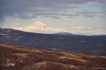 Mt. Sanford from the Denali Highway 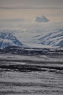 Mt. Hayes from the Denali Highway 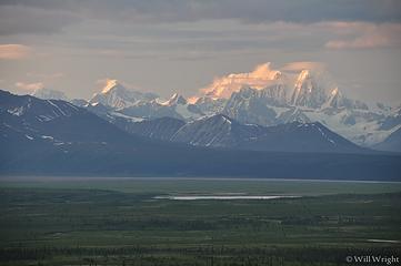 Mt. Hayes from McLaren Summit 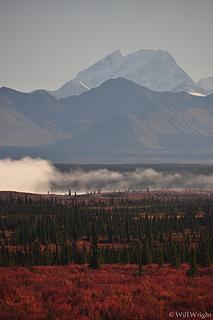 Mt. Deborah, Denali Highway 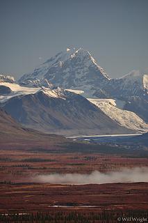 Mt. Deborah, Denali Highway (2) 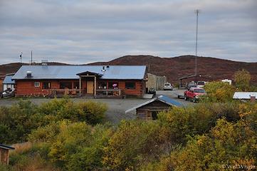 167 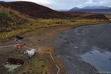 163 (3) 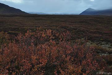 159 (3) 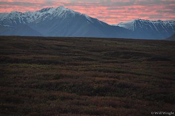 146 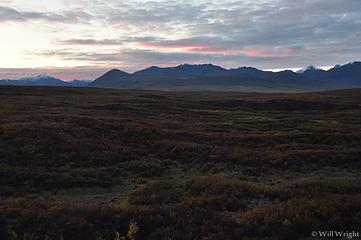 138 (3) 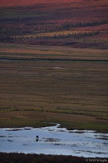 115 (2) 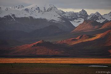 107 (2) 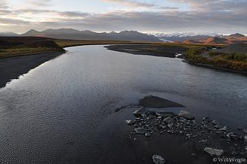 099 (3) 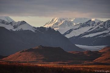 095 (2) 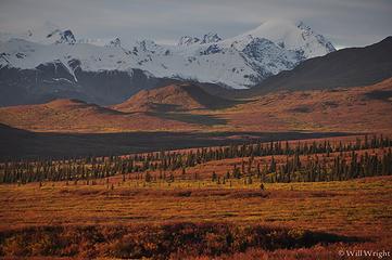 097 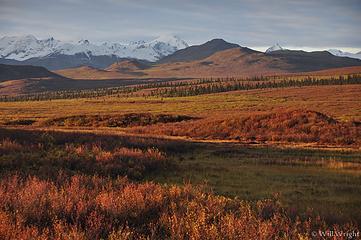 090 (2) 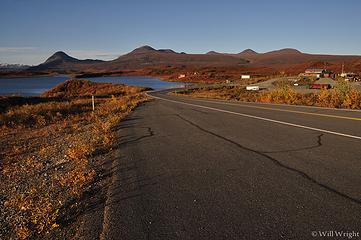 084 (2) 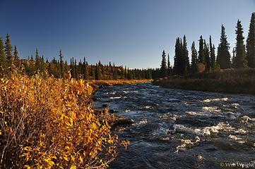 096 (4) 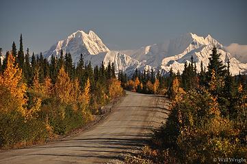 099 (5) 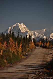 100 (9) 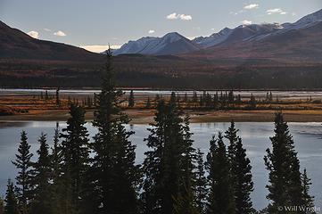 107 (6) 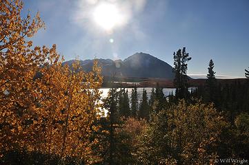 108 (4) 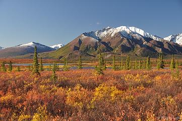 111 (4) 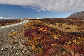 121 (3) 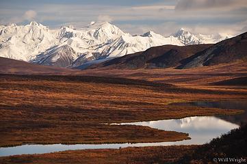 131 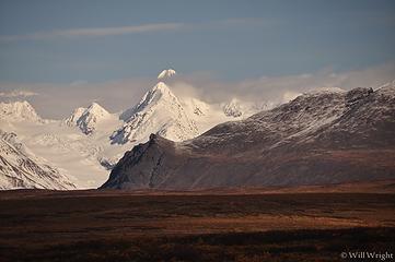 144 (6) 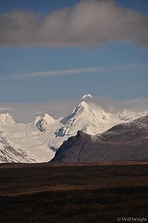 149 (5) 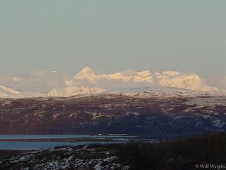 Alaska Range from Denali Highway (2) 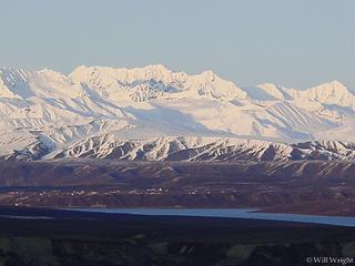 Alaska Range from Denali Highway (3) 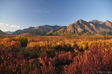 Denali Highway (2) 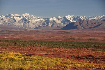 Denali Highwa 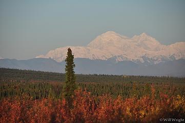 Denali from Denali Highway 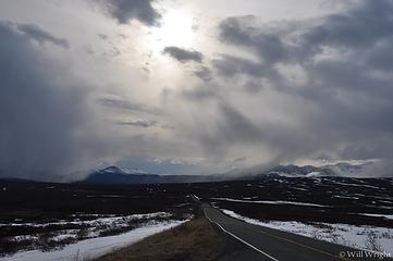 Along the Denali Highway in spring 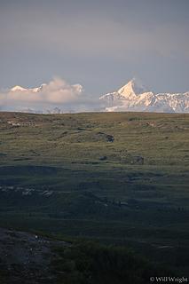 Alaska Range from the Denali Highway 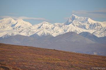 Alaska Range from near Paxson 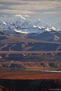 Alaska Range from near Paxson 6 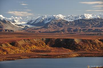 Alaska Range from near Paxson 5 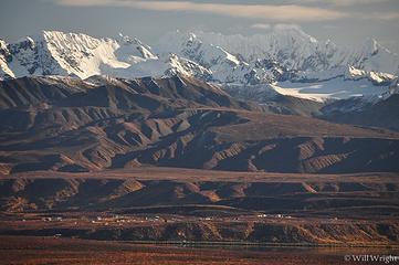 Alaska Range from near Paxson 4 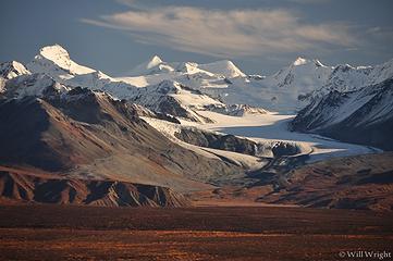 Alaska Range from near Paxson 3 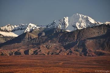 Alaska Range from near Paxson 2 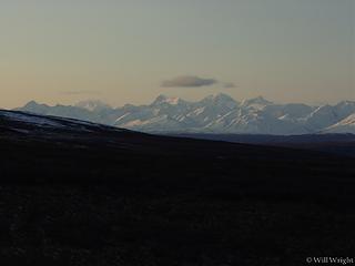 Alaska Range from Denali Highway 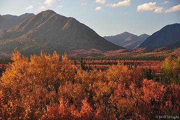 Denali Highway (3) 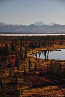 Denali Highway (4) 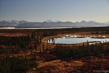 Denali Highway (5) 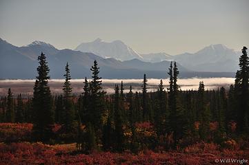 Denali Highway (6) 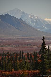 Denali Highway (7) 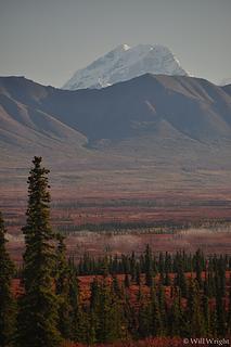 Denali Highway (8) 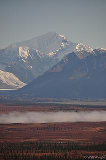 Denali Highway (9) 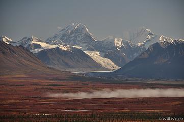 Denali Highway (10) 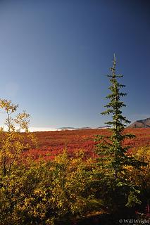 Denali Highway (11) 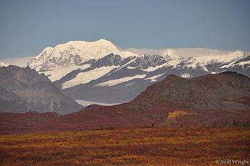 Denali Highway (12) 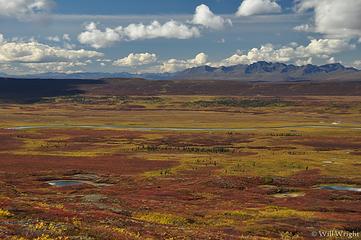 Denali Highway (13) 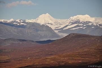 Denali Highway (14) 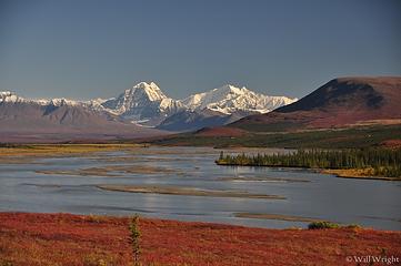 Susitna River, Denali Highway 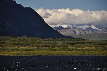 007 (4) 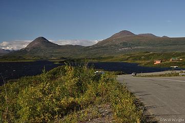 008  011 (2)  011 (5)  013 (2)  016 (2) 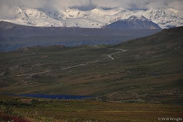 016 (3) 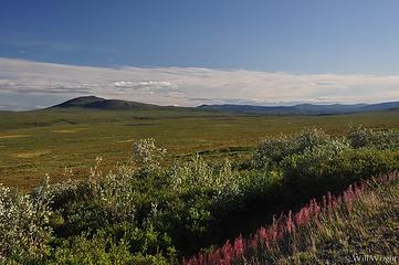 018 (2) 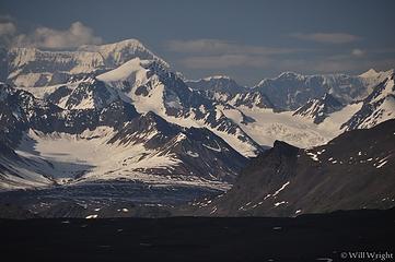 020 (2) 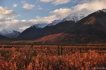 084 (5) 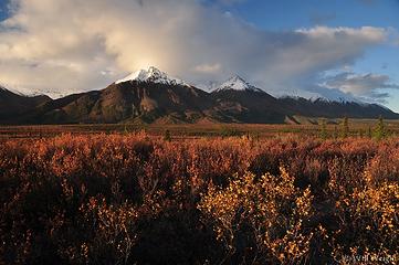 078 (5) 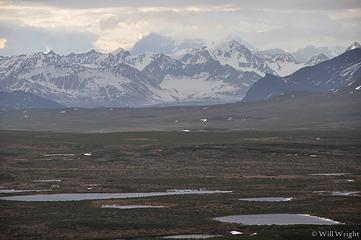 065 (2) 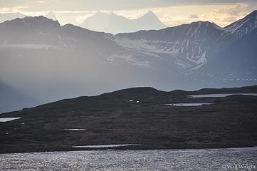 063 (3) 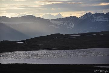 062 (2)  060  053 (2)  052  031 (4) 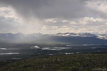 023 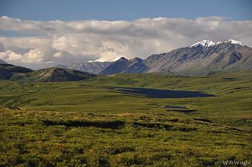 023 (2) 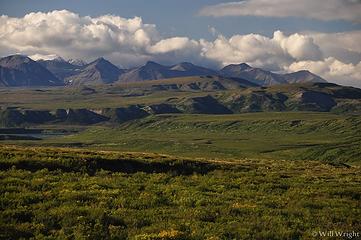 022 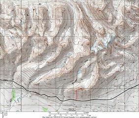 Clearwater Mountains
|
| Back to top |
|
|
Mega-Will
country bumpkin
Joined: 22 Dec 2006
Posts: 655 | TRs | Pics
Location: Olympic Peninsula |
|
Mega-Will
country bumpkin
|
Fri Jan 02, 2015 2:51 am |
|
|
Haines, Skagway
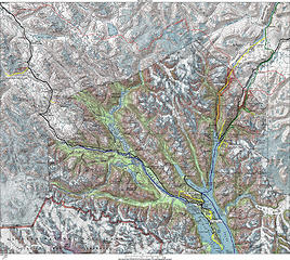 Haines and Skagway Haines and Skagway 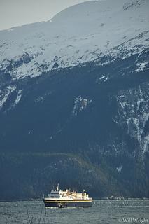 306 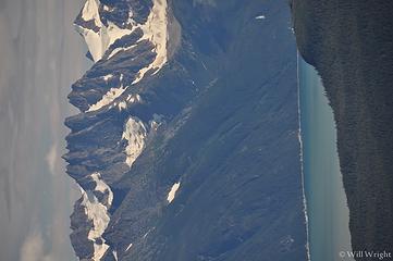 029 (2) 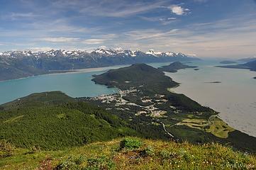 034 (4) 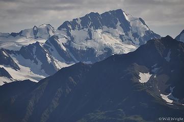 042 (3) 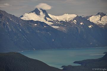 045 (2) 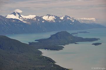 046 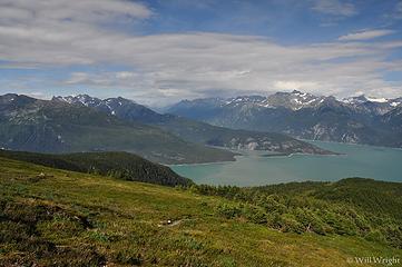 052 (2) 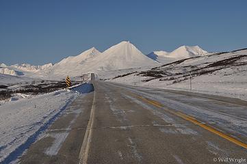 139 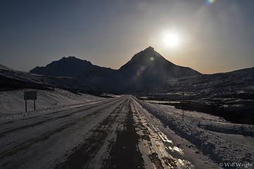 142 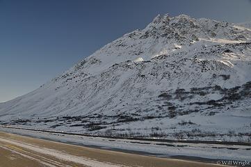 146 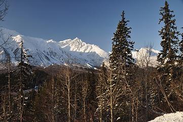 159 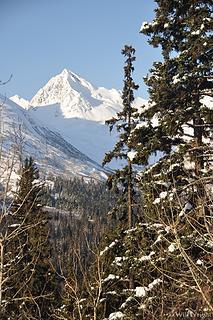 165 (3) 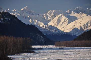 173 (2)  175 (2)  180 (3) 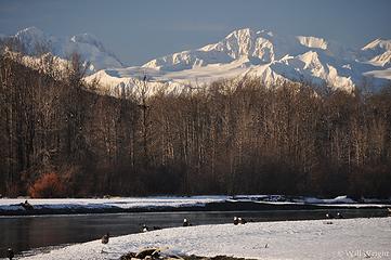 185 (3) 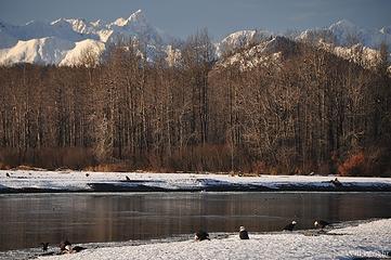 187 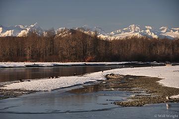 193 (3) 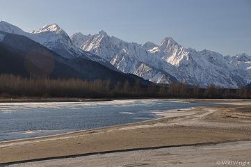 202 (3) 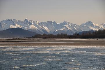 204 (3) 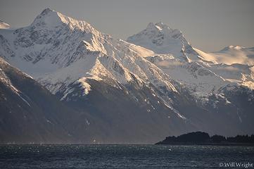 219 (3)  270 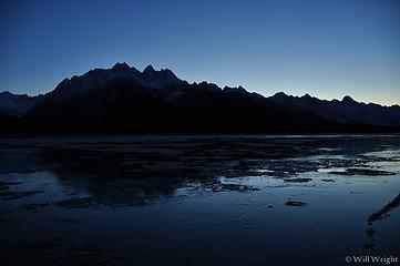 255 (3) 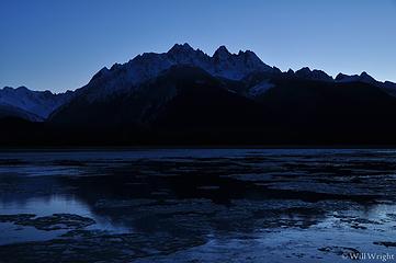 251 (2) 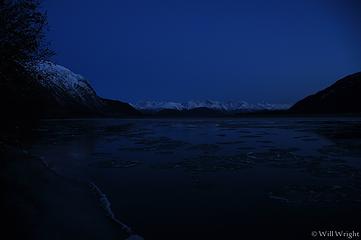 249 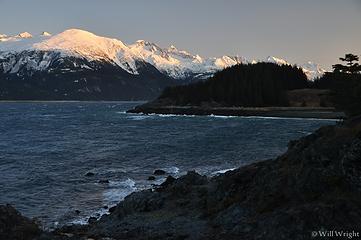 242 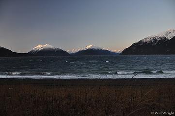 241 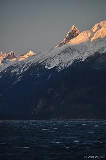 237 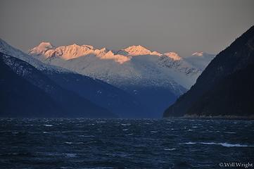 235 (2)  230 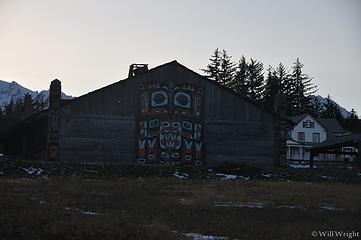 228 (3) 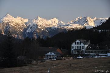 227 (2) 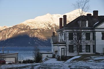 225 (3) 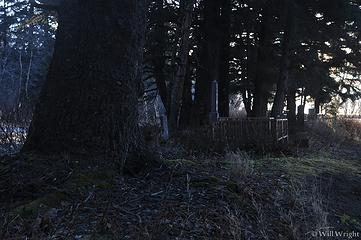 272 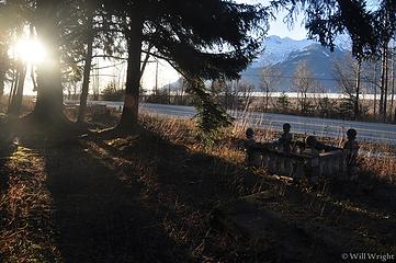 277 (2)  279  283 (2)  284 (2)  289 (2) 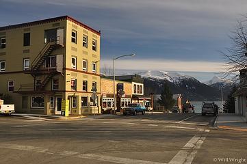 291 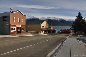 293 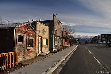 296 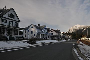 298 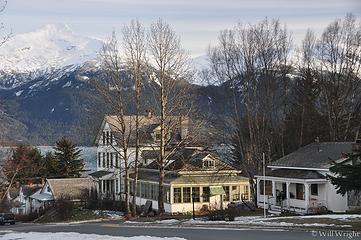 299 (2) 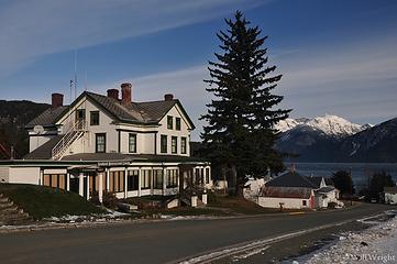 300 Haines and Skagway 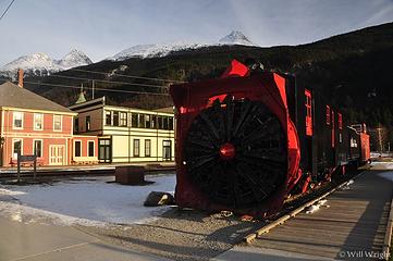 311 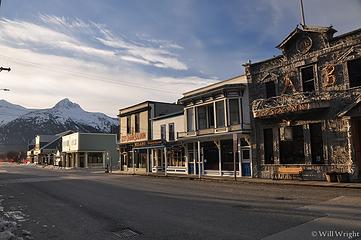 313 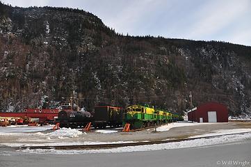 314 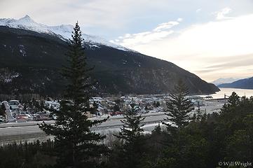 323 (2) 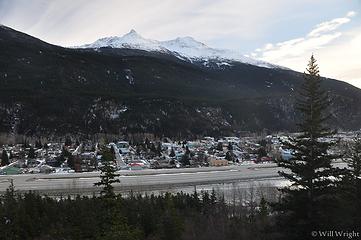 325 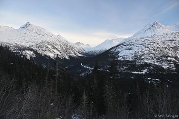 338 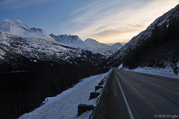 340 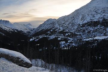 342 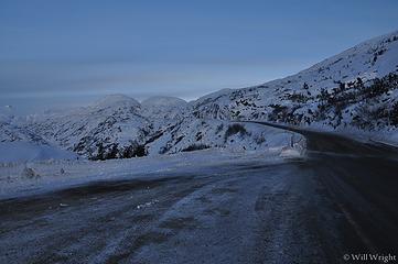 346 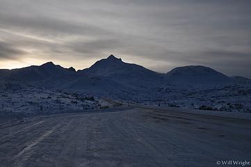 348
|
| Back to top |
|
|
Mega-Will
country bumpkin
Joined: 22 Dec 2006
Posts: 655 | TRs | Pics
Location: Olympic Peninsula |
|
Mega-Will
country bumpkin
|
Fri Jan 02, 2015 2:51 am |
|
|
Chena River
 Chena Trails Chena Trails 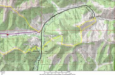 Angel Rocks  Hike in Chena recreation area  009  012  013  027  028 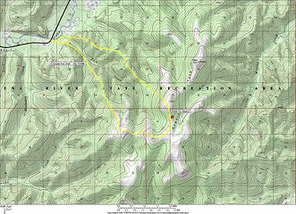 Granite Tors 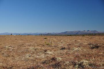 Tundra near Granite Tors 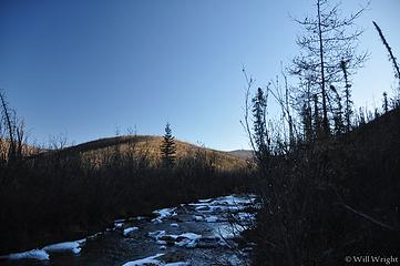 Chena Recreation Area 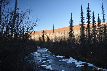 Chena River State Recreation Area 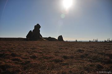 Granite Tors (2) 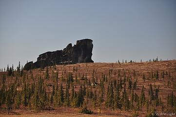 Granite Tors (3) 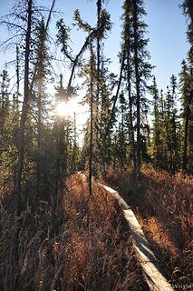 Granite Tors trail 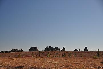 Granite Tors, east of Fairbanks 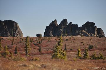 Granite Tors 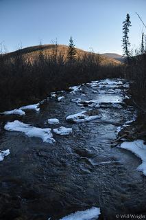 Rock Creek near Granite Tors, end of September
|
| Back to top |
|
|
Mega-Will
country bumpkin
Joined: 22 Dec 2006
Posts: 655 | TRs | Pics
Location: Olympic Peninsula |
|
Mega-Will
country bumpkin
|
Fri Jan 02, 2015 2:52 am |
|
|
Steese Highway
Radiating from the small city of Fairbanks are a series of rural roads, partly paved and partly gravel, which lead into a series of boreal forest covered hills, low rolling tundra mountains, and boggy lowland flats that comprise interior Alaska. The interior has a bit of a reputation for being the boring part of the state, with repetitive and relatively uninspiring scenery. Though I won't argue that the coastal regions are far more jaw dropping, this region has slowly grown on me. On the coast, one can feel hemmed in and overwhelmed by steep, imposing mountains, while in the interior, the simpler things like slow, clear rivers, highly variable boreal forest, lingering low angle sunlight, and just the untouched vastness of Alaska can be better appreciated.
Though Chena Hot Springs Road is the most popular gateway into this country, the Steese Highway is my favorite, as it accesses a wider range of terrain, and provides a relatively quick slice of "the real Alaska" within a fairly easy range from Fairbanks. Every year it seems, more of the road is paved. As of the last time I went out there, the pavement ended just before the climb up to Eagle Summit. Every time I've driven the Steese, the gravel portion is exceptionally well graded out to the tiny town of Central, and then turns into a more normal rough gravel road from there. There are several side roads off the Steese, the most important being the one cutting off to the north at US Creek. This road climbs over a scenic ridge and accesses the Mt. Prindle and Nome Creek Valley areas, for hikes, rock climbing, biking, and a fairly popular float trip.
 Steese Trails Steese Trails 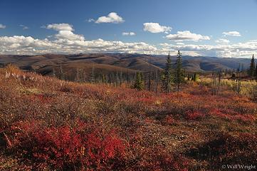 068 (7) 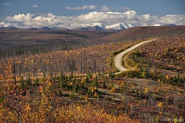 071 (8) 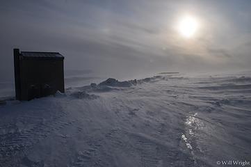 099 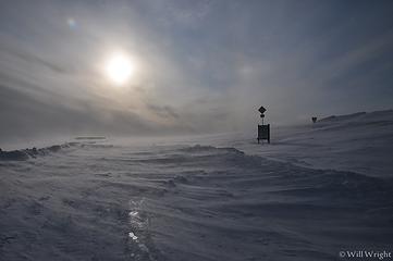 101 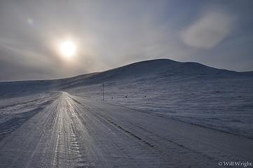 120 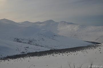 132 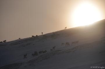 160 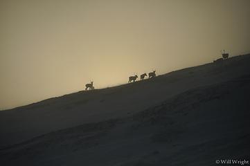 164 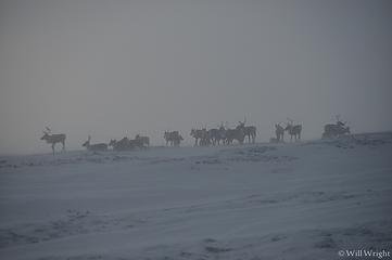 167  172  183  184  189
|
| Back to top |
|
|
Mega-Will
country bumpkin
Joined: 22 Dec 2006
Posts: 655 | TRs | Pics
Location: Olympic Peninsula |
|
Mega-Will
country bumpkin
|
Fri Jan 02, 2015 2:55 am |
|
|
40-Mile Country
 40-Mile 40-Mile 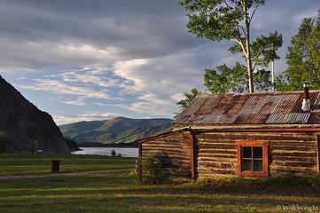 089 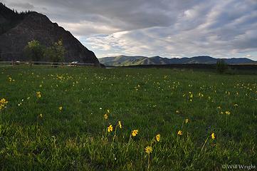 099 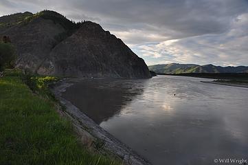 102 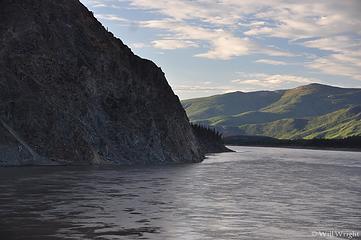 104 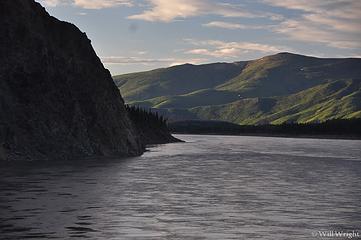 107  108  115 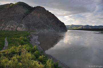 117  119 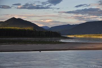 120 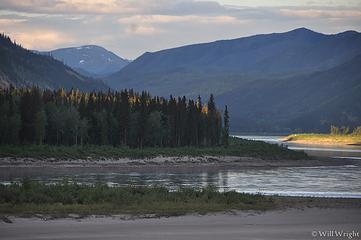 121 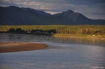 124  168 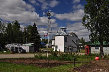 165 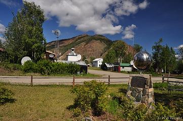 162  158  128  127  126  171  006  024  035  041  045  054  058  073  085  086  087 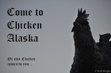 Chicken 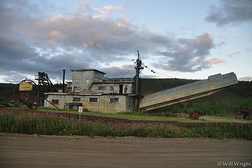 052 (3) 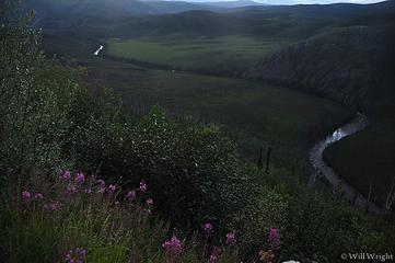 059 (7) 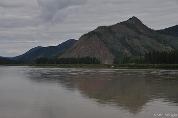 061 (2) 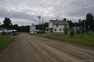 067 (3) 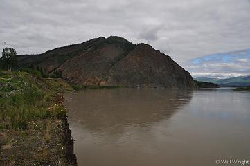 068 (5) 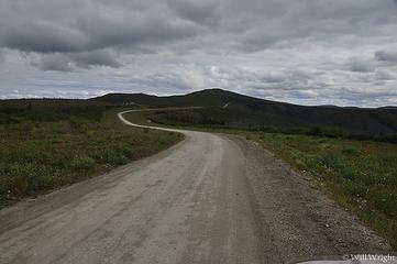 076 (2) 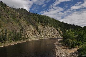 080 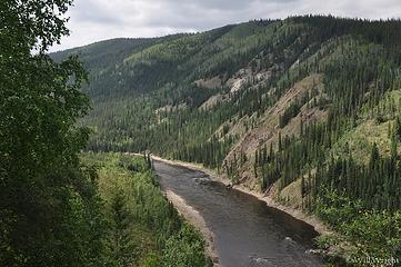 081 (2) 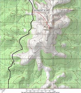 Mt. Fairplay 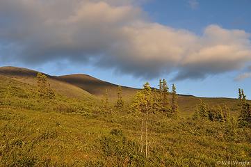 050 (6) 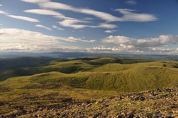 040 (5) 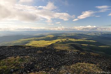 045 (4) 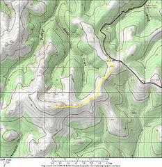 American Summit 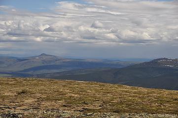 214 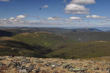 211 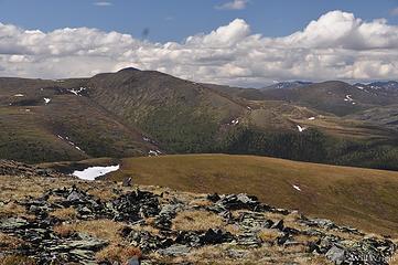 209 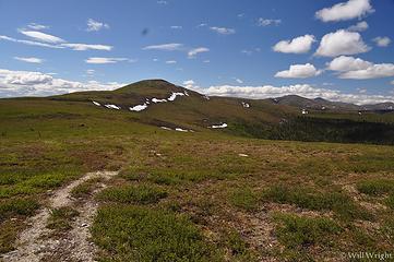 188  200  187  182  179  173  172 006 024 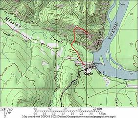 Eagle Bluff 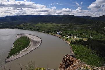 138 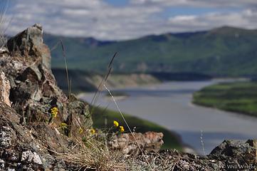 147 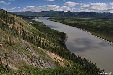 151 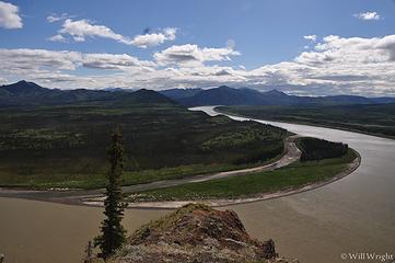 152 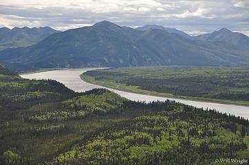 154 158
|
| Back to top |
|
|
Mega-Will
country bumpkin
Joined: 22 Dec 2006
Posts: 655 | TRs | Pics
Location: Olympic Peninsula |
|
Mega-Will
country bumpkin
|
Fri Jan 02, 2015 2:58 am |
|
|
Mt. Prindle
This is one of the few designated hikes in interior Alaska that can compete with Pinnell Mountain in terms of overall quality. If anything, the scenery is better, but the lower part of the trail is quite boggy for several miles, until the valley bottom is left, the muddy path disappears in favor of dry alpine tundra. Up there, an absurdly spectacular stegosaurus ridge of granite pinnacles is traversed, eventually leading to the summit of the highest mountain in the area. As a side note, the back side of Mt. Prindle has a 900 foot wall of vertical granite - one of the few really good rock climbing venues in interior Alaska.
About an hour out the Steese Highway from Fairbanks, take a left onto gravel US Creek Road. This climbs steeply over a fire scarred divide with far flung views of empty rounded mountains, and down into pretty little subalpine Nome Creek valley. For some reason, this area reminds me a great deal of the dry lonely mountains of the northeastern Cascades and Okanogan Mountains of Washington. If you like that country, you will appreciate this place. Take a right at the junction and quickly arrive at a rustic campground and trailhead.
The trail is not especially heavily traveled and can be tough to figure out at first. Drop down and cross Nome Creek and follow it upstream for a bit, crossing a tributary coming in from the right. The trail becomes obvious just on the far side of this gully, up on the tundra. When I did the hike it was quite wet. I wore rubber boots for the first several miles, packing light hiking shoes for the dry upper part of the hike. That worked well. From the basin at the head of Nome Creek, climb up and right and find yourself on the previously described ridge of pinnacles. The ridge leads to Mt. Prindle over one significant false summit.
Round Trip: about 17 miles.
Elevation Gain: 3300 ft.
 Mt. Prindle
|
| Back to top |
|
|
Mega-Will
country bumpkin
Joined: 22 Dec 2006
Posts: 655 | TRs | Pics
Location: Olympic Peninsula |
|
Mega-Will
country bumpkin
|
Fri Jan 02, 2015 2:58 am |
|
|
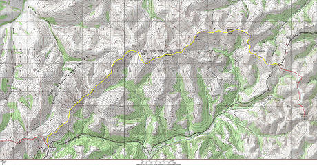
Pinnell Mountain
Because of its low population and difficult trail building conditions, interior Alaska has few designated hiking trails. Perhaps the most unique and best of the lot, this one sticks to an undulating subarctic ridgeline, entirely above treeline for the length of a marathon. Some sections are a bit muddy, but not bad at all by local standards, helped in part by several miles worth of narrow boardwalk across large soggy sections.
This hike connects the two passes along the Steese Highway northeast of Fairbanks. In order to do the whole thing, you'll need a ride between the trailheads. Though there's not a lot of traffic along here, I didn't have any trouble hitchhiking when I did the trip. The far trailhead is a bit over two hours from Fairbanks, and another half hour puts you in the tiny town of Central where hot meals and beds are available. The place is pretty much straight out of the gold rush - not in a touristy way - more like the gold rush has not yet ended. This region in the eastern Yukon valley is about as close to the wild west as still exists. The last few miles before the trailheads are not paved, but are excellent quality gravel (and they keep paving more of this road). I would risk driving a rental out here.
The hike itself is well marked and pretty self explanatory. The views are ever present but ebb and flow as you cross minor summits and saddles. Two trail shelters are located roughly at thirds along the hike. These cabins have water catchment barrels, which are the best source of water along this long ridge hike. Obviously it should be treated. Even though it's spectacular and unusual, the repetitive nature of the hike might be a disappointment. I did it in about 14 hours over an endless summer night, about a week before solstice. The beautiful 10 hour sunset-sunrise sequence kept me highly entertained. This close to the arctic circle, the sun only went behind the horizon for an hour or so. Hiking the high country of the interior this way is highly recommended.
One Way: about 26 miles.
Elevation Gain: +6200ft. -5700ft. (Twelvemile to Eagle Summit)
 Pinnell Mountain 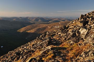 117 (2)  054 (5)  057 (5)  059 (8)  063 (4)  073 (5)  082 (4)  091 (2) 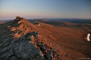 100 (8) 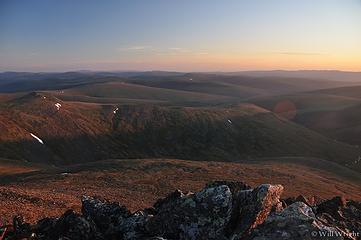 103 (5) 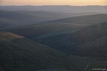 105 (5) 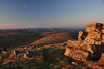 107 (4) 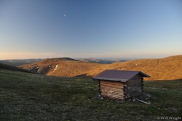 108 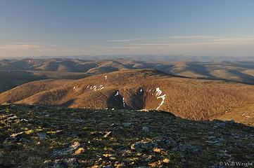 111 (3)
|
| Back to top |
|
|
Mega-Will
country bumpkin
Joined: 22 Dec 2006
Posts: 655 | TRs | Pics
Location: Olympic Peninsula |
|
Mega-Will
country bumpkin
|
Fri Jan 02, 2015 3:00 am |
|
|
Wrangell St. Elias National Park
 Wrangell St. Elias North  Wrangell St. Elias Central 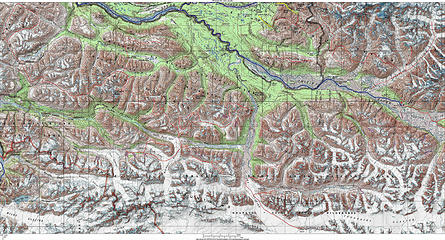 Wrangell St. Elias South Wrangell St. Elias South 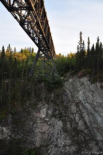 275 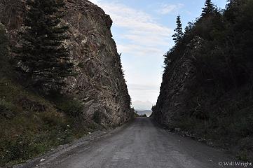 345 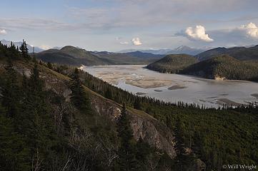 341 (2) 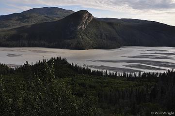 343 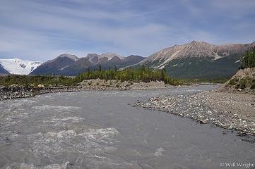 334 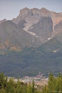 336 (2)  280 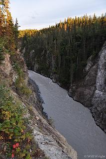 277  296 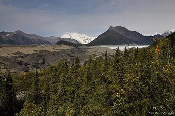 290 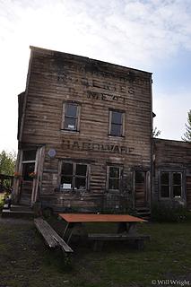 284 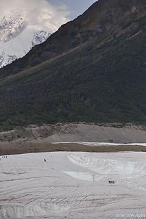 301 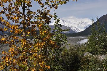 299 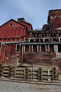 312 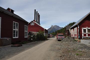 309 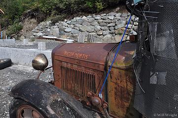 308 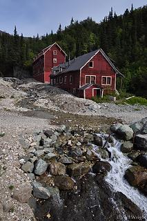 324 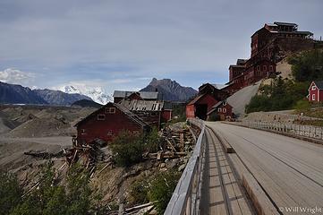 327 (2)  Wrangells from Nabesna Road  Along Nabesna Road  Along the Nabesna Road  from Nabesna Road  Mt Sanford from Nabesna Road 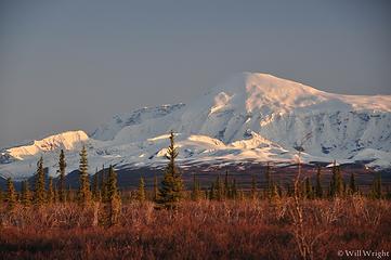 Mt. Sanford, Nabesna Road (2) 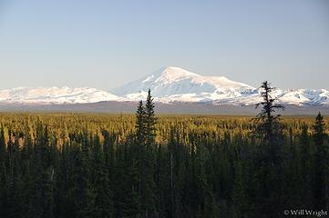 Mt. Sanford, Nabesna Road 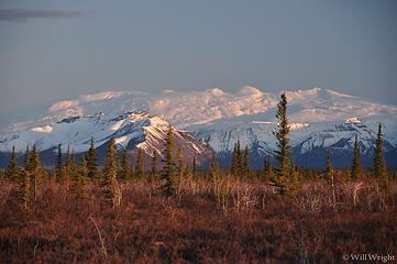 Nabesna Road (2) 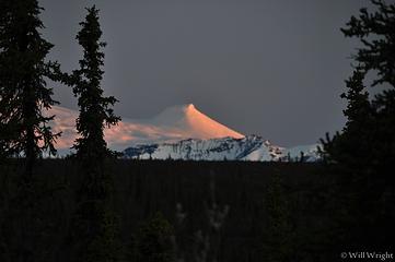 Nabesna Road (3) 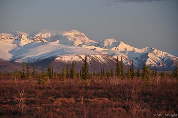 Nabesna Road 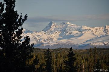 Wrangell Mountains from Nabesna Road 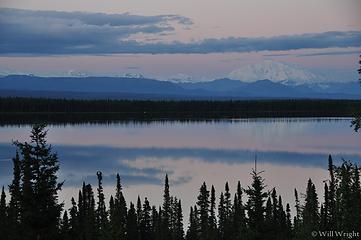 Willow Lake 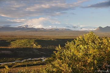 Copper Basin, Edgarton Highway 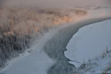 Copper River at -40 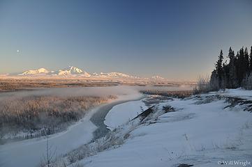 Copper River Bluff near Glennallen 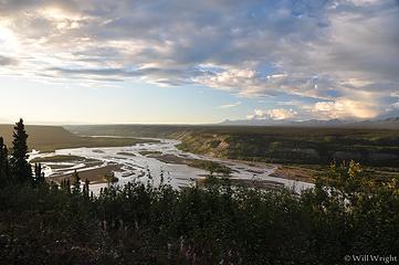 Copper River from Edgarton Highway 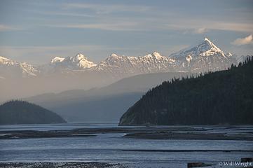 Copper River near Chitina 2 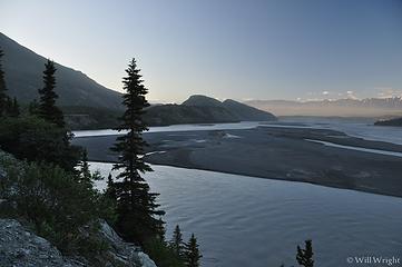 Copper River near Chitina 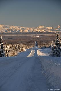 Edgerton Highway 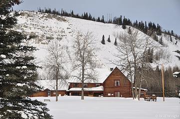 Gakona Roadhouse 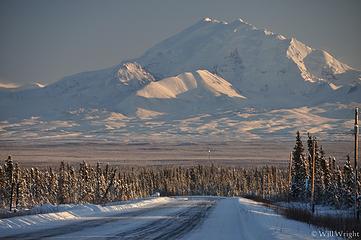 Glenn Highway, Mt. Drum 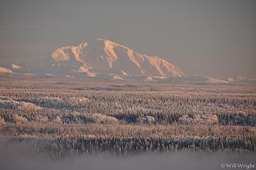 Mt. Blackburn 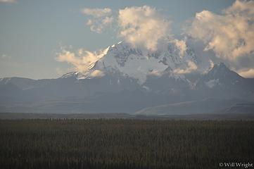 Mt. Drum from Richardson Highway 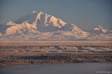 Mt. Drum 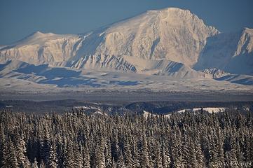 Mt. Sanford 2 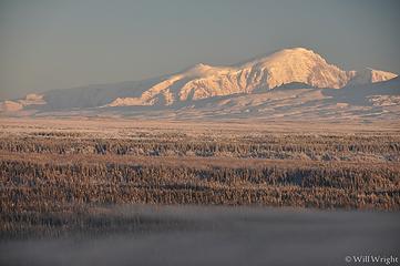 Mt. Sanford 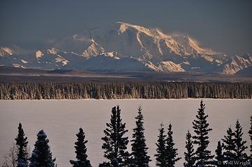 Willow Lake, Mt. Blackburn 2 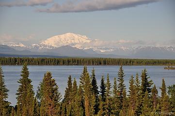 Willow Lake, Mt. Blackburn 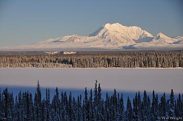 Willow Lake, Mt. Drum 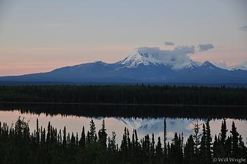 Willow Lake, Richardson Highway (2) 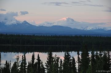 Willow Lake, Richardson Highway 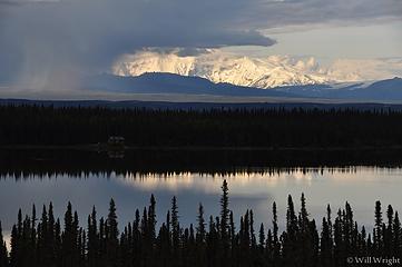 354 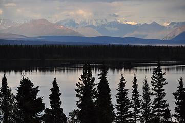 362 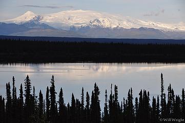 359 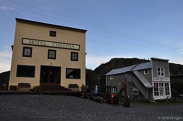 348 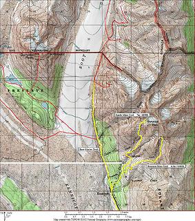 Bonanza Mine 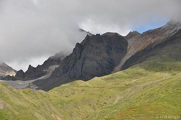 On the trail to Bonanza Mine 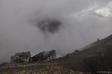 Bonanza Mine, Kennicott 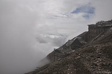 Bonanza Mine, Wrangell St. Elias 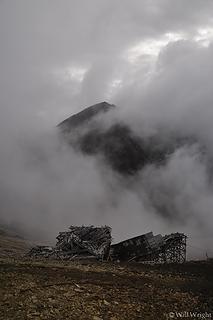 Bonanza Mine 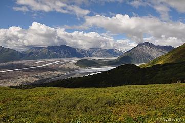 Kennicott Glacier, Wrangell St. Elias 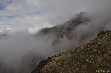 Near Bonanza Mine (2) 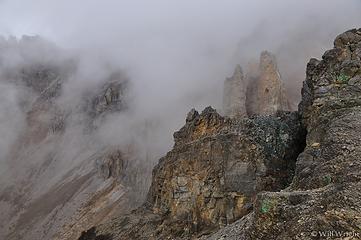 Near Bonanza Mine (3) 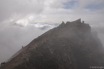 Near Bonanza Mine 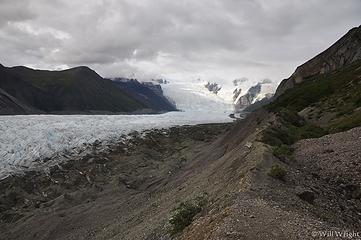 Root Glacier, near Kennicott  Confluence of Root and Kennicott Glaciers  Mt Blackburn, Kennicott  Root Glacier hike  Root Glacier Icefall, Wrangell-St. Elias National Park 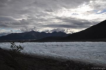 Root Glacier, Kennicott 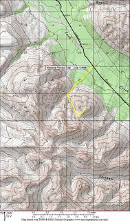 Skookum Volcano 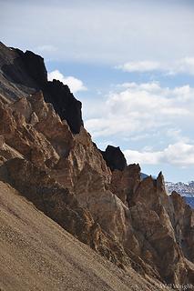 Skookum Volcano Hike 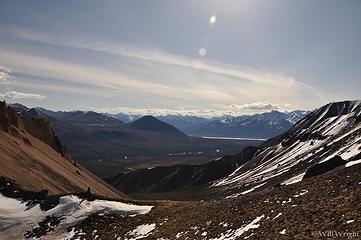 Skookum Volcano Hike (2) 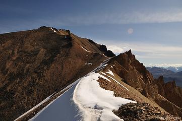 Skookum Volcano hike (3) 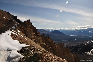 Skookum Volcano hike (4) 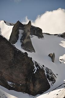 Skookum Volcano Hike (5) 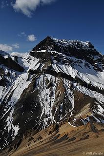 Skookum Volcano Hike (6) 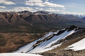 Skookum Volcano hike (7) 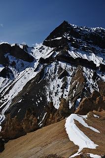 Skookum Volcano Hike (8) 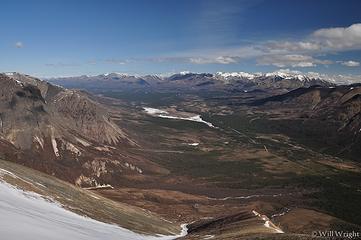 Skookum Volcano Hike, Nabesna Road (2) 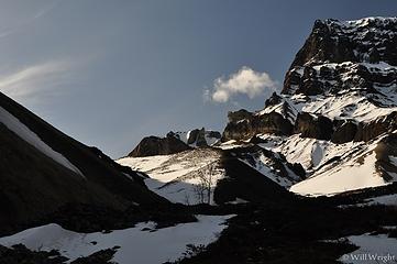 Skookum Volcano hike, Nabesna Road
|
| Back to top |
|
|
Mega-Will
country bumpkin
Joined: 22 Dec 2006
Posts: 655 | TRs | Pics
Location: Olympic Peninsula |
|
Mega-Will
country bumpkin
|
Fri Jan 02, 2015 3:01 am |
|
|
Valdez
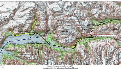 Valdez Valdez  118  119 (5)  120  121  125  127  132 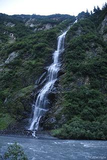 Bridal Veil Falls, Valdez 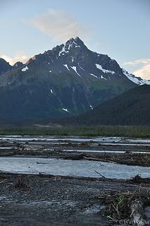 From the road near Valdez 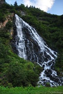 Horsetail Falls near Valdez 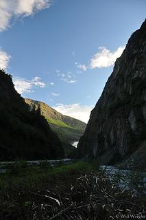 Keystone Canyon, Valdez  Lowe River near Valdez  109  117  116  119  125 (2)  200  207  Worthington Glacier, Valdez 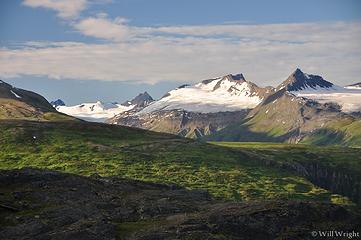 View from Thompson Pass, Valdez 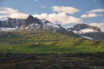 Thompson Pass, Valdez 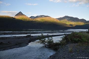 near Valdez 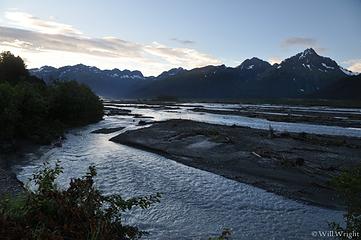 Near Valdez (2)  110  115  103 (2)  092 (2)  093  089 (2)  085 (2)  077 (2)  073 (2)  270  262  253 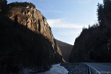 058 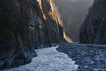 061 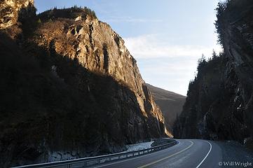 064 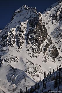 065  069 (2)  069 (3)  069  071 (2) 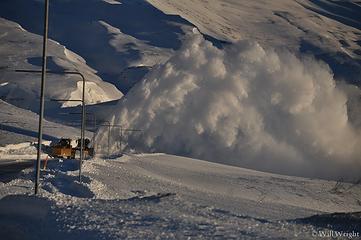 071 (5) 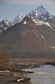 071 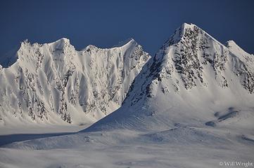 072 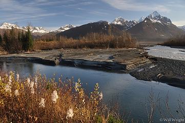 075 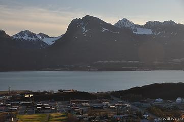 092 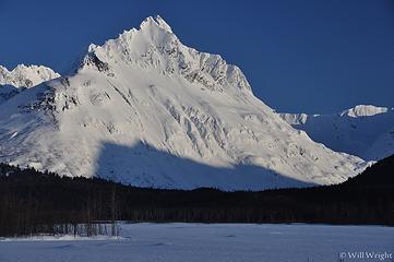 092 (3) 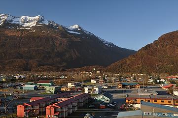 087 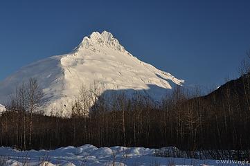 087 (2) 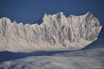 084 (3) 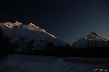 084 (2) 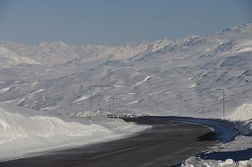 083 (4) 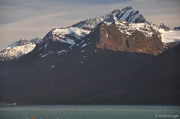 081 (3) 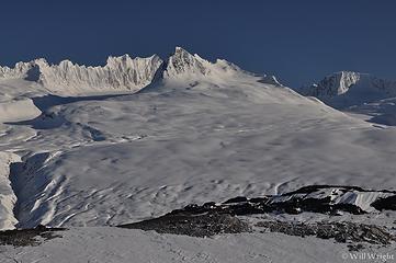 080 (2) 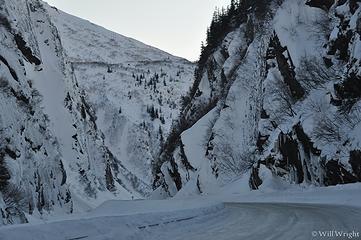 079 (4) 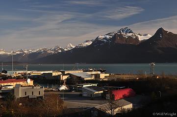 078 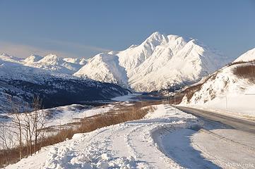 076 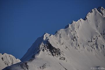 094 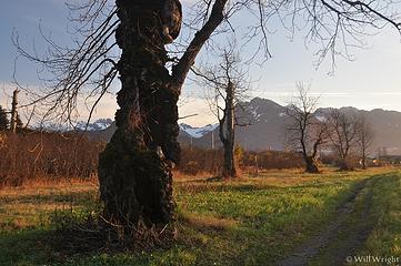 096 (5) 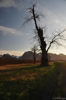 098 (5) 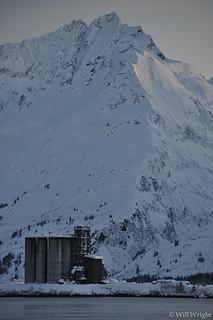 099 (2) 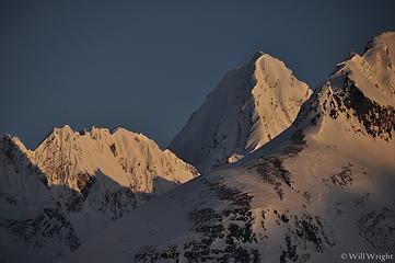 101 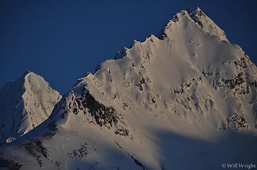 102 (5) 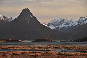 105 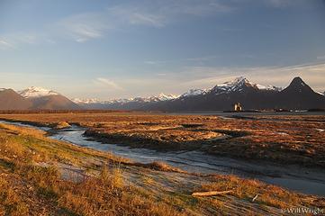 110 (3) 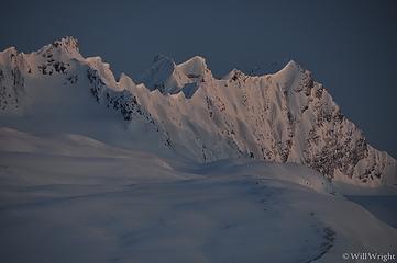 111 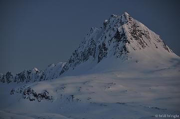 112 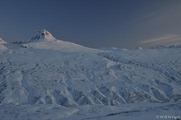 113 (4) 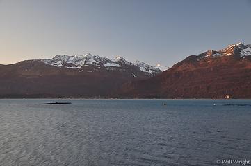 116 (3)  011  014  029 (3)  031 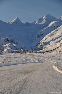 033 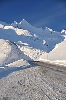 037  038  040 (2) 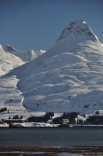 057 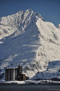 056 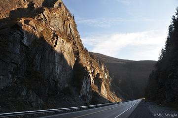 053 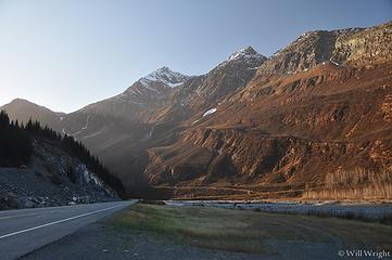 052 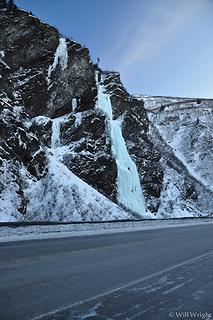 051 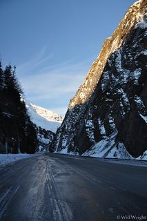 050 (2) 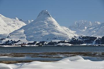 047  045 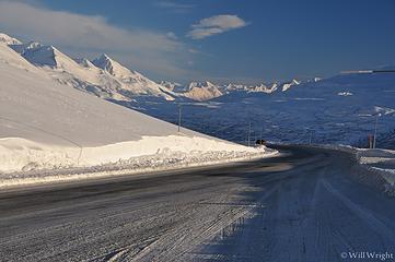 044 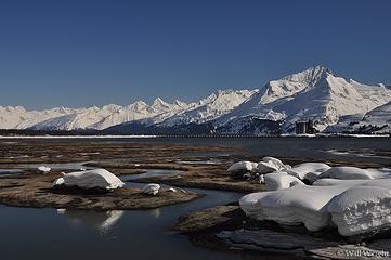 043 (3)  042  042 (2) 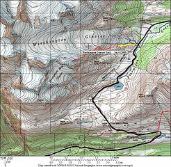 Worthington Glacier 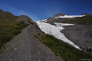 125 (2) 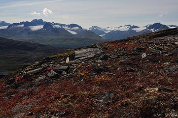 245 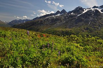 247  241  230  234  211  216  205  201 (2)  131 (2)  134  154  166  174 (2)  169  178  177  181 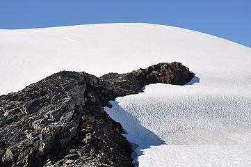 185 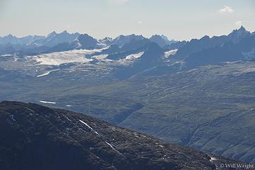 193 (2) 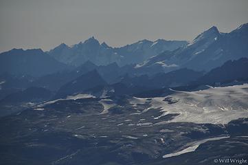 197 (2)
|
| Back to top |
|
|
Mega-Will
country bumpkin
Joined: 22 Dec 2006
Posts: 655 | TRs | Pics
Location: Olympic Peninsula |
|
Mega-Will
country bumpkin
|
Fri Jan 02, 2015 3:01 am |
|
|
Matanuska Valley
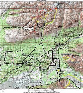 Lower Matanuska Valley Lower Matanuska Valley 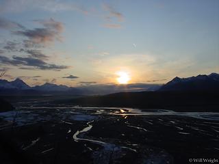 Matanuska River from Palmer 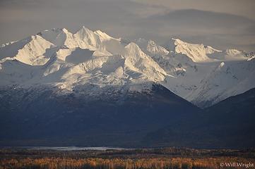 012 (6) 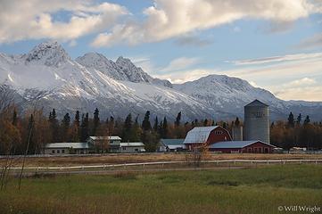 017 (9) 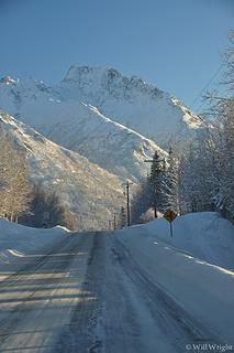 112 (2)  113 (2)  116  121  153 (3) 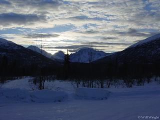 Chugach Mountains from Glenn Highway 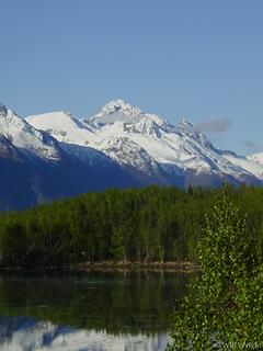 Chugach Range near Palmer 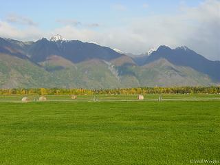 Farming near Palmer 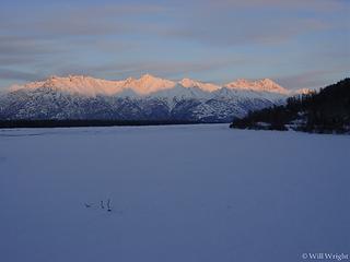 Knik River (2) 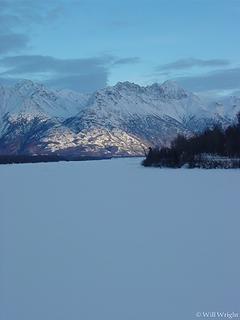 Knik River (3) 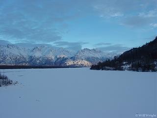 Knik River (4) 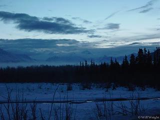 Knik River (5) 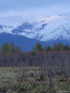 Knik River (6) 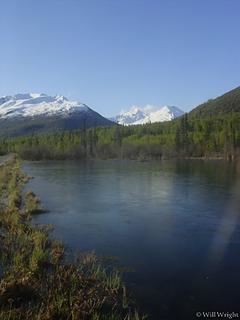 Knik River (7) 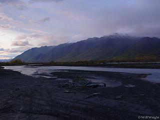 Knik River (19) 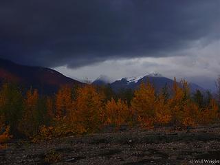 Knik River (18) 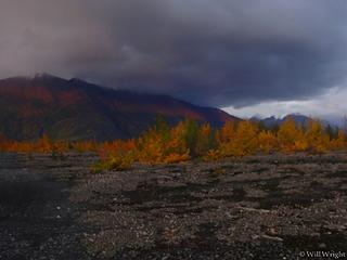 Knik River (17) 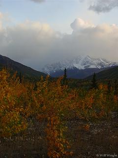 Knik River (15) 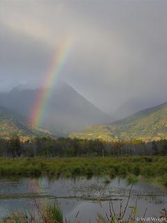 Knik River (14)  Knik River (13) 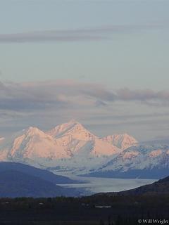 Knik River (12) 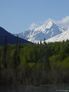 Knik River (11) 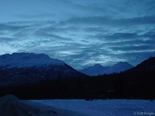 Knik River (10) 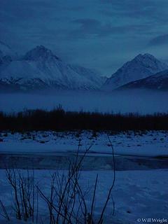 Knik River (9) 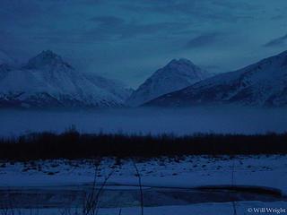 Knik River (8) 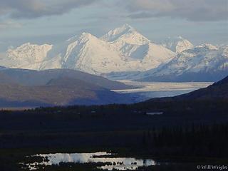 Mt. Goode, Knik River 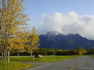 Pioneer Peak from Butte farming area, near Palmer 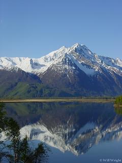 Pioneer Peak from Jim Lake, Palmer  Pioneer Peak from my cabin in Knik River  Pioneer Peak from Old Glen Highway 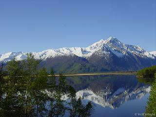 Pioneer Peak, Palmer (2) 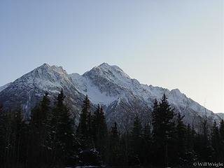 Pioneer Peak, Palmer 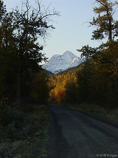 The road to my place in Knik River  001 (4) 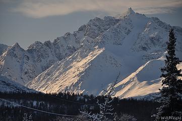 001 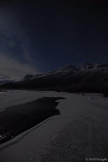 002 (4)  003 (7) 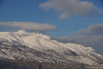 004  006  017 (6)  020  067 (2) 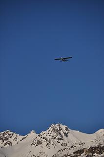 065 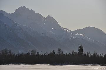 060  039 (3)  037 (4)  031 (3)  029 (3)  026 (3)  025  023  022 (4)  021 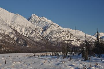 068  072  074  087 (2)  101 (3) 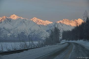 101 (4) 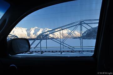 103 (2) 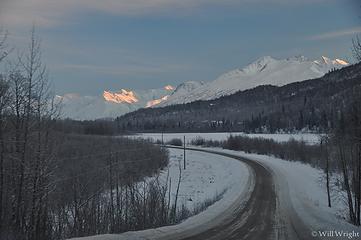 109 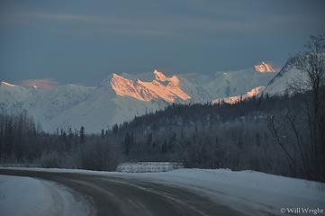 111 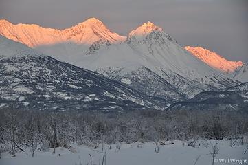 123 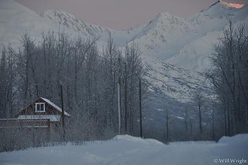 137 (3) 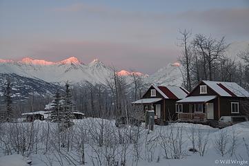 149 (3)
|
| Back to top |
|
|
|
|
You cannot post new topics in this forum
You cannot reply to topics in this forum
You cannot edit your posts in this forum
You cannot delete your posts in this forum
You cannot vote in polls in this forum
|
Disclosure: As an Amazon Associate NWHikers.net earns from qualifying purchases when you use our link(s). |


