Dolph Lundgren
Dolph Lundgren


Joined: 06 Apr 2022
Posts: 24 | TRs | Pics
Location: Tacoma |
Little late on the report, as I'm sure conditions have changed drastically with the recent heat, but anyways...
This was done over two days, with a bivy at Sahale Glacier Camp. Originally intended to climb Buckner, then Horseshoe on the way back. It seems that a double Bulger day will continue to elude me for a little while longer.
23.21 m
8,557' gain
21:37 moving time
I met Garth and Ben at the Eldorado lot, drank a beer, and we hit the road at 1140. 1:20 later we reached the Cascade Trail parking lot, about 3.2 miles and 1400' gain. A couple of snow patches up to the pass, most definitely gone by now. A ranger stopped us and asked to see our permit, which we somehow left in the car. He called in to verify our party though, and we were good. So yes, they'll check if they see you with overnight/climbing gear in the area.
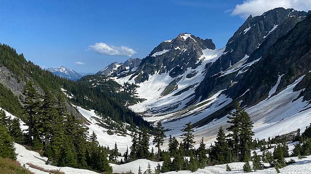 Cascade Pass 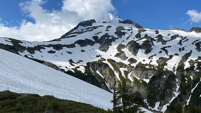 Sahale 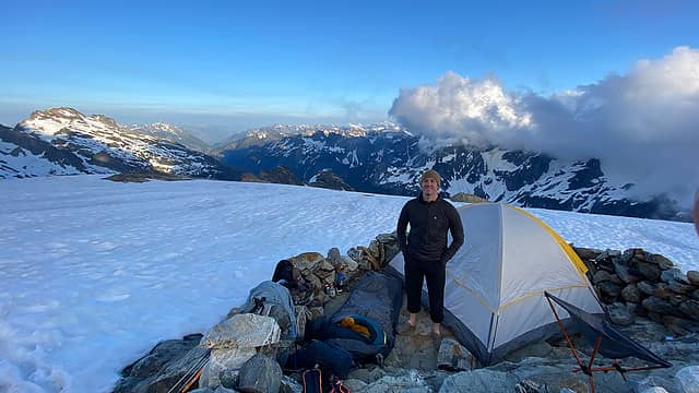 Camp 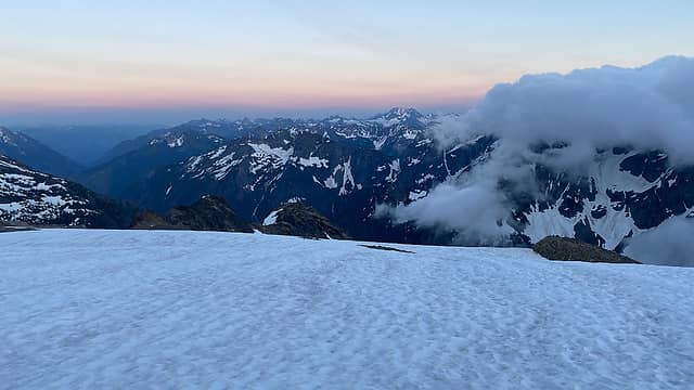 Sunset 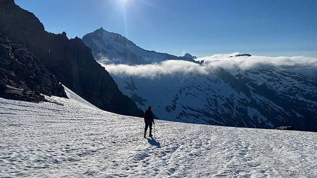 Departing camp 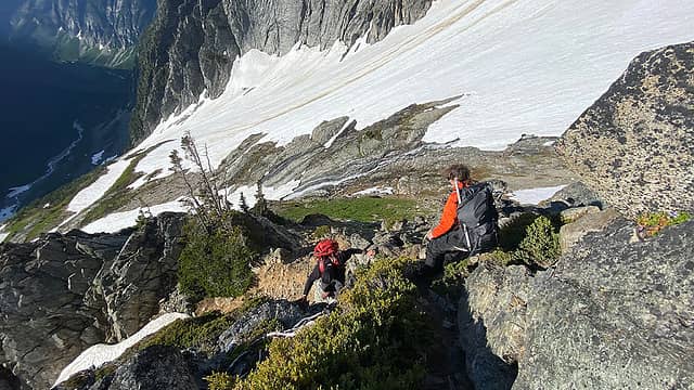 Moving down the rib, a little steep in areas but nothing awful 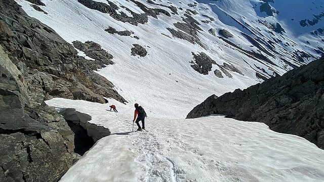 Moving down the snow finger, which was quite manageable at this time 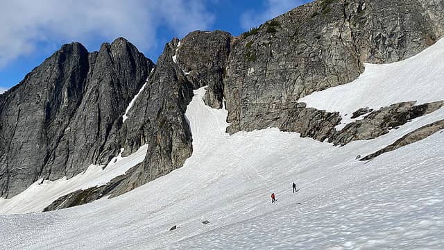 Good look back at the snow finger 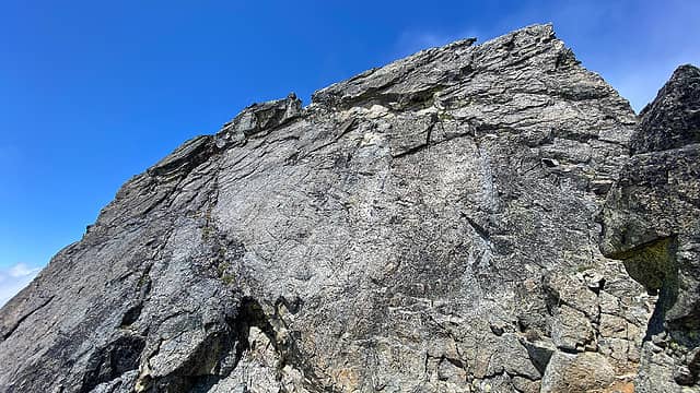 Looking up at the summit block. The route is the fault line feature moving from bottom right to top left 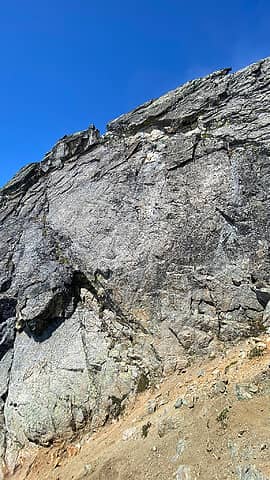 I believe this one shows the exposure along the fault better, its quite significant 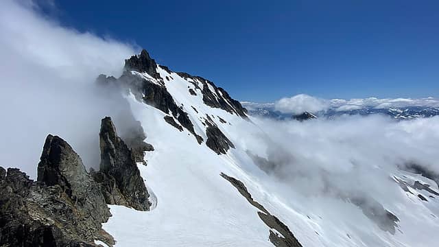 Buckner 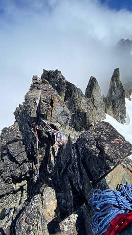 Most of the tat has been cut 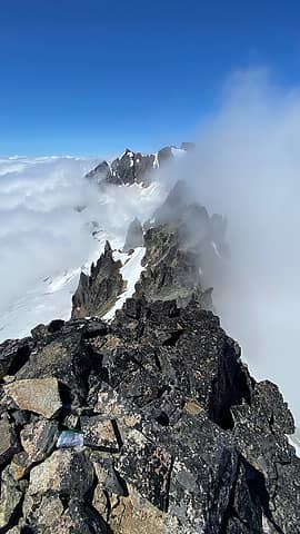 Ripsaw Ridge to Sahale 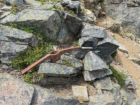 Should have fashioned a new axe out of this
 HikingBex, Theboywhocriedroute, Bramble_Scramble, neek HikingBex, Theboywhocriedroute, Bramble_Scramble, neek  awilsondc awilsondc
HikingBex, Theboywhocriedroute, Bramble_Scramble, neek awilsondc |


