| Previous :: Next Topic |
| Author |
Message |
NorthwestWanderer
Member


Joined: 28 May 2016
Posts: 113 | TRs | Pics
Location: Montana |
Hello everyone
This was an awesome backpacking trip in Montana's mighty Bob Marshall wilderness.
7/15/22 - 7/23/22
The goal of the trip was to walk the top of the Chinese Wall. This was a phenomenal bug-free trip with some great friends. Every photo is just a screen grab from my video below.
7/15/22
The Gathering / Meet up / Shuttle set | Car Camping near the Benchmark TH
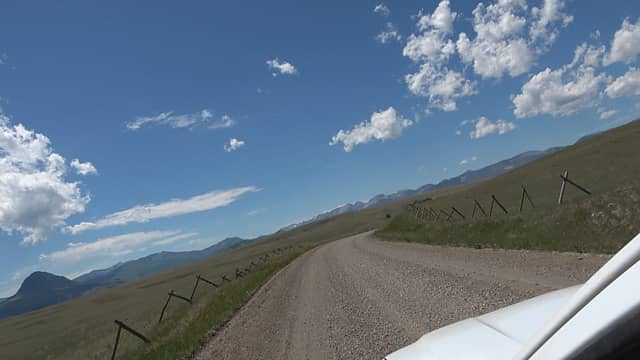 Heading toward the Bob 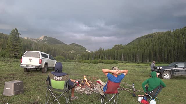 Watching a thunderhead skirt around us out onto the plains 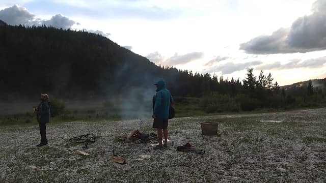 It did not skirt us, we got lit up. 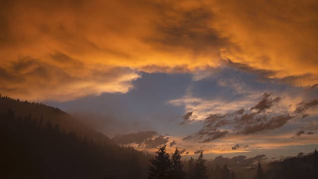 Post-storm sunset 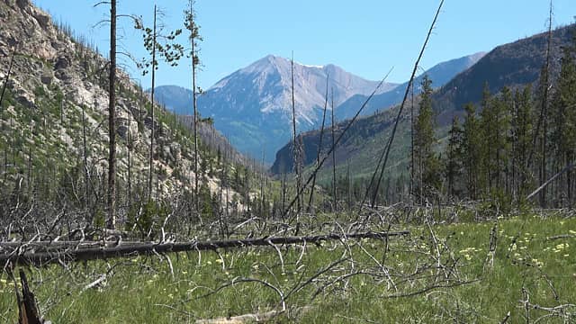 Heading toward the Sun River 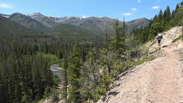 Great walk on a section of the CDT above the River after crossing it. 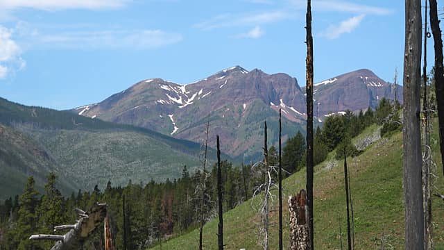 Red Butte 8590' 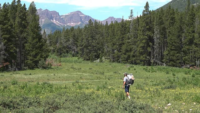 Looking for a good camp by the river 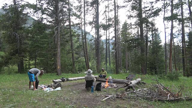 Pretty cool camp found. Must be an outfitters camp in the fall. Lots of flat, good water access and deer hangs. 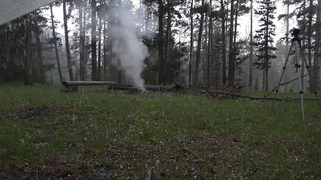 Rocky mountain afternoon thunderstorm on time 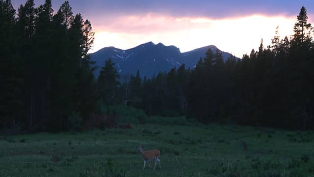 Everyone turned in early. I went to watch the sunset. 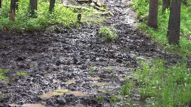 There are no dry feet when hiking in the early season in horse country 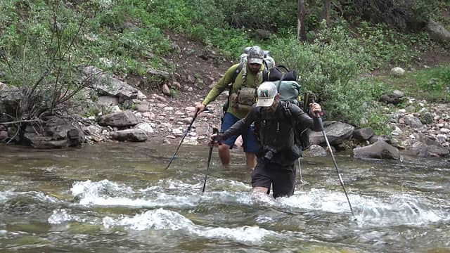 Crossing the West Fork, boulders were SLICK 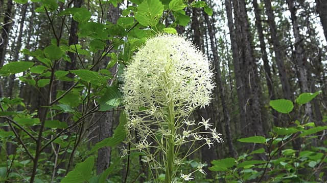 Massive beargrass 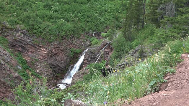 First bear of the trip 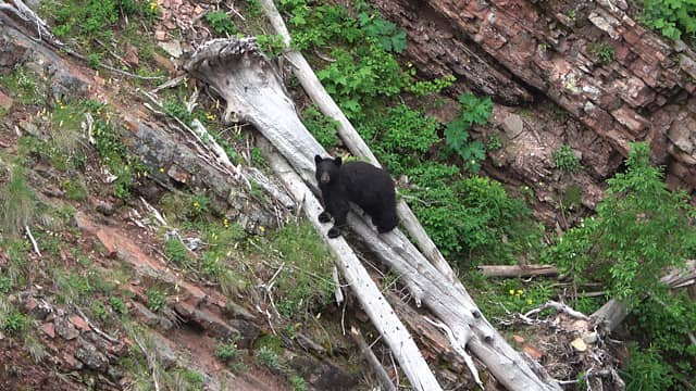 crossed the steep ravine like it was nothing then watch us pass 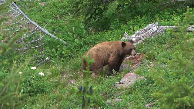 2nd bear sighting in 1/4 mile 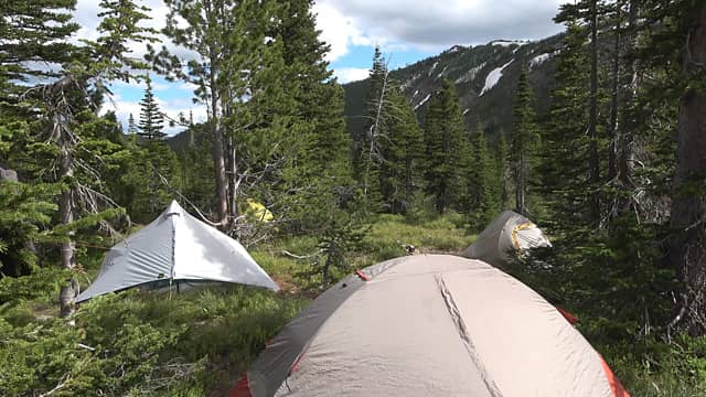 Camp in the basin below White River Pass. The day before our Christmas. Tomorrow we will be up on the Wall. Had a good fire and some beers this night. 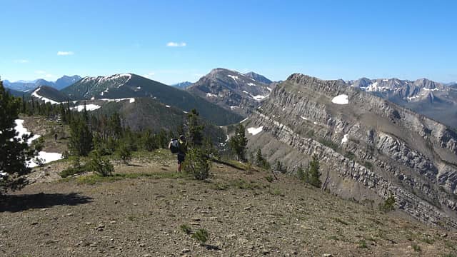 Getting up on the ridge to Haystack 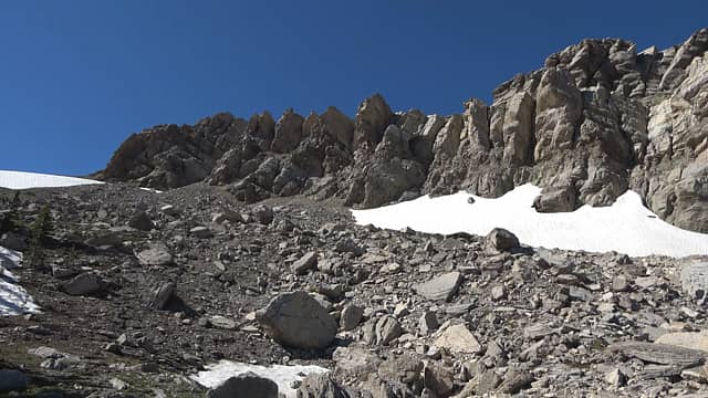 Toward the summit 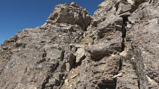 Notch around the corner of the last pic 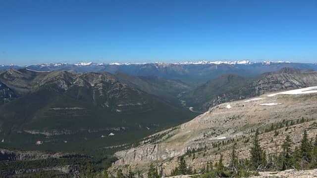 Haystack Summit. We are dead center of the Bob Marshall. This is wilderness. 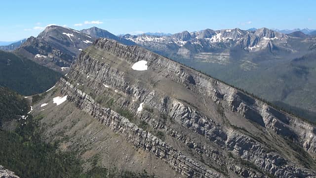 Next few days on the top of the wall would be a non-stop visual feast. 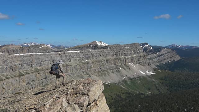 First view of the Chinese Wall 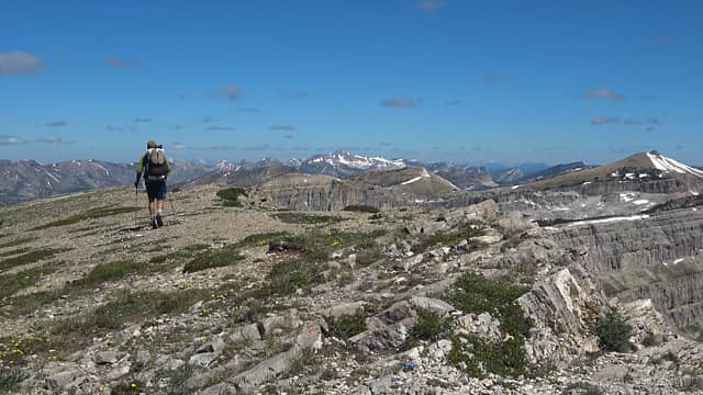 The walk of life 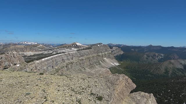 Looking toward what we would call "Sphinx Park", the "parkland" below Sphinx Mountain 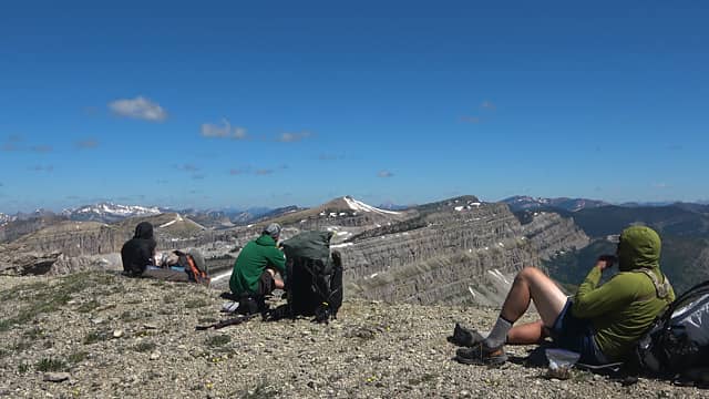 No rushing. Only enjoying. 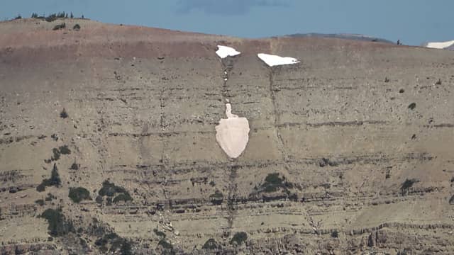 We were not welcomed here 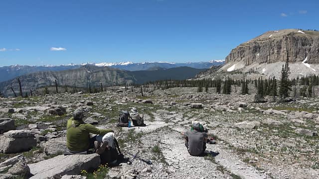 Taking it all in before entering Sphinx Park from the other "park" 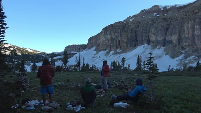 Our epic camp below Sphinx Mountain in Sphinx Park. A wall on a wall. Wall-ception 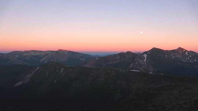 Sunset from near the real walls edge looking east toward the other half of the Bob 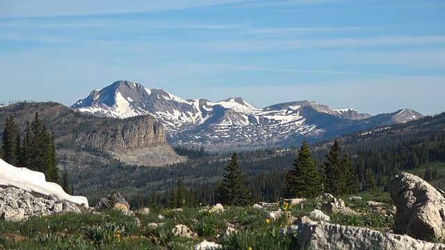 When the view at the start of the day looks like this, you know it will be a good day. 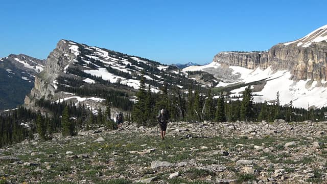 Wallception captured 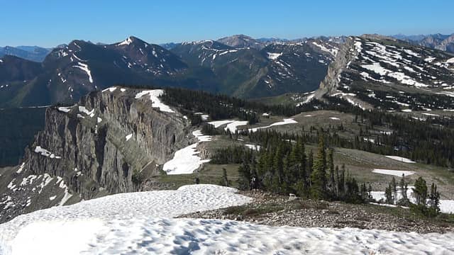 Almost to Cliff Mnt summit 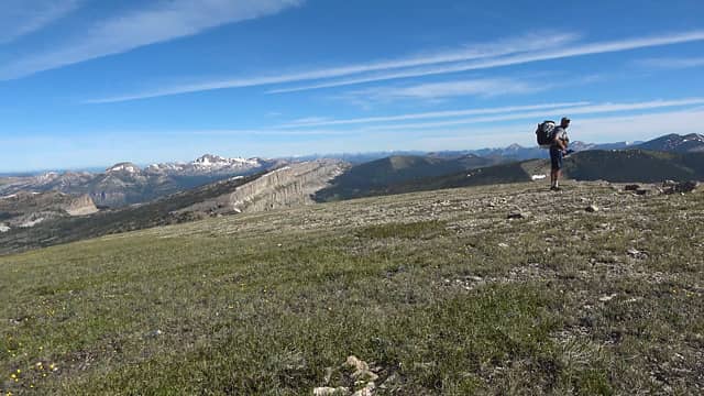 "She's a beaut' clark" 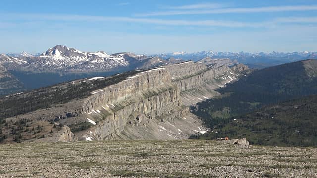 The wall with the ultra-remote Silvertip Mountain and the crowded Glacier National Park waaay in the distance 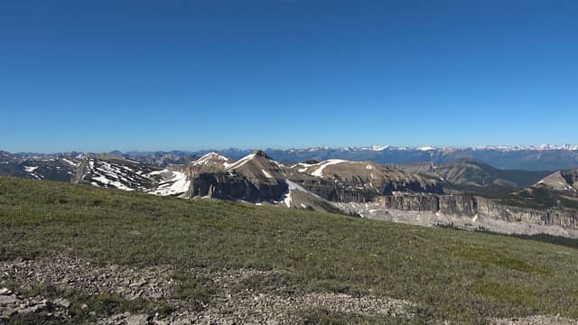 Looking back from which we came. The rest of the day was grand. 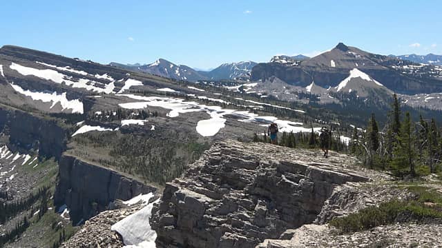 Walking the top of the wall is a deceiving amount of up and down. Worth it though. 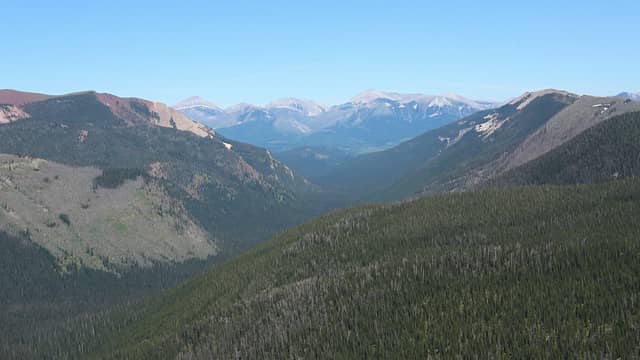 Looking down the Moose Creek drainage, where we will exit. 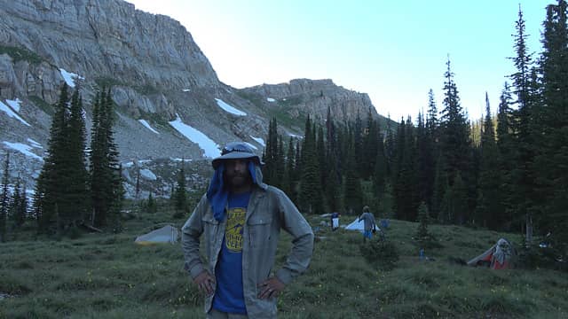 Only picture I got from camp after Larch Hill Pass, a screen grab from me recapping the day on my video. 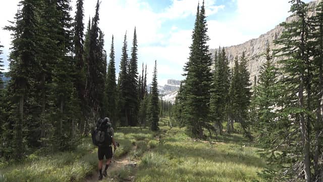 Now to walk the base of the wall! 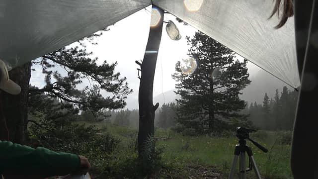 After leaving the wall and headed down the very wooded Moose Cr Drainage we found a good camp spot. Set up. Then promptly got lit up by a thunderstorm 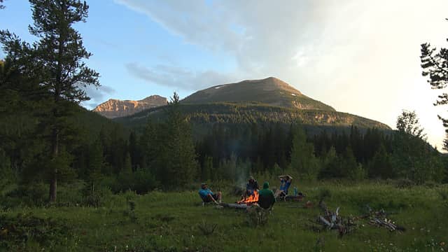 Post thunderstorm vibes 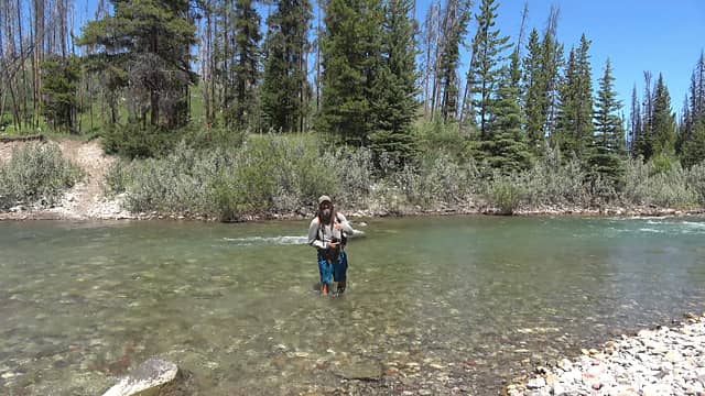 My friend approves of the cold water on this 95 degree day 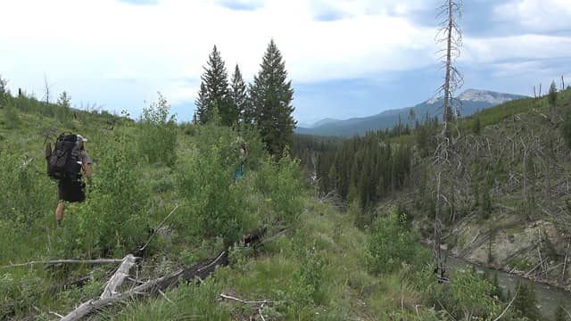 Off trail to find a trail 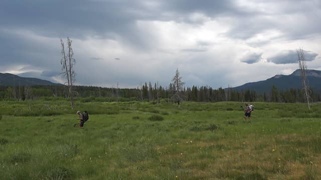 tons of grizzly bear sign in this area 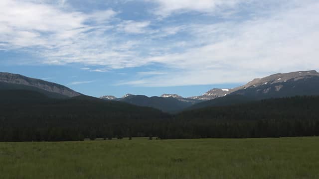 Cloudy and cool meadow walk  The sun river 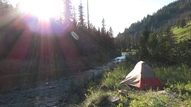 Camp at the pack raft takeout before some crazy rapids 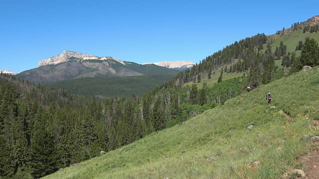 Hiking out 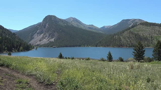 Gibson Reservoir 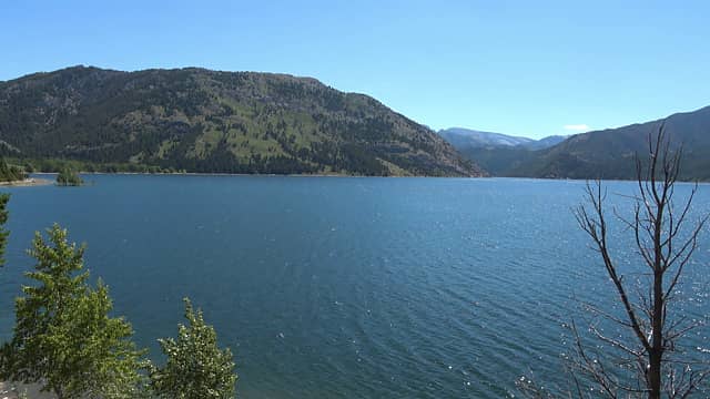 I was here doing a day hike in early May and this bay was all sand. 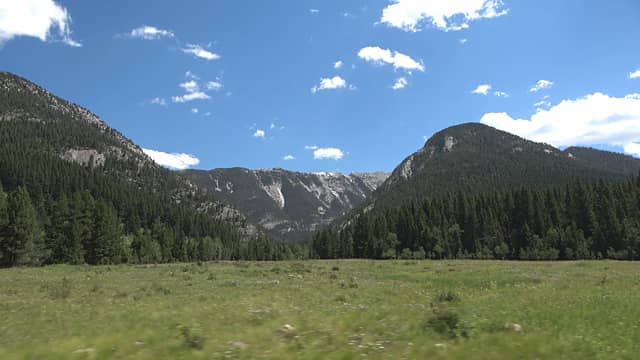 The car ride back to the Benchmark TH was very scenic. But the adventure wasn't over...  ... our shuttle vehicle was almost out of fuel. We should have fueled up before enduring 80 miles of forest service roads. We made it back to the Benchmark and my friend started to head to town with the car running on fumes. He made it into the gas station at the emergency level low fuel warning. 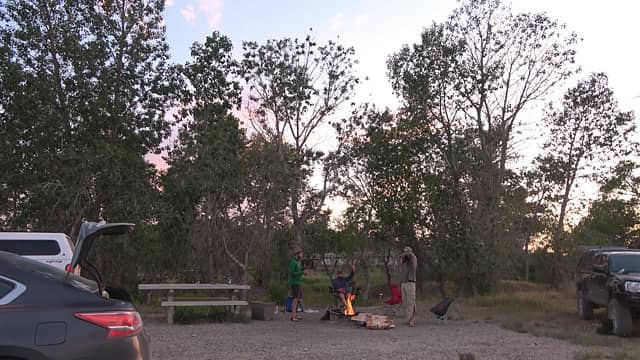 Another great trip in the books 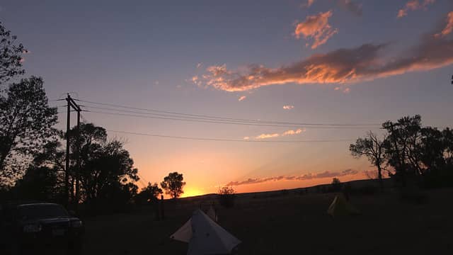 THE END
My Hiking Youtube Channel
 reststep, Nancyann, John Mac, Bramble_Scramble, Waterman, Prosit, flatsqwerl reststep, Nancyann, John Mac, Bramble_Scramble, Waterman, Prosit, flatsqwerl  Anne Elk, SpookyKite89, Walkin' Fool, kite, Ski, KascadeFlat Anne Elk, SpookyKite89, Walkin' Fool, kite, Ski, KascadeFlat
My Hiking Youtube Channel
reststep, Nancyann, John Mac, Bramble_Scramble, Waterman, Prosit, flatsqwerl Anne Elk, SpookyKite89, Walkin' Fool, kite, Ski, KascadeFlat
|
| Back to top |
  
|
|
KascadeFlat
Member
Joined: 06 Jul 2020
Posts: 314 | TRs | Pics
Location: Eating peanut M&Ms under my blue tarp |
Man, I really need to get out of Washington next year. Thanks for the inspiration! How did you come up with the trip plan to walk the top of the wall? Is this a common route?
For a good time call: 1-800-SLD-ALDR.
For a good time call: 1-800-SLD-ALDR.
|
| Back to top |
|
|
NorthwestWanderer
Member
Joined: 28 May 2016
Posts: 113 | TRs | Pics
Location: Montana |
| KascadeFlat wrote: | | Man, I really need to get out of Washington next year. Thanks for the inspiration! How did you come up with the trip plan to walk the top of the wall? Is this a common route? |
This trip was planned by one of my buddies who has wanted to do it for a while. "Walking the top of the wall" the way we did (stay up by the cliffs the whole time) is rare for the route. A majority of the few people who do walk the top kind of stay in the middle/back side after haystack mountain to avoid all the up and downs at the cost of views/staying in light timber (at that point though why even walk the wall?)
|
| Back to top |
|
|
Kim Brown
Member

Joined: 13 Jul 2009
Posts: 6899 | TRs | Pics
|
Damn! 
"..living on the east side of the Sierra world be ideal - except for harsher winters and the chance of apocalyptic fires burning the whole area."
Bosterson, NWHiker's marketing expert
"..living on the east side of the Sierra world be ideal - except for harsher winters and the chance of apocalyptic fires burning the whole area."
Bosterson, NWHiker's marketing expert
|
| Back to top |
|
|
|
|
You cannot post new topics in this forum
You cannot reply to topics in this forum
You cannot edit your posts in this forum
You cannot delete your posts in this forum
You cannot vote in polls in this forum
|
Disclosure: As an Amazon Associate NWHikers.net earns from qualifying purchases when you use our link(s). |


