PaleoCook
Member


Joined: 13 Dec 2016
Posts: 134 | TRs | Pics
|
Mt. Washington
1/15/2017 || 9.25mi || 3,664 Elevation Gain || Total Time: 5:30
Links to GPS, Flickr, and Hillmap at the bottom.
Mt. Washington is a beautiful trail. I got started early and was the 2nd car in the lot at around 6:30am. The lot has packed snow and ice along with a few small ruts. Nothing bad. There were several cars parked along the road when I left if you dont feel comfortable driving into the lot. Hiking up was smooth and I just wore microspikes for most of the way.
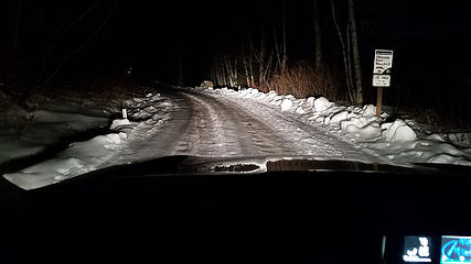 Road to trailhead 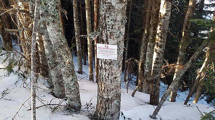 Wrong turn
|


