| Previous :: Next Topic |
| Author |
Message |
TrumOnTop
Scenic Pisser

Joined: 02 Feb 2024
Posts: 4 | TRs | Pics
Location: SLC |
|
TrumOnTop
Scenic Pisser
|
 Sat Mar 02, 2024 11:19 am |
|
|
Beep borp
 Anne Elk, Cyclopath, Malachai Constant, Joey Anne Elk, Cyclopath, Malachai Constant, Joey
|
| Back to top |
  
|
|
Tom
Admin
Joined: 15 Dec 2001
Posts: 17857 | TRs | Pics
|
|
Tom
Admin
|
Sat Mar 02, 2024 9:00 pm |
|
|
I gave it a try. My two cents. Too complicated, not user friendly. OK, it's free, and the catch is you have to invest time to learn how to use it. If you are tech savvy and have a lot of patience, perhaps this is for you. I didn't really want to invest the time to learn how to create maps before testing how well it actually worked so decided to give one of the pre-bulit maps a try. You would think you would be able to access those as an option on the screen, but you have to dive into the documentation to find them. Anyway, I copied the link for the 8MB of WA USGS scans and pasted it in the input box, then selected the option to display the outline, which worked. However, when I then tried to install the maps it kept giving me an error message, so I cleared everything and just tried to install the maps after pasting the text link. It started to work, but after uploading about 4 or 5 of the maps I got an error message. I suspect it ran into the google drive timeout mentioned in the documentation, as nothing worked after that. At this point I can only imagine most users that got this far are going to give up. Why demo this with files hosted on google drive if it's such a cluster F with timeouts? You have a web server, at least put up your sample files there. Also, to make this succeed you really need a collaborative effort from users to put up maps. Sorry for the rant, you put some effort in this and should be commended for that, but I really think this needs to be more user friendly.
Edit: finally was able to install the 13 sample USGS quads after timeout. I then tried to upload the corresponding open topo sample set and it ran into another google drive timeout. If you don't want to host them on a proper server, feel free to upload them here using the "upload original" button. In that regard, I'd have no issues if you want to upload a full set of quads for the entire state as this would be useful to the NWH community. The samples you have provided are a nice start, but there are some pretty big gaps, most notably for the north cascades. If you force everyone to create their own (which seems like a real headache) and/or host them on google drive I doubt that many will benefit from the app which has potential.
Also, you should probably clarify that each individual sample map is around 8 MB. The sample set of 13 quads is closer to 80 MB. Not sure how much cache the browser will keep in storage? Also, it seems you can only view one map set at a time, so no option to e.g. toggle between aerials or different maps? I suppose you could cache different map sets to different browsers and toggle that way.
Cyclopath
Cyclopath |
| Back to top |
|
|
peter707
Member
Joined: 16 Jun 2022
Posts: 138 | TRs | Pics
Location: Seattle, WA |
|
peter707
Member
|
Sun Mar 03, 2024 12:14 am |
|
|
Frequently I am reminded that convenience comes with a cost - various data harvesting, subscriptions, distractions, and at control over the user. Too often location is used against the user - geo-blocked e-bike rentals, geo-blocked drone software, location-based website blocking, targeted ads, price adjustment by location, etc. I would not be surprised if in the future, rental cars were locked by location to avoid gravel roads.
I like that this software directly exposes the underlying abstractions - the coordinates, the georeferenced maps, etc.
That said, I gave it a go, for some reason when I go to the step "Enter Data", I can't paste or type into the text box. The keyboard does not show up for me (Android, Pixel Phone), although it briefly flickers.
It is useful that the user has control over which geo-referenced JPG to use, although having some default options coming pre-installed would help usability.
|
| Back to top |
|
|
Tom
Admin
Joined: 15 Dec 2001
Posts: 17857 | TRs | Pics
|
|
Tom
Admin
|
Sun Mar 03, 2024 1:59 am |
|
|
Some thoughts after playing around trying to create offline maps. Why not use javascript to capture the screen (see https://github.com/niklasvh/html2canvas), compress to jpeg (see https://github.com/vigata/petitoJPEG for a compression solution consistent across all browsers), and save to file with the geo reference information in the file name? It really could be a one click proposition for any spot on the map, with a single file created that has all the information.
|
| Back to top |
|
|
Joey
verrry senior member

Joined: 05 Jun 2005
Posts: 2799 | TRs | Pics
Location: Redmond |
|
Joey
verrry senior member
|
Sun Mar 03, 2024 6:54 am |
|
|
Thanks for the feedback. I will reply more but first I'm going to try uploading maps here per Tom's generous offer.
|
| Back to top |
|
|
Joey
verrry senior member
Joined: 05 Jun 2005
Posts: 2799 | TRs | Pics
Location: Redmond |
|
Joey
verrry senior member
|
Sun Mar 03, 2024 7:40 am |
|
|
 Chiwaukum Chiwaukum_jpg^47.594125,-121.074486,47.971996,-120.722923  Cle Elum River North Cle_Elum_River_north_jpg^47.386903,-121.337214,47.624562,-120.897760  Cle Elum River south Cle_Elum_River_south_jpg^47.211231,-121.337214,47.401951,-120.897760  I90 west of pass I-90_west_of_pass_jpg^47.386903,-121.761646,47.624562,-121.322193 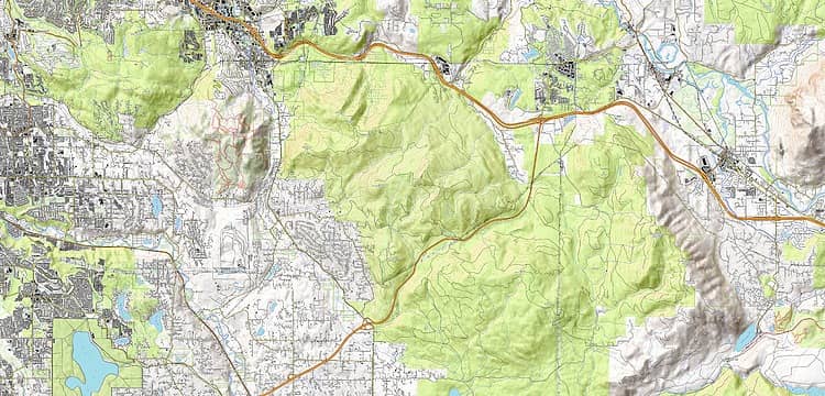 Issaquah Issaquah_jpg^47.409561,-122.171831,47.552028,-121.732378 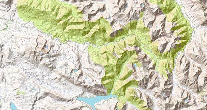 Mountain loop south Mountain_loop_south_jpg^47.956766,-121.882925,48.144728,-121.355581 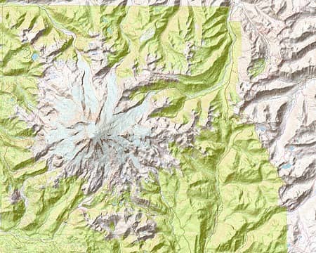 Mt Rainier Mt_Rainier_jpg^46.714150,-121.919918,47.002617,-121.392574 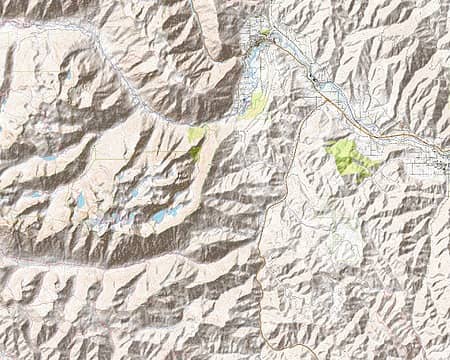 Mt Stuart Mt_Stuart_jpg^47.386903,-120.912781,47.624562,-120.473328  Silver Peak Silver_Peak_jpg^47.211231,-121.585865,47.401951,-121.322193  Teanaway east Teanaway_east_jpg^47.163283,-120.912781,47.401951,-120.473328  US 2 north US_2_north_jpg^47.783404,-121.586809,47.971996,-121.059465  US 2 south US_2_south_jpg^47.609288,-121.586809,47.798570,-121.059465 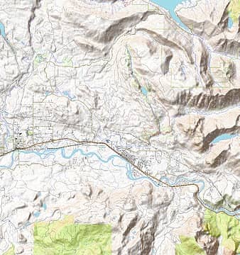 Wallace Falls Wallace_Falls_jpg^47.783404,-121.835461,47.971996,-121.571789 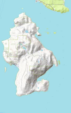 Cypress Island 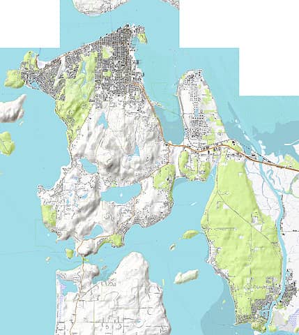 Fidelgo Island 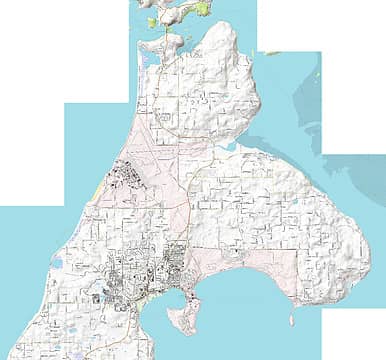 Whidbey Island north
|
| Back to top |
|
|
Joey
verrry senior member
Joined: 05 Jun 2005
Posts: 2799 | TRs | Pics
Location: Redmond |
|
Joey
verrry senior member
|
Sun Mar 03, 2024 11:25 am |
|
|
The large JPG maps I made using the 'Open topo map' basemap (OSM data) have been uploaded to the NWHikers server. However, it looks like Tom and I have a tech issue to deal with before those JPGs can be used by the GeoJPG web app.
Meanwhile, I will upload the other set of large JPGs I made which use the scanned USGS topos basemap.
 Chiwaukum WA_Chiwaukum_big_usgs_gis_jpg^47.594125,-121.074486,47.971996,-120.722923  Cle Elum River North WA_Cle_Elum_River_north_big_usgs_gis_jpg^47.386903,-121.337214,47.624562,-120.897760  Cle Elum River South WA_Cle_Elum_River_south_big_usgs_gis_jpg^47.211231,-121.337214,47.401951,-120.897760  I90 west of pass WA_I-90_west_of_pass_big_usgs_gis_jpg^47.386903,-121.761646,47.624562,-121.322193 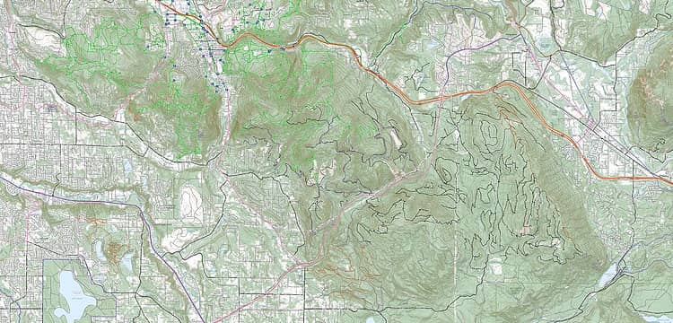 Issaquah WA_Issaquah_big_usa_basemap_jpg^47.409561,-122.171831,47.552028,-121.732378 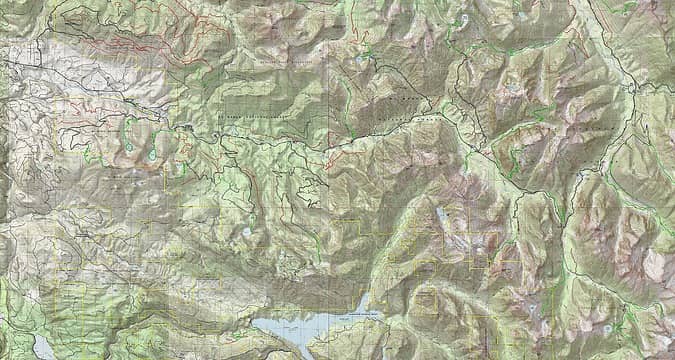 Mountain Loop south WA_Mountain_loop_south_big_usgs_gis_jpg^47.956766,-121.882925,48.144728,-121.355581 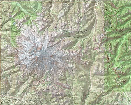 Mt_Rainier WA_Mt_Rainier_big_usgs_gis_jpg^46.714032,-121.919918,47.002617,-121.392574 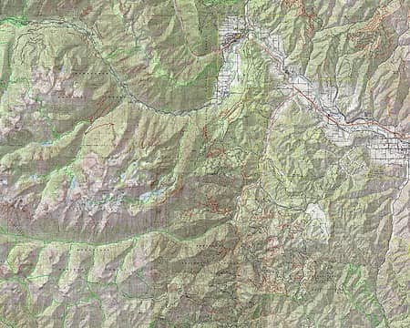 Mt_Stuart WA_Mt_Stuart_big_usgs_gis_jpg^47.386903,-120.912781,47.624562,-120.473328 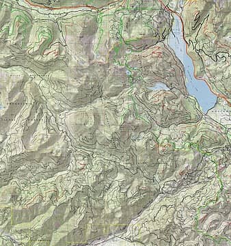 Silver_Peak WA_Silver_Peak_big_usgs_gis_jpg^47.211231,-121.585865,47.401951,-121.322193 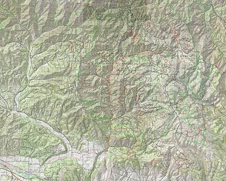 Teanaway_East WA_Teanaway_east_big_usgs_gis_jpg^47.163283,-120.912781,47.401951,-120.473328 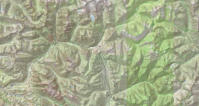 US2_north WA_US_2_north_big_usgs_gis_jpg^47.783404,-121.586809,47.971996,-121.059465 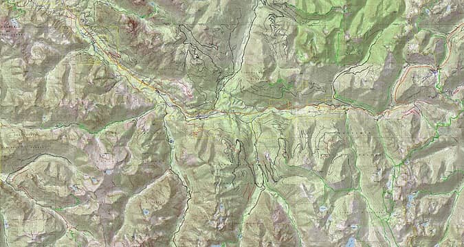 US2_south WA_US_2_south_big_usgs_gis_jpg^47.609288,-121.586809,47.798570,-121.059465 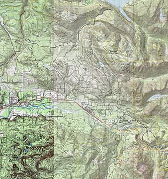 Wallace_Falls WA_Wallace_Falls_big_usgs_gis_jpg^47.783404,-121.835461,47.971996,-121.571789
|
| Back to top |
|
|
Joey
verrry senior member
Joined: 05 Jun 2005
Posts: 2799 | TRs | Pics
Location: Redmond |
|
Joey
verrry senior member
|
Mon Mar 04, 2024 2:31 pm |
|
|
Thanks for the support and ideas.
This whole project has some software tech that, to the best of my knowledge, has not been made widely available before. So it is no surprise that more effort will be required to move past whatever initial rough spots turn up.
Under each of the JPGs I uploaded Tom has added a link. If you click that link then the JPG specification (name^link^georeference) for that JPG is copied to your clipboard. You can then paste that specification into the input box in GeoJPG. Thanks Tom!
However, GeoJPG version 2.00 cannot read that JPG specification since the link is a short link that ends with parameters. I have already fixed that in the development code and will update the production code to version 2.01 later today. Also in Version 2.01:
* Input screen has a button that will put specs for 2 sample maps into the input box. h/t Peter
* Clear screen has an option to clear any black rectangles
Early on I also investigated hosting these kinds of JPGs on Flickr. And that works fine. Flickr provides a direct link to the original size JPG. However, anyone that uses Flickr a bunch should really pay for an account. There also are a variety of other services that also claim to offer free JPG hosting with a direct link. It will take some investigating to see what free hosting options work well with GeoJPG.
I did just learn that GeoJPG can read JPGs hosted on Dropbox but doing so would require the GeoJPG code to use the Dropbox SDK. I prefer a simpler solution.
OK, now for big picture stuff.
I see two parts to this.
Part 1 - Using GISsurfers screenshot mode to make maps.
Part 2 - Using the GeoJPG web app to view JPG maps offline.
Most likely the only people interested in part 1 will be those who geek out over this kind of stuff. And after all, once someone produces JPG maps for an area and makes the JPG specifications (name^link^georeference) publically available, then no one else has to repeat that work for the same area unless you want to see a different basemap and/or different GIS overlays on the JPGs.
Think of map-making like this: Make once - Use many.
So no doubt most people that are interested in this at all will just install GeoJPG and install one or more maps and then go out and do their thing.
My test devices are:
1. Windows 10 PC
2. iPhone 13 Pro
3. 4th generation iPAD
4. Samsung Galaxy S10e
After I do 3 combinations of things that each accesses multiple JPGs on Google Drive then I see a short message asking if I want to read about Google Drive Timeout.
I am not hosting many JPGs on my own server since most people do not have their own server. Most map apps require a subscription, in part, to pay for their server and bandwidth. By making all this free I wanted to take the notion of a paid-for server out of the equation.
Yes, I have always intended that the map making be a collaborative effort. So if anyone is willing to give map-making a try for areas that I have not covered it would maybe be a good idea to stake your claim as it were so no one else repeats that same work. And just to be clear, JPGs hosted on Google drive (or generally anywhere else) can be used by anyone. All you need is the complete JPG specification (name^link^georeference).
The type of cache that web apps use is persistent storage. It is not the same as the typical browser cache that most people are familiar with clearing.
Currently if you want to install different kinds of maps (USGS topo / Open topo / Aerial) for the same area then you need to add a separate GeoJPG screen icon for each type of map. Install each type of map using a different screen icon. It will be like 3 instances of GeoJPG each having its own cache. Easy to flip between the instances. Letting you do this in a single instance of GeoJPG is a planned improvement. No timeline for when that will happen.
Finally, Tom and I talked about the idea of automating more of the map making process for someone using a cell phone to make maps. The show stopper problem here is that the GISsurfer code which lets you make screenshots needs to run on all kinds of devices from desktop PCs to phones. Javascript running on an iOS device simply does not have access to the same set of APIs and other tools that Javascript running on an Android device can use.
|
| Back to top |
|
|
Joey
verrry senior member
Joined: 05 Jun 2005
Posts: 2799 | TRs | Pics
Location: Redmond |
|
Joey
verrry senior member
|
Mon Mar 04, 2024 4:30 pm |
|
|
|
| Back to top |
|
|
Riverside Laker
Member

Joined: 12 Jan 2004
Posts: 2819 | TRs | Pics
|
To be honest, I've not looked at your app yet. I'm completely saturated with my own map projects. But just in case this is useful, there are tiles of the maps available here, which I've been using with leaflet.js.
| Code: | | const USGS_USTopo = L.tileLayer('https://basemap.nationalmap.gov/arcgis/rest/services/USGSTopo/MapServer/tile/{z}/{y}/{x}', {
maxZoom: 22, maxNativeZoom: 16, attribution: 'Tiles courtesy of the <a href="https://usgs.gov/">U.S. Geological Survey</a>' |
|
| Back to top |
|
|
Joey
verrry senior member
Joined: 05 Jun 2005
Posts: 2799 | TRs | Pics
Location: Redmond |
|
Joey
verrry senior member
|
Mon Mar 04, 2024 6:00 pm |
|
|
That basemap is built-in to GISsurfer. It is called "USA basemap".
Riverside Laker
Riverside Laker |
| Back to top |
|
|
Tom
Admin
Joined: 15 Dec 2001
Posts: 17857 | TRs | Pics
|
|
Tom
Admin
|
Mon Mar 04, 2024 6:34 pm |
|
|
Yeah, since Joey is grabbing those tiles from somewhere to display them in gisserver, you would think he could just cache them on the user's device. That would be so much easier. Instead, the user has to go to gisserver, view the desired layer(s), take a screen print, save the geo coordinates, upload the screen print somewhere online, and paste a link to the screen print along with the geo coordinates into GeoJPG. It's painful thinking about screen printing USGS quads for the entire state (which is a task in itself), organizing, uploading, and hosting them here for users to import into the app, given it's somewhat reinventing the wheel as the tiles are already hosted online, he just needs to figure out how to grab the tiles and cache them.
|
| Back to top |
|
|
Joey
verrry senior member
Joined: 05 Jun 2005
Posts: 2799 | TRs | Pics
Location: Redmond |
|
Joey
verrry senior member
|
Tue Mar 05, 2024 9:11 am |
|
|
I made two text files to help make it easy to access the georeferenced JPG maps that are hosted on the NWHikers server. Just paste either text file specification into the GeoJPG input box.
Big thanks to Tom for the help.
Open Topo Map (OSM data)
WA_big_open_topo_txt^https://geojpg.com/txt/NWH_WA_big_open_topo.txt
Scanned USGS topos
WA_big_usgs_topo_txt^https://geojpg.com/txt/NWH_WA_big_usgs_gis.txt
Currently if you want to install both types of maps on your phone you first need to add the GeoJPG icon to your screen twice. Use one screen icon to install one type of map and use the other screen icon to install the other type of map. You can switch between these instances of GeoJPG when offline.
Supporting multiple types of maps in a single instance of GeoJPG is high on the list of features to be added.
|
| Back to top |
|
|
|
|
You cannot post new topics in this forum
You cannot reply to topics in this forum
You cannot edit your posts in this forum
You cannot delete your posts in this forum
You cannot vote in polls in this forum
|
Disclosure: As an Amazon Associate NWHikers.net earns from qualifying purchases when you use our link(s). |


