| Previous :: Next Topic |
| Author |
Message |
Phlox
Member

Joined: 25 Jun 2007
Posts: 48 | TRs | Pics
Location: Seattle, WA |
|
Phlox
Member
|
 Tue Jun 26, 2007 10:21 am |
|
|
This is my first trip report.
With the iffy weather forecast for the Olympics (our original destination), I decided that it would be a good time to check out the Teanaway area. This was my first trip over there, and I was not disappointed!
Day 1: Jon and I got a late start, leaving Seattle around 11am. We arrived at the Stafford Creek trailhead around 1:30. There were 3 other cars, and 2 parties would pass us on their way down. We hit the trail around 2pm and made our way up the pleasantly gentle Stafford Creek trail in sunny weather. There were a ton of butterflies on the trail, congregating around the muddy patches. Some of them looked like this:
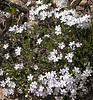
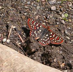 butterfly 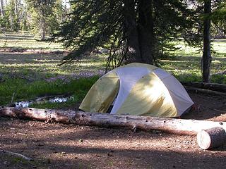 camp 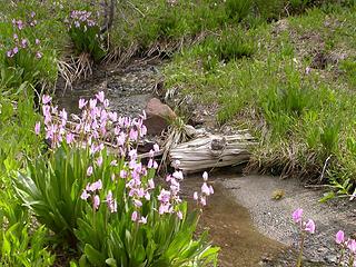 shooting stars 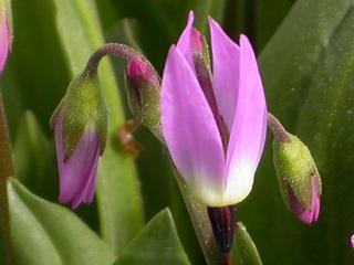 shooting star 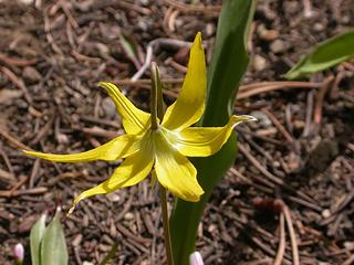 glacier lily 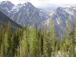 view from Navaho Pass 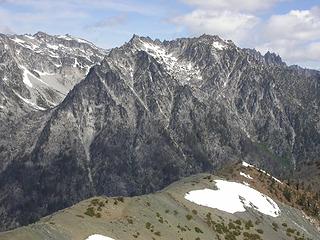 Stuart Range from Navaho Peak - 1 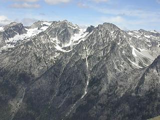 Stuart Range from Navaho Peak - 2 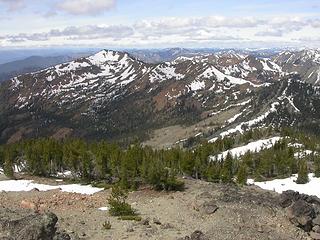 view from Navaho Peak 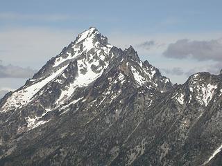 Mt. Stuart from Navaho Peak 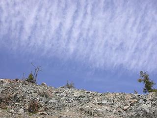 interesting clouds 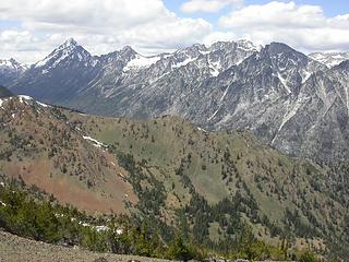 view from Three Brothers 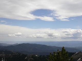 more interesting clouds 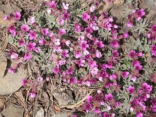 douglasia 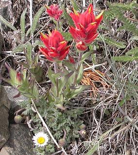 paintbrush  balsam root 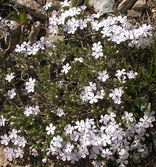 phlox 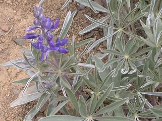 lupine
|
| Back to top |
  
|
|
JimK
Member

Joined: 07 Feb 2002
Posts: 5606 | TRs | Pics
Location: Ballard |
|
JimK
Member
|
Tue Jun 26, 2007 10:38 am |
|
|
I hope this will be the first of many trip reports from you. Not a bad way to spend three days. Looks like Navaho was about 40 degrees warmer than our April visit. There are many more Teanaway peaks for you to explore.
|
| Back to top |
|
|
Tazz
Member

Joined: 27 Apr 2005
Posts: 7902 | TRs | Pics
|
|
Tazz
Member
|
Tue Jun 26, 2007 10:42 am |
|
|
A big welcome!! great report and love the images!!!
|
| Back to top |
|
|
wildernessed
viewbagger

Joined: 31 Oct 2004
Posts: 9275 | TRs | Pics
Location: Wenatchee |
 Is the countyline trail snow free now around Navaho Mtn. ? Is the countyline trail snow free now around Navaho Mtn. ?
Living in the Anthropocene
Living in the Anthropocene
|
| Back to top |
|
|
Phlox
Member
Joined: 25 Jun 2007
Posts: 48 | TRs | Pics
Location: Seattle, WA |
|
Phlox
Member
|
Tue Jun 26, 2007 11:13 am |
|
|
Thanks!
wildernessed- The County Line trail (heading east from the pass) was snow-free at least until the point at which we left it to ascend up Navaho Peak. We never quite figured out where the trail goes around Navaho Peak- I think some of it is probably under snow, but only in patches.
|
| Back to top |
|
|
ragman and rodman
Member

Joined: 28 Apr 2005
Posts: 1219 | TRs | Pics
Location: http://rgervin.com/ |
First trip report or not... you camped in my camp spot... please send me $25.00... I know it's only $5.00 a night at the Beverly Creek Campground, but this is a much better campsite.
|
| Back to top |
|
|
Phlox
Member
Joined: 25 Jun 2007
Posts: 48 | TRs | Pics
Location: Seattle, WA |
|
Phlox
Member
|
Wed Jun 27, 2007 4:04 pm |
|
|
I left a check for you in the summit register, next to your entry- it expires soon, better go up and get it!
|
| Back to top |
|
|
|
|
You cannot post new topics in this forum
You cannot reply to topics in this forum
You cannot edit your posts in this forum
You cannot delete your posts in this forum
You cannot vote in polls in this forum
|
Disclosure: As an Amazon Associate NWHikers.net earns from qualifying purchases when you use our link(s). |


