| Previous :: Next Topic |
| Author |
Message |
JimK
Member


Joined: 07 Feb 2002
Posts: 5606 | TRs | Pics
Location: Ballard |
|
JimK
Member
|
 Tue Jan 19, 2010 12:26 pm |
|
|
Didn't have time to get this up last week. A fun low elevation area close to Seattle.
I have been hiking close in peaks of Cougar, Squak, Tiger, and Rattlesnake Mountains since 1983. I also had looked through Footsore 1 and seen logging road routes on Taylor Mountain. Taylor sits south of West Rattlesnake Mountain and east across Highway 18 from the Tiger Peaks. In recent years some new trails have been built and a new trailhead parking area is in place. I made my first visit just a month ago with Kim. We did a short hike on the Holder Ridge Trail. I decided to return and see a bit more of the area.
The awful forecast was way off and the day turned out to be dry and warm. I had a late start and it was nearly 11:00 am when I got started. I came via Highway 18 from I-90 taking the Hobart Road exit, the first one after Tiger Summit. The trailhead is left under the highway and another few hundred feet. There was only one other car when I arrived. I had a map printed off the Internet and another better one was found at the trailhead.
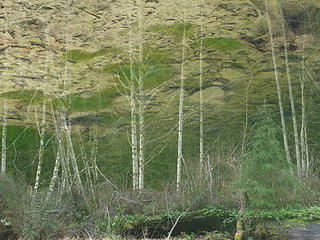
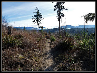 Holder Ridge View 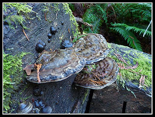 Fungus 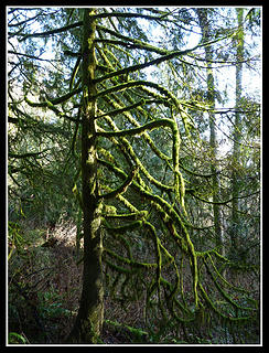 Mossy Tree 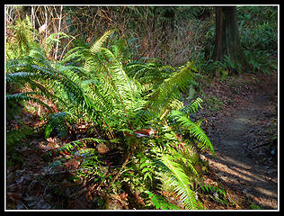 Sun On Ferns 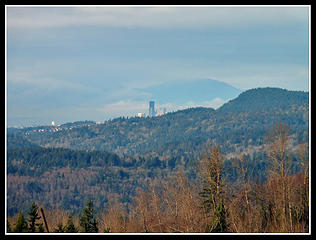 Downtown Seattle 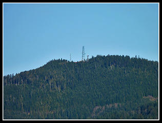 East Tiger Towers 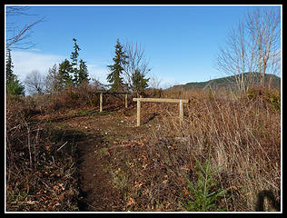 Holder Knob 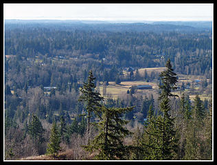 Farms & Homes  Low Clouds 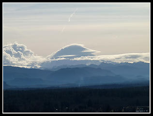 Mt. Rainier In Clouds 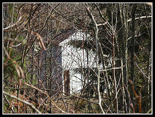 A House? Out Here? 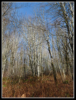 Leafless Trees 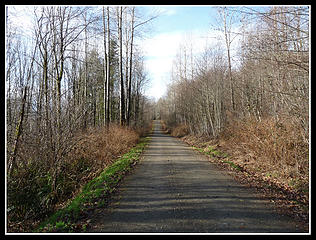 Main Road 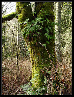 Ferns & Moss On Tree 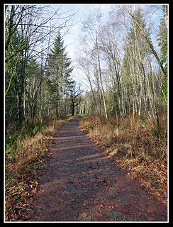 Narrower Road 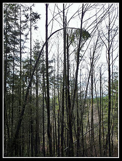 Skinny Tree 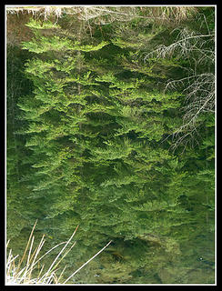 Pond Reflection 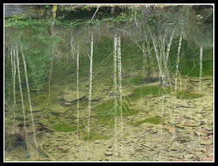 Another Reflection 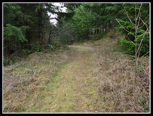 Road Becoming A Trail 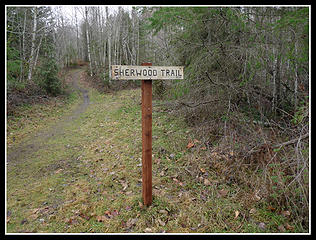 Taylor Mt. Trail Sign
|
| Back to top |
  
|
|
Quark
Niece of Alvy Moore

Joined: 15 May 2003
Posts: 14152 | TRs | Pics
|
|
Quark
Niece of Alvy Moore
|
Tue Jan 19, 2010 12:46 pm |
|
|
Jim its great to have such detail on that confusing labyrinth of trails! I would like to get to those beaver ponds. Nice reflection pics, too! 
"...Other than that, the post was more or less accurate."
Bernardo, NW Hikers' Bureau Chief of Reporting
"...Other than that, the post was more or less accurate."
Bernardo, NW Hikers' Bureau Chief of Reporting
|
| Back to top |
|
|
ArnVikings
Member
Joined: 28 May 2008
Posts: 79 | TRs | Pics
|
Great report Jim! Very nice pics. Thanks!
|
| Back to top |
|
|
Joey
verrry senior member

Joined: 05 Jun 2005
Posts: 2799 | TRs | Pics
Location: Redmond |
|
Joey
verrry senior member
|
Tue Jan 19, 2010 2:00 pm |
|
|
Jim,
Do you ever try taking a reflection shot, inverting it and cropping out the ground?
I was thinking of that when I saw your alder reflection shot.
|
| Back to top |
|
|
JimK
Member
Joined: 07 Feb 2002
Posts: 5606 | TRs | Pics
Location: Ballard |
|
JimK
Member
|
Tue Jan 19, 2010 2:42 pm |
|
|
Something like this?
 Reflection_Flip 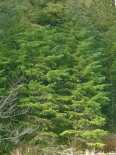 Reflection_Flip2
|
| Back to top |
|
|
Joey
verrry senior member
Joined: 05 Jun 2005
Posts: 2799 | TRs | Pics
Location: Redmond |
|
Joey
verrry senior member
|
Tue Jan 19, 2010 4:29 pm |
|
|
Exactly. Sometimes the bottom rocks will look like a wave of advancing UFOs. Other times the inverted pic will strike the viewer as 'different' yet they cannot immediately understand why.
|
| Back to top |
|
|
raising3hikers
Member

Joined: 21 Sep 2007
Posts: 2344 | TRs | Pics
Location: Edmonds, Wa |
Thanks for that detailed report for a little known local hike. It's nice to know of another snow free hiking area I never knew there was a trail for Taylor Mtn. I always thought that area was nothing but tree farms
|
| Back to top |
|
|
|
|


