GaliWalker
Have camera will use


Joined: 10 Dec 2007
Posts: 4930 | TRs | Pics
Location: Pittsburgh |
|
GaliWalker
Have camera will use
|
 Mon Feb 26, 2024 11:51 am |
|
|
Blackrock - Trayfoot Mountain - Paine Run loop
One of my favorite spots in Shenandoah National Park is Blackrock Summit, which has some interesting boulder gardens. Yesterday, I did a loop hike in Shenandoah, centered around Blackrock Summit. The forecast was all over the place and had been constantly changing in the lead up to hike day: rain, misty conditions, possibly snow, and maybe thunderstorms. I mentally prepared myself for all of them.
I knew I wasnt going to get a sunrise, so I left the house at a more reasonable hour, to arrive at the Blackrock Summit trailhead on Skyline Drive at 10:30am. I picked up the Appalachian Trail and hiked the 0.5mi to Blackrock Summit in no time. Due to the unpredictable forecast, I decided to get my photography at Blackrock Summit out of the way, and not leave it for my return (and potentially better light). I scuttled around taking selfies and exploring the boulder gardens for about 1.75hrs, at which point a wintery mix of rain and snow started to fall, which put a stop to the proceedings.
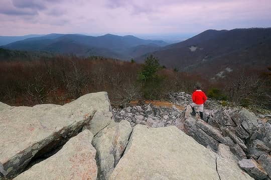 1- Looking towards Trayfoot Mountain (on the right). I would roll over its summit and then descend into the valley in the far distance (the furthest bump at center). 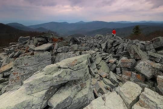 2 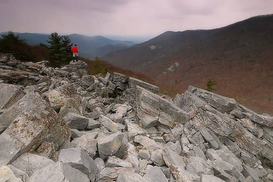 3 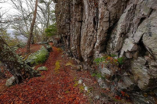 4- Trayfoot Mountain Trail 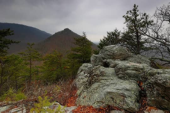 5- Buzzard Rock in the distance 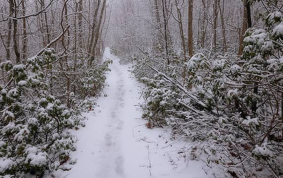 6- Appalachian Trail
'Gali'Walker => 'Mountain-pass' walker
bobbi: "...don't you ever forget your camera!"
Photography: flickr.com/photos/shahiddurrani
 Snowdog, Anne Elk, Bernardo, awilsondc, John Mac, meck, RichP, gb Snowdog, Anne Elk, Bernardo, awilsondc, John Mac, meck, RichP, gb
'Gali'Walker => 'Mountain-pass' walker
bobbi: "...don't you ever forget your camera!"
Photography: flickr.com/photos/shahiddurrani
Snowdog, Anne Elk, Bernardo, awilsondc, John Mac, meck, RichP, gb
|


