GaliWalker
Have camera will use


Joined: 10 Dec 2007
Posts: 4930 | TRs | Pics
Location: Pittsburgh |
|
GaliWalker
Have camera will use
|
 Sun Jul 20, 2008 2:00 pm |
|
|
July 19, 2008: 5th of July Mountain, from Basalt Ridge
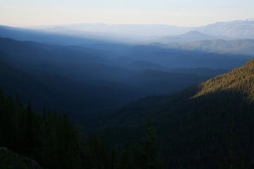
Complete solitude, an incredibly green forest, meadows galore, pumice fields, a flower display to rival the best, views of peaks near and far, all culminating in a perch high in the sky - this turned out to be one of the most beautiful and varied ridge systems I have yet hiked on. For all the (justifiable) press that the Buck Pass High Pass ridge walk (amongst others) gets, I am amazed that this one is so overlooked.
My usual early start had me at the Basalt Pass trailhead and on the trail by 5:00am. The hike started off like a bat out of hell; wasting no time in getting to Basalt Pass (~1,200ft in a little more than a mile). The most beautifully lush green forest floor that I have recently seen was a soothing balm for the exertion: deep greens, arranged in complex leafy patterns, carpeted the valley slopes.
Basalt Pass, on Basalt Ridge was treed and viewless; a most innocent start to the ridge walks to follow. However, first views on Basalt Ridge were soon on offer, as I was treated to a lovely sunrise, sending slanting warmth into the valley I just climbed out of. The flower show, which was to keep me company almost throughout the hike, also began and blinding colors assaulted my senses brought out even more by sunny backlighting.
 4 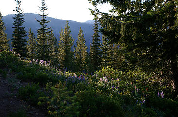 5 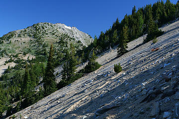 18 - Pumice fields and the gentler side of Rampart 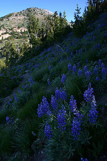 19 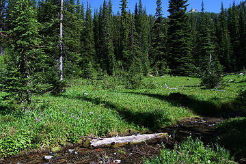 20 - Raven's Roost 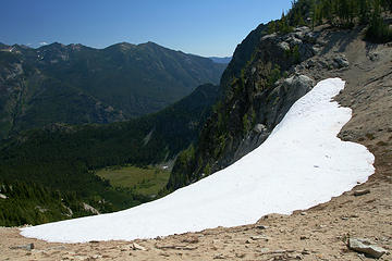 21 - Cow Creek meadows 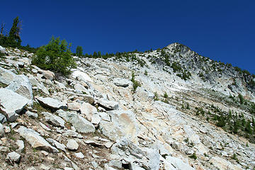 22 - 5th of July summit 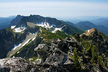 23 - Summit views: Rampart Mtn 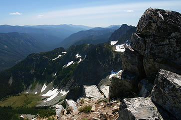 24  2 labels 26 - Summit views: Maude and company 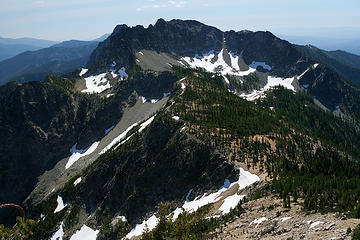 28 - Summit views: 5th of July Pass and Rampart 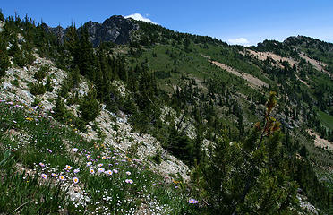 30 (heading back)
|


