| Previous :: Next Topic |
| Author |
Message |
williswall
poser


Joined: 30 Sep 2007
Posts: 1968 | TRs | Pics
Location: Redmond |
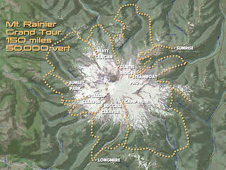 Rainier Grand Tour 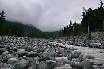 1.1 cloudy over Nisqually River 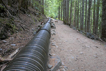 1.2 the pipe 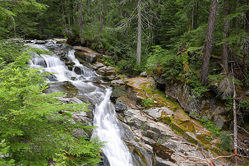 1.3 Carter Falls 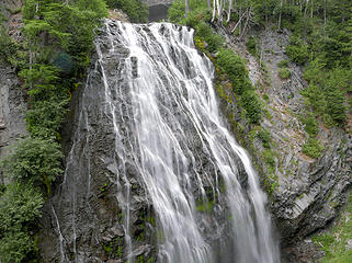 1.4 Narada Falls 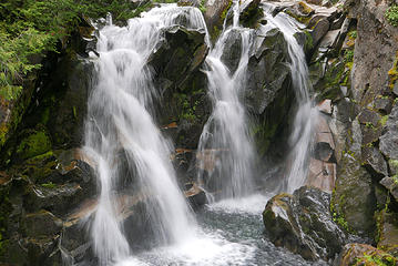 1.5 Paradise River falls 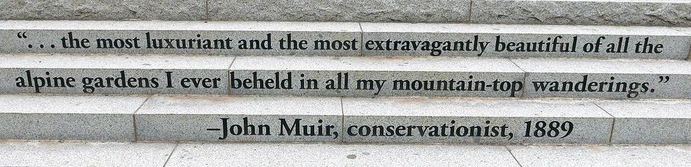 1.6 new steps at Paradise 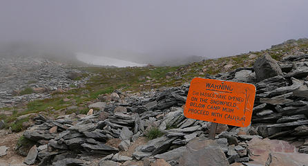 1.7 Crevasse warning 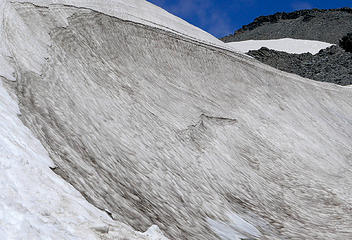 1.8 snow ramps below Muir snowfield 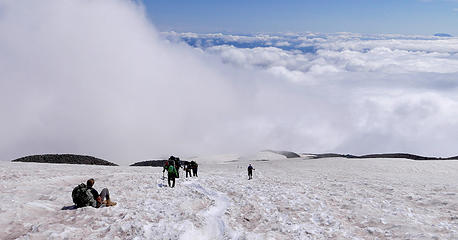 1.9 typical scene on Muir snowfield 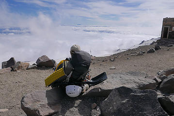 1.10 contemplating the struggle ahead 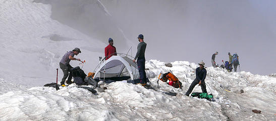 1.11 prepping for tonight 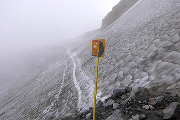 1.14 step carefully 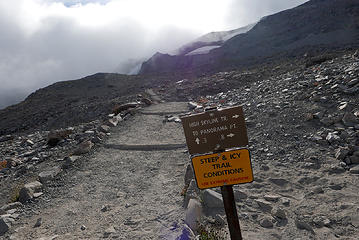 1.15 after the fact 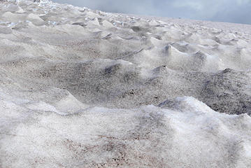 1.12 suncups on the snowfield 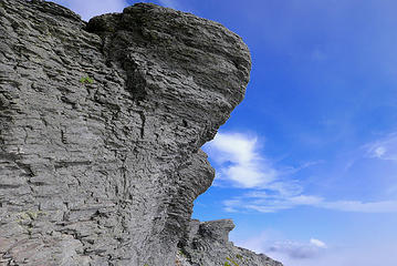 1.13 rock formations on the Skyline trail 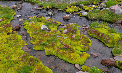 1.16 oasis on the Skyline trail 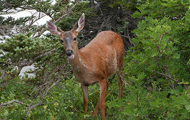 1.17 "you talkin' to me?" 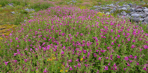 1.18 crowded field 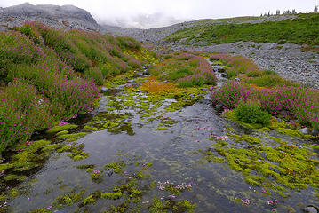 1.19 land of contrasts 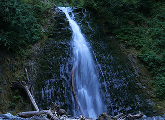 1.20 a dwindling Martha Falls 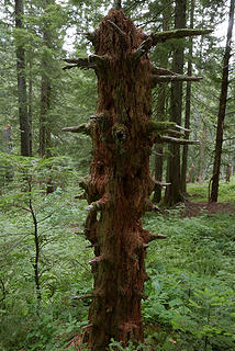 2.0 still standing 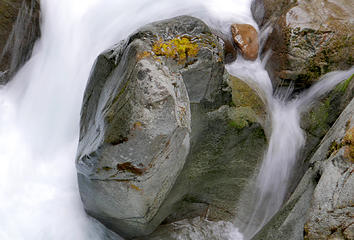 2.1 Stevens Creek 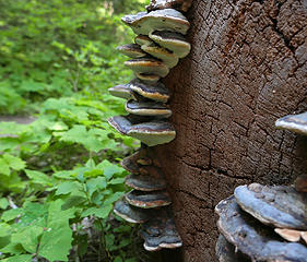 2.2 stacked shrooms 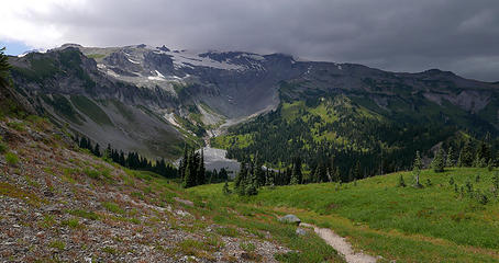 2.3 Indian Bar straight ahead 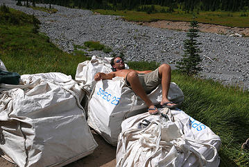 2.4 Bark-a-Lounger 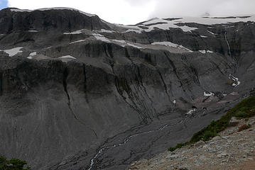 2.6 feeding the Ohanapecosh 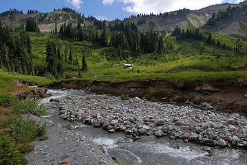 2.6 Idyllic Indian Bar  2.7 steps on snow- nada  2.9 mini falls in Ohanapecosh Park  2.10 camping spot dead ahead  2.11 snow field remnants  2.12 Panhandle Gap to left of trees  3.0 sunrise below Banshee  3.01 early morning in Ohanapecosh Park  3.02 Banshee right, Cowlitz Chimneys center 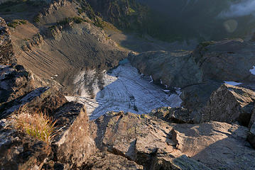 3.03 a long way down 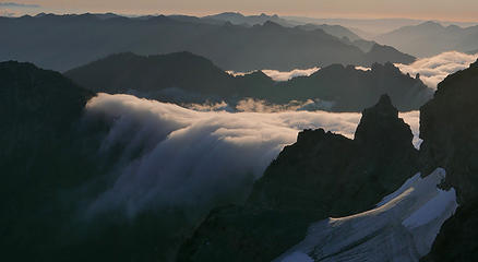 3.04 flowing clouds 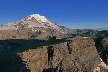 3.05 cliffs and shadow 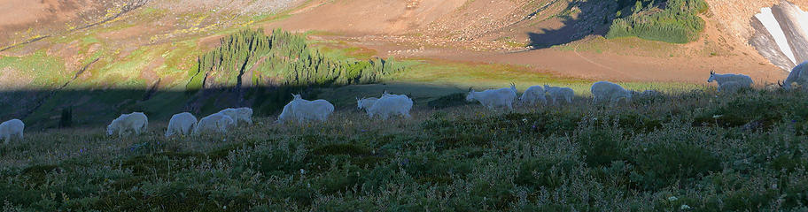 3.06 goat line 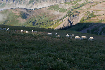 3.07 fluffballs in field 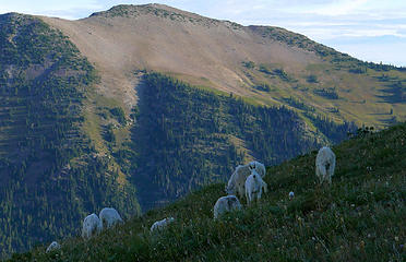 3.08 goats below Goat Island Mountain 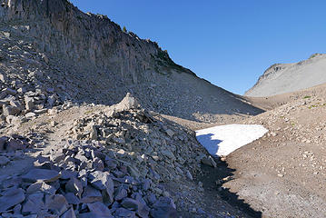 3.09 snow free Panhandle Gap 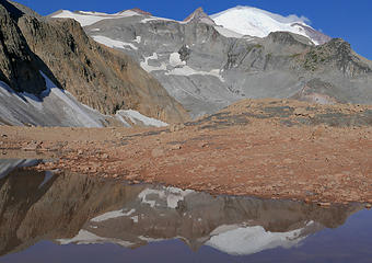 3.10 a few tarns left 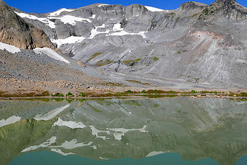 3.11 the Green Tarn 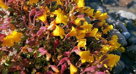 3.12 thriving around water 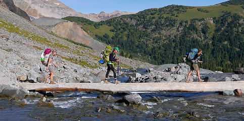 3.13 crossing Fryingpan Creek 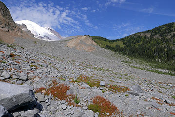 3.14 terrain ahead to access Goat Island Mtn  3.15 view from the saddle  3.16 saddle pano  3.17 looking down ridgeline to access point  3.19 zoom of Banshee  3.20 Summerland center, Panhandle Gap upper left  3.21 the "other" Green Tarn, Sunrise upper right  3.22 GIM just before descent off ridge
|
| Back to top |
  
|
|
olderthanIusedtobe
Member

Joined: 05 Sep 2011
Posts: 7722 | TRs | Pics
Location: Shoreline |
Wow, your pics from your morning climb of Banshee and the goat herd are stunning! Nice job.
|
| Back to top |
|
|
the Zachster
Member

Joined: 17 Jan 2007
Posts: 4776 | TRs | Pics
Location: dog training |
What a great variation for going around the Mountain! I'm looking forward to Part 2!
"May I always be the kind of person my dog thinks I am"
"May I always be the kind of person my dog thinks I am"
|
| Back to top |
|
|
Distel32
Member
Joined: 03 Jun 2014
Posts: 961 | TRs | Pics
Location: Edmonds, WA |
|
Distel32
Member
|
 Sat Jul 25, 2015 9:12 pm |
|
|
|
| Back to top |
|
|
|
|
You cannot post new topics in this forum
You cannot reply to topics in this forum
You cannot edit your posts in this forum
You cannot delete your posts in this forum
You cannot vote in polls in this forum
|
Disclosure: As an Amazon Associate NWHikers.net earns from qualifying purchases when you use our link(s). |


