| Previous :: Next Topic |
| Author |
Message |
BeardoMcGrath
Member

Joined: 16 Jan 2018
Posts: 143 | TRs | Pics
Location: Snohomish |
Edit: I have been asked to remove some identifying info for this sensitive area, but enterprising folks should be able to figure out where this is.
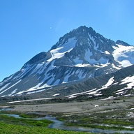
With great weather forecasted on Saturday, I wanted to get into the alpine and also take in some late season views before the snow started to fly. I had considered Labyrinth Mountain and Minotaur Lake, but after my sister did Pilchuck as a sunrise hike I reconsidered and headed for that area instead. I figured fall is a good time to go with the snow melted and bugs generally minimal.
After driving slowly up the NF road to the trailhead (the potholes on this road are quite notable). I was on my way just after 9:30. The first section of the trail was nice gravel, before becoming rooty and steep on the way to the lower lake. There are a few nice, large cedars before climbing uphill. I made it to the lower lake in about an hour, and stopped for a snack by the outlet, which was still in the shade.
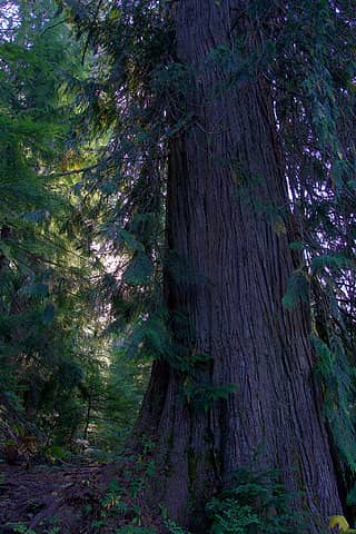 Big cedar 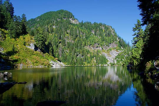 Lower lake 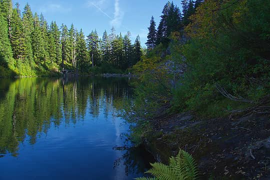 Slick rocks by lower lake 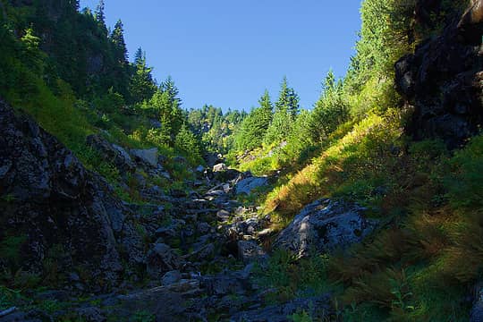 Lower gulch 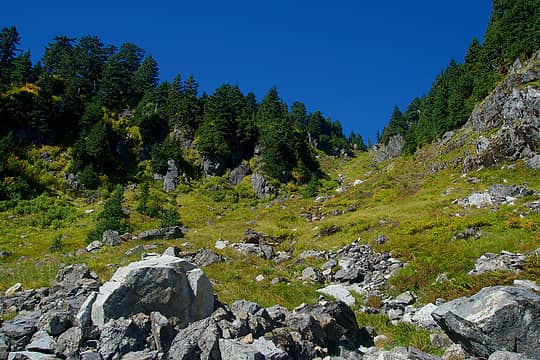 Upper gulch 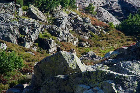 Marmot 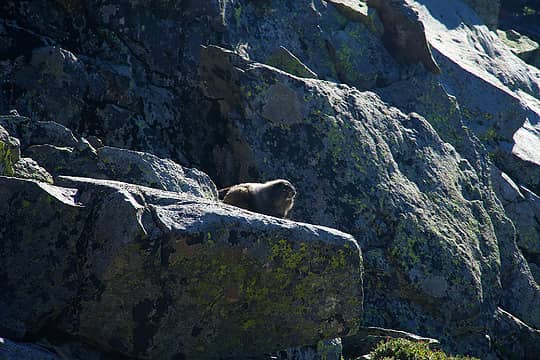 Plump for winter 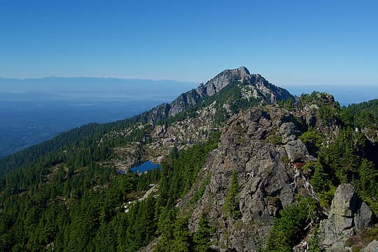 Pilchuck 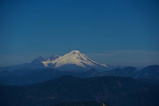 Baker 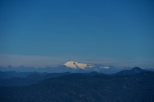 Shuksan 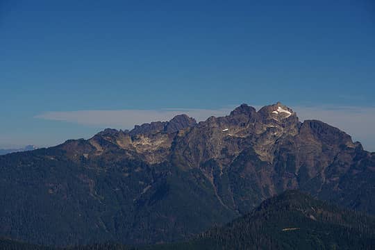 Three Fingers 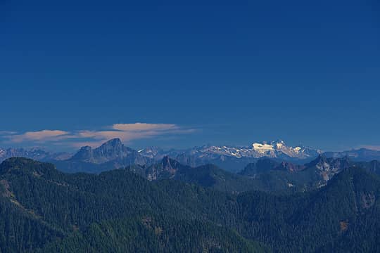 White Chuck, Dome 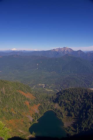 Vertical relief 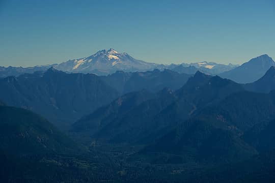 Glacier and Upper South Fork Stillaguamish Valley 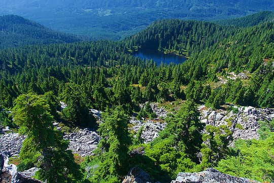 View down to Summit Lake 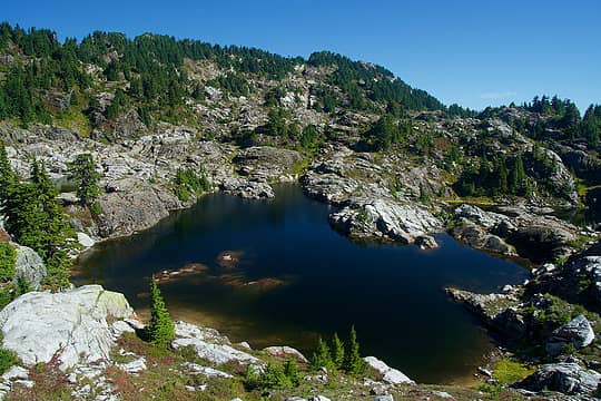 Largest lake from the west (note cliff on left) 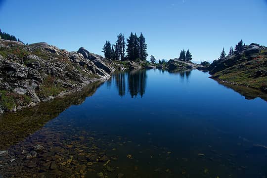 Smaller, deep lake 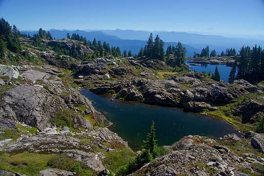 Lakes from above (closer one great for a 2nd swim) 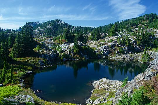 Looking back across the first lake 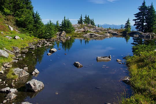 Tarns along the trail 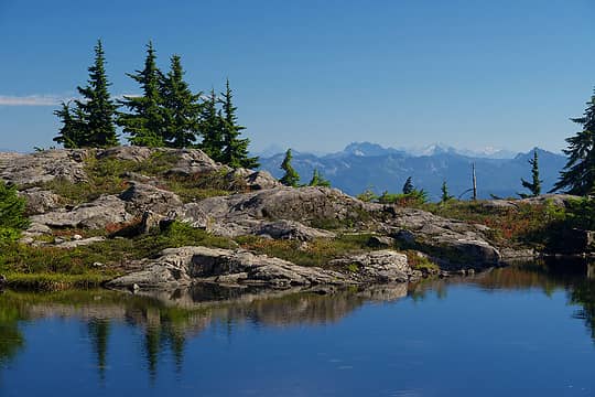 Gunn and Baring in the distance 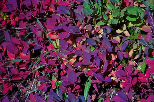 Fall colors 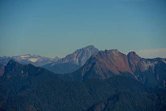 R-L: Big 4, Sloan, Clark, White Chuck Gl. 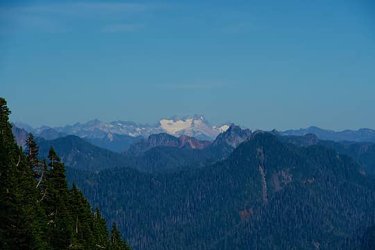 Dome 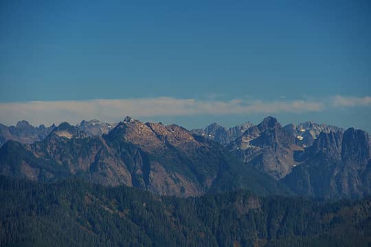 Vesper, Del Campo, with Monte Cristo Group behind 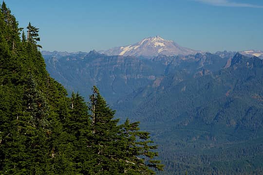 Glacier
|
| Back to top |
  
|
|
KascadeFlat
Member
Joined: 06 Jul 2020
Posts: 320 | TRs | Pics
Location: Eating peanut M&Ms under my blue tarp |
An old favorite. It's fun to start at the top of the three large lakes, swim across each one and then turn around and swim across them all in the reverse order. The Bathtub Lakes Triple Crown! 
For a good time call: 1-800-SLD-ALDR.
For a good time call: 1-800-SLD-ALDR.
|
| Back to top |
|
|
Brushbuffalo
Member

Joined: 17 Sep 2015
Posts: 1887 | TRs | Pics
Location: there earlier, here now, somewhere later... Bellingham in between |
Exceptionally clear pictures. Lovely.
Passing rocks and trees like they were standing still
Passing rocks and trees like they were standing still
|
| Back to top |
|
|
iron
Member

Joined: 10 Aug 2008
Posts: 6392 | TRs | Pics
Location: southeast kootenays |
|
iron
Member
|
 Thu Sep 30, 2021 9:37 pm |
|
|
always wanted to do that trip with the kids as an overnighter.
|
| Back to top |
|
|
|
|
You cannot post new topics in this forum
You cannot reply to topics in this forum
You cannot edit your posts in this forum
You cannot delete your posts in this forum
You cannot vote in polls in this forum
|
Disclosure: As an Amazon Associate NWHikers.net earns from qualifying purchases when you use our link(s). |


