| Previous :: Next Topic |
| Author |
Message |
Gimpilator
infinity/21M


Joined: 12 Oct 2006
Posts: 1684 | TRs | Pics
Location: Edmonds, WA |
First, I met up with my friend Sara from the Vegas area, for some more technical objectives. She says she not as good at climbing as she used to be, but her nerve on steep terrain is 10x what mine is. Also when it comes to potentially dangerous situations, she has a lot of experience, whether its flying cargo planes for the military, guiding river rafting expeditions, leading multi-pitch trad, or riding motorcycles.
11-14
Courthouse Butte 5451
Courthouse Butte is a lovely mountain in the Sedona area. Like most of the peaks in this area, there are numerous ruins on the exposed ledges.
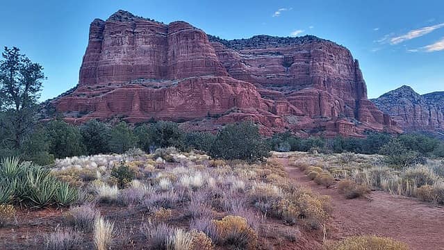 Courthouse 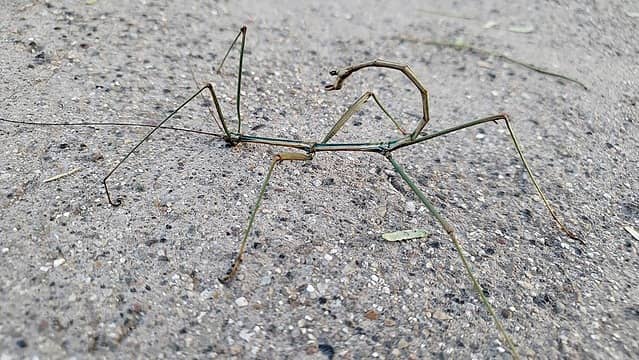 walking stick 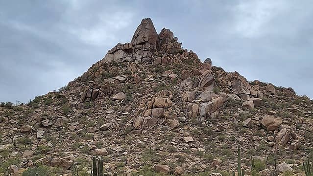 Pinnacle 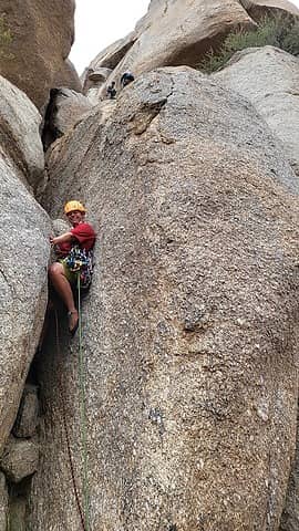 1st pitch 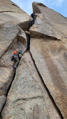 2nd pitch 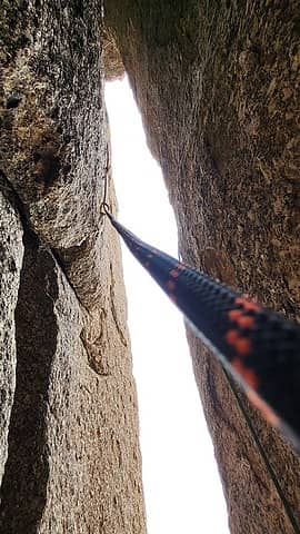 3rd pitch 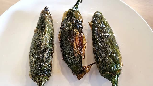 happiness is a warm tongue 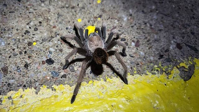 this was under my tent  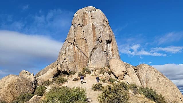 Tom's Thumb 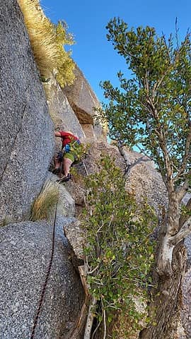 1st pitch 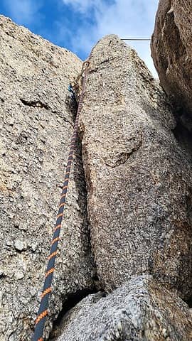 2nd pitch 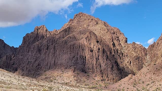 High Peak south face 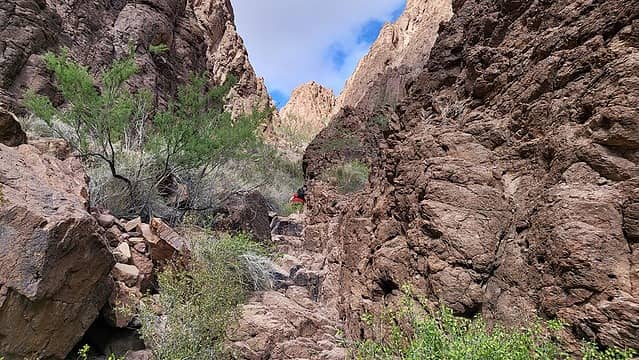 canyon 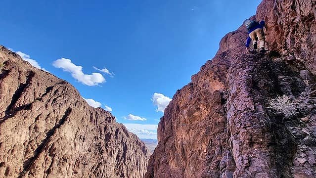 typical ledges 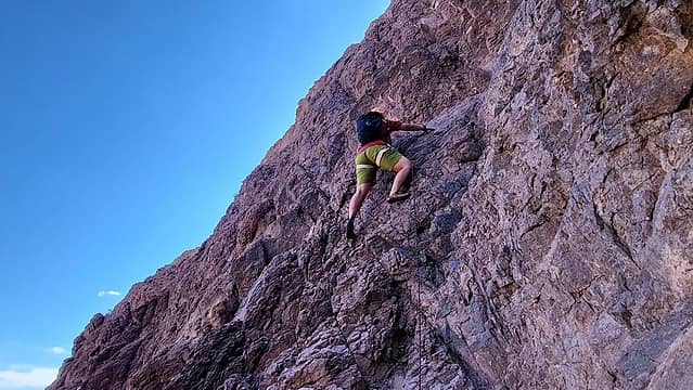 Sara getting after it 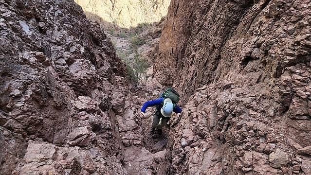 Matthias near the top of the dryfall 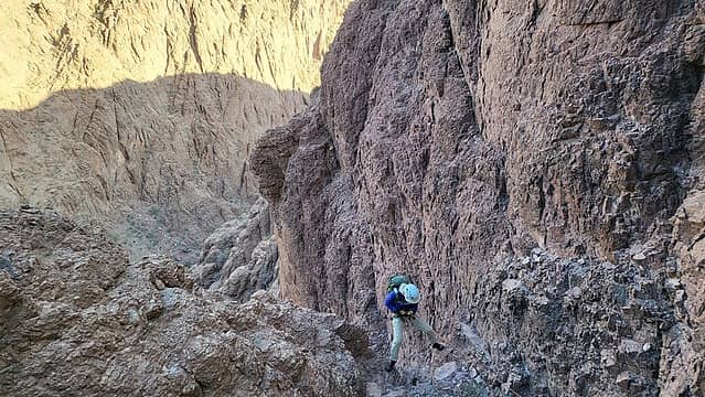 bailing  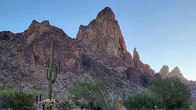 Spire 3581 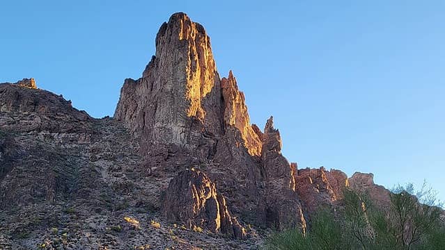 Spire 3581 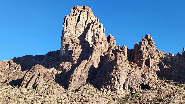 Spire 3581 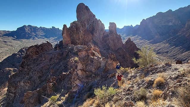 near the base of the climb 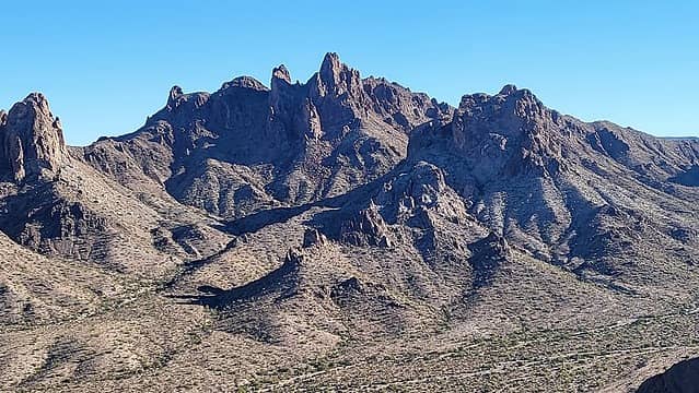 Kofa Queen 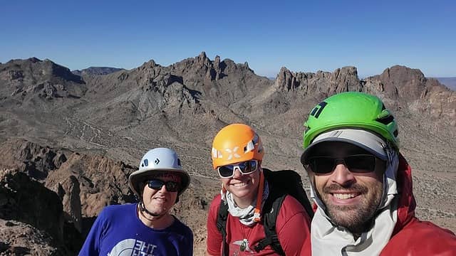 summit bliss 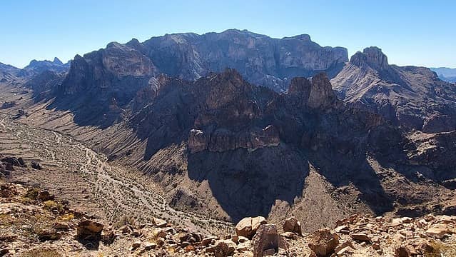 Signal 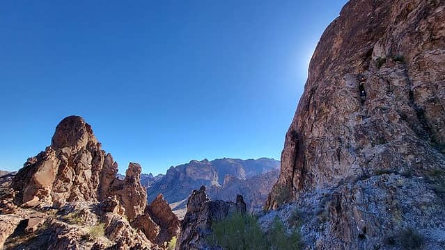 Can you spot Sara and Matthias? 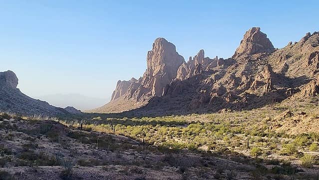 Spire 3581 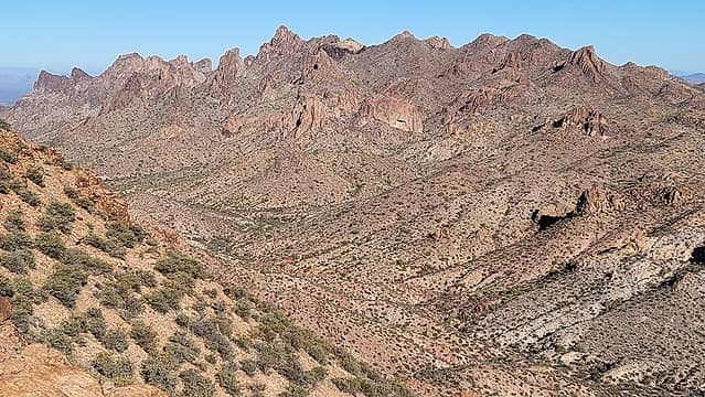 Kofa Queen 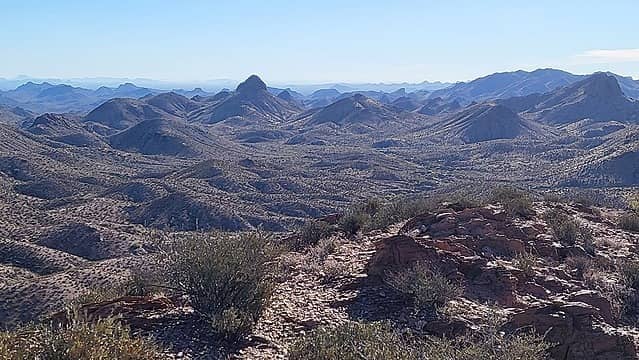 Peak 3588 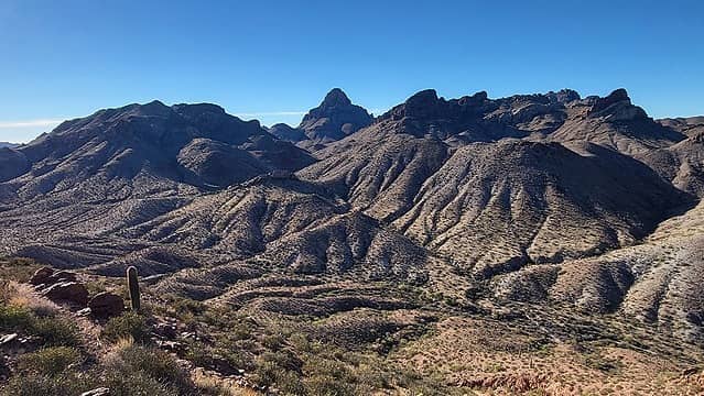 our next two peaks with Squaw in between 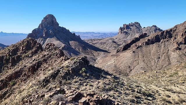 Squaw and Old Smokey 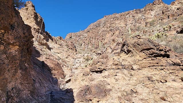 drainage 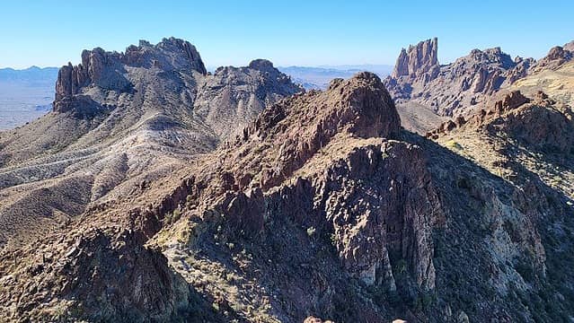 Old Smokey and Summit Peak 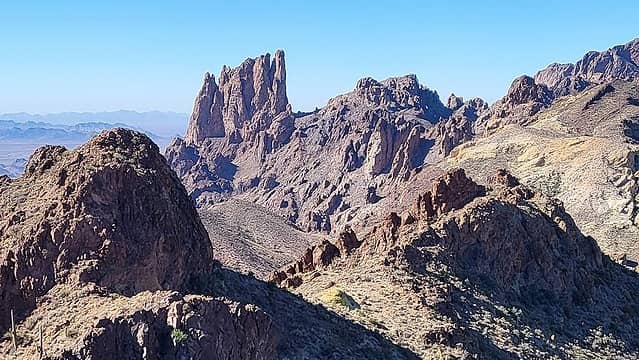 Summit Peak has very few ascents 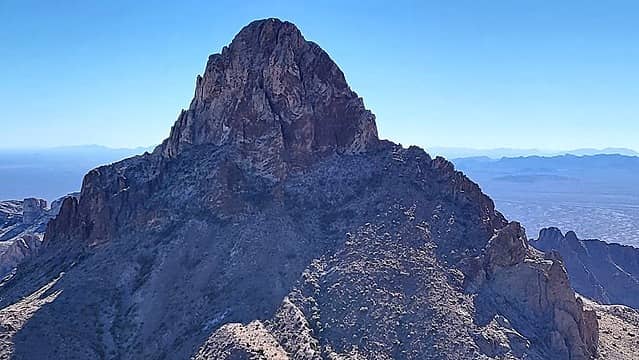 Squaw has one known ascent 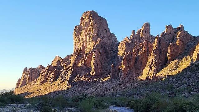 Spire 3581 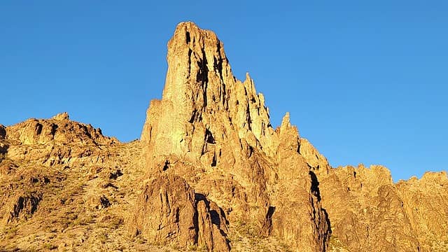 last look at our prized Spire 3581 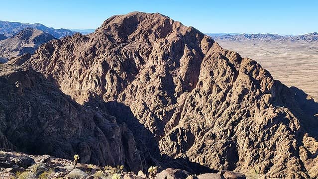 High Peak 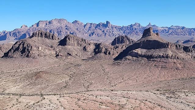 Castle Dome Mountains foreground, Kofa background  John Morrow  Peak 2001
|
| Back to top |
  
|
|
Gimpilator
infinity/21M
Joined: 12 Oct 2006
Posts: 1684 | TRs | Pics
Location: Edmonds, WA |
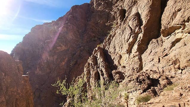
High Peak - 2716'
Thinking that we might find Andys dryfall, we climbed out of the canyon more directly than the approach Matthias discovered. We still didnt find it. Below the dryfall we climbed two days prior, we scrambled along a narrow exposed ledge to a cholla.
 key shaded approach ledge at center (not the ledge which leads to a cholla) 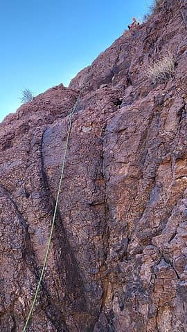 Sara's belay 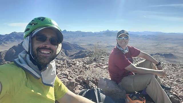 High summit 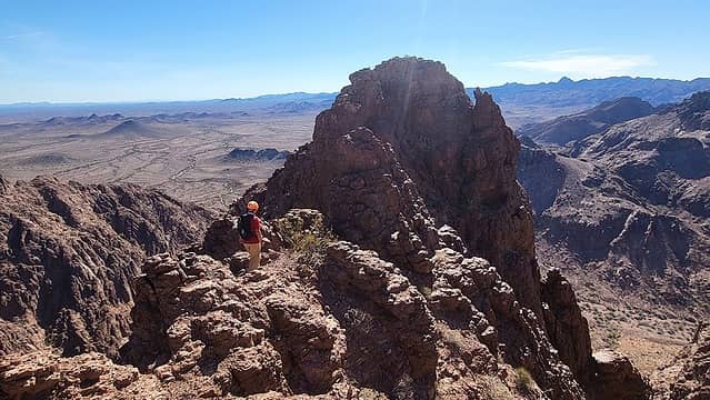 best part of the chossy route 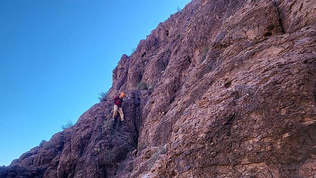 Sara just walks where I need a belay 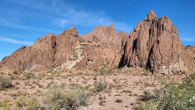 white rock left of drainage 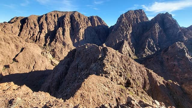 narrow section 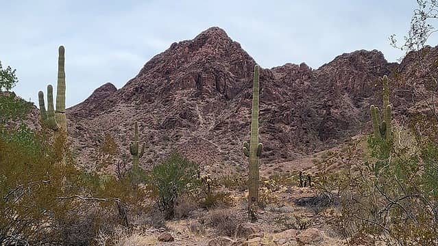 Twin 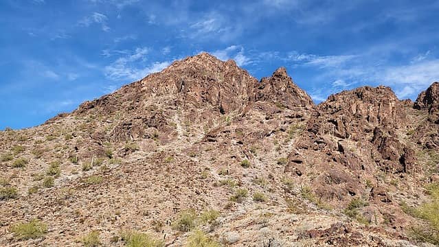 Twin 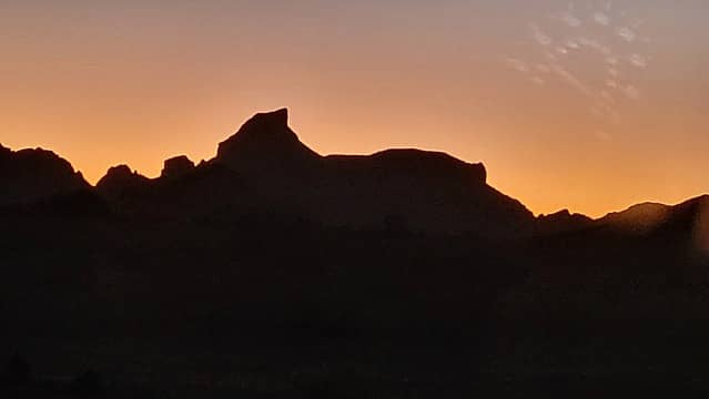 Peak 2651 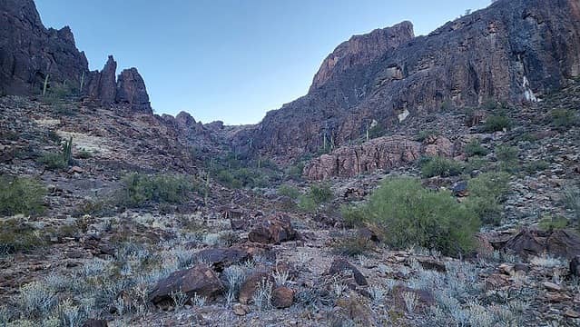 west drainage 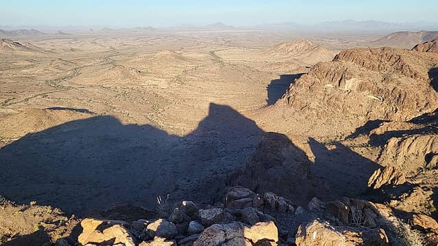 the peaks shadow 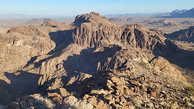 Peak 2680 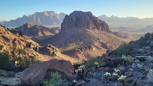 Stagecoach 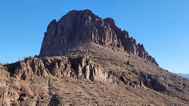 Stagecoach 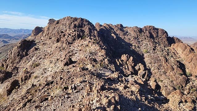 summit far right, 2 hidden notches out of view 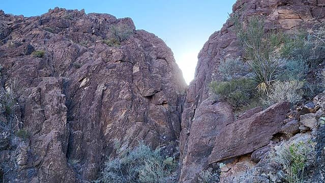 1st notch 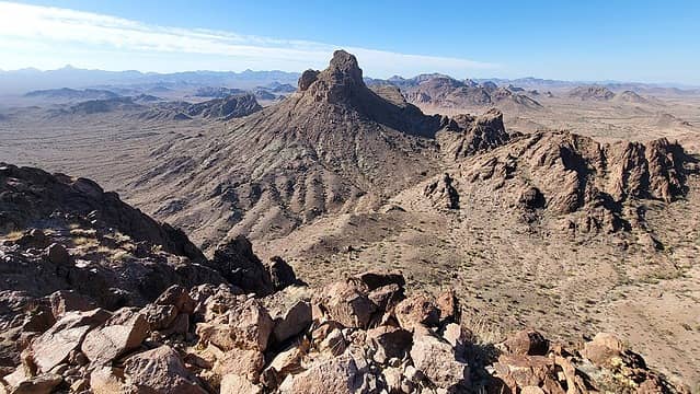 looking back at Peak 2651 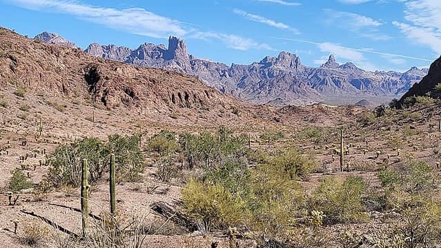 Summit, Old Smokey, Squaw 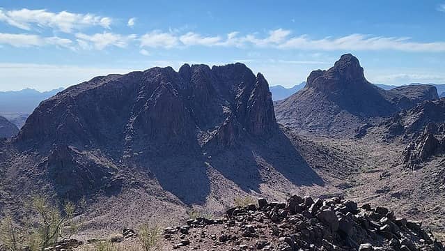 Stagecoach and Peak 2651 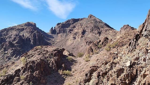 Peak 2680 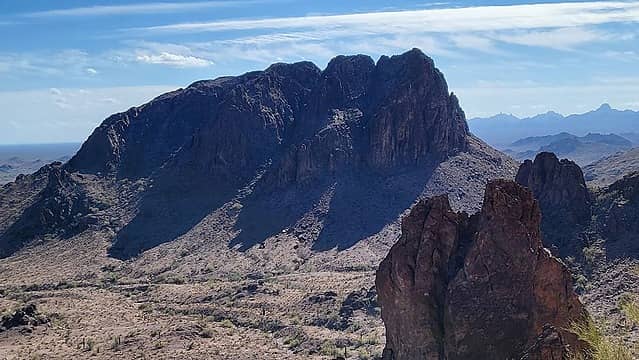 the shadow of Stagecoach exposes the hidden deep notches 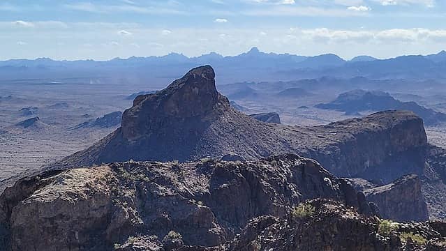 Peak 2651 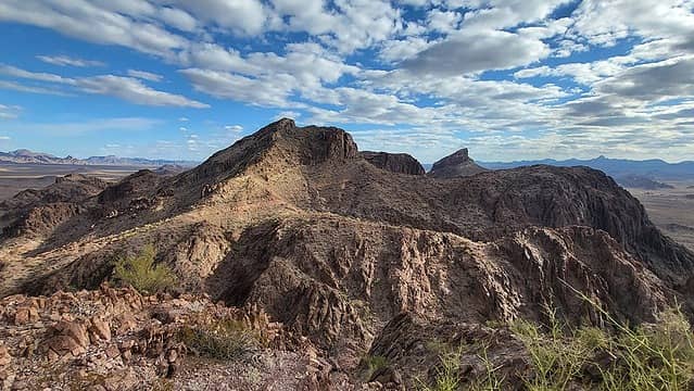 looking back at Peak 2680 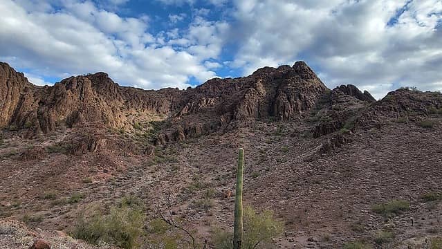 descended this side 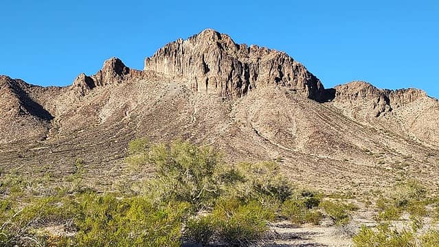 Coyote 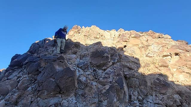 descending from the false summit 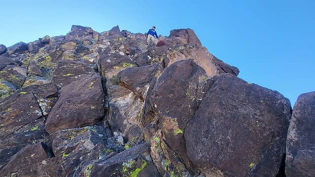 Matthias descending from the summit 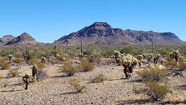 Peak 2810 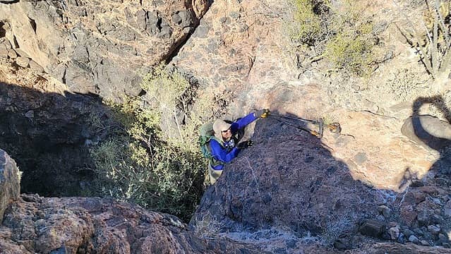 The class 5 step 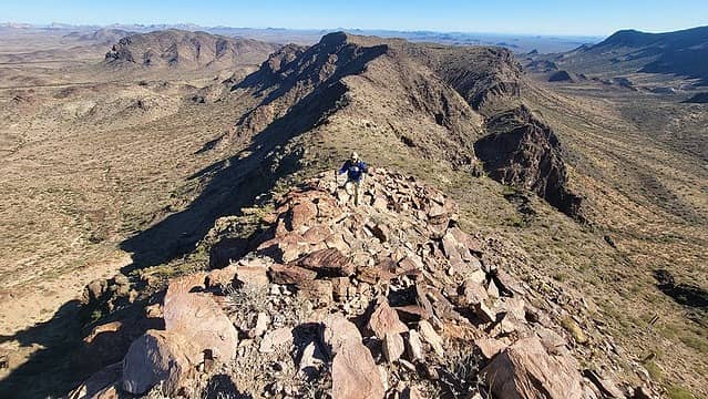 southeast ridge  north ridge 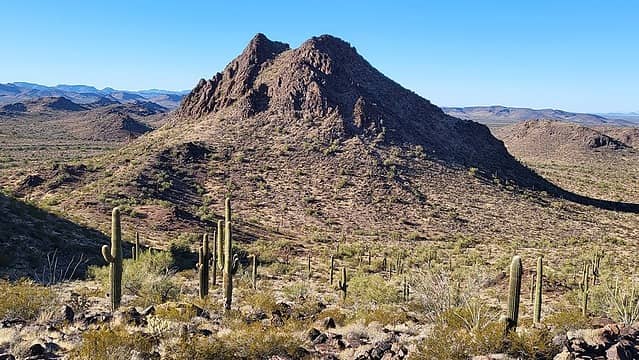 Peak 2184 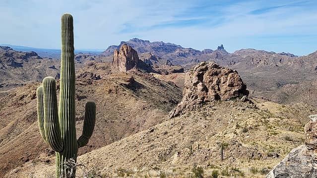 Superstitions 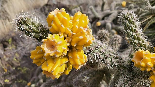 Have tasted these cholla fruit a few times. They look good but taste bad. 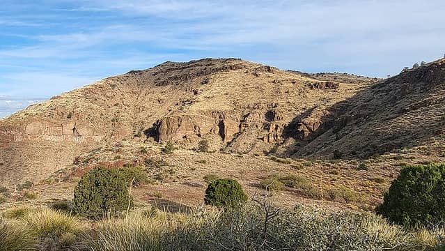 Peak 6655 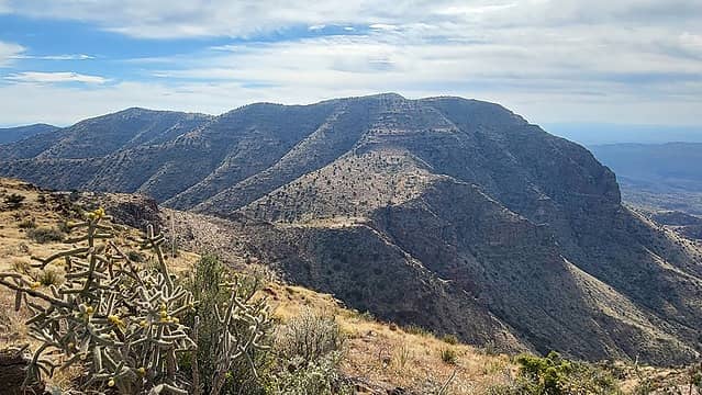 Turtle 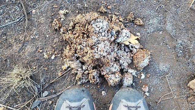 frosty bear-cairn 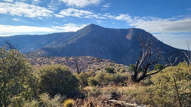 Maple 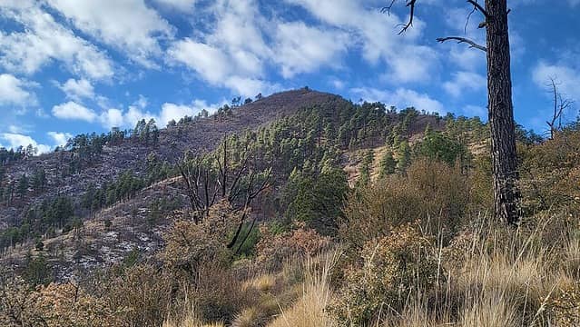 Maple 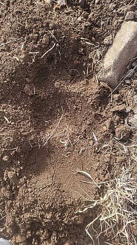 bear track 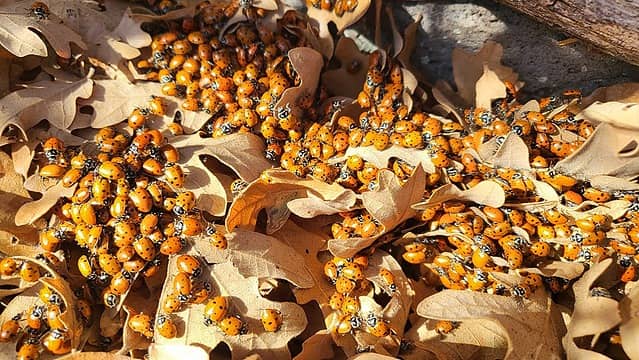 summit ladybug convention 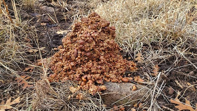 6 inch high bear-cairn
|
| Back to top |
|
|
rubywrangler
Member

Joined: 04 Aug 2015
Posts: 511 | TRs | Pics
|
Just missed you, was in Sedona 11/16. Thought about seeing how far I could get up courthouse butte, but opted for canyon exploration and ruin hunting instead.
Thanks for the ideas for later this winter! Id like to go back to Kofa
after I replace my cracked rear differential case. Off-roading in the CR-V finally caught up with me 
|
| Back to top |
|
|
SeanSullivan86
Member

Joined: 25 Jul 2009
Posts: 681 | TRs | Pics
Location: Seattle, WA |
Jeeze, endless amount of peaks out there in the desert.
Barbara and Gordon really got after it back in the day, didn't they? I always see their names when you make these summary posts from your trips.
|
| Back to top |
|
|
raising3hikers
Member
Joined: 21 Sep 2007
Posts: 2344 | TRs | Pics
Location: Edmonds, Wa |
Good stuff, Adam. You got my mind on some desert stuff again
|
| Back to top |
|
|
Gimpilator
infinity/21M
Joined: 12 Oct 2006
Posts: 1684 | TRs | Pics
Location: Edmonds, WA |
Thanks Eric!
| rubywrangler wrote: | | Just missed you... |
Would have been pretty funny to run into you twice in the Sedona area. Sorry to hear about your car damage.
| SeanSullivan86 wrote: | | Barbara and Gordon really got after it back in the day, didn't they? I always see their names when you make these summary posts from your trips. |
What Gordon and Barbara achieved is tremendous in scope. Remember that they were using paper maps from the library. The internet didn't exist. It's not common knowledge, but Barbara was the first person to climb the 5 highest peaks in North America. She has lived the ultimate peakbagger life and was still actively peakbagging until this last year. I had a chance-encounter with her, she was out soloing peaks at an age when most have already retired from hiking. It was a very great honor to attend her recent birthday party.
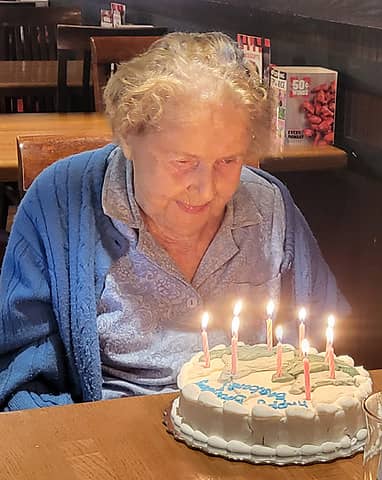 1 candle for each decade
|
| Back to top |
|
|
Fletcher
Member

Joined: 29 Jul 2009
Posts: 1870 | TRs | Pics
Location: kirkland |
|
Fletcher
Member
|
 Sun Dec 03, 2023 1:19 am |
|
|
Just another awesome looking trip in the desert. Jealous once again!
|
| Back to top |
|
|
|
|
You cannot post new topics in this forum
You cannot reply to topics in this forum
You cannot edit your posts in this forum
You cannot delete your posts in this forum
You cannot vote in polls in this forum
|
Disclosure: As an Amazon Associate NWHikers.net earns from qualifying purchases when you use our link(s). |


