Gimpilator
infinity/21M


Joined: 12 Oct 2006
Posts: 1684 | TRs | Pics
Location: Edmonds, WA |
There is perhaps nowhere more pleasant to spend January days than the mountains of the Cabeza Prieta. The afternoons are warm, the weather usually flawless and perfect camping opportunities abound. Rumors of lawless and scary illegals keep most visitors away, and the fact that you have to drive about 30 miles of deep-sand roads from any direction to get into the area. A permit is also required to cross through the Barry Goldwater base, but that is easily obtained online, and also free.
The truth of the matter is that it is in the best interest of the illegals to hide from anyone and everyone. I have never seen a single one of the night walkers. But you do find their black water jugs and carpet-bottomed slippers which hide their tracks in the sand. Tuna packets and sports drinks bottles are also found in their hidden camps in the canyons. Sometimes abandoned blankets, sleeping bags, or backpacks with broken straps. The border patrol, which you are likely to encounter, drag strings of tires back and forth, behind their trucks, to make a clean pallet, from which they can read fresh tracks. They call these the drag-roads.
When Matthias invited me to join a group he was assembling in the Cabeza Prieta, I jumped at the opportunity.
1-13-24
Peak 2045
We started in the Gila Mountains. I was excited to me some desert hiking legends, Mark Adrian, Andy Bates and Scott Casterlin. In particular, I have seen Marks name in many hundreds of registers over the years. At first my name didnt jog his memory, but several days later after I signed a register, he saw the gimpilator and all of a sudden he was jubilant with recognition, which was very amusing to me.
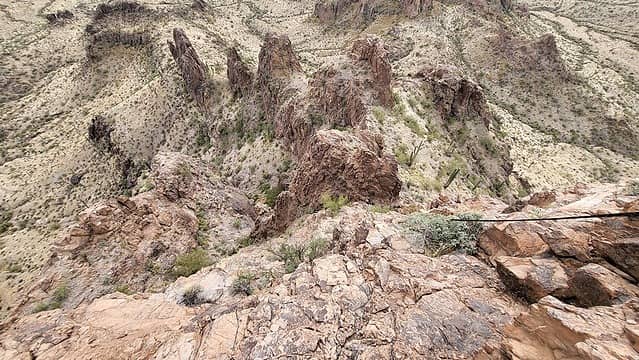
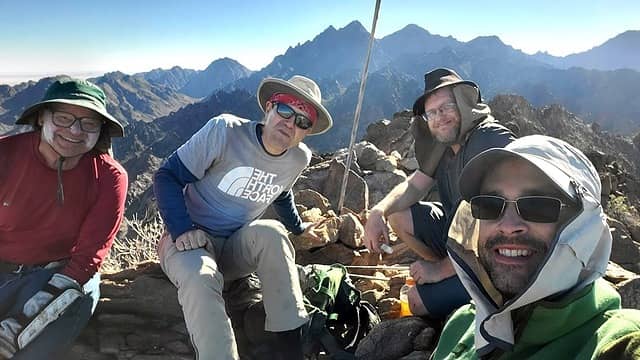 Mark, Matthias, Andy, gimpilator 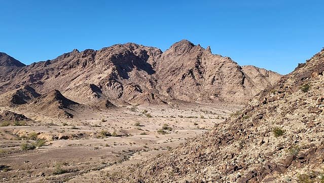 Baker highpoint 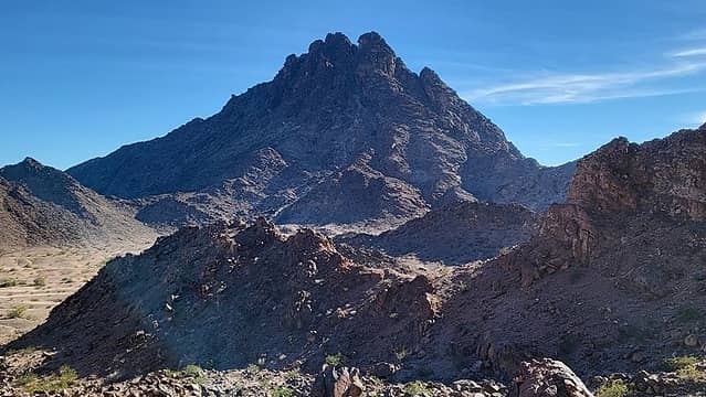 Peak 1356 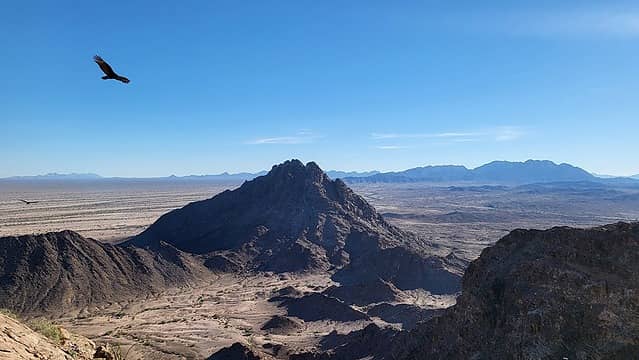 vultures hoped we wouldn't make it  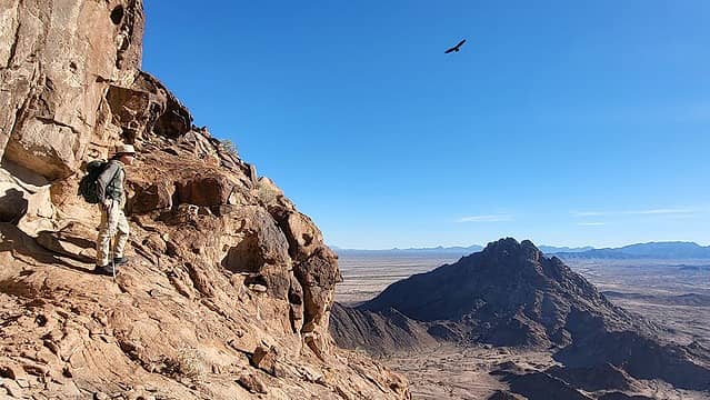 start of the key ledge 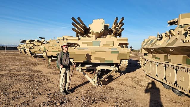 faux tanks 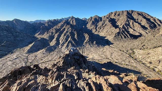 Peak 2258 at right 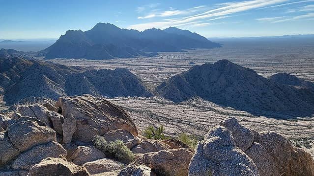 Buck group over there (headed there in a few days) 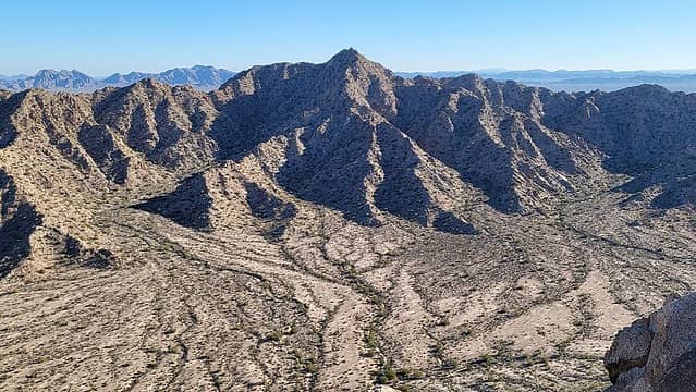 Peak 2101 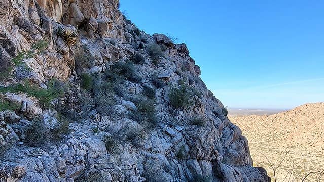 Matthias on the ledge traverse 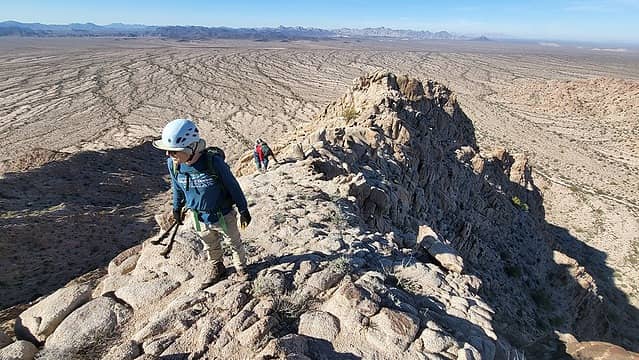 nice upper crest 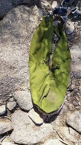 carpet slipper 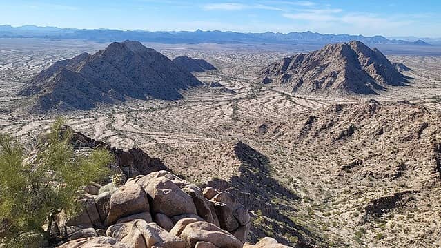 first two peaks on left, Isla Pinta on right 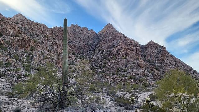 east gully 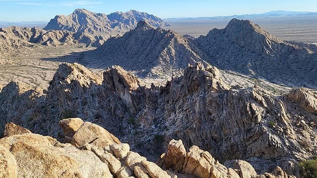 Peaks 1900 and 1894 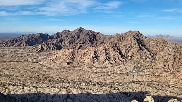 Heart Benchmark 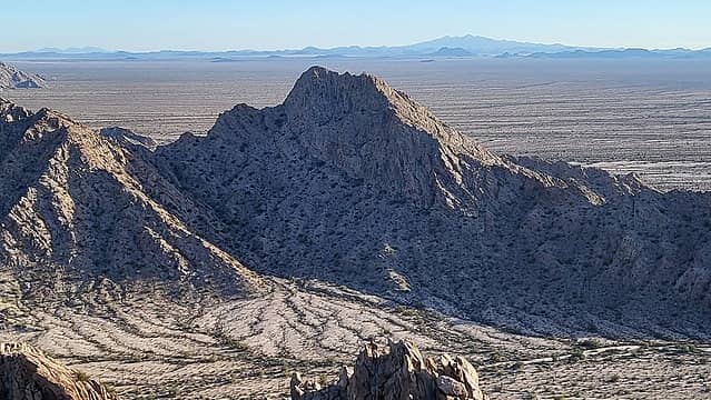 Peak 1894 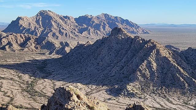 Sierra Pinta highpoint and Peak 1900 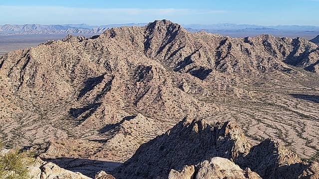 Peak 2101 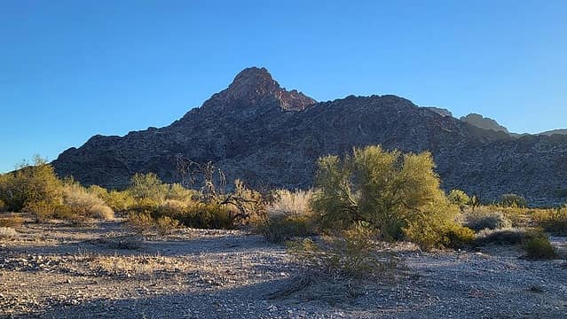 Peak 1894 (Mohawk range) 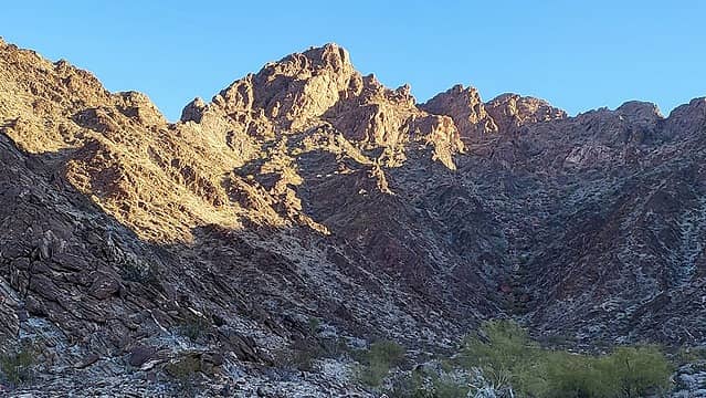 route goes up left skyline 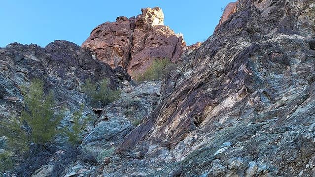 below the first chimney which is not yet visible 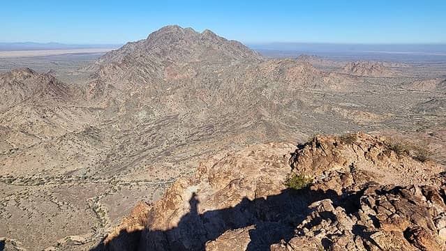 Big Mohawk 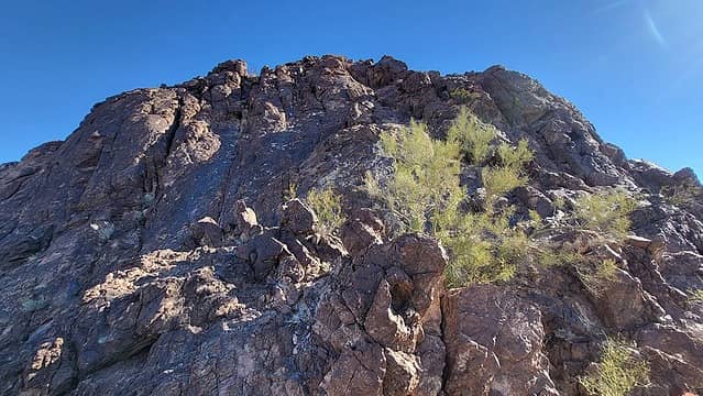 some of the slabs 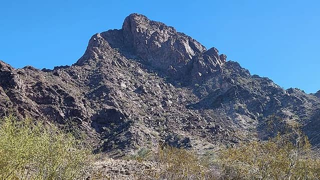 Peak 1894 north face 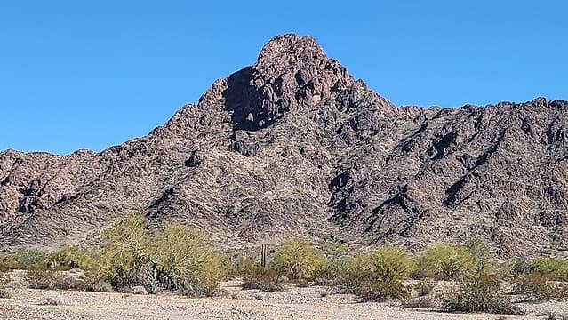 Peak 1894 west aspect 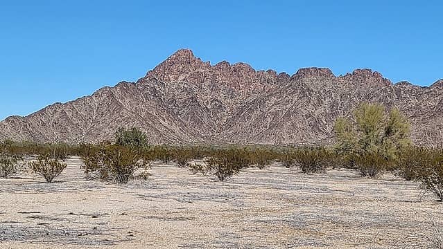 Peak 1894 southwest aspect 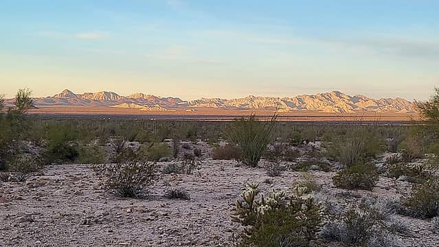 Cabeza Benchmark and Cabeza Prieta Peak, (both very nice hikes) 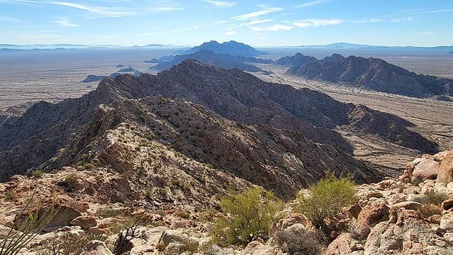 Isla Pinta on right 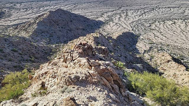 down this way 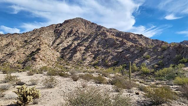 Heart Benchmark  obvious west canyon 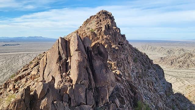 nice ridge! 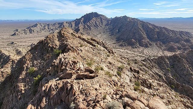 Heart Benchmark 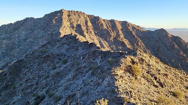 Buck 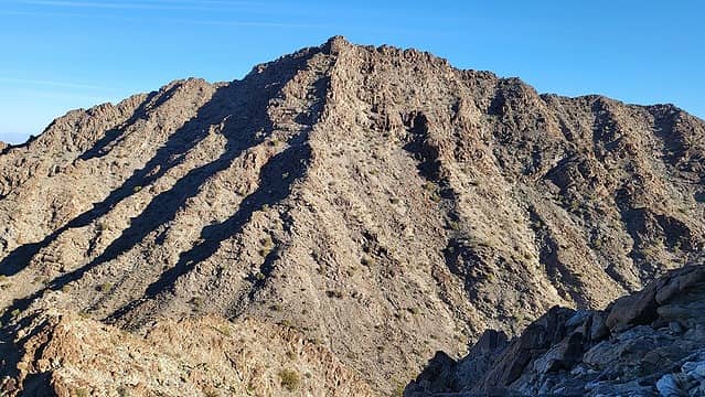 Peak 2460 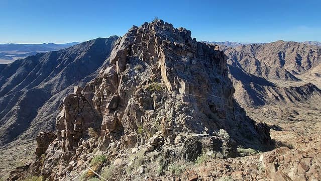 summit block 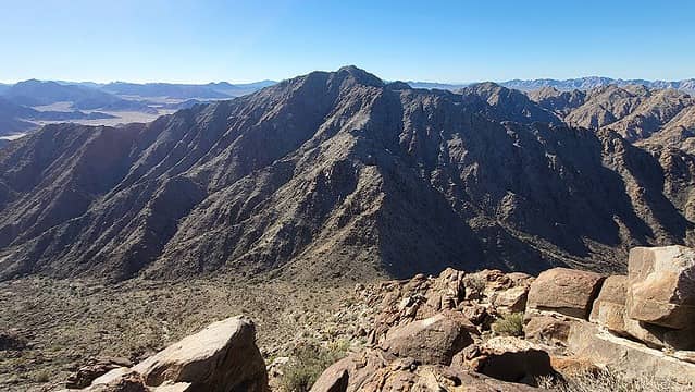 Buck 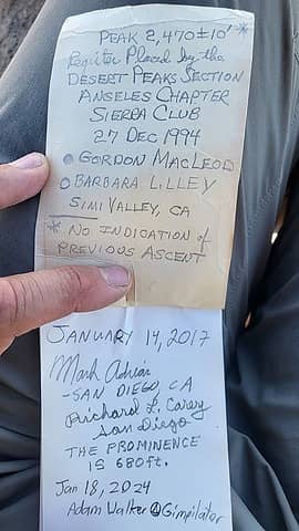 3rd ascent in 30 years 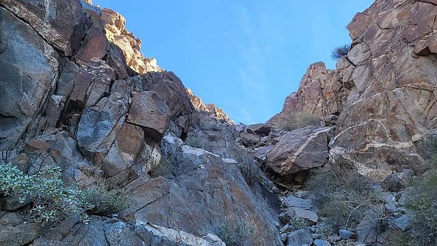 below a vertical rock step 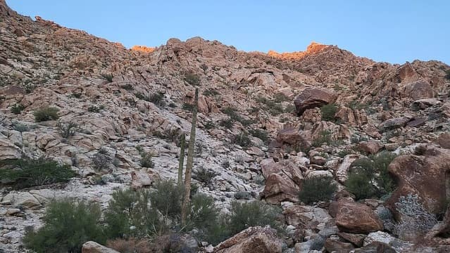 upper basin 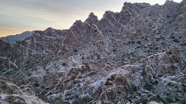 cool strata 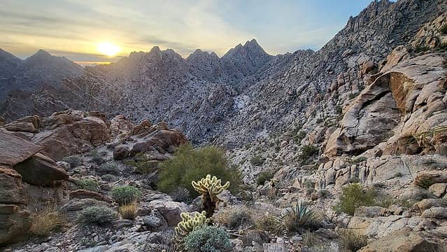 a fine morning in the mountains 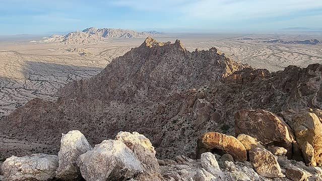 Peak 2364 (up next) 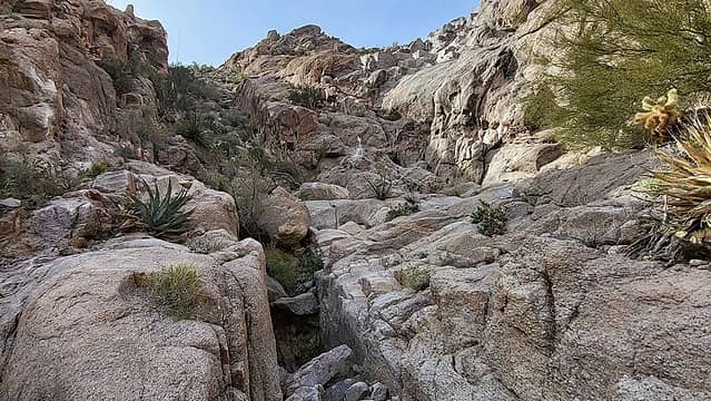 hidden chute 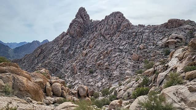 sub-peak 2302 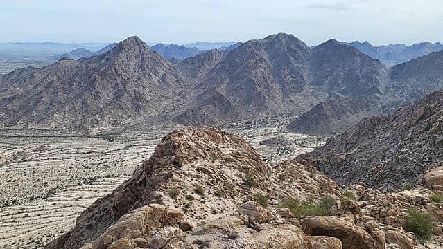 Peak 2553 and Buck 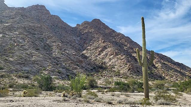 Peak 2364 with ascent gully visible 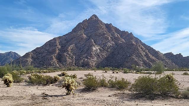 Peak 2364 north face  After these first 8 tacos, I ate 5 more  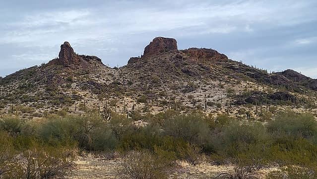 Pinhole 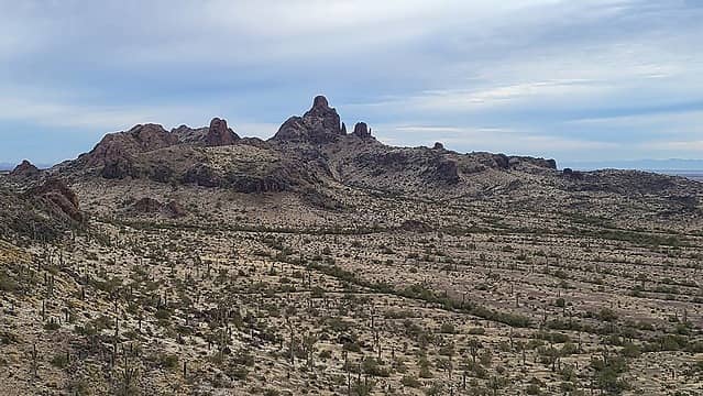 Peak 2392 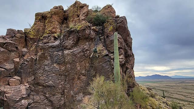 Matthias rappelling from the gully over the class 5 chute 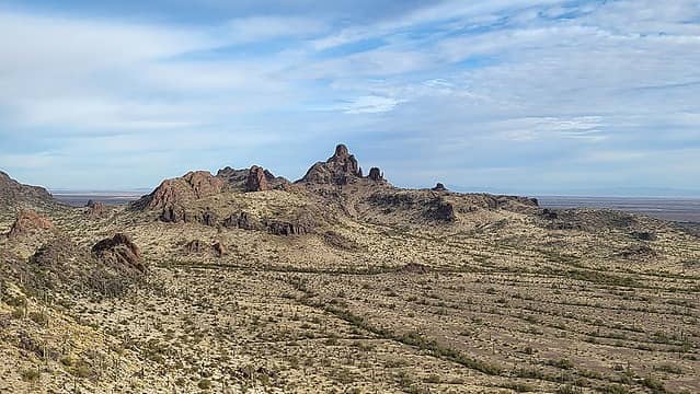 Peak 2394 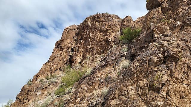 chimney on the left 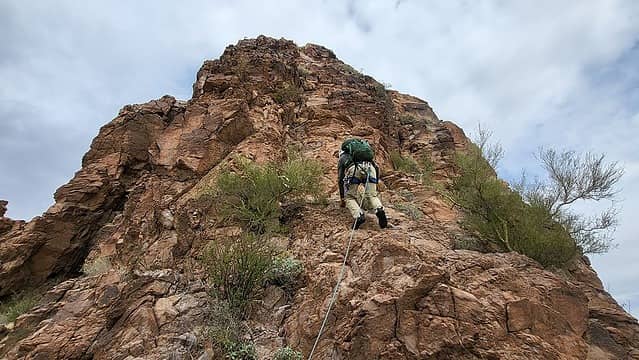 Matthias exploring above the notch 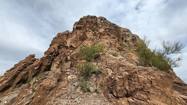 nearing the top 
 pucker-factor (old fixed line visible) 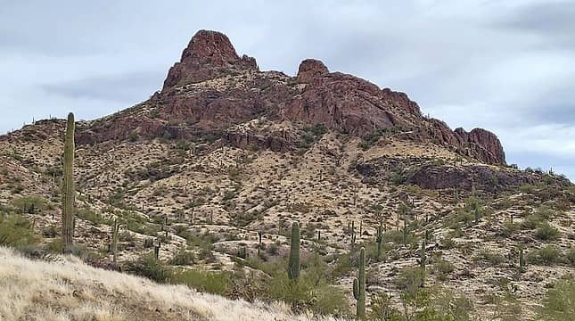 Peak 2394 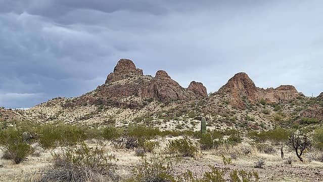 weather moving in 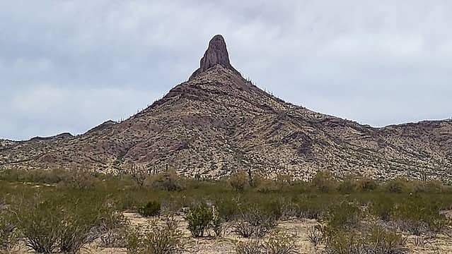 "Submarine Rock" soloed in January 2022
|


